Grassington Walks: Wharfedale Routes from the Village
Plan Grassington walks in the Yorkshire Dales, from the Linton Falls riverside loop to Grass Wood and the moor edge, with distances, ascent and parking.
On this page
Grassington puts you straight onto the River Wharfe, with a cobbled square for coffee before and after and a choice of low riverside miles or a high edge with views across Wharfedale. The two circuits described here both leave the village on foot, so you never need to move the car once you have parked. Choose the riverside loop for waterfalls, woodland and an easy gradient, or the Edge Top circuit if you want a proper climb and a longer day out.
Distances and climbing are modest by mountain standards, but the ground varies: walled lanes, field paths, limestone riverbank and, on the higher route, a steady pull from the valley floor. Boots rather than trainers make sense after rain, and the riverside stretch past Linton Falls is slippery where the rock is wet.
Where Grassington walks start
The main trailhead is the pay-and-display car park at the Yorkshire Dales National Park Centre in Grassington, which has toilets and sits a couple of minutes from the village centre. It fills early on weekends and bank holidays, so aim to arrive in the morning if you are driving in. Linton Falls has its own parking for the waterfall walks, and on-street parking in the village centre is limited.
From the car park, walk to the far corner and pick up the sign for Linton Falls and the riverside path, which leads through a gate onto the walled Sedber Lane. That lane drops steeply toward the river and is the start of the waterfall loop. For the Edge Top circuit you begin instead at Hebden, a short drive or a valley walk north of Grassington, outside the Old School Tea Room on the B6265.
DalesBus services connect Grassington with Skipton, Kettlewell and other Wharfedale villages, with seasonal services running deeper into the dales. Timetables change by season, so work out your return connection before setting off rather than at the end of the day.
Linton Falls, Ghaistrill's Strid and Grass Wood loop: distance, ascent and time
This circuit from the National Park Centre car park covers 8.3 km (5.2 miles) with 200 m (656 ft) of climbing and takes most walkers around 2 hours 15 minutes. The grading is moderate, with no summits, and the climbing is spread across the morning rather than concentrated in one brutal pull. It is the better choice for a half day, a mixed-ability group or a day when cloud sits low on the moors.
Allow extra time for the stops: the falls, the strid and the woods are the point of the walk, and the village square at the end is worth an hour on its own. Cafes, pubs and shops line the main street and square, so you can finish with lunch rather than carrying it.
Route description: Sedber Lane, Linton Falls footbridge and the hydro weir
Follow Sedber Lane down between its walls to reach Linton Falls, a limestone cascade with a weir just upstream. A wooden footbridge crosses directly above the falls, and a short detour through the gap in the wall on the right drops to the riverbank some 50 m downstream for the classic view. The rocks are slippery when wet, so pick your spot carefully.
Continue along the north bank past a second weir and the restored hydroelectric station, which was originally built in 1909, abandoned in 1948 and brought back into operation in 2012. Watch for the gantry and the two Archimedean screws that drive the plant. Beyond it the path runs to Grassington Bridge, where you cross the road with care and pick up the path on the far side.
Upstream to Ghaistrill's Strid and through Lower Grass Wood
Turn upstream along the River Wharfe, following the path past the wooden footbridge and through gaps in the walls. The river narrows at Ghaistrill's Strid, a fast channel over rock that is at its most impressive after heavy rain; a short drop to the left gives the closer view. The name comes from an old word for a narrow channel, and this is the same kind of feature as the better-known Strid further downstream.
Past the strid, stiles and gates lead into Lower Grass Wood, where the path runs close to the water before a set of steps lifts you away from the bank. At the next junction the two branches rejoin about 500 m further on, so either works; the right-hand option keeps your height while the left drops back to the river. Watch the ground here after rain, as the steps and roots stay slick for days.
Grass Wood, Fort Gregory and the return by Cove Lane
A short stretch of quiet Grass Wood Lane leads to the gate into Grass Wood, an ancient broadleaved wood noted for its limestone flora and birdsong. The gravel track climbs steadily for roughly 400 m before levelling at a four-way signpost, where the trees open enough to look across to Kilnsey Crag.
The right-hand branch at the signpost climbs to Fort Gregory, the remains of an Iron Age hillfort, though the earthworks are modest and the steps up are slippery when wet. Skip it if anyone in the party is unsteady on their feet; the woods themselves are the reward. Back at the signpost, keep straight on toward Grassington along the descending track.
Leave the wood by the gate stile and cross the field to walled Cove Lane, which runs back toward the village with a last look across to Grass Wood. The lane meets the road and leads into Grassington past the Methodist Church and into the main street. Take the time to wander the square before returning to the car park.
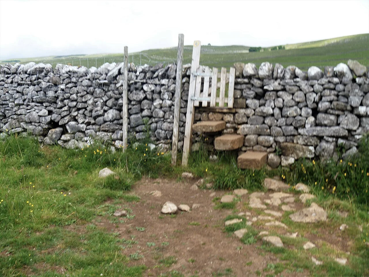
Hebden, Edge Top and the River Wharfe circuit: 9 km (5.6 miles) with 222 m (728 ft) of ascent
The second circuit starts at Hebden and covers 9 km (5.6 miles) with 222 m (728 ft) of climbing in about 3 hours, graded moderate. The climbing is front-loaded: you gain roughly 120 m from the village to Edge Top, rising from around 180 m to a little over 300 m above sea level. After that the route is nearly all descent and riverside walking, which makes it a good choice if you would rather get the effort out of the way early.
Hebden sits just north of Grassington on the B6265, and the walk begins outside the Old School Tea Room, which makes a convenient meeting point and a decent finish.
Route description: High Green, Edge Top and the descent to Grassington
Head north from the tea room, cross the B6265 carefully and climb the dead-end tarmac lane called High Green toward Hole Bottom, with Hebden Beck running down on your right. Continue up the farm access track toward Tinker's Lane to reach the high ground around the 300 m mark. Do not drop into the valley yet; turn right along Edge Lane across Edge Top, passing the transmitter that serves Grassington.
The transmitter viewpoint gives a clear line down Wharfedale to Grassington, with the stepping stones near Linton visible below and Pendle Hill roughly 20 miles away to the south-west on a clear day. Walk north-west along Edge Lane for another 300 m, then turn left down through fields on a bridleway signed for High Lane. Supervise children and dogs around livestock in these pastures.
High Lane delivers you directly into the top side of Grassington, and a few minutes of strolling brings you to the shops and cafes. This is the natural halfway stop, with the Market Square and its food options close at hand.
Linton Falls, the stepping stones and Hebden Beck back to Hebden
From the village, follow the footpath down Station Road and find the gap in the left-hand wall of the bridge leading to the riverside path toward Linton. The four-arched Grassington Bridge, originally built for packhorses in the 17th century and widened in 1780, makes a good pause. Continue past Linton Falls Hydro and the natural falls themselves, where the Wharfe cuts channels through limestone bedrock.
Cross the footbridge above the falls and walk through Linton and the churchyard of St Michael and All Angels before taking the field path to the stepping stones on an S-shaped bend of the river. Cross only when the water is low and no water is running over the tops of the stones; in higher water stay on the path on the north side of the river between Linton Falls Bridge and the stones, which keeps you dry on the same line.
Follow the north bank downstream on the Dales Way toward Hebden Suspension Bridge, passing a second set of stepping stones near where Hebden Beck meets the Wharfe. Cross the suspension bridge if you want the full loop, then take Mill Lane for a few metres and turn left to follow Hebden Beck upstream. The final climb through tree glades brings you back up to the village and the tea room.
The shorter riverside option to Hebden Suspension Bridge
If a full circuit is more than you want, the riverside walk from Grassington to Hebden Suspension Bridge covers about 3.5 miles (5.6 km) and stays almost flat along the Wharfe. It suits families and slower walkers, and you can turn back at the bridge rather than completing a loop. The same wet-rock caution applies at the falls and on the bank.
Walks further up Wharfedale: Burnsall and Conistone Pie
Two longer outings start from the village rather than looping back to it. The Grassington to Burnsall route is roughly 5 miles (8 km) each way along the river, with refreshments in Burnsall before the return, and the path can be muddy in winter. The Conistone Pie route is around 6 miles (9.7 km) through limestone country with a panoramic finish above the village, reached through the gorge section near Conistone. If you are weighing up other northern hill days, compare these with hiking in the Lake District before settling on a base.
Beyond Wharfedale, the Yorkshire Three Peaks circuit and the Malham Cove walk make classic days out from a Dales base, and the Ingleton waterfalls trail adds a limestone-and-water day on the western side of the national park.
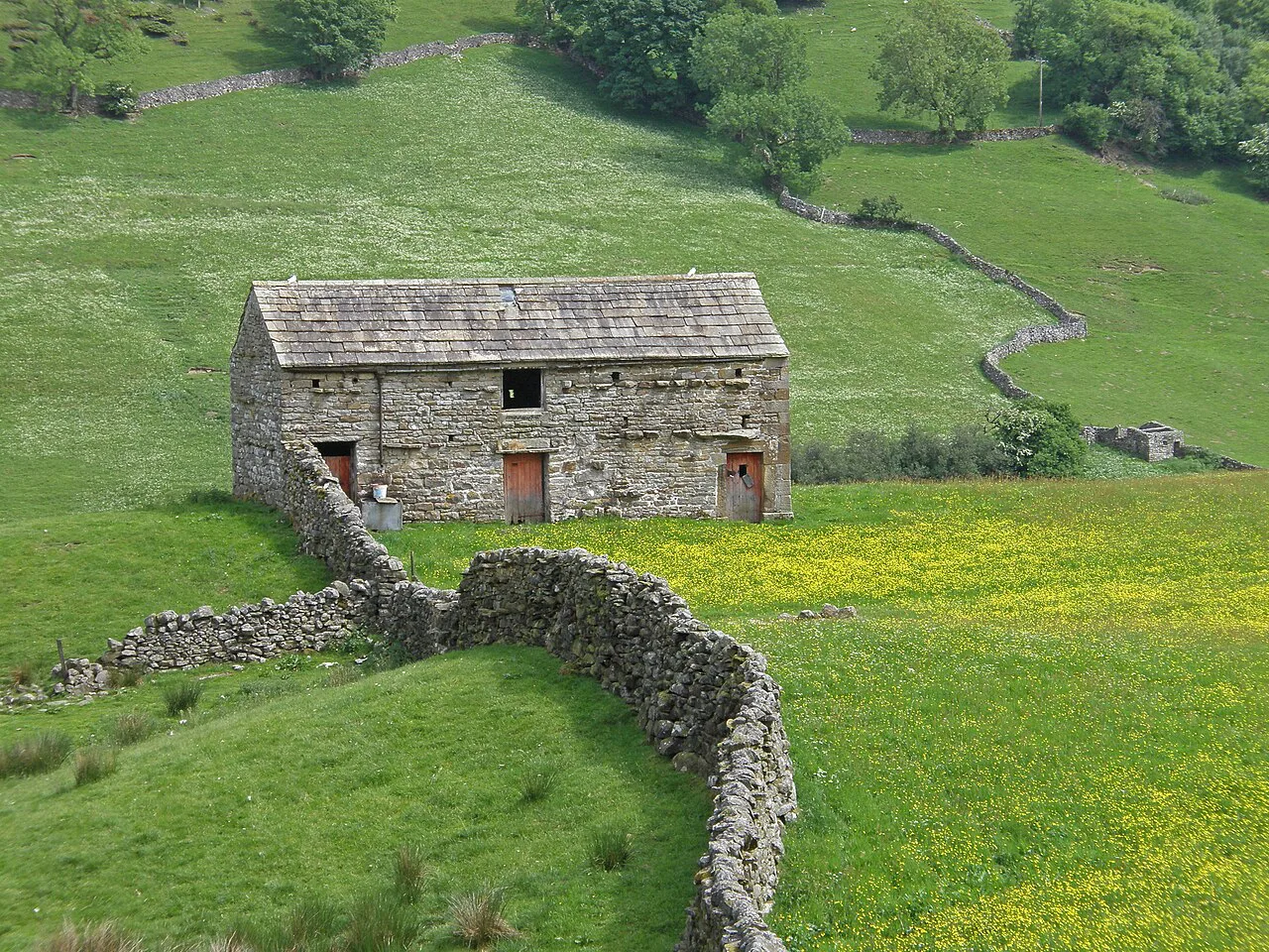
When to go: spring wildflowers, autumn colour and winter mud
Spring and early summer are the best months for the Linton Falls and Grass Wood loop, when the woods fill with flowers and birdsong. Autumn brings colour along the Wharfe and firmer ground on the higher Edge Top route. Winter is quieter but the riverside paths and field crossings turn muddy, and the limestone around the falls stays slick.
Afternoon rain is common in the dales, and the Wharfe rises quickly after heavy rain, which changes both the falls and the stepping stones. Start early enough to be off the exposed Edge Top section before any weather arrives, and keep a dry alternative in mind for the river crossing.
Buses, parking and getting back to the village
For the Linton Falls, Ghaistrill's Strid and Grass Wood loop, the National Park Centre car park is the start and finish, and Linton Falls parking offers an alternative closer to the water. For the Hebden circuit, park considerately in Hebden or use the Grassington car park and walk the short link north. Both routes return to their start, so no transport logistics are needed mid-walk.
If you are arriving by bus, DalesBus links Grassington with Skipton and Kettlewell and with other villages in Wharfedale, with seasonal services going further into the dales. Build your day around the timetable rather than hoping for a late connection.
What to wear and where the ground gets slippery
Waterproof boots with decent tread are the right choice for both circuits, as the riverside rock, the wooden footbridge and the steps in Lower Grass Wood all get slick. Carry a shell and a warm layer even on a fine forecast, since the Edge Top section is exposed once you leave the shelter of the lanes.
A paper map at 1:25,000 is worth having for the field crossings and walled lanes, where junctions come up quickly and phone signal is patchy. The Ordnance Survey Explorer OL2 sheet covers the southern and western Yorkshire Dales and includes both routes.
Plan Your Visit
Grassington works as a walking base because both routes leave from the village and neither needs a long transfer. Pick the 8.3 km riverside loop for waterfalls and woods on an easier day, or the 9 km Edge Top circuit when you want a climb and a long river finish.
Park early, keep a dry option for the stepping stones, and leave time for the square at the end. Check the National Park Centre's current opening days before relying on it for information when you arrive.
Frequently Asked Questions
How long is the walk from Grassington to Linton Falls?
The full Linton Falls, Ghaistrill's Strid and Grass Wood loop from the National Park Centre car park is 8.3 km (5.2 miles) with 200 m (656 ft) of climbing, taking about 2 hours 15 minutes. The falls themselves come within the first kilometre or so of the walk.
Is the Grassington to Hebden river walk easy?
The riverside stretch along the Wharfe toward Hebden Suspension Bridge stays almost flat and covers about 3.5 miles (5.6 km), which makes it easy walking. The full Hebden, Edge Top and River Wharfe circuit is a moderate 9 km (5.6 miles) with 222 m (728 ft) of climbing.
What are some short walks near Grassington?
The Linton Falls and Grass Wood loop is the best short outing at 8.3 km (5.2 miles). The out-and-back to Hebden Suspension Bridge, roughly 3.5 miles (5.6 km), is even shorter if you turn around at the bridge.
Can you cross the stepping stones at Linton?
Only when the water is low enough that nothing is running over the tops of the stones. In higher water, stay on the north-bank path between Linton Falls Bridge and the stepping stones and you can continue the walk dry.
When is the best time of year to walk from Grassington?
Spring and early summer bring wildflowers and birdsong to Grass Wood, and autumn gives colour along the Wharfe with firmer ground on Edge Top. Winter riverside paths and field crossings are muddy, and the limestone near the falls is slippery.
Where should you park for Grassington walks?
Use the pay-and-display car park at the Yorkshire Dales National Park Centre, which has toilets and is a short walk from the village centre. It fills early on weekends and bank holidays, and Linton Falls has its own parking for the waterfall walks.
What is Grassington village famous for?
Grassington is known for its cobbled square, independent shops and riverside setting, and it stands in for the fictional Darrowby in the modern All Creatures Great and Small series. The Grassington Folk Museum and the National Park Visitor Centre both sit in the village.
Sources
Trail notes for your next trip
Optional updates when we add or revise hiking guides.
You might also like
Continue reading
More guides you'll find useful