Ingleborough Walk: Routes from Clapham, Ingleton and the Hill Inn
Compare Ingleborough walk routes from Clapham, Ingleton and the Old Hill Inn, with distances, ascent, parking and advice for the summit plateau in cloud.
On this page
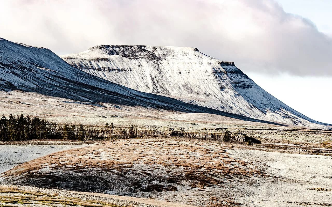
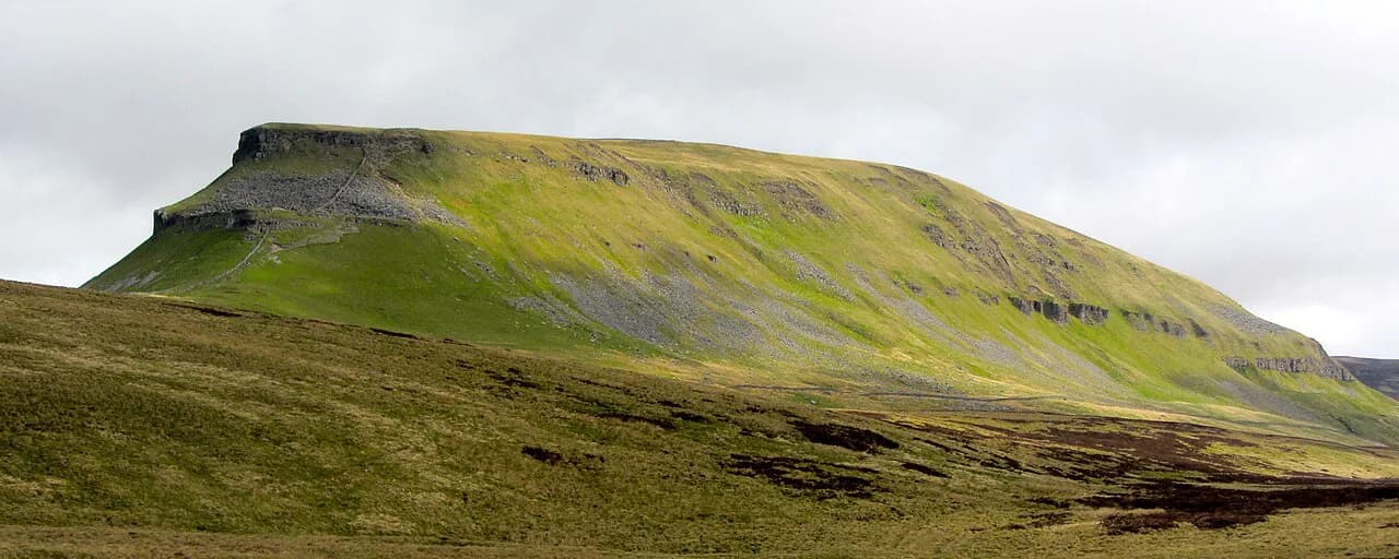
Ingleborough is the second-highest summit in the Yorkshire Dales National Park, a 724 m (2,375 ft) whaleback of millstone grit sitting on limestone, and its bare plateau gives one of the widest panoramas in northern England. The climb suits hikers who want a real mountain day without expedition logistics, but the three main approaches feel quite different underfoot. Pick your start point by what you enjoy: cave and gorge scenery, a short steep pull, or a quiet circuit finishing at a pub.
Where Ingleborough is and which villages serve as bases
Ingleborough rises west of the dales' central fells, between the villages of Ingleton to the south-west and Clapham to the south-east, with Chapel-le-Dale tucked below its north-western flanks. Ingleton is the larger base, with several car parks, cafés and a play park near the swimming pool, while Clapham is smaller and puts you straight onto the estate paths that lead towards the mountain. For a wider menu of day routes in the same national park, the walks in yorkshire dales range from riverside strolls to summit days like this one.
Both villages sit within a few miles of each other on the western side of the park, so you can sleep in one and start in the other if parking or accommodation pushes you that way. The Old Hill Inn, on the B6255 between Ingleton and Hawes, is not a village but a roadside inn with parking nearby, and it works as a trailhead in its own right. Wherever you base yourself, plan the drive back as part of the day: the lanes between Ingleton, Clapham and Chapel-le-Dale are narrow and slow in holiday traffic.
Route options at a glance
Three approaches cover almost every hiker's needs. From Ingleton it is a 7-mile linear there-and-back on a rocky access track; from Clapham it is a 10-mile circuit through the Ingleborough Estate, Trow Gill and past Gaping Gill; and from the Old Hill Inn it is a 5.0-mile (8.0 km) circular with 470 m (1,542 ft) of climbing, graded 2-C for rugged terrain and steep sections, with an estimated walking time of 2 hours 40 minutes.
Choose Ingleton if you want the shortest day and the simplest navigation; choose Clapham if the journey matters as much as the summit; choose the Old Hill Inn if you want a compact circuit with a pub at the finish and fewer people around you. The Clapham route is the longest and the most varied, and its return through limestone pavement is the reason many hikers rate it the finest way up the mountain. If you enjoy weighing up several summit routes against each other, the same decision-making applies to hiking in Peak District, where short and long lines up the same hills sit side by side.
Ingleborough from Clapham via Trow Gill and Gaping Gill
From the Clapham car park, cross the beck and head up past the Sawmill Café to the start of the Ingleborough Estate Nature Trail. You can walk through the estate woods, where an admission charge applies, or stay on the road past the café and pick up the signed bridleway behind the farm, which reaches Ingleborough Cave without the fee. Either way the tracks converge at the cave, and from there a wide path runs on to Trow Gill, a narrow limestone gorge where climbers often work the walls.
Above Trow Gill the path follows a wall uphill to a double stile, where a short detour to the right reaches the mouth of Gaping Gill, the pothole where a stream vanishes underground and reappears at Ingleborough Cave. Back on the main line, the route climbs to Little Ingleborough and then onto the summit plateau. The full circuit from Clapham comes in at 11 mi (17.6 km) with 561 m (1,840 ft) of climbing on the Where2Walk measurement, which is a longer day than the village-to-summit-and-back figure of 10 miles.
The descent is the part that makes this route. Leave the plateau on the Yorkshire Three Peaks path towards Horton, then at the junction after the ruin of an old farm building bear right for Clapham, following Pennine Way waymarkers across wide limestone pavement before a stony track drops through a plantation and back into the village. Watch the junctions rather than the crowds: the Y3P traffic continues straight on to Horton while your line turns off.
Ingleborough from Ingleton via Crina Bottom
Start at the Community Centre pay-and-display car park in Ingleton, leave by the eastern exit onto Back Gate and turn left, then right onto High Street following signs for White Scar Cave. Take the left fork as the road climbs, and pick up the signed path for Ingleborough, which runs up a wide, rocky access track shared with the Pennine Journey national trail. After roughly 1 km (0.6 mi) the track turns right at a right angle and continues to a gate onto open fell, with the off-grid house at Crina Bottom ahead on your left.
Beyond Crina Bottom the gradient is steady until the final pull, where the path steepens onto the summit. The top is a broad, rocky plateau: the trig point, large cairn and viewpoint seat sit to the left, but the true summit is a modest mound that is higher than the ground around it. Retrace your steps for the descent, because the track is easy to lose from above if you wander looking for a different line.
Ingleborough circular from the Old Hill Inn
Park on the roadside near the Old Hill Inn on the B6255 and walk a short way along the road before turning right through a concealed stile in the wall. The path crosses fields towards two large trees and then climbs gently, signed Ingleborough 2 miles, onto the lower slopes where the zigzag path up the mountain's face comes into view. This whole ascent is part of the Three Peaks route, so expect company on summer weekends.
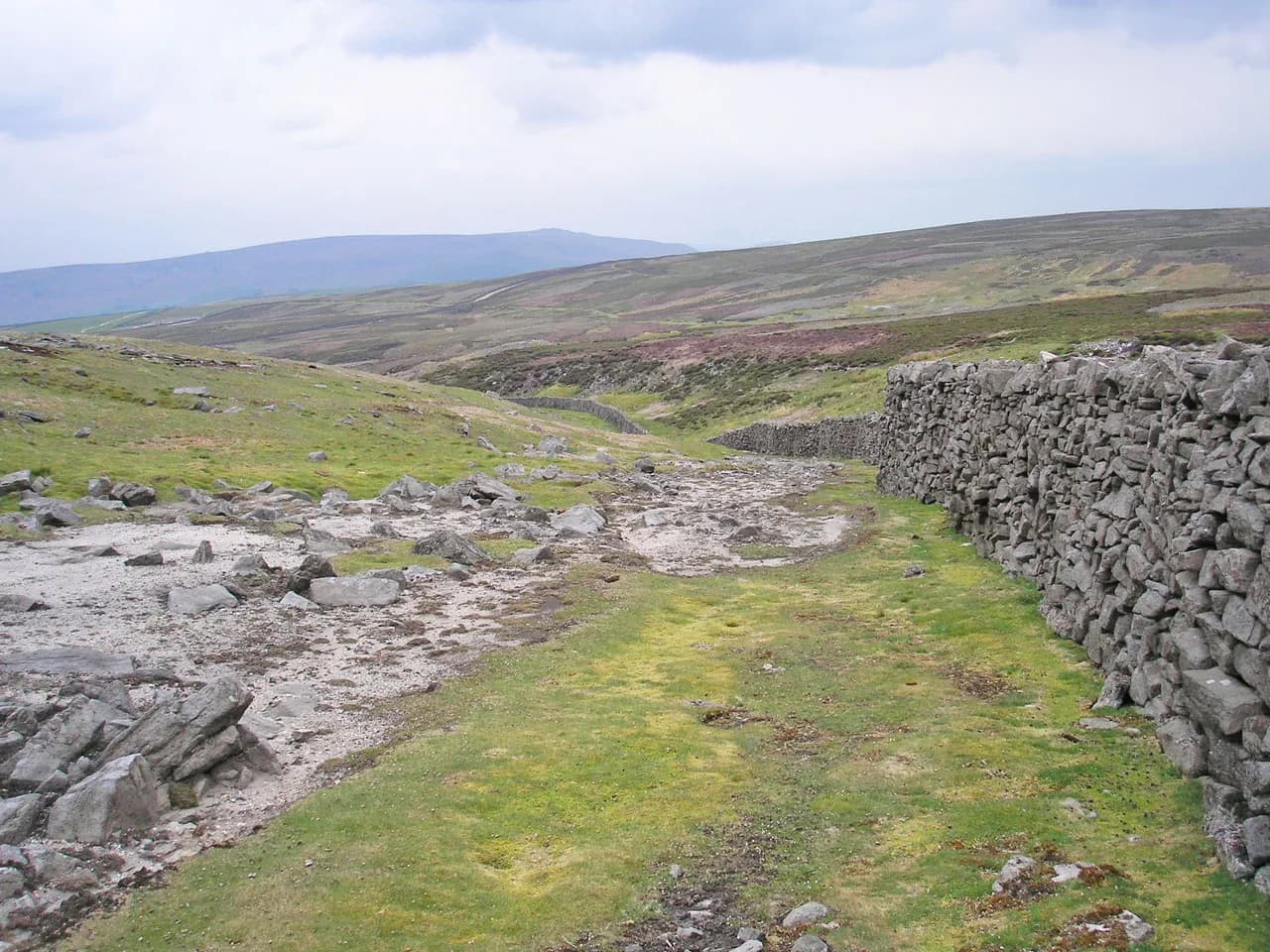
Where the ground steepens, the route crosses a stretch of wooden boards over wet, peaty ground, which keeps you out of the bog and fixes the line for about half a mile. Above that, man-made steps zigzag up to a kissing gate and a well-defined path runs across the plateau to the trig point. For the return, go back through the kissing gate and follow the path around the top of Simon Fell for about half a mile to a wall, then turn left down a steep grassy descent to pick up the wall line and the track back to the pub.
Distance, ascent and walking time by route
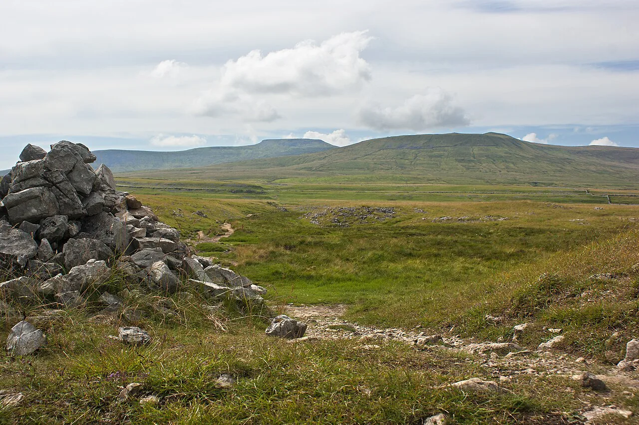
Keep the figures with their sources, because the routes are measured differently. Ingleton is 7 miles out and back with a steep final pull, Clapham is 10 miles as the village figure or 11 mi (17.6 km) with 561 m (1,840 ft) on the full circuit measurement, and the Old Hill Inn circuit is 5.0 miles (8.0 km) with 470 m (1,542 ft) of ascent and about 2 hours 40 minutes of walking. Add time for stops: the cave, gorge and pavement sections on the Clapham route slow you down far more than the distance suggests.
For most hikers with average fitness, the Old Hill Inn loop fits a half day and the Ingleton there-and-back a comfortable morning or afternoon. The Clapham circuit is a full day once you add the estate approach, the cave detour and the descent through the pavements. If you are training for bigger days or ticking off the three peaks as a challenge, the Clapham route is the better building block because it links to the main Three Peaks line.
Trailheads, parking and public transport
All three starts rely on pay-and-display car parks or roadside parking rather than a station or lift. Ingleton has several large pay-and-display car parks, and the Ingleton route begins from the one by the Community Centre; Clapham has a large car park in the centre of the village; the Old Hill Inn start uses roadside parking near the inn on the B6255. Arrive early on summer weekends and bank holidays, and have a fallback plan if the first car park is full.
Buses connect the area rather than delivering you to a single trailhead: services run between Skipton, Settle, Kirkby Lonsdale, Hawes and Lancaster, so check timetables for the village you intend to start from before committing to a car-free day. Ingleton and Clapham are the practical bus bases; the Old Hill Inn is a roadside stop on a mountain road and harder to reach without a car. Car-park charges and bus fares vary, so check current prices and timetables when you plan your day out.
The summit plateau and navigation in cloud
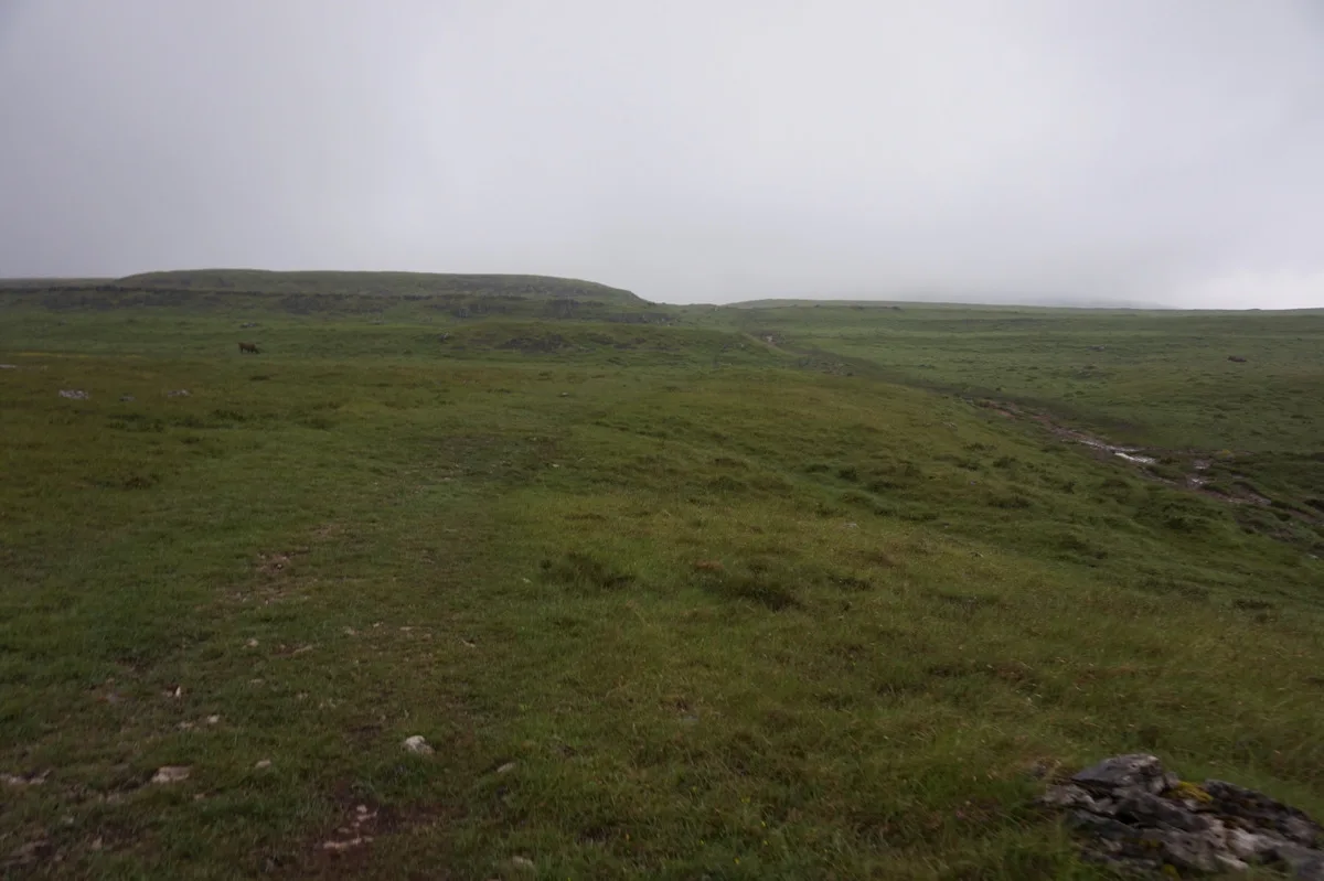
Ingleborough's top is a wide, flat, rocky plateau with steep drops around its edges, and the paths off it are not obvious from the summit. In clear weather the position is simple; in cloud it is disorientating, and the mountain is often shrouded when neighbouring fells are clear. Carry a map and compass, know the bearing for your descent line, and use the cairns carefully, because many of them sit on the edge rather than on the path.
On the Clapham route, the way off the plateau runs east-north-east to the flagged descent, then right at the split towards Horton and right again after the old farm ruin to head for Clapham. On the Old Hill Inn circuit, retrace to the kissing gate and take the Simon Fell path rather than dropping straight back down the steps. Use Ordnance Survey Explorer OL2, which covers the Three Peaks area, and treat the map as the primary tool rather than a backup to your phone.
When to go: seasons, ground conditions and weather
Late spring to early autumn gives the longest days and the driest ground, with the boardwalk on the Old Hill Inn route doing most work after wet spells. The plateau can hold cloud and wind at any time of year, and snow or ice on the upper zigzags makes the steep sections serious without an ice axe and the skills to use it. Afternoon storms build quickly in summer, so start early enough to be off the summit by mid-afternoon.
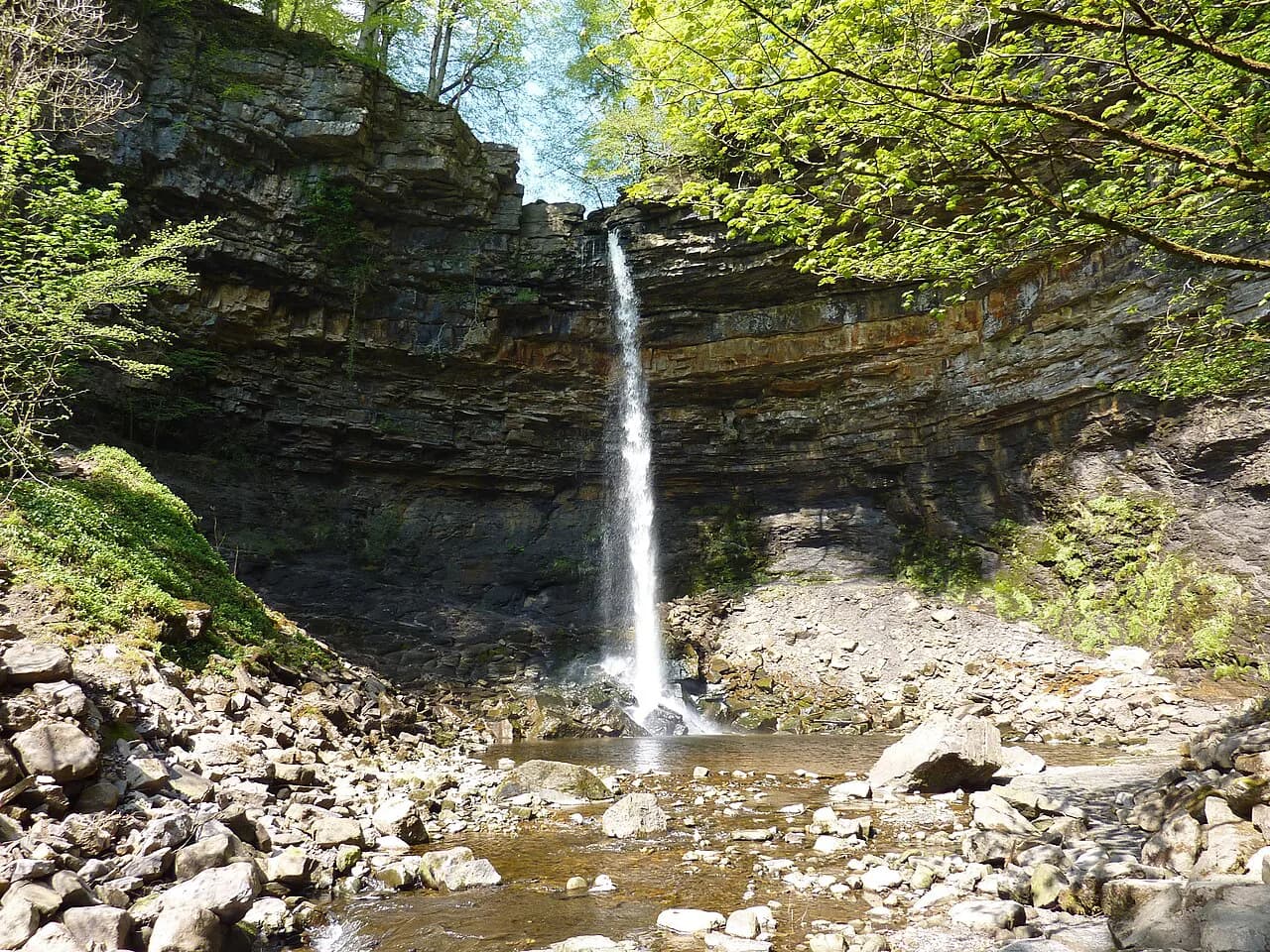
Winter walking is possible on the lower tracks but should be treated as a mountaineering day on the summit plateau, where navigation in cloud and wind becomes the main challenge. Whatever the season, pack waterproofs, warm layers, water and food, since there is no refreshment on the mountain itself. For contrast on a rest day, the ingleton waterfalls trail is a shorter, lower-level walk from the same village.
Gaping Gill winch days and the Ingleborough Estate charge
The Clapham approach crosses permissive paths on the Ingleborough Estate, and in 2025 walkers paid a £2.50 charge to pass through the woods. A public right of way runs a few metres up the road and parallels the woods, rejoining near Ingleborough Cave, which is the way to avoid the charge; the route through the estate is the more scenic option. Confirm the current arrangement with the Ingleborough Estate before you set out, because the charge is set by the landowner.
Gaping Gill itself can be entered by winch during the May and August Bank Holiday weeks, when local caving societies rig a system above the main shaft. You take a ticket number and wait for it to be called, so build in a queue and do not plan a tight return. Outside those weeks the shaft is a viewpoint only, and the edge is unfenced in places, so keep back from the lip.
Facilities, refreshments and what to carry
Ingleton and Clapham both have cafés, pubs and toilets, and the Old Hill Inn provides a pub at the start and finish of its circuit. On the Clapham route, the Sawmill Café sits near the start and Ingleborough Cave has an ice-cream stop, which makes it the most family-friendly of the three days. Fill water bottles before leaving the villages, because the mountain offers no reliable supply.
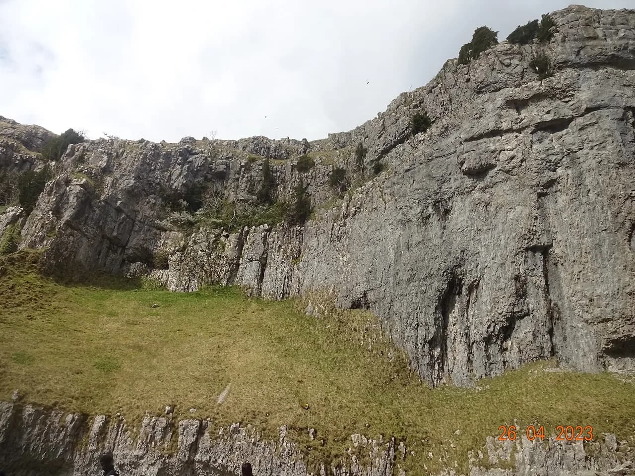
Carry the Ordnance Survey OL2 map, a compass, waterproof layers, a headtorch and enough food for a full day if you are taking the Clapham circuit. Dogs are welcome on the Ingleton route if kept under close control, and the same courtesy applies on the open fell elsewhere. If you want a shorter leg-stretcher afterwards, the malham cove walk gives limestone scenery of a different scale on the other side of the dales.
Picking Your Ingleborough Day
If you have one day and want the classic mountain experience, take the Clapham circuit and give it the whole day, with time for Trow Gill, Gaping Gill and the limestone pavement descent. If you are short on time or want a simpler navigational day, the Ingleton there-and-back is the efficient choice, and the Old Hill Inn circuit suits hikers who want a shorter, quieter loop with a pub at the end. Whichever you choose, start early, carry a map and compass, and be ready to turn around on the plateau if the cloud comes in.
Frequently Asked Questions
How long does the Ingleborough walk take?
It depends on the route. The Old Hill Inn circuit is estimated at about 2 hours 40 minutes of walking for 5.0 miles (8.0 km) and 470 m (1,542 ft) of ascent. The Ingleton there-and-back is 7 miles, and the Clapham circuit is 10 to 11 miles, so both take most of a day once you add stops at the cave, gorge and pavements.
Where is the best place to start the Ingleborough walk?
Clapham gives the most varied day, with the estate paths, Trow Gill, Gaping Gill and a limestone pavement descent. Ingleton is the shortest and simplest approach, and the Old Hill Inn on the B6255 offers a compact circuit with roadside parking and a pub at the finish. Choose by your available time and whether you want scenery or speed.
Is the Ingleborough walk hard?
The Old Hill Inn circuit is graded 2-C for rugged terrain and steep sections, which means a medium day for regular hikers. The Ingleton route has a steep final pull but straightforward navigation in clear weather. The Clapham circuit is longer and the summit plateau can be disorientating in cloud, so map and compass skills matter on all three.
Can you walk Ingleborough from Clapham?
Yes. The route leaves the village car park, crosses the beck and heads up past the Sawmill Café to the Ingleborough Estate paths, then continues past Ingleborough Cave, through Trow Gill and on to the summit. The return drops through limestone pavement and a plantation back into the village.
How far is the Ingleborough walk from Ingleton?
The Ingleton route is a 7-mile linear walk, out and back along the same rocky access track past Crina Bottom. It is the shortest of the main approaches, with a steady climb and a steeper final section onto the plateau.
What is the summit of Ingleborough like in cloud?
The summit is a wide, flat, rocky plateau with steep drops around the edges and few distinguishing features. Many paths leave the top, and cairns often mark the edge rather than the route. Carry a map and compass, note your bearing before you climb, and be prepared to turn back if visibility closes in.
Sources
Trail notes for your next trip
Optional updates when we add or revise hiking guides.
You might also like
Continue reading
More guides you'll find useful