Janets Foss Walk: Decide Your Yorkshire Dales Route
Walk from Malham to Janet's Foss, Gordale Scar and Malham Cove on a 7.9 km (4.9 mile) circuit with 225 m (738 ft) of ascent and a short, steep limestone step.
On this page
The walk from Malham packs three of the Yorkshire Dales' signature sights into a single half-day circuit: the waterfall and pool at Janet's Foss, the cliff walls of Gordale Scar and the limestone pavement above Malham Cove. It suits hikers who want variety rather than a long day out, and it works well for fit families and walkers new to limestone country. The full loop is 7.9 km (4.9 miles) with 225 m (738 ft) of ascent and takes about 2 hours 15 minutes at a steady pace.
Read the route as two halves. The first follows Malham Beck and then Gordale Beck through woodland to the waterfall and the gorge; the second climbs onto the plateau and crosses the pavement before dropping to the base of the cove and back to the village. The standard direction is counter-clockwise, which puts the short steep climb out of Gordale Scar before the cove, so decide early whether that step suits your group before committing to the full circuit.
Malham village trailhead: National Park Centre car park and roadside parking
The walk starts at the pay-and-display car park beside the Yorkshire Dales National Park Centre in Malham, at grid reference SD 900 627. A small amount of roadside parking exists in the village, but Malham gets very busy at weekends and bank holidays, so arriving early is the practical choice. The car park has toilets, and three pubs, a restaurant and a café sit within the village for before or after the walk.
Leave the car park and turn left along the road, passing the church and a café. Just before the Buck Inn, cross the road by Malham Smithy, pass to its right and cross the stone bridge over Malham Beck, then turn right onto the gravel path signed for Janet's Foss. That path is part of the Pennine Way, the long-distance route from Edale to Kirk Yetholm.
For the map, Ordnance Survey Explorer OL2 covers the Yorkshire Dales Southern and Western Area and shows the full circuit. The National Park Centre also stocks the Malham Landscape Trail leaflet, which the park authority recommends for visiting the waterfall. If you are building a longer Dales itinerary, the broader guide to walks in yorkshire dales sets this circuit beside the national park's other day routes.
Walking from the village to Janet's Foss through the woods
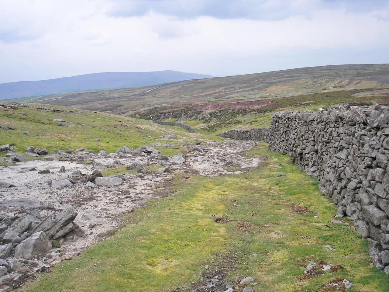
From the bridge, follow the Janet's Foss footpath signs through a series of gates. After roughly 1.6 km (1 mile) you enter the woods at the Malham Tarn Estate sign, and the path undulates through the trees to the waterfall. The walking is easy and shaded, which makes this stretch a comfortable opener before the gorge.
Families wanting only the waterfall can treat this as an out-and-back and skip the rest of the circuit; Janet's Foss comes first precisely because it is the shortest objective from the village. Continue past the information board, up a short climb beside the wall, through a wooden gate and briefly right along the road past a layby. Leave the road through a gate signed for Gordale Scar, about 800 m (half a mile) away.
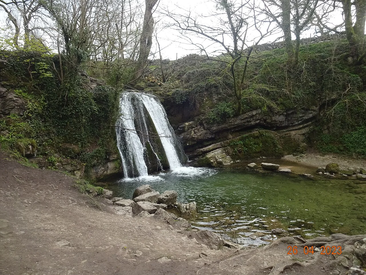
Janet's Foss: the waterfall, its pool and the cave legend
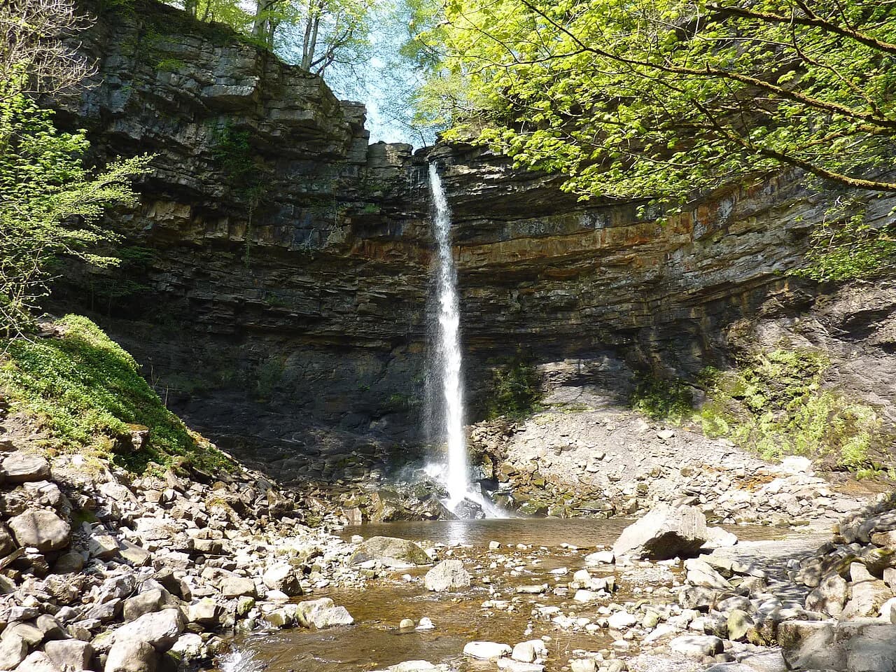
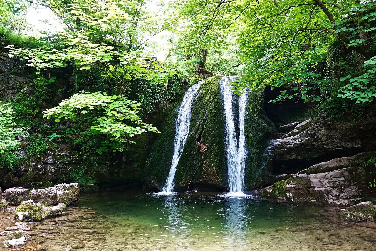
Janet's Foss drops into a small amphitheatre of rock and woodland, with a pool at its base. Local legend, repeated on the site information board, holds that Janet, queen of the fairies, lived in the cave behind the falling water, and foss is the old Scandinavian word for waterfall. The cave and pool make this the natural pause of the first half, but the low light under the trees keeps the ground damp and slippery after rain.
Because the waterfall sits on the woodland path rather than on a detour, there is no separate approach to plan. Treat the stop as short if you are aiming for the full circuit, or as the turnaround point if you are walking with young children. The pool is shallow and tempting on a warm day, but the rocks around the lip are wet and the easiest footing is back on the main path.
On to Gordale Scar: the gorge and its two waterfalls
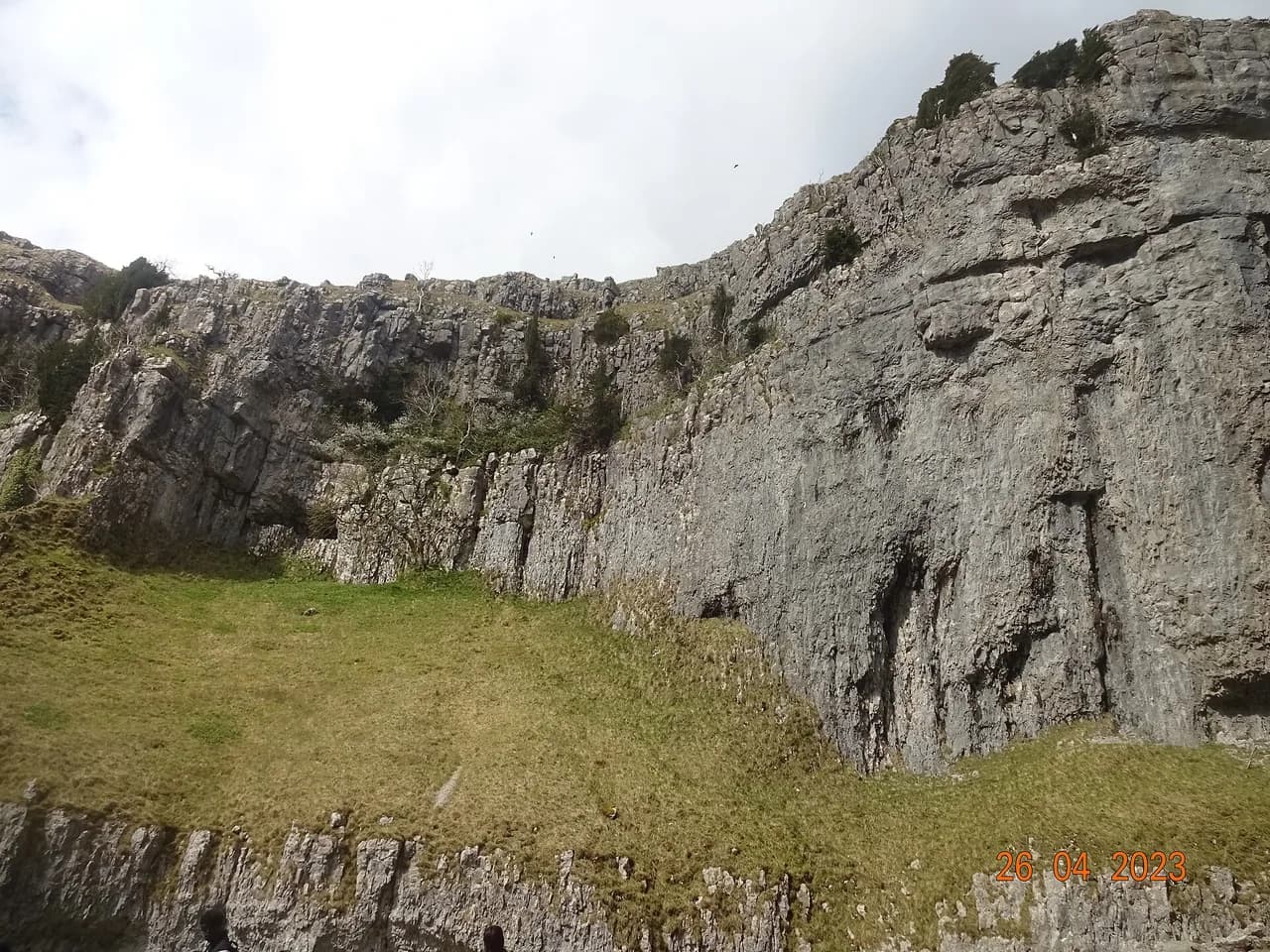
A gravel path leads from the gate around to Gordale Scar, a limestone gorge whose cliffs rise over 100 m (330 ft), with two waterfalls inside it. The gorge was most likely formed when meltwater created a cavern that later collapsed, and it has drawn painters and poets since Turner and Wordsworth. The scale only registers once you are inside the walls, so walk in far enough to look back at the entrance.
The climb from Gordale Scar to the limestone pavement above Malham Cove
From the gorge, retrace your steps to the road and turn right to the layby you passed about 50 m (55 yd) earlier. Cross the bridge over Gordale Beck, go through the wooden kissing gate and follow the sign for Malham Cove, about 1.6 km (1 mile) away. The path keeps to the left-hand side of a wall, crosses fields and climbs stone steps to a gate.
Beyond the gate, continue beside the wall, cross a field, pass a telegraph pole and rejoin a wall before turning right onto the road. A stile opposite leads away from the road, over a small rise, and the path climbs gently onto Sheriff Hill. From the wall corner, signs for Malham Cove direct you the last stretch to the pavement. This short, steep section is the one real decision point: if the limestone step out of the gorge sounds beyond the group, reverse the circuit and climb to the cove first.
Malham Cove: the limestone pavement, the cliff and the peregrines
The pavement above the cove is a field of limestone blocks called clints separated by fissures called grikes, with ferns and lime-loving flowers growing in the gaps. Pass through either gate onto the pavement and follow the Malham sign across it. Walking is a little easier on the right-hand side; the left-hand side is unfenced above a big drop, so keep well away from that edge with children and in wind.
The pavement also appeared in a scene from Harry Potter and the Deathly Hallows Part I, which is one reason to slow down at the top. The other is wildlife: peregrine falcons have nested on the cove since 1993, and bird watchers often train binoculars on the cliff top, with green woodpeckers, redstarts and cliff-nesting house martins also seen. Keep to the path along the rim rather than approaching the edge for a view.
Descent to the base of the cove and the return to Malham
Cross the pavement to the wall, turn left and pass through the kissing gate to the man-made steps. The steps steepen as they descend through gates; at the fork, the right-hand branch is the direct route back to Malham. The left-hand branch is a short detour to the base of the cove, and it is worth taking: only from below, or from a distance on the way back, does the cliff read at its full size of over 80 m (260 ft) high and 300 m (985 ft) wide.
The water emerging at the foot of the cove comes from Smelt Mill Sinks, about 1.2 km (three-quarters of a mile) to the northwest. Retrace your steps from the base and follow the gravel path beside the water; as you gain distance, turn around for the classic view of the cliff. The path then climbs through a kissing gate into the National Trust's Malham Cove fields, continues to the road and turns left past a campsite and the Buck Inn back to the car park.
Distance, ascent and time: 7.9 km (4.9 miles), 225 m (738 ft), about 2 hours 15 minutes
The full circuit is 7.9 km (4.9 miles) with 225 m (738 ft) of height climbed, rated moderate, and an estimated walking time of 2 hours 15 minutes. That time is the walking estimate from Ordnance Survey mapping rather than a day out with stops, so add time for the gorge and the cove. The distance figure is corroborated by route listings that put the Malham and Gordale Scar circuit at about 4.3 miles (6.9 km) with a 1.5 to 2 hour estimate.
There are no summits on the route and no sustained climbs, but the two sharp sections decide the effort: the limestone step out of Gordale Scar and the stepped descent from the pavement. Hikers who dislike steep steps can reverse the direction to take the gorge step earlier in the day, when legs are fresh and the rock is drier. If you are weighing this against comparable stepped ground elsewhere, the Lake District hiking guide sets out how to match a walk to your level.
When to go: seasons, ground conditions and the exposed pavement
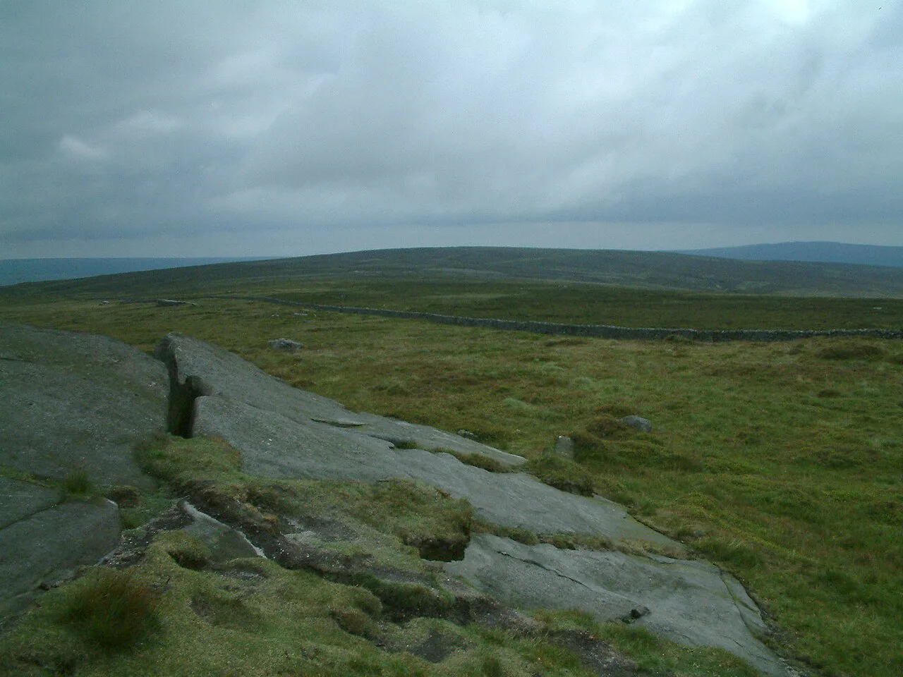
Spring and early summer bring the strongest flow at Janet's Foss and fresh growth in the grikes, while autumn gives clearer light for the view back to the cove. The limestone pavement is fully exposed, so wind and driving rain hit hard on the top even when the village feels sheltered; carry a shell layer regardless of the forecast. In winter, the shaded woodland path and the stone steps stay wet or icy longer than the open fields.
Afternoon thunderstorms are the main summer hazard on the plateau, where the pavement offers no shelter and the cliff edge is unfenced. Start in the morning, and if storms build while you are on the top, take the nearest gate off the pavement and descend rather than waiting it out on the rock. Snow on the upper fields is uncommon but makes the step out of the gorge considerably more serious.
Facilities and practicalities in Malham
The car park at Malham has toilets, and the village has three pubs, a restaurant and a café within a short walk of the start. There are no facilities between the village and the cove, so fill water bottles before leaving. Malham is the nearest place to stay; Settle and Skipton are the larger towns for supplies.
The walk is free to do and needs no booking or permit, though the car park is pay-and-display and the charge is posted at the machine. The Yorkshire Dales National Park Centre is the place to pick up the Malham Landscape Trail leaflet and to ask about path conditions after heavy rain. Dogs are common on the route, but the National Trust fields and the bird-sensitive cliff top call for a lead.
Shorter variants and nearby Yorkshire Dales walks
The easiest shorter option is an out-and-back to Janet's Foss alone, roughly 3.2 km (2 miles) in total on easy woodland paths. A second option skips the gorge and climbs directly from the village to the cove and pavement, giving the cliff and the limestone without the worst of the steps. Both variants leave the village from the same car park, so you can decide on the morning of the walk.
Walkers with more time in the Dales can pair this circuit with the yorkshire three peaks, which starts from Horton in Ribblesdale and crosses the national park's three summits, or with the waterfalls and riverside paths of the ingleton waterfalls trail, outside this destination but within easy reach. If Malham Cove walk is already on your list, the cove visit here doubles as the shorter version of that route.
Plan Your Visit
Build the day around an early start at the National Park Centre car park, walk to Janet's Foss and Gordale Scar first, and climb the step to the pavement while you are fresh. Allow two and a half to three hours for the full 7.9 km (4.9 miles) circuit once stops and the detour to the base of the cove are included.
Finish with a look back at the cove from the gravel path, where the 80 m (260 ft) height becomes obvious, then return past the Buck Inn to the village. If a family member or a tired leg turns the full loop into too much, the out-and-back to the waterfall and the cove-only route are both available from the same trailhead.
Frequently Asked Questions
How long is the Janet's Foss walk?
The full circuit from Malham, taking in Janet's Foss, Gordale Scar and Malham Cove, is 7.9 km (4.9 miles) with 225 m (738 ft) of ascent and an estimated walking time of about 2 hours 15 minutes. A shorter out-and-back to the waterfall alone is roughly 3.2 km (2 miles).
Where does the Janet's Foss walk start?
It starts in Malham village at the pay-and-display car park beside the Yorkshire Dales National Park Centre. From there, walk along the road past the church, cross Malham Beck by Malham Smithy and follow the gravel Pennine Way path signed for Janet's Foss.
Can you swim in Janet's Foss?
The waterfall feeds a shallow pool at the base of the falls, but no park authority guidance confirms swimming there. The rocks around the lip stay wet and slippery, and the pool is small; treat it as a viewing stop and use the main path for secure footing.
Do you have to climb at Gordale Scar to reach Malham Cove?
No technical climbing is required on the standard route. The connection from Gordale Scar to the pavement uses a short, steep limestone step and a stepped descent later, so reversing the direction puts that step uphill with fresh legs. Hikers who want to avoid the step entirely can walk directly from Malham to the cove.
How hard is the Malham circuit?
It is rated moderate: 7.9 km (4.9 miles) with 225 m (738 ft) of ascent on good paths. The two sharp sections are the step out of Gordale Scar and the descent from the limestone pavement, and the pavement itself is unfenced on the cliff side, so keep to the right where walking is easier.
Are there toilets and pubs in Malham?
Yes. The car park at Malham has toilets, and the village has three pubs, a restaurant and a café, all within a short walk of the start. No facilities are available between the village and the cove.
What is the best time of year for this walk?
Late spring and early autumn give the best mix of flow at the waterfall, dry footing and clear views from the pavement. The plateau is fully exposed to wind and storms, so start in the morning in summer and carry a shell layer on any day.
Do I need to book or pay to walk the route?
No booking or permit is needed for the footpaths. The car park in Malham is pay-and-display, with the charge shown at the machine; the National Park Centre has current parking details.
Sources
Trail notes for your next trip
Optional updates when we add or revise hiking guides.
You might also like
Continue reading
More guides you'll find useful