Reeth Walks: Swaledale Routes from the Village Green
Plan walks from Reeth in Swaledale, from riverside paths to moorland tracks. Route layouts, landmarks, walking times and the best months to go.
On this page
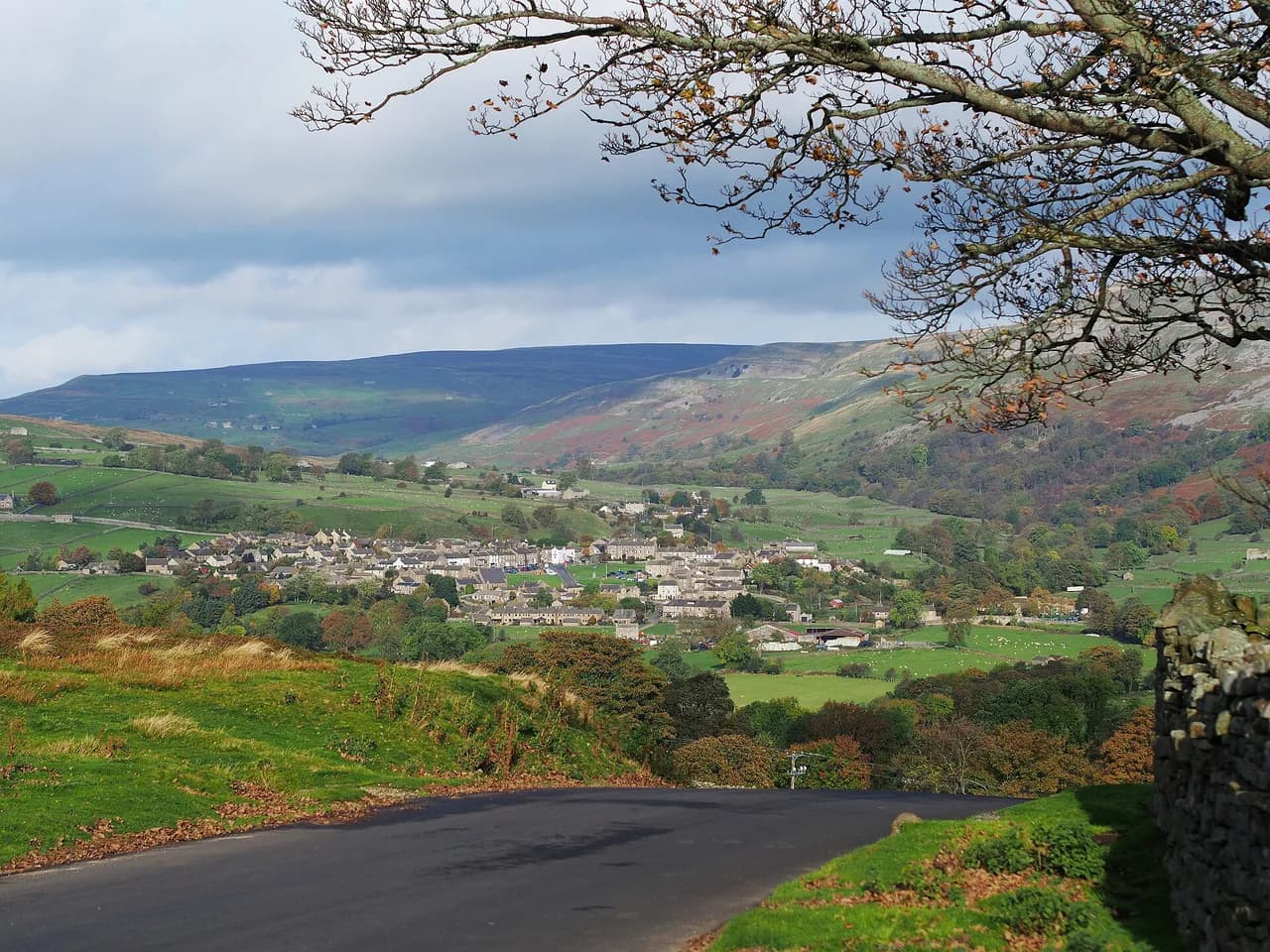
Reeth is the natural base for walking upper Swaledale: a village green ringed by cafés and pubs, with the River Swale running close by and moorland rising on both sides of the valley. The routes below range from flat riverbank strolls to short, steep climbs onto old lead mining ground, so you can match a walk to your fitness and the daylight left in the day.
Most of these walks can be started on foot from the village, which makes Reeth useful for a car-free day or an evening leg-stretch. The higher tracks are exposed to wind and rain, while the riverside paths flood after heavy rain, so the choice between valley floor and moor edge often comes down to the weather forecast.
Where walks start in Reeth: village green, parking and road access
The village green is the obvious meeting point, and several routes described here can be joined from the surrounding lanes without moving the car. For trails that start further up the valley, the roadside verges near Surrender Bridge and the triangle of lanes at Fremington give you small parking areas within a short drive of Reeth.
Reeth sits on the B6270 between Richmond and the head of Swaledale, with Gunnerside, Low Row and Muker reached by continuing west along the same road. If you plan to finish at a different village, arrange a lift or a second car rather than relying on a fixed bus timetable, and note that road access to the upper dale narrows as you climb.
Riverside walks along the Swale and the Swale Trail
The Swale Trail is the easiest way to get a long, gentle walk without gaining height, following the river corridor through the dale on a shared-use path. The national park describes it as a 20 km (12 mile) route, and it is popular with weekend cyclists, so walkers should expect to share the track and step aside on blind bends.
The path doubles as a straightforward out-and-back option from Reeth: walk west until your legs or daylight say stop, then turn around. Because it stays low, it is the route to choose when rain has made the moorland tracks slippery, but river levels can rise fast after heavy rain, so stay on the trail rather than cutting down to the water.
Isles Bridge to Gunnerside: riverbank and stepping stones
This riverbank walk links Isles Bridge with Gunnerside and works in either direction, following the Swale past a beach-like gravel stretch and a short diversion onto the road before dropping back to the water. Expect about 1.5 hours of easy walking, with stepping stones at Gunnerside Bridge and a stile into the fields on the return.
After rain the gravel beach can disappear under fast water, and the route notes advise using the stepping stones or turning back if the fields are flooded. The riverbank here is good for spotting kingfishers, so walk quietly and keep dogs close in the wooded sections.
From Gunnerside Bridge you can add five minutes into the village for a pub stop, or extend the day by continuing on the Swale Trail. The walk is short enough for an afternoon, but the field crossings mean muddy boots in winter and early spring.
Surrender Bridge and the old lead mining tracks
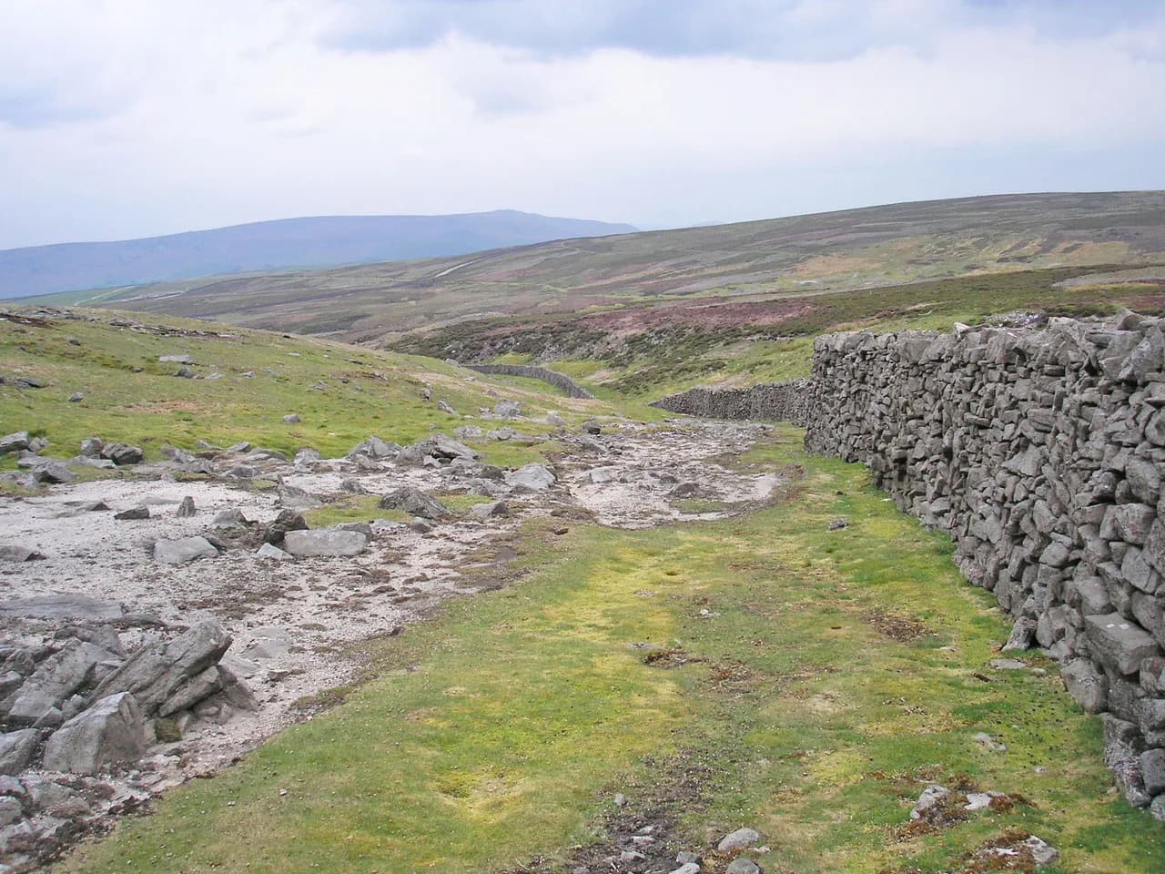
The Surrender Bridge circuit takes about 1.5 to 2 hours and follows an elevated track above a stream past old lead mine workings. From the bridge, cross over and take the rising track on the right, bearing right at the forks, then climb over the hilltop before dropping back down to the road and the bridge.
The top of this route is bleak and exposed to wind, so carry a windproof layer even on a mild day, and expect a 360-degree view across the moor as your reward. Parking is limited to roughly ten cars on the roadside verge, so an early start helps on weekends.
If you start from Reeth on foot, add about 40 minutes each way, or combine the moor with the riverside paths for a longer day. The track is rough in places, so boots with grip are worth the weight.
Fremington to Marrick via Marrick Priory and Nuns Steps
This one-hour-twenty-minute circuit links Fremington with Marrick via the Hard Stiles road, Marrick Priory and a forest climb up the Nuns Steps. Park in the triangle of lanes at Fremington, then walk up to High Fremington and down to the priory before the steady pull through the trees.
Beyond the forest the route climbs through gates onto a road into Marrick, then returns past a farm and across fields to Fremington. It can be blustery on the top, so save this one for a settled day, and expect wet grass underfoot after rain.
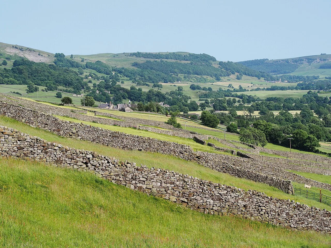
Higher ground: Reeth Moor and the moorland edge
Above Reeth the land opens into moorland with tracks linking the villages and the old mining grounds, giving you longer, quieter days than the valley floor. The Ordnance Survey grid references given for the local routes are the most reliable way to plan a circuit on the moor, and the national park's Reeth pages point to nearby features such as the waterfalls around Keld for a longer day out.
Moorland tracks stay walkable when the riverbank is flooded, but they offer little shelter and navigation gets harder in cloud. Take a compass and a paper map as backup, and turn back if the cloud drops onto the tops.
Richmond to Reeth on the Coast to Coast path
The section of Alfred Wainwright's Coast to Coast route between Richmond and Reeth is a linear day walk through the national park, finishing on the edge of the village. It suits walkers who want a point-to-point day with a pub and a bed at the end, and it links neatly with the village-based routes if you stay in Reeth.
Sort your transport before you set off, since the walk ends a long way from the start. Reeth and Richmond are linked by road along the dale, so a lift or two cars makes the logistics simple.
Distance, ascent and time for each route
None of the local routes here is long: Blades takes about 30 minutes from Low Row, Isles Bridge to Gunnerside about 1.5 hours, the Surrender Bridge circuit 1.5 to 2 hours, the Isles Bridge circular around 1.45 hours and Fremington to Marrick about 1 hour 20 minutes. Ascent is modest on all of them, with the odd steeper pull up to Blades and over the moor above Surrender Bridge, so most fit comfortably into half a day.
For a full day, combine two or three of the shorter routes, or walk the Swale Trail out and back. None of these options demands a big climb, which makes them well suited to mixed-ability groups and shorter autumn days.
When to go: seasons, river levels and exposed ground
Late spring and early summer are the most reliable months, with longer days and drier ground underfoot. The moorland routes above the dale are exposed in wind and rain at any time of year, so pack a waterproof shell and a warm layer even in July. If you want to compare conditions across regions, hiking in the Lake District faces much the same changeable weather on exposed fell tops.
After heavy rain the riverside paths flood and the stepping stones become unusable, so switch to the higher tracks or the Swale Trail. In winter, short daylight and wet ground make the shorter routes the sensible choice.
What to wear and carry on Swaledale paths
Waterproof boots with grip are the baseline for the field crossings and moorland tracks, and gaiters keep the worst of the mud off in winter. Carry a waterproof jacket, a warm mid-layer, water and a map, and add a headtorch for autumn afternoons.
A paper map and compass matter on the moorland edge, where paths braid through old mine workings and cloud can arrive quickly. For the riverside walks, trekking poles help on the stepping stones and muddy banks.
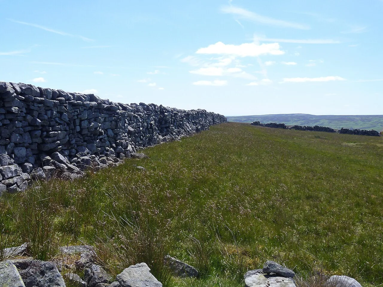
Pubs, villages and facilities on the routes
Reeth's village green has cafés and pubs for before or after a walk, and Gunnerside, Low Row and Fremington give you further options on the longer routes. The Punch Bowl near Low Row sits close to the Blades climb and the road up towards Arkengarthdale, making it a natural halfway stop for the Surrender Bridge circuit.
Facilities thin out quickly once you leave the villages, so buy water and snacks in Reeth before setting off. The Charles Bathurst at the end of the ford walk is a further stop if you extend that route.
Walks with dogs on Swaledale paths
All of these routes work with dogs, though the field crossings mean leads are needed around livestock and the stepping stones need care with older or nervous dogs. The gravel beach near Isles Bridge is a popular spot for a swim, but fast water after rain makes it unsafe.
The Swale Trail's weekend cyclist traffic is the main thing to watch with a dog on the shared path. Keep dogs close on blind bends and in the wooded stretch through Feetham Wood.
Where to base yourself for these walks
Reeth itself is the most convenient base, with the village green, pubs and shops within a few minutes of the riverside paths. Low Row and Gunnerside suit walkers who want to start closer to the riverbank route and the Surrender Bridge tracks, while Fremington puts you on the doorstep of the Marrick circuit.
A base in the village keeps the car parked and lets you choose a route by weather rather than by drive time. From there, the wider dale opens up for longer days if you want more variety.
Plan Your Reeth Walks
Start with a riverside route to get your bearings, then add a moorland circuit once you know how the weather is behaving. The village green makes a simple start and finish point, and the short drive to Surrender Bridge or Fremington gives you options when the river is high.
For other days out in the region, the waterfalls and limestone country further south, such as the ingleton waterfalls trail, make a good contrast to Swaledale.
Frequently Asked Questions
What are the best walks from Reeth?
The riverside walk from Isles Bridge to Gunnerside is the easiest and most scenic, at about 1.5 hours. The Surrender Bridge circuit above the old lead mines takes 1.5 to 2 hours and gives you moorland views, while the Fremington to Marrick circuit via Marrick Priory and Nuns Steps runs about 1 hour 20 minutes.
How long is the walk from Reeth along the River Swale?
The Swale Trail follows the river corridor for 20 km (12 miles) in total, so you can walk as far as you like and turn back. The shorter Isles Bridge to Gunnerside stretch takes about 1.5 hours one way.
Can you walk from Reeth to Gunnerside?
Yes, the riverbank route from Isles Bridge to Gunnerside takes about 1.5 hours and works in either direction. It includes a short stretch on the road, stepping stones at Gunnerside Bridge, and field crossings that can flood after heavy rain.
Are Reeth walks suitable for dogs?
Most routes around Reeth suit dogs, but leads are needed around livestock and on the shared Swale Trail where cyclists pass on weekends. The gravel beach at Isles Bridge is a popular swim spot, though fast water after rain makes it unsafe.
How far is Reeth from Richmond in North Yorkshire?
Reeth sits on the B6270 west of Richmond along Swaledale, and the two are linked by the Coast to Coast path as a linear day walk. Arrange a lift or a second car if you plan to walk one way between them.
What is the Swale Trail and can you walk it?
The Swale Trail is a 20 km (12 mile) shared-use route through the dale that walkers can follow from Reeth. It is the best low-level option when rain has made the higher tracks slippery, but expect cyclists on weekends.
When is the best time of year to walk around Reeth?
Late spring and early summer give the longest days and driest ground. The moorland tracks are exposed in wind and rain at any time of year, and the riverside paths flood after heavy rain, so check the forecast before choosing your route.
Sources
Trail notes for your next trip
Optional updates when we add or revise hiking guides.
You might also like
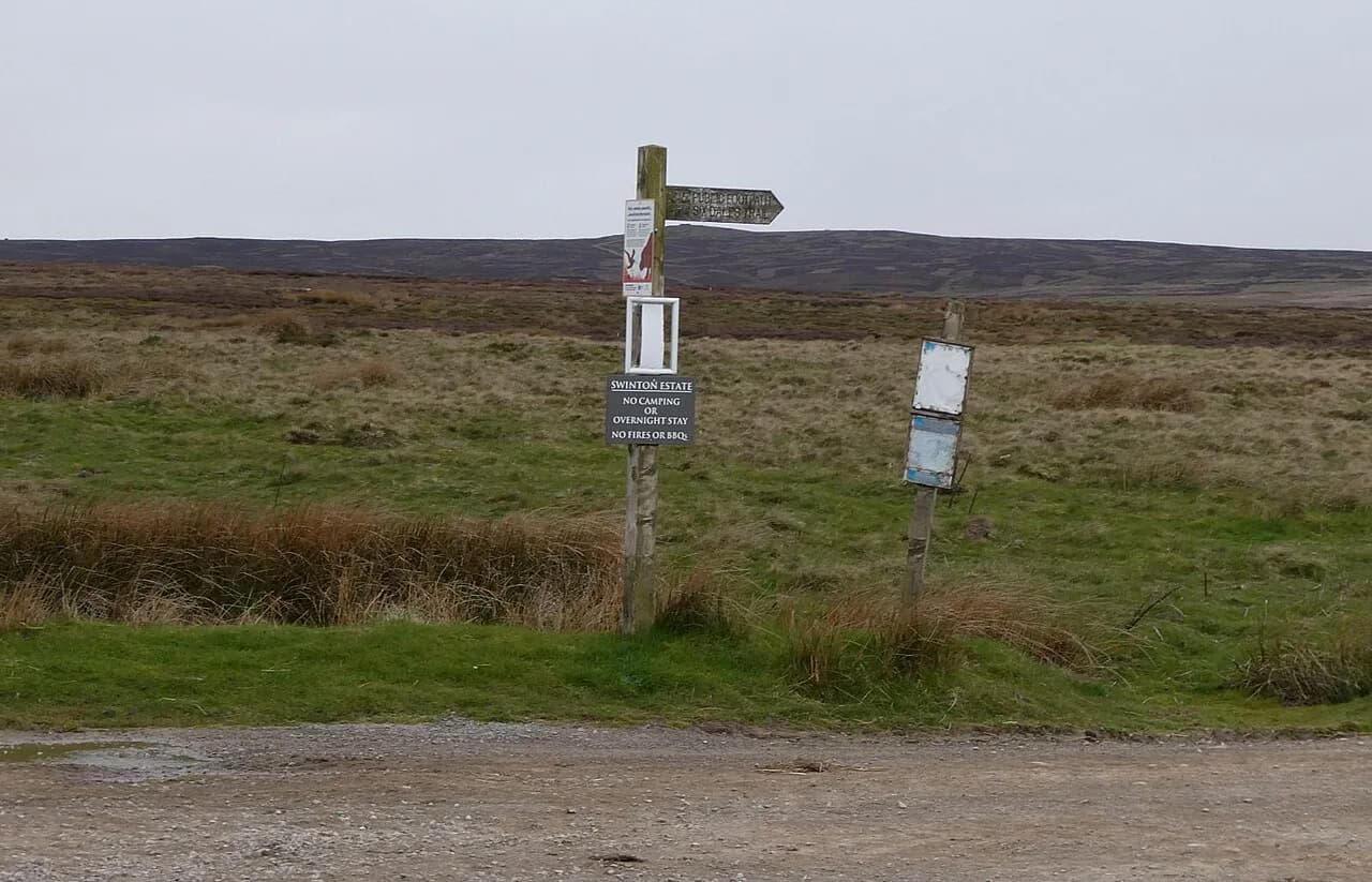
Continue reading
More guides you'll find useful