Pen-y-Ghent Walk: Route, Distance and Trailhead Guide
Plan the Pen-y-ghent walk from Horton in Ribblesdale: distance, ascent, walking time, the summit rock step, the Plover Hill extension and Hull Pot.
On this page
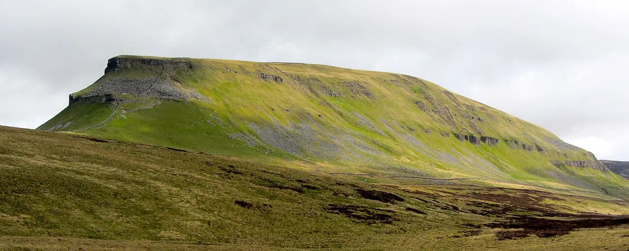
Pen-y-ghent gives you a big Dales day without a big approach: the whale-backed summit rises straight out of Ribblesdale, and Horton in Ribblesdale sits on its flank with a railway station in the village. The classic circuit suits fit day hikers who want one steep climb, a short hands-on rock step and a long, quiet return. It also works as a summit-only outing for anyone watching the clock.
Where the Pen-y-ghent walk starts: Horton in Ribblesdale
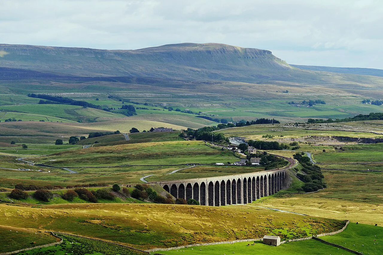
Horton in Ribblesdale is the base for almost every route on the mountain, and the village station puts the trailhead within a short walk of arriving trains. The station sits on the Leeds–Settle–Carlisle line, so the hill is reachable without a car. From the platform, lanes lead through the village toward the Brackenbottom and Three Peaks approaches.
By car, the village is the practical base, with parking around the station and village rather than at the foot of the path. Check the current charges and any time limits where you leave the car, then walk in. Starting from the village adds a short stretch of lane before the ground steepens.
Getting to the trailhead by train and bus
The Saturday Walkers Club route notes describe Horton in Ribblesdale station on the Leeds–Settle–Carlisle line, with a journey time of roughly 90 minutes from Carlisle and 70 minutes from Leeds. It also notes a local bus line from Horton toward Clitheroe that stops near the station, useful if you are staying in Settle or Giggleswick. Timetables change by season, so check the current train and bus times before you commit to a late start.
The classic ascent via Brackenbottom and Gavel Rigg
The most direct line leaves Horton on the lane toward Brackenbottom, following the beck past the farm before turning uphill beside a drystone wall. The Walking Englishman describes this as a relentless 450 m (1,476 ft) climb over three kilometres (1.9 mi), with Brackenbottom Scar marking roughly halfway. It is a steady grind rather than a technical climb, and the view south to Fountains Fell opens up as you gain height.
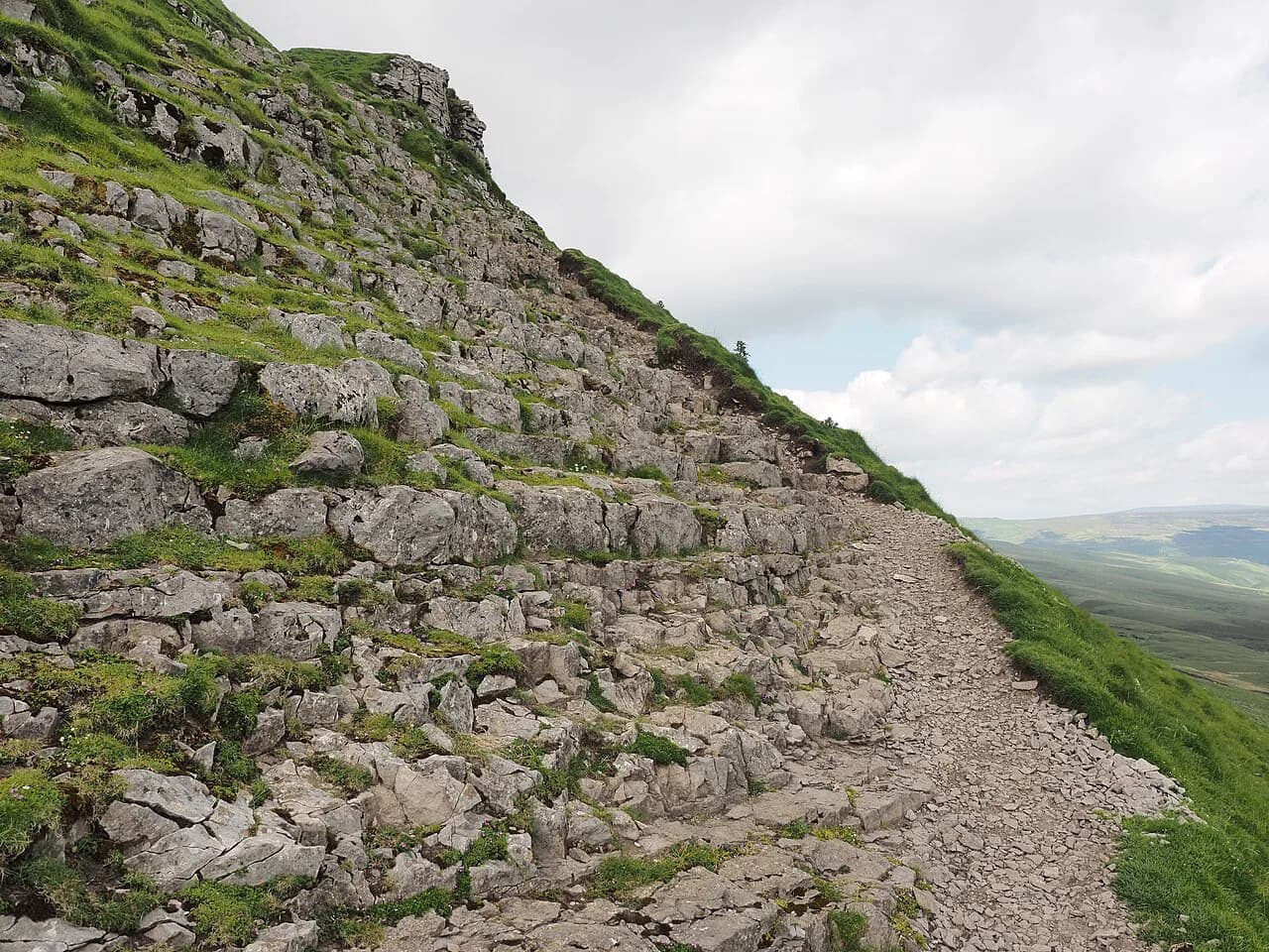
Higher up, the path meets the Pennine Way at Gavel Rigg, where a stone-flagged section leads to the junction. From there the route turns straight up the south face on a cobbled and stepped path. This is where the ascent becomes a staircase and the summit finally looks close.
Distance, ascent and walking time
The full circuit over the summit, Plover Hill, Foxup Moor and Hull Pot comes in at 17.2 km (10.7 mi) with 559 m (1,834 ft) of cumulative ascent and descent, rated 5 out of 10 with about 4.5 hours of walking time. That figure assumes steady progress and a reasonable weather day. Add time for the rock step, the summit and a stop at Hull Pot.
The Walking Englishman gives a similar circuit at 8.9 miles (14.3 km) with 565 m (1,854 ft) of climbing and an estimated 4 to 5 hours, graded hard. The gap between the two figures shows how much route choice and shortcuts alter the day. Choose your version before you set out so you know which junction matters.
The summit: trig point, plateau and the short rock step
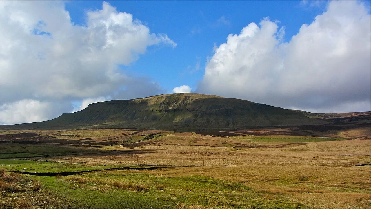
Pen-y-ghent stands at 694 m (2,277 ft), and its name is often linked to early Welsh for head of the winds, which fits a summit that catches whatever is blowing. The final pull reaches a narrow plateau with a trig point and stone storm shelters. On a clear day the plateau gives wide views across the Dales, and the surrounding fells make up some of the best walks in yorkshire dales country.
Just below the top, around the 600 m (1,969 ft) mark, the path becomes a steep rock step where hands are useful for a short section. The Walking Englishman describes it as the easiest of scrambles, with several possible lines. In wind or wet rock, take it slowly, keep three points of contact and stay off the exposed edge.
Extending over Plover Hill to Foxup Moor
From the summit, a path follows a drystone wall north over a shallow dip to Plover Hill. The Walking Englishman is blunt about the ground: it is a wet walk in summer and a quagmire otherwise, so gaiters earn their place. A wall runs between the two tops, and a gate on the left side lets you drop slightly out of westerly wind before the next crossing point.
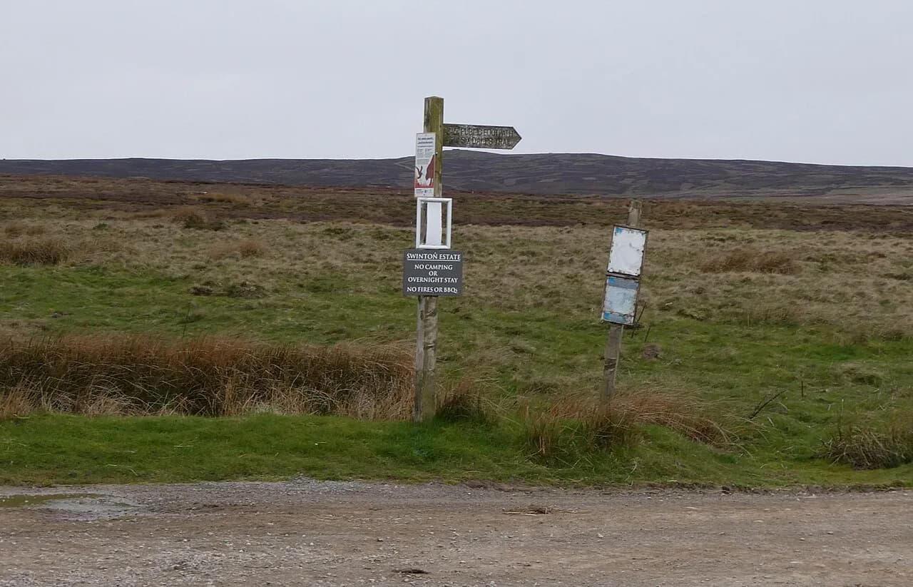
Beyond Plover Hill the route descends a steep, stone-pitched path to wild Foxup Moor, where an engineered path and bridleway carry you around the hill flank. In mist, this is the section to navigate carefully, because the ground is featureless and the path easy to lose. Carry a paper map or an offline map on your phone.
Hull Pot and the return along Horton Scar Lane
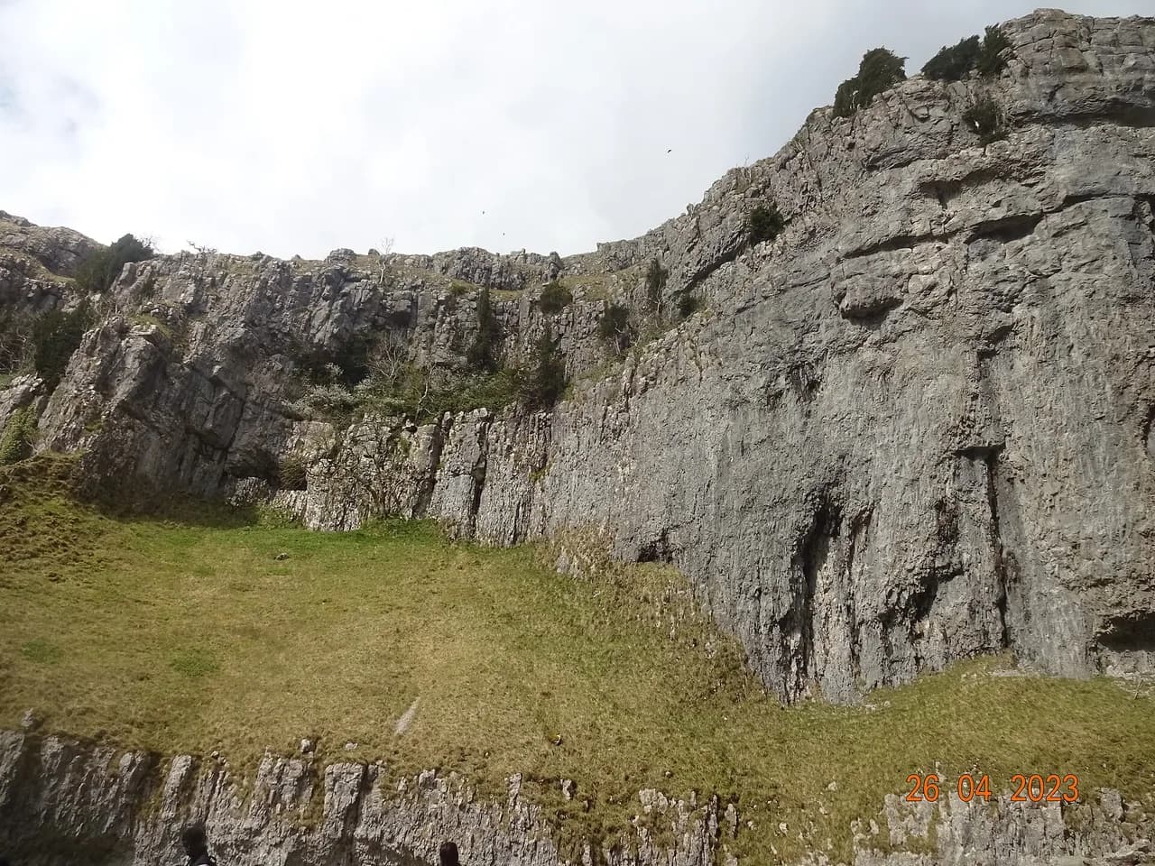
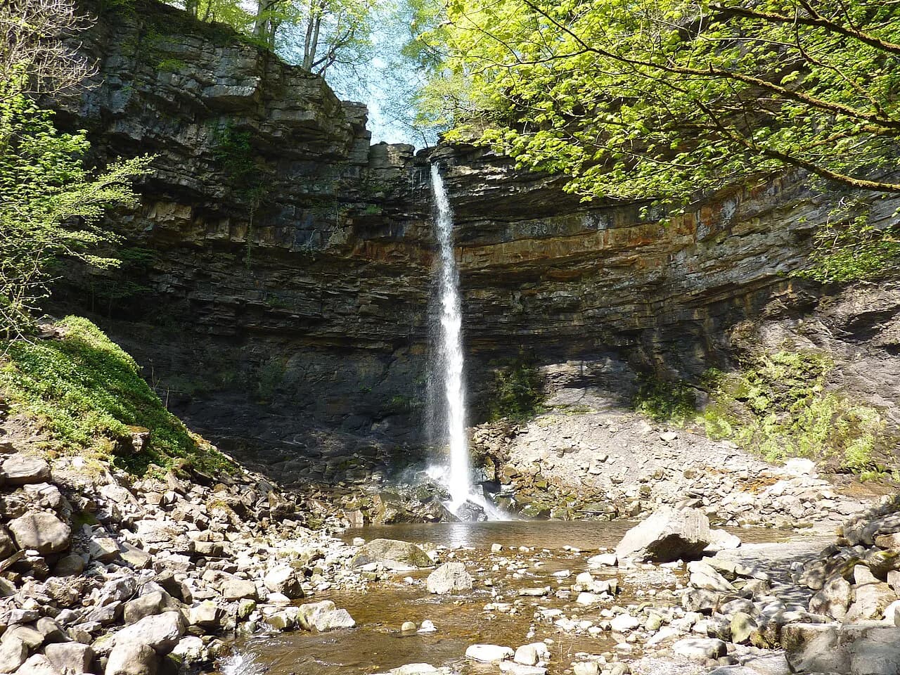
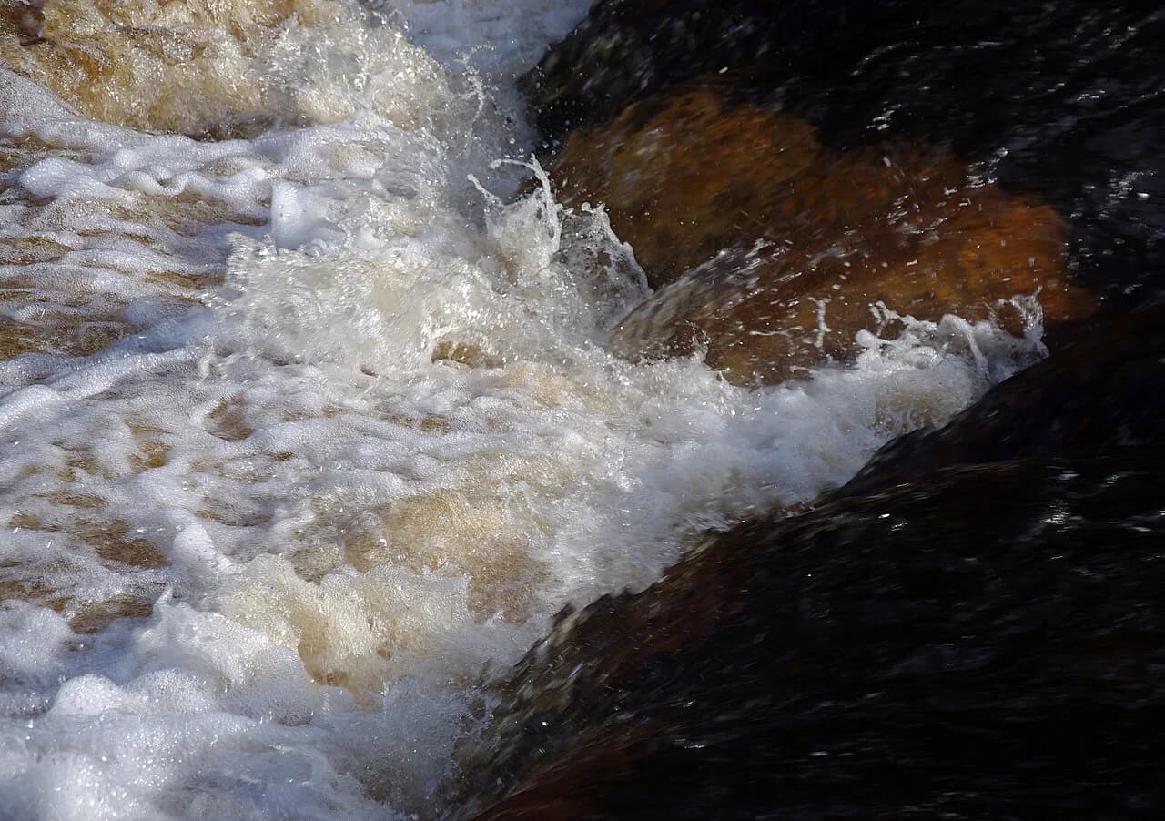
The return crosses Horton Moor to Hull Pot, a collapsed limestone chasm roughly 90 m (295 ft) across that drops 18 m (59 ft). When Hull Pot Beck is running it pours over the lip, and after dry spells only a trickle appears. The hole is a fine lunch stop before the last stretch.
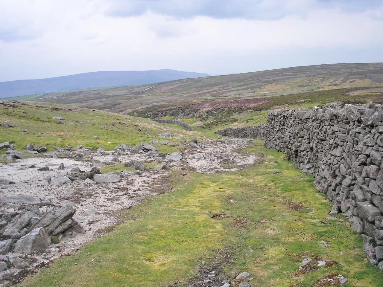
From the pot, a gravel track runs past Horton Scar and drops to the wall-lined lane into Horton. The lane gives a last wide view back across Ribblesdale to the Forest of Bowland and Pendle Hill. It is an easy finish on tired legs, with the village and station ahead.
Shorter options and the busy Three Peaks route
If you want the summit without the Plover Hill bog, the Saturday Walkers Club lists a morning shortcut on the engineered Three Peaks path that cuts about 2.1 km (1.3 mi) and 25 m (82 ft) of ascent. An afternoon shortcut from the summit skips Plover Hill, Foxup Moor and Hull Pot, saving about 4.4 km (2.7 mi) and 70 m (230 ft). Combining the summit with Hull Pot via that shortcut saves roughly 3.7 km (2.3 mi) and 60 m (197 ft).
The Three Peaks path is the busiest line on the mountain, but it is well engineered and easy to follow. It also means you share the summit with walkers moving between the three peaks. For a quieter day, choose the Brackenbottom approach and the Plover Hill return. If you are comparing upland days across northern England, hiking in Peak District offers another set of well-marked routes to weigh against the Dales.
When to go: seasons, bogs and weather on the summit
Late spring through early autumn gives the most comfortable conditions, when the paths are drier and daylight is long enough for the full circuit. The Plover Hill crossing is the deciding factor: after rain it is genuinely wet, and summer can be as boggy as spring. Wear boots you trust to keep water out.
Above the plateau you are exposed to wind and fast-moving cloud, and the summit can sit in mist while the valley below is sunny. Carry a shell and a warm layer even on a fine morning. Early starts help you get the exposed ground finished before an afternoon turn in the weather.
Huts, cafés and facilities in Horton in Ribblesdale
There are no mountain huts on the Pen-y-ghent circuit. You start and finish in the village, so all food and shelter happen at the beginning and end of the day. The Saturday Walkers Club lists the Crown Hotel on Chapel Lane and the Golden Lion on the Hawes Road among the village options, and there is a café bar at the station. Check current opening before relying on a meal.
On the hill itself there is no reliable water source on the summit route, so carry everything you need. On the Plover Hill extension, the hamlet of Halton Gill has an honesty-box tearoom that is worth the short detour if it is open. Treat any trail-side refreshment as a bonus.
What to carry and how to handle the ground underfoot
Bring boots with grip for the stepped south face and ankle support for the boggy crossing to Plover Hill, plus gaiters when the ground is wet. Pack a waterproof shell, warm layer, hat and gloves, water and food, and a headlamp for short winter days. A paper map or offline map should cover the whole massif, not just the summit.
The rock step needs hands free, so stow poles before the steepest part and put them away again before the scramble. On the return from Hull Pot, keep back from the edge of the chasm, particularly when the rock is wet. Give livestock and grouse on the moor plenty of room.
Walking the Pen-y-ghent Circuit with a Dog
If you plan to walk the Pen-y-ghent circuit with a dog, the first practical concern is the rock step near the summit. The route from Brackenbottom climbs to Gavel Rigg, then up the south face; at around the 600-metre mark the path becomes a steep rock step where hands are needed as well as feet. This is described as the easiest of scrambles, but dogs may need a lift or a short detour. From the summit, the onward path to Plover Hill is often wet and boggy — one account calls it a quagmire any other time, with knee-deep squelch possible. For dogs, keeping to the wall edge or using a lead may help; gaiters were worn by the human walker on that stretch.
Facilities along the way are limited. In Horton in Ribblesdale, the Station Café Bar is at the station, and the Crown Hotel and Golden Lion Hotel both serve food; the Crown is 400m from the station and the Lion 850m. These are useful for a drink or meal, but the sources do not mention dog-specific policies, so plan accordingly. On the extended route via Foxup, Katie’s Cuppa’s is a do-it-yourself honesty box tearoom (with toilet) in Halton Gill — a potential stop, though again no dog rules are stated.
For a shorter day with a dog, the morning shortcut follows the Three Peaks Route more directly up Pen-y-ghent, cutting 2.1 km and 25m ascent. The afternoon shortcut descends the same busy route, cutting 4.4 km and 70m ascent by skipping Plover Hill, Foxup Moor and Hull Pot. A variation that includes Hull Pot cuts 3.7 km and 60m. These options avoid the wettest ground on Plover Hill. The full circular from Horton is 17.2 km (10.7 mi) with 559m of ascent, noted as tough with 4½ hours walking time; with a dog, the shorter options may be sensible.
Plan Your Pen-y-Ghent Day
The Pen-y-ghent walk rewards a simple plan: arrive in Horton in Ribblesdale by train or car, take the Brackenbottom climb, and decide at the summit whether the Plover Hill extension suits your legs and the ground. Choose the shorter Three Peaks shortcut if the bogs are deep or the cloud is down, and finish with a look into Hull Pot on the way back. With the full circuit at roughly 17 km (10.7 mi) and 559 m (1,834 ft) of ascent, it is a solid but manageable Dales day for a prepared hiker. If you want a waterfall-and-woodland day between hill days, the ingleton waterfalls trail makes an easier contrast near Ribblehead.
Frequently Asked Questions
How long is the Pen-y-ghent walk from Horton in Ribblesdale?
The full circuit over the summit, Plover Hill and Hull Pot covers about 17 km (10.7 mi) with roughly 560 m (1,840 ft) of ascent, which most walkers complete in four to five hours of walking plus stops. A summit-only route is noticeably shorter, and the shortcut options shave a few kilometres off the full round.
Can you walk Pen-y-ghent by train?
Yes. Horton in Ribblesdale station sits on the Leeds–Settle–Carlisle line, and the village centre and the start of the Brackenbottom path are a short walk from the platform. Look up the current timetable on National Rail before you travel, since services on this line are not frequent.
Is the Pen-y-ghent climb difficult?
The climb is a long, steady ascent with one short rock step near the top where you may want your hands free; it is easy scrambling rather than a technical climb. The bigger challenge is the ground over Plover Hill, which is wet and boggy for much of the year, and the exposure to wind and cloud on the plateau.
What else can you see on the Pen-y-ghent walk besides the summit?
The classic return passes Hull Pot, a large collapsed limestone chasm on Horton Moor, and crosses the remote moorland below Plover Hill. The descent along Horton Scar Lane gives wide views back across Ribblesdale. In clear weather you can pick out Fountains Fell and the hills of the Forest of Bowland.
Sources
Trail notes for your next trip
Optional updates when we add or revise hiking guides.
You might also like
Continue reading
More guides you'll find useful