Malham Walk: Gordale Scar and Malham Cove Circular Route
Plan the classic Malham walk through Janet's Foss, Gordale Scar, Malham Tarn and Malham Cove, with distance, ascent, route choices and start details.
On this page
Few day walks in England pack this much variety into one loop: a wooded waterfall ravine, a limestone gorge with a waterfall tumbling through it, a lake basin, a dry valley and a 70 m (230 ft) cliff topped with cracked limestone pavement. The Malham circuit in the Yorkshire Dales National Park suits fit walkers who want a full day out and are comfortable on rough, steep ground for short sections.
It also suits planners, because the route has genuine choices rather than one fixed line. You decide at Gordale Scar whether to scramble beside the waterfall or take the easier lane to Malham Tarn, and at Malham Cove whether to climb the stone steps onto the pavement or stay on the valley floor. Those two decisions set the length, the effort and the exposure of your day.
Why the Malham circuit suits walkers who want variety in one day
The circuit works because each section changes character. Janet's Foss is a short, leafy introduction through a National Trust woodland ravine; Gordale Scar is a dramatic rock corridor with a beck falling over tufa; Malham Tarn sits in a shallow basin on a geological fault line; and the Watlowes is a dry limestone valley that funnels you toward the cove.
That range makes the walk a good fit for confident hikers with a full day, and a poor fit for anyone expecting a flat valley stroll. The climbing is concentrated in short, sharp bursts rather than long grinding ascents, and the roughest ground comes at the two headline features: the scramble at Gordale Scar and the clints and grikes of the limestone pavement.
Malham is one of the busiest spots in the Dales, and weekends and bank holidays bring heavy pressure on the village and its parking. Starting early is the simplest way to enjoy the ravine and the cove before the paths fill up.
Where the walk starts: Malham village car park and village facilities
The natural start is the pay-and-display car park in Malham village, roughly at grid reference SD 899 626 on Ordnance Survey Explorer OL2. A small amount of roadside parking exists, but park responsibly because the village gets crowded; the car park also has toilets, and cafés and pubs sit a few minutes away in the village center.
From the car park, walk left along the road toward the village center, passing the Methodist chapel, and turn right over the footbridge just short of the Buck Inn. That puts you on a wide gravel path heading away from Malham, with Malham Beck initially alongside you.
There is no lift or cable car here; every metre of the route is gained on foot from the village. The nearest larger towns for supplies or accommodation are Settle and Skipton, both a short drive away.
Distance, ascent and walking time for the full circuit
The full circuit via Gordale Scar and Malham Cove measures 7.6 miles (12.1 km) with 360 m (1,180 ft) of climbing, and the route description estimates about 2 hours 55 minutes of walking. That timing assumes steady progress and no long stops; most hikers should budget longer for photos, lunch and the tarn detour.
The waymarked Malham Landscape Trail is the shorter alternative: a 4.5-mile (7.2 km) circular taking about 3 hours, linking Janet's Foss, Gordale Scar, Malham Cove and the village in a compact figure. It skips the tarn and most of the dry valley, so it suits half-day walkers or anyone wanting a gentler introduction to the landscape.
A third option is the out-and-back cove walk of about 2.5 miles including the limestone pavement, or 1.5 to 2 miles if you stay below the cliff. That version suits families, pushchair users and anyone short on time.
Route section 1: Malham village to Janet's Foss through the wooded ravine
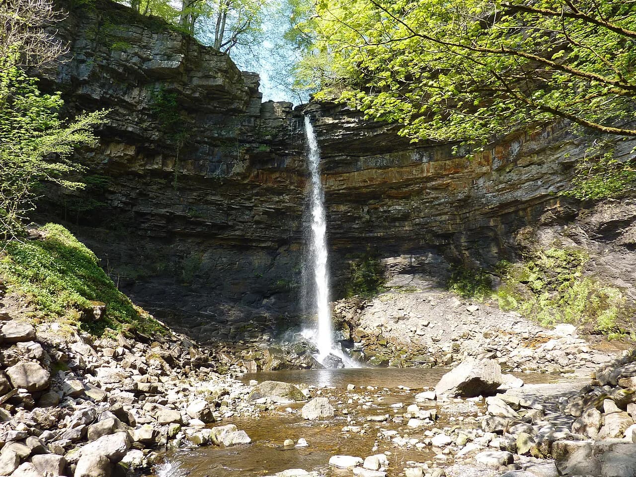
Follow the waymarked path from the footbridge through a series of kissing gates, keeping Malham Beck to your left and ignoring the first footbridge to the right. The path leads into a wooded ravine where wild garlic carpets the ground in spring, and it climbs gently to Janet's Foss, a tufa-screen waterfall with a cave behind it.
From the fall, take the path climbing away to the left of the waterfall, exit through a kissing gate and turn right onto a lane. Where the lane bends right, follow the sign for Gordale Scar along a broad path that passes the Gordale Scar campsite before the gorge reveals itself.
Route section 2: the lane to Gordale Scar and the waterfall amphitheatre
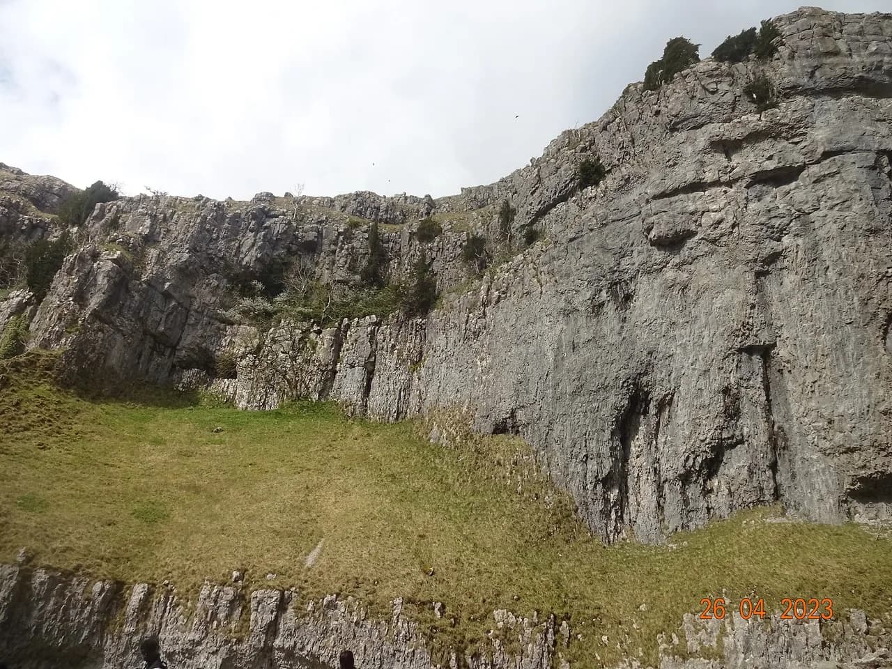
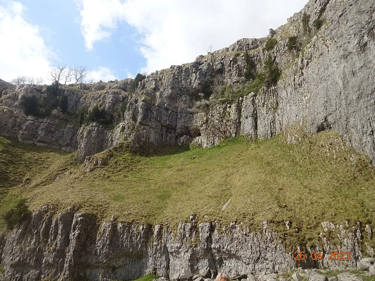
Gordale Scar is a narrow canyon with sheer rock walls hundreds of feet high, and Gordale Beck drops through it in a final waterfall over tufa. The approach path curves around the corner and then the amphitheatre opens up in front of you, with the waterfall at its head.
This is the decision point of the day. The direct line climbs beside the waterfall on a sketchy path to its left, with steep scrambling on rock that is often wet; the route description rates it difficult in places and suitable only for fit, experienced walkers. Above the first scramble the going eases past a second waterfall and up man-made steps before the ground turns grassy.
The Gordale Scar scramble and the easier alternative lane to Malham Tarn
If the rock is wet, the beck is high or the scrambling is beyond your group, take the alternative route instead of forcing the gorge. From Gordale Scar, return to the lane, turn back right, cross the bridge and go right through a gate following the Malham Cove sign, then follow the wall uphill over a ladder stile and through gates until you meet a lane.
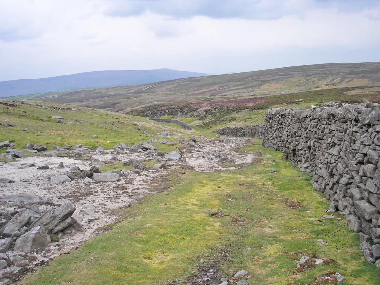
Turn right onto the lane and climb for about one and a quarter miles past old settlements and field systems; just after a cattle grid, the lane bears left and you turn right off it to follow a track beside the wall. Both the scramble and the lane rejoin at the same point, so nobody has to commit to the harder option to complete the circuit.
Route section 3: Street Gate, Great Close Plantation and Malham Tarn
The track runs to Street Gate, a junction of two ancient trans-Pennine routes: the Arncliffe-to-Malham line you are following and an east-west track from Wharfedale to Ribblesdale. Keep by the wall, then follow the track as it pulls away and descends toward Great Close Plantation, where Malham Tarn appears on your left.
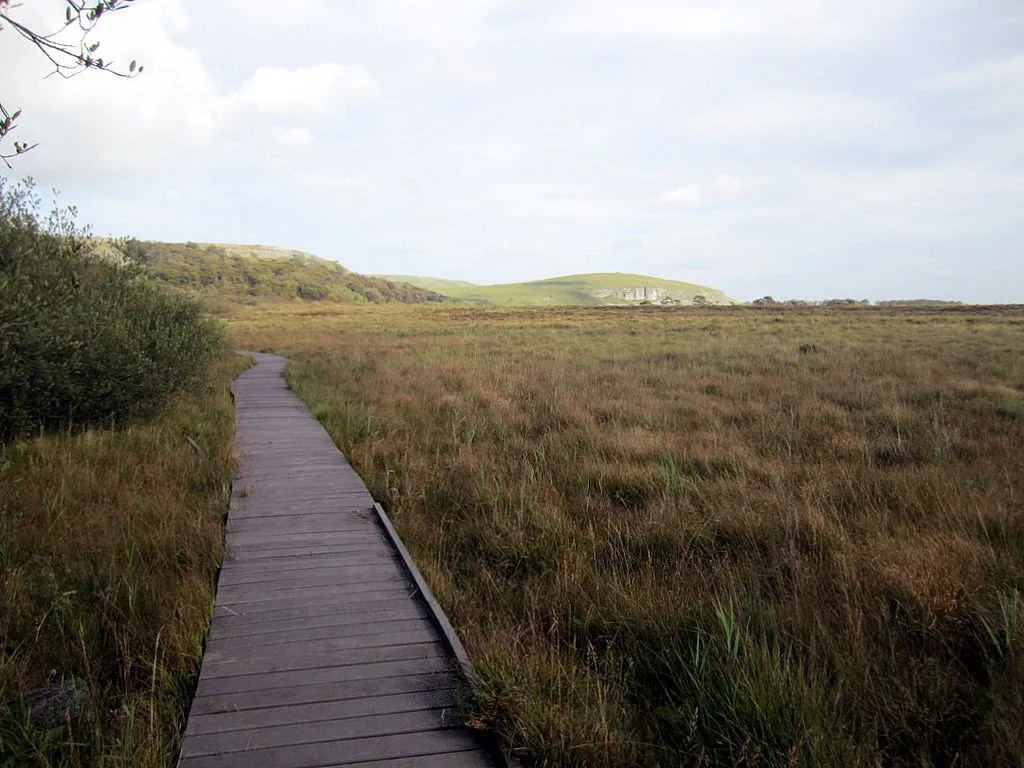
Turn left off the track before the cattle grid and follow the path along the side of Great Close Plantation, then join a track and pass through a gate into the land around the tarn. Malham Tarn is one of only two natural lakes in the Dales, sitting on Silurian slate along a major fault line, and you can follow the track around it as far as you like before returning to the gate.
From the gate, follow the Pennine Way sign for Watersinks and cross a knoll down to the road; cross Malham Beck and take the footpath sign for Malham Cove, about 1.5 miles away. Keep to the signed line rather than the path branching up the hill.
Route section 4: the dry valley of Watlowes down to Malham Cove
The path drops steeply at first, then flattens as it enters the dry valley, with the Watlowes to your left and Ing Scar to your right. Pass over the stone stiles and continue to the limestone pavement just ahead, where a gap in the wall about fifty yards on lets you turn right across the clints and grikes above the cove.
Take real care on the pavement: the clints and grikes are extremely slippery when wet, and the edge of the 230-foot (70 m) cove is close. The rock is uneven and demands attention even in dry weather, so keep children and dogs close and stay back from the lip.
The limestone pavement above the cove and the steps down
Cross the pavement to a wall with a built-in kissing gate, then descend the steep man-made steps, passing gates as you drop. At the fork below, the left branch gives the closer view back up at the cove, while the right fork heads directly for Malham; either way, a wide gravel path delivers you past the cliffs where peregrines are often watched.
Follow that path through the gates to the road, turn left and walk about five hundred yards back into Malham before turning right into the car park. The final stretch is on tarmac, a small contrast to the limestone and turf of the day.
Short version: an out-and-back to Malham Cove from the village
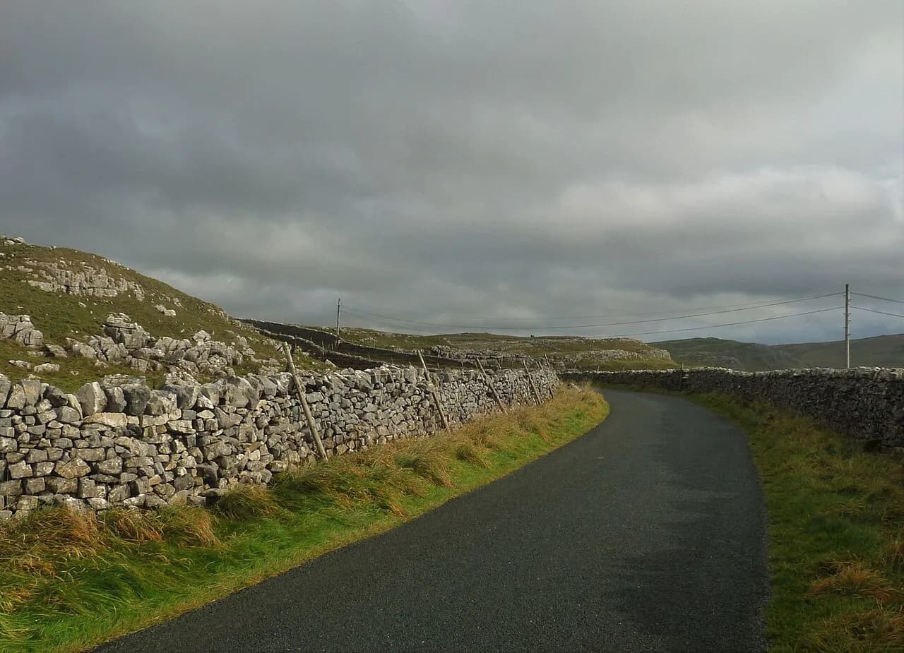
For a shorter outing, head through Malham and up Cove Road, then take the well-signed path to the right after about five hundred yards. The path is sturdy and pushchair and wheelchair accessible right to the base of the cove, where Malham Beck emerges from the cave system at the foot of the cliff.
From the base, in reasonably dry weather, climb the steep stone steps to the limestone pavement for the view over Malhamdale, then return the way you came. In wet weather the pavement is slippery and the steps demand care, so an out-and-back to the cliff base is the sensible family choice.
A short return leg crosses the stone footbridge over Malham Beck and follows the waymarked path on the far side back to the village in roughly three-quarters of a mile. That makes a compact loop without the tarn, the gorge or the dry valley.
When to go: seasons, ground conditions and how busy Malham gets
Spring brings wild garlic and bluebells to the Janet's Foss ravine, and the limestone holds up well in dry summer weather. High summer and bank holidays bring the heaviest crowds, so an early start pays off at the cove and the gorge.
Wet weather changes the day considerably. The Gordale Scar scramble is on rock beside falling water and becomes a poor choice when the beck is high, while the limestone pavement above the cove turns treacherous underfoot. In those conditions, favor the alternative lane to the tarn and keep off the pavement or move slowly across it.
What to wear and carry for limestone, wet rock and changeable weather
Wear boots with good grip for the rock and the tufa around the waterfalls; the scramble at Gordale Scar involves hands on rock and demands a confident head. Carry a paper map as well as a phone, since Ordnance Survey Explorer OL2 covers the whole circuit.
Take waterproofs and a warm layer, because the high ground around the tarn is exposed and the weather can turn while you are furthest from the village. If you plan to paddle in the beck, use clean, dry water shoes to limit the spread of invasive species between watercourses.
Getting to Malham and parking in the village
Drive to Malham and use the pay-and-display car park; overflow parking is available and on-street spaces are extremely limited. The car park toilets are the main facilities at the start, so plan around them rather than expecting more along the route.
Buses run to and from Malham, with Dales Bus publishing the timetables, so a car-free day is possible if you match your finish to the last service. Check the schedule before you commit to the full circuit, since a missed bus leaves you a long walk from Settle or Skipton.
Facilities, pubs and cafés in Malham
Malham has cafés and pubs including the Buck Inn and the Lister Arms, plus toilets at the car park, so you can eat before or after the walk without leaving the village. The Old Barn Cafe is a good stop for families, and there is ice cream back in the village for the walk home.
There are no refreshment stops on the high section between Gordale Scar and the cove, so carry water and food for the middle of the day. Treat the village as your base for both ends of the route rather than expecting a café at the tarn.
Plan Your Visit
Match the route to your day: the full 12.1 km (7.6 miles) circuit with 1,180 ft (360 m) of climbing for a committed day out, the 7.2 km (4.5 miles) Landscape Trail for a half day, or the cove out-and-back for a short family walk. Decide the Gordale Scar scramble on the day, based on the rock and the beck. If you like weighing short scrambles against longer valley lines, compare these choices with the Peak District hikes covered in our guide to hiking in Peak District.
Start early, park in the village car park, and take the scramble seriously if you choose it. For more routes across the region, browse the walks in the Yorkshire Dales and compare Malham with the Ingleton Waterfalls Trail and its River Twiss and River Doe sections.
Frequently Asked Questions
Is Malham Cove a difficult walk?
Not from the village to the cliff base, where the path is well maintained and accessible to pushchairs and wheelchairs. The steep stone steps onto the limestone pavement and the uneven rock above the cove make it harder, especially when wet.
How long is the walk around Malham?
The full circuit through Gordale Scar, Malham Tarn and Malham Cove is 12.1 km (7.6 miles) with 360 m (1,180 ft) of climbing, estimated at about 2 hours 55 minutes of walking. The shorter waymarked Landscape Trail is 7.2 km (4.5 miles) and takes about 3 hours.
Do you have to scramble up Gordale Scar?
No. The climb beside the waterfall is steep and rough and suits fit, experienced walkers, but an alternative lane route leads to Malham Tarn and rejoins the main circuit, so you can skip the scramble entirely.
Is there a walk around Malham Tarn?
Yes. The main circuit passes through a gate onto the land around the tarn, and you can follow the track around the water before returning to the gate and continuing toward Malham Cove.
Can you do a short circular walk to Malham Cove?
Yes. Walk up Cove Road, follow the signed path to the cove, and return on the waymarked path on the far side of Malham Beck for a loop of roughly 2.5 miles including the limestone pavement, or shorter if you stay below the cliff.
Why is Malham famous?
Malham is known for the limestone scenery of Malham Cove and Gordale Scar, the Janet's Foss waterfall, and the lake at Malham Tarn. The limestone pavement above the cove also appeared as a filming location in a Harry Potter film.
Where do you park for the Malham walk?
Use the pay-and-display car park in Malham village, which also has toilets. Roadside parking is limited, so arrive early, particularly at weekends and bank holidays.
Sources
Trail notes for your next trip
Optional updates when we add or revise hiking guides.
You might also like
Continue reading
More guides you'll find useful