Settle Walks: Yorkshire Dales Routes to Choose
Plan Settle walks in the Yorkshire Dales, from short waterfall and cave stops to half-day scar and fell circuits, with distances, terrain and trailhead advice.
On this page
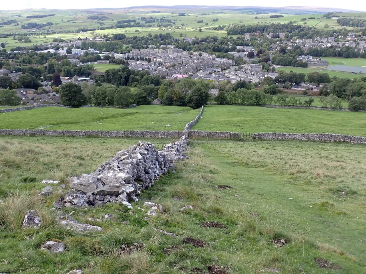
Settle is a market town on the southern edge of the Yorkshire Dales, sitting below Castleberg Crag with the Ribble running through the valley beneath it. From the Market Place you can see both the town's historic buildings and the crags above, and on a clear day the stepped summit of Pen-y-ghent and the long ridge of Ingleborough rise over the surrounding pastures. That combination makes it a practical base for hikers who want cave mouths, waterfalls and open fell without a long drive each morning.
The routes here fall into two rough groups. Short out-and-back paths and easy circuits of around 1 to 4 miles (1.6 to 6.4 km) suit families and half-days, while the scar circuits and fell routes run 6 to 8.5 miles (9.7 to 13.7 km) with real climbing and rough ground. Deciding which group you want before you set off is the single most useful choice you can make, because the long options start from trailheads well outside town, and the walks in the Yorkshire Dales reward that kind of sorting. That same level-matching exercise shapes hiking in the Lake District, where the fells are steeper still.
Where the walks begin
Many routes leave straight from Settle's Market Place, where the Shambles and the Market Cross mark the start of paths up Constitution Hill toward Castleberg and the Tot Lord Trail. The Pennine Bridleway signs point the way out toward Langcliffe, so you can begin a cave-and-scar circuit on foot from the town centre without moving the car. That is the big advantage of staying in Settle rather than in a scattered hamlet.
Settle also has a rail station, which puts the town on the famous Settle-to-Carlisle line and makes car-free walking realistic. From the station it is a short walk to the Market Place and the signposted paths above town. For the waterfalls, caves and fell routes outside town, expect to drive or use local buses; the routing of those services changes, so pick up current times from the relevant operator before you rely on them.
Short walks from town: Castleberg and the Settle Loop
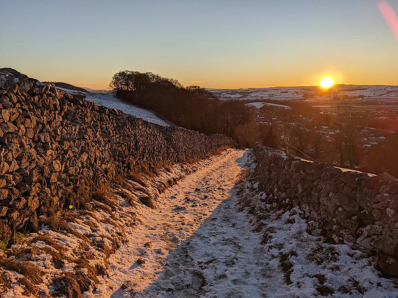
The simplest introduction is the climb up Constitution Hill toward Castleberg, where the path follows a gravelled track signed for the Pennine Bridleway and Langcliffe. Within a short distance you leave the streets behind and look down on the town and the Ribble. It is a good warm-up leg before committing to the longer scar circuit above.
The Settle Loop is a popular path for both walkers and cyclists, and the tracks are generally good underfoot. It suits hikers who want a few hours of limestone scenery without a technical descent. Treat it as a flexible half-day rather than a fixed figure, and read the junction signs as you go because the bridleway network around Langcliffe has several branches.
Victoria and Jubilee Caves on Attermire Scar
The cave circuit above Settle is the classic local outing: a climb to Victoria Cave and its smaller neighbour Jubilee Cave on Attermire Scar, with a choice of routes between 4 and 6.5 miles (6.4 and 10.5 km) depending on how much of the scar you trace. Victoria is a large cavern on the scar with a broad, level entrance, and Jubilee sits just along the same rock band. Bring a torch and a helmet, since you will be stooping under rock rather than walking in a show cave.
On the way up, the path passes the base of Langcliffe Scar before turning off to the cave. The track to the entrance is unsigned and the cave is not visible from the path below, so watch for the turn rather than walking past it. Expect a steady climb from town, a rough section along the foot of the scar and a descent that is reasonably steep in places.
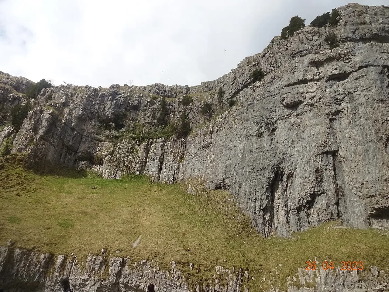
The ground here is limestone, and the walk crosses the Mid Craven Fault where the bedrock changes to gritstone. That is why the fields above town drain so well and why the boggy mire beyond the wall holds water. For hikers it means firm footing on the scar paths but soft, wet ground if you cut across the open access land.
Kinsey Cave and Giggleswick Scar circuit
For a bigger day from town, the Kinsey Cave and Giggleswick Scar circuit runs about 7 miles (11 km) and starts and finishes in Settle, so you keep all the town's amenities at either end. The route passes the historic schoolboy's tower and Nevison's Nick, a spot tied to a highwayman legend. Kinsey Cave itself has a wide, level entrance that you can look into with a torch and helmet and no caving experience.
This is the longest of the town-based routes and it earns its grade: expect a full half-day with a steady climb onto the scar and a return through fields and lanes. Because it begins and ends at the Market Place you can time it around a meal in town rather than carrying everything for the day. Hikers with younger children usually prefer the cave circuit above town, which is shorter and easier to cut short.
Waterfalls near Settle: Scaleber Force and Catrigg Force
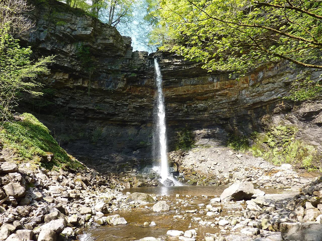
Scaleber Force is the shortest outing in this guide, a 1-mile (1.6 km) out-and-back into a wooded gorge owned by the Woodland Trust. The fall sits in a magical setting, but the access is steep and slippery, which is why it carries a hard grade despite the tiny distance. Wear boots with grip and take care on the descent to the water, especially after rain.
Catrigg Force above Stainforth is an easier prospect, with a 1-mile (1.6 km) out-and-back or a longer 2.5-mile (4 km) circuit for older walkers. The route takes in stepping stones, a nature reserve and the waterfall itself, and the pub in Stainforth makes a natural finish. This is the one to choose if you want a waterfall without a slippery gorge scramble.
Stainforth Force and the Hoffman Kiln
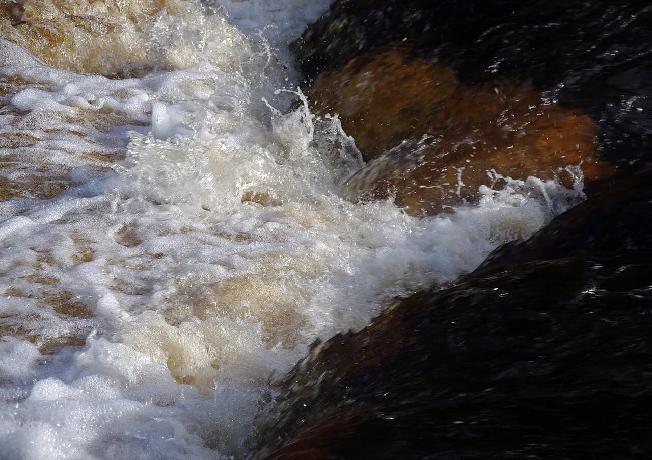
The Stainforth Force and Hoffman Kiln circuit is 4 miles (6.4 km) and packs a waterfall, a huge abandoned lime kiln, a ghost story, the railway and a pub into one loop. The river here is the Ribble, dropping over a rock step in a wooded setting below the village. It is a good choice for mixed groups because the distance is modest and the interest is constant.
Stainforth is a short drive or bus ride from Settle, and the walk starts from the village rather than the town centre. Combine it with Catrigg Force if you want a fuller day, since both begin from the same village. The river banks can be slick after rain, so keep to the path on the wet sections near the falls.
The Three Peaks from Settle-area trailheads
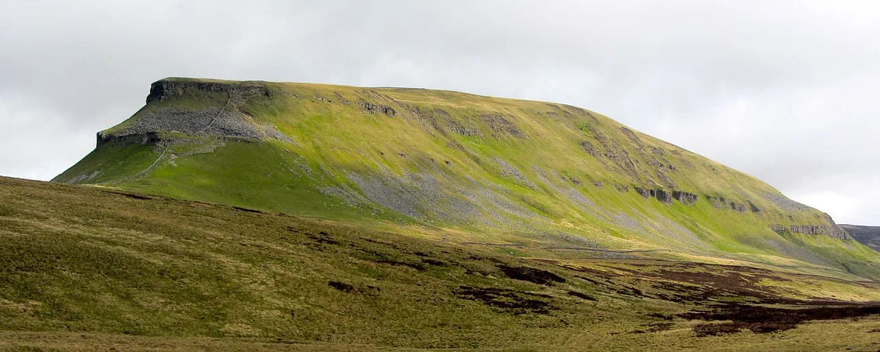
Pen-y-ghent is the smallest of the Yorkshire Three Peaks and arguably the best-value summit from Settle, with a 7.5-mile (12 km) circuit from Horton in Ribblesdale that takes in the small scramble on the ascent. The scramble is easier going up than coming down, and a detour to Hull Pot is worth the extra time, especially after heavy rain when the pot fills with falling water. This is a real fell day with rough ground and changeable weather.
Whernside is the highest summit in the national park, and the 8.5-mile (13.7 km) circuit from Ribblehead takes a quieter line than the race route, avoiding the steep and often slippery descent. Force Gill, reached from the Ribblehead Viaduct along a 6-mile (9.7 km) out-and-back, gives a waterfall objective for hikers not ready for the full summit. Both routes start near the viaduct, a structure of 24 arches standing 32 m (105 ft) above the moor.
Ingleborough can be climbed from Clapham or Ingleton, with a 7-mile (11 km) linear route or a 10-mile (16 km) circular version. The plateau summit is broad and exposed, so carry a map and compass and turn back if cloud closes in. For the full three-summit challenge in one push, the logistics and the effort are a separate project.
Caves in the wild: Yordas Cave and Gaping Gill
Yordas Cave in Kingsdale is less a walk than an explore, under a mile (1.6 km) each way, and is a former Victorian show cave with a large level entrance and the original entrance steps still in place. Inside there is a 30-foot (9 m) waterfall, and the main chamber is big enough to move around in. Bring a powerful torch and a helmet, because the floor is wet and uneven.
Gaping Gill near Clapham is a 5 to 6-mile (8 to 9.7 km) out-and-back along the Ingleborough Estate Nature Trail, past Ingleborough Show Cave and through Trow Gill to the point where the beck disappears underground. Stay well back from the edge, because the drop below is roughly 100 feet (30 m) into a huge cavern. The cave itself is entered only on winch days run by caving clubs, when members of the public are lowered in.
Clapham and Austwick walks
The Norber Erratics are a 5-mile (8 km) circuit from Clapham to a cluster of glacial boulders perched on smaller stones in precarious positions. The geology is the attraction: rocks carried and dropped by ice, now standing in odd arrangements on the hillside. The walk is rough underfoot in places and best done in dry weather.
Oxenber Woods from Austwick is a 2.5-mile (4 km) circular through one of the few woodlands in the Dales, with a climb, a beck to splash in and bluebells in spring. The village play park at the end makes it a natural family choice. Austwick is a short drive from Settle and reachable by local bus, though the service is worth checking before you travel.
Ribblehead Viaduct circular
The Ribblehead Viaduct circular is 4 miles (6.4 km) on easy terrain, giving big views of Ingleborough and Whernside on either side of the arches. You might catch a train crossing the viaduct, and the scale of the structure is the main attraction. It suits families and anyone wanting a gentle introduction to the moor before tackling a summit.
Terrain, footwear and weather
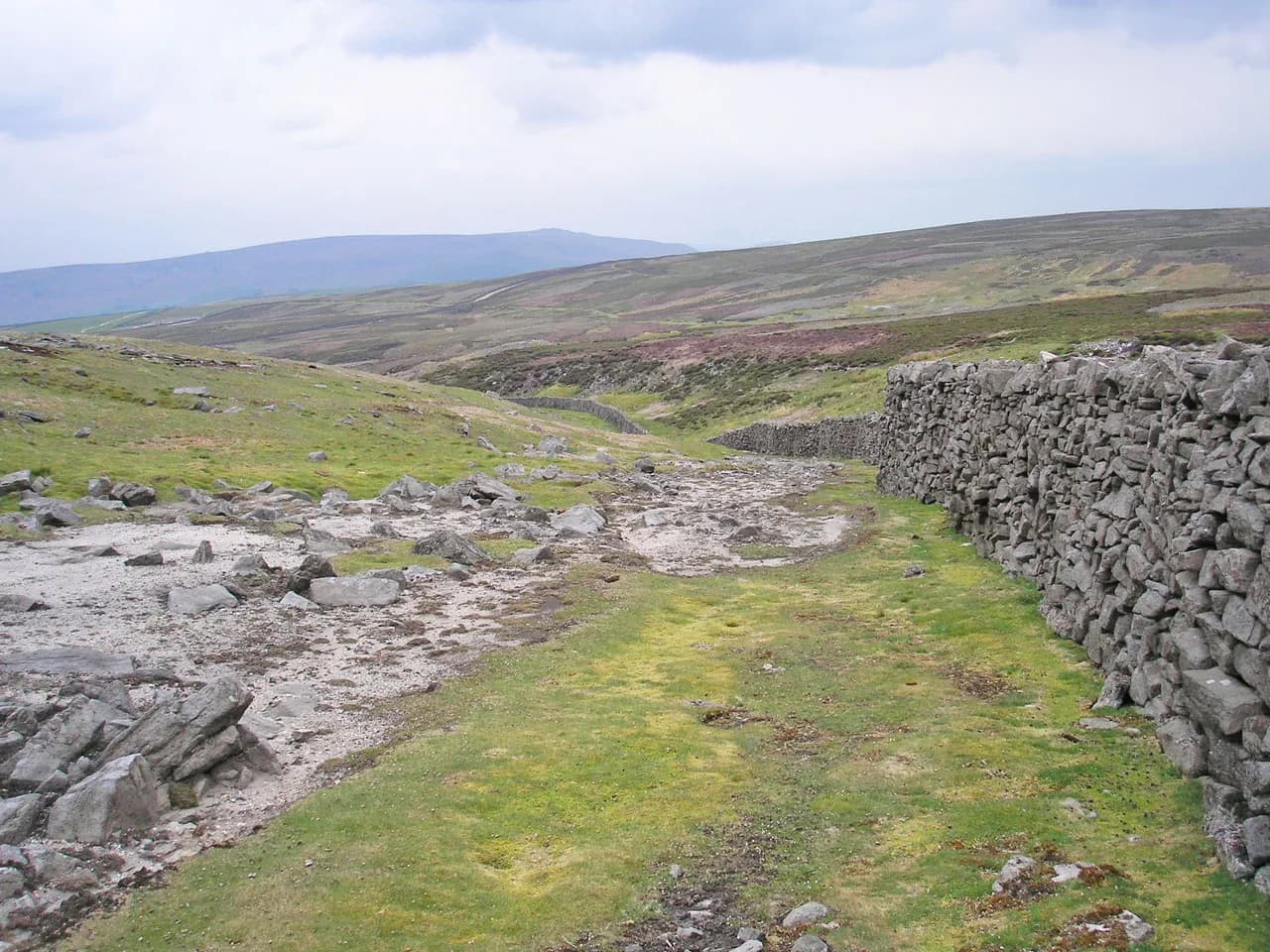
Limestone is the dominant rock around Settle, which means good grass on the scars but dry, stony ground where the paths run. The gritstone beyond the Mid Craven Fault holds water, so expect boggy patches after rain and wear boots rather than trail shoes on the open access land. On the fell routes, snow can linger on the passes early and late in the season, and afternoon storms build quickly on the summits.
Caves around Settle are entered with a torch and helmet, and the ground inside is wet, uneven and sometimes low. Outside, the steep, slippery access to Scaleber Force and the exposed edge at Gaping Gill are the two spots to treat with the most care. Carry a map and compass on the fell routes, since cloud can close in on the summits without warning.
Which Settle walk suits which hiker
If you are on foot from town, the cave circuit and the Kinsey Cave day are your options, with the shorter cave version the better choice for families. If you have a car or can reach the villages by bus, the waterfall stops at Stainforth and the Ribblehead circular give easy half-days, while Pen-y-ghent and Whernside are full fell days with real climbing. Pick by how much time and effort you want rather than by which summit sounds most famous.
For a broader picture of routes across the region, including the limestone country around Malham and the waterfall country, compare these options before you commit. The national park and the relevant estates publish current path and access details for the routes above. Check those before you travel if a route depends on a specific path or cave entry.
Plan Your Visit
Settle rewards hikers who treat it as a base and choose the route to match the day. A short out-and-back to Scaleber Force, a half-day on the scars above town and a full fell circuit from Ribblehead all start within a short drive of the Market Place. Build your plan around the weather and your group's fitness rather than trying to tick every route.
Book accommodation in town if you want to walk from the door, and plan transport to the outlying trailheads in advance. For a wider set of routes across the dales, the Malham Cove walk and the riverside circuit of the Ingleton Waterfalls Trail, which follows the River Twiss and River Doe, make natural next steps.
Frequently Asked Questions
What are the best short walks from Settle?
The cave circuit to Victoria and Jubilee Caves above town covers 4 to 6.5 miles (6.4 to 10.5 km) and starts from the Market Place. For something much shorter, the Scaleber Force out-and-back is 1 mile (1.6 km) but has steep, slippery access, and the Ribblehead Viaduct circular is 4 miles (6.4 km) on easy terrain.
How long is the Settle Loop?
The Settle Loop is a signposted bridleway route on generally good tracks around the limestone country above town. Its exact length depends on the branch you take, so follow the junction signs and plan it as a half-day rather than a fixed figure.
Can you walk to Victoria Cave from Settle?
Yes. The route starts in Settle and climbs to Victoria Cave on Attermire Scar, with a choice of a shorter or longer version between 4 and 6.5 miles (6.4 and 10.5 km). The final track to the cave is unsigned and the entrance is hidden from below, so watch for the turn, and bring a torch and helmet.
How far is Scaleber Force from Settle?
Scaleber Force lies near Settle and the walk to it is a 1-mile (1.6 km) out-and-back into a wooded gorge. The approach is steep and slippery, so boots with grip matter more here than on the town paths.
Is the Ribblehead Viaduct circular walk easy?
Yes. The 4-mile (6.4 km) circular from Ribblehead runs on easy terrain and gives views of Ingleborough and Whernside on either side of the viaduct. It is a good introduction to the moor before you attempt a summit.
Which Settle walks are suitable for families?
The Oxenber Woods circular from Austwick is 2.5 miles (4 km) with a play park at the end, and the Stainforth Force and Hoffman Kiln loop is 4 miles (6.4 km) with a waterfall and lime kiln. The cave circuit above town also works for older children, provided you bring a torch and helmet.
Sources
Trail notes for your next trip
Optional updates when we add or revise hiking guides.
You might also like
Continue reading
More guides you'll find useful