Catbells Walk: Route, Distance, Ascent and Trailhead Access
A steady half-day fell walk above Derwent Water, with the route, distance and ascent, trailhead and parking options, and the best months to climb Catbells.
On this page
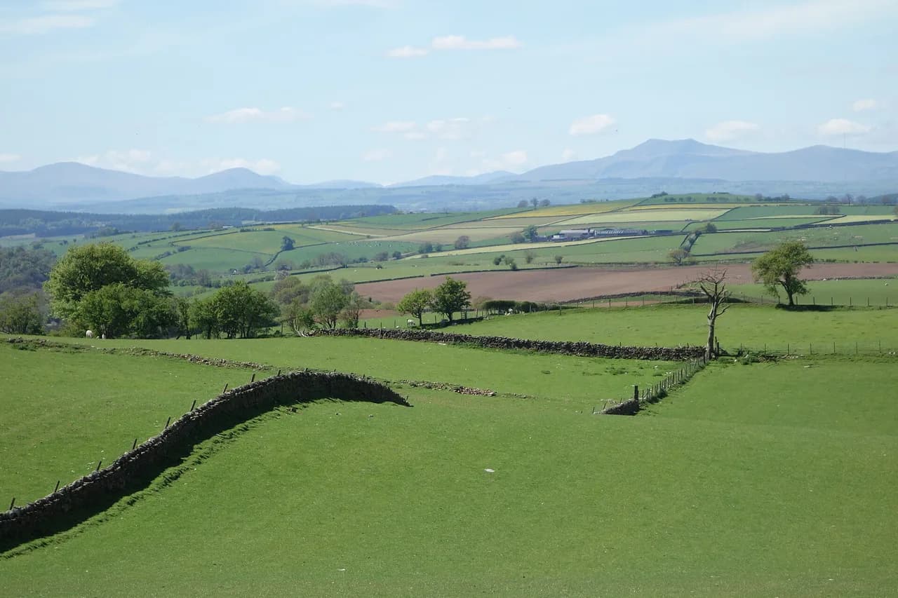
Catbells offers one of the Lake District's most rewarding short days out: a shapely fell of 451 m (1,480 ft) standing directly above Derwent Water, with the Newlands Valley on one side and the lake and Keswick on the other. The climbing is modest, the ridge is knobbly and the views arrive early, which makes it a good first fell for fit beginners and a satisfying half-day for experienced hikers with limited time. It also sits among the fells covered in the wider Wainwright guides, so it slots easily into a longer Lakeland itinerary.
The trade-off is popularity. The main path up the nose of the fell is well worn and gets busy on fine weekends and holidays, so an early start or a weekday gives you a quieter summit. Plan on a half day rather than a full one, and treat the return leg as part of the walk: the descent into Newlands is as good as the climb.
Meet Catbells: a Fell Above Derwent Water
Catbells stands at 451 m (1,480 ft) on the western shore of Derwent Water, close to Keswick and directly above the hamlet of Skelgill. Its appeal is the shape: a series of rocky knuckles rising in steps from the shore, giving constant changes of angle and view rather than one long grind. From the top you look down the length of Derwent Water, across to Skiddaw and Blencathra, and west into the Newlands Valley.
It suits hikers who want a real summit without a full day of walking, and who are comfortable on rough, steep ground for short stretches. It is not a flat lakeside stroll: you gain height quickly and the ridge is rocky underfoot. If you are building up to bigger Lakeland days, this is a sensible first objective before moving on to longer rounds, and the same short-summit approach is worth comparing with hiking in Yorkshire Dales.
Where the Walk Starts and Finishes
The classic start is Skelgill on the western shore, where a short approach path leads around the foot of the fell to the base of Skelgill Bank, the nose of the ridge. From there the route climbs steadily to the summit and continues along the ridge to the hause, the low saddle between Catbells and Maiden Moor. Many hikers turn back at the hause, descending the western flank to return to Skelgill.
The alternative start is Hawes End, a landing point on the western shore of Derwent Water, which puts you on the fell side without needing a car. From Hawes End the path joins the main ridge line for the climb. Whichever start you choose, the walk finishes either back at the same point or, if you continue over the hause, on the Maiden Moor side with a longer return.
Getting to the Trailhead
By road, the approach is from Keswick along the Borrowdale road, turning off toward Skelgill and the western shore. Parking near Skelgill is very limited, so arriving early matters on fine days; if the roadside spaces are full, use the Hawes End approach instead. The road continues south along the shore toward Grange and Borrowdale, giving a second access corridor to the fell.
By boat, the Keswick launch on Derwent Water runs along the lake and serves landing points on the western shore, including Hawes End, which is the most direct water access to the Catbells path. Launch timetables and fares change by season, so check current times and prices with Keswick Launch before relying on a specific sailing for your return. Combining a launch out with a walk back along the shore makes a car-free day.
Distance, Ascent and Walking Time
The Skelgill circuit described in walking accounts comes in at about 3.1 miles (5 km), climbing from the shore to the 451 m (1,480 ft) summit and returning along the western flank. Allow roughly three to four hours at an easy pace with stops for the views, and longer if you continue to the hause and beyond. Treat these as planning figures rather than a schedule: the rocky sections slow you down more than the distance suggests.
Total ascent is modest for a fell of this height because the start is already above the lake, but the path rises in steps rather than evenly. If you add the continuation toward Maiden Moor, both distance and time grow significantly. Route descriptions and community route pages give further variants, including circular routes from Hawes End that take in more of the shoreline.
Route Description: Skelgill Bank to the Summit
From the foot of the fell the path rounds the corner and begins the climb up Skelgill Bank, the promontory that forms the nose of Catbells. Derwent Water comes into view almost immediately as you gain height, with Swinside below and the wooded shore at Brandelhow across the water. The path is obvious and well trodden, so navigation is straightforward in clear weather.
Partway up there is a short scrambly step, a rocky section where hands are useful. It can be avoided by a path that skirts it, which is the sensible choice in wet or icy conditions or if you are unsure on exposed rock. Just above this section a memorial plaque is set into the rock, a landmark many walkers stop at before the final pull to the summit.
Above the rocky step the angle eases and the path runs along the crest with the Newlands Valley falling away to the west and the lake to the east. Causey Pike and its knobbly outline appear beyond Newlands, and Skiddaw rises behind you to the north. The summit itself is a rocky top with room to sit, and Maiden Moor stretches away beyond it.
The Summit Ridge and the Views
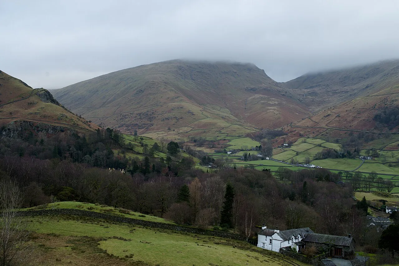
The summit ridge is the reward: on a clear day you can pick out Keswick and Bassenthwaite Lake to the north, the islands and wooded bays of Derwent Water below, and the full sweep of the Newlands Valley to the west. Causey Pike, Ard Crags and the Borrowdale fells close the view to the south. This is a fell where the panorama changes with every few steps of the ridge.
Beyond the summit the ridge continues to the hause, where the ground drops before rising again toward Maiden Moor. Many hikers stop here, take in the view back along the ridge, and turn for the descent. Staying on the crest gives the best of the scenery; the trade-off is exposure to wind and weather on the open ridge.
Descent Options
The quietest return is to leave the main path just before the hause and descend the western flank of Catbells back toward Skelgill. This line gives superb views into the Newlands Valley and is generally less crowded than the ridge. It also keeps you off the steepest ground on the nose of the fell, which can be slippery when wet.
The other option is to carry on over the hause onto Maiden Moor, adding a longer ridge section and committing you to a return either along the same line or down to the Borrowdale road for a different finish. That extension turns a half day into most of a day and should only be taken on with enough daylight and settled weather. For a shorter day with a similar feel, keep Catbells as an out-and-back.
Difficulty, Exposure and Footing
Catbells is a moderate fell walk rather than a scramble: the path is clear and the height gain modest, but the ridge is rocky and there is one short scrambly step that requires hands. Exposure is real on the crest in wind, and the rocky ground stays wet and greasy after rain. Boots with grip and a waterproof layer are more useful here than any technical kit.
The main hazards are weather-related: sudden changes on the open ridge, afternoon cloud and rain, and snow or ice on the rocky sections in winter, when the scrambly step becomes a genuine problem. If conditions are poor, use the bypass path around the step and keep to the lower western descent. If you want a longer, more sustained Lakeland ridge day, compare this with routes like the Striding Edge approach on Helvellyn.
When to Go
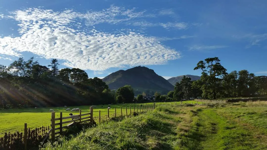
Late spring through early autumn is the most reliable window: longer daylight, drier rock and the full panorama from the summit. Early morning is the best time to have the ridge to yourself, since Catbells is a popular first fell and the path fills on fine weekends and holidays. Summer evenings on Derwent Water are also excellent, with the launch running later into the day.
Winter ascents are possible but demand care: short days, ice on the rocky step and wind on the crest all narrow your margin. Snow on the summit ridge can persist after the lake shore has cleared. Check a mountain forecast before setting out and be ready to switch to a lower lakeside walk if the tops are in cloud.
Facilities and Around Keswick
There are no huts or cafés on the fell itself, so carry water, food and a waterproof layer for the day. Keswick, a short drive or bus ride away, has the full range of shops, cafés and outdoor equipment stores for stocking up before or after the walk. The western shore has little in the way of facilities, so treat the trailhead as a place to park and start rather than to buy supplies.
If you want to build a picnic around the day, the shoreline of Derwent Water and the woods at Brandelhow make a good base before or after the climb. Otherwise combine Catbells with a lake launch trip and a stroll along the shore. For contrast on another day in the national park, the Aira Force walk offers woodland and waterfalls rather than open fell.
Extending the Day: Maiden Moor and Borrowdale
Continuing from the hause onto Maiden Moor adds a longer high-level section with less traffic and views deeper into Borrowdale. From Maiden Moor, routes drop to the Borrowdale road near Grange or continue further along the ridge. These extensions add distance and time, so plan your return and check daylight before committing.
If you prefer to stay low, the Borrowdale side of Derwent Water has shoreline paths and woodland, reachable from the same road corridor and from the lake launches. Combined with the ascent, this gives a flexible day: fell in the morning, lakeside in the afternoon. For a bigger Lake District classic on another day, the Fairfield Horseshoe at Rydal is a fine step up in length and height.
Plan Your Visit
Catbells is the ideal introduction to fell walking in the Lake District: a short climb, a shapely ridge and views that keep rewarding you. Start early from Skelgill or take the launch to Hawes End, use the bypass around the scrambly step if the rock is wet, and return along the western flank for the finest views into Newlands. Pack water and a waterproof, and keep an eye on the weather on the ridge.
If you have the legs and the daylight, add Maiden Moor for a longer day out; if conditions turn, drop to the lakeshore instead and enjoy the launch and the woods. Either way, bookend the walk with time in Keswick for food and gear. With a straightforward route and a modest summit, this is a fell you can reasonably fit into a morning.
Frequently Asked Questions
How long is the Catbells walk?
The classic Skelgill circuit is about 3.1 miles (5 km), climbing to the 451 m (1,480 ft) summit and returning along the western flank. Allow three to four hours at an easy pace with stops, and longer if you continue over the hause toward Maiden Moor.
How difficult is the Catbells walk?
It is a moderate fell walk: a clear but steep and rocky path with one short scrambly step that can be avoided. Exposure on the crest in wind and wet, greasy rock after rain are the main considerations; boots with grip are essential.
Where do you park for Catbells?
The usual base is the roadside near Skelgill on the western shore of Derwent Water, where spaces are extremely limited on fine days. If it is full, approach from Hawes End on the same shore, or use the Keswick launch and arrive on foot.
Can you take the Keswick launch to the Catbells trailhead?
Yes. The Keswick launch on Derwent Water serves landing points on the western shore, and Hawes End puts you close to the start of the climb. Timetables and fares change by season, so check current details for your return sailing.
What is there beyond the Catbells summit?
The ridge continues to the hause, the saddle between Catbells and Maiden Moor, with fine views back along the crest. Continuing onto Maiden Moor adds a longer high-level section and commits you to a return along the ridge or down to the Borrowdale road.
When is the best time to climb Catbells?
Late spring through early autumn gives the most reliable weather and longest daylight. Early mornings and weekdays are quieter, and winter ascents need care because of ice on the rocky step and short days.
Sources
Trail notes for your next trip
Optional updates when we add or revise hiking guides.
You might also like



Continue reading
More guides you'll find useful