
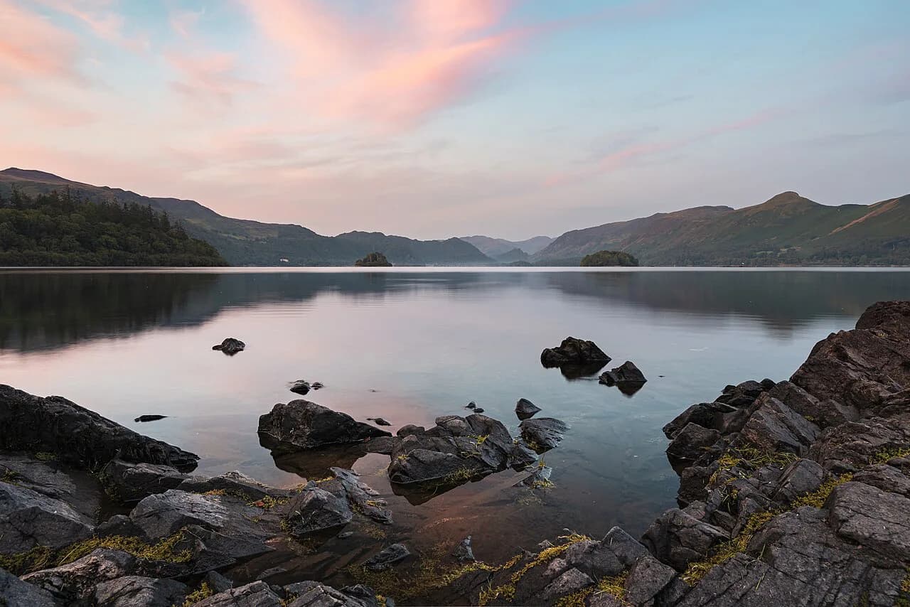
Derwentwater Walk: Which Lake District Route to Choose
Walk the full Derwentwater circuit or a shorter shore route from Keswick. Distances, waymarked paths, launches and where the Borrowdale woods begin.
On this page
Derwentwater is the Lake District's easiest big day out on foot: a three-mile (4.8 km) lake with a waymarked circuit, wooded shores, seven landing stages served by the Keswick launches and a start point fifteen minutes' stroll from Keswick's Market Square. It suits hikers who want distance without exposure, families building confidence, and anyone planning a longer trip who needs a low-level recovery day between fell routes in the wider hiking in lake district region.
The trade-off is not difficulty but choice. You can commit to the full round-the-lake path, hop off a launch to cut it in half, or start in Borrowdale at Grange and climb to a mid-level line above the water for better views of Castle Crag and the Jaws of Borrowdale. All three stay close to the shoreline, so the walking is gentle even when the distance is not.
What the Derwentwater walk offers and who it suits
This is woodland and shoreline walking rather than fell walking. The circuit passes through ancient oakwoods, along shingle beaches and past viewpoints such as Friars Crag, with cafes and hotels spaced around the route so you can travel light. Anyone comfortable on a flat path for a few hours will manage it; the effort comes from the length, not the gradient.
Hikers with a head for height should treat Derwentwater as a base, not the whole trip. The Catbells walk and the classic ridges described among The Wainwrights sit above the lake and give you the elevation the shore path lacks. A common pattern is the lakeshore on a cloudy or windy morning and a fell on a clear one.
Where the walk starts: Keswick foreshore and Friars Crag
From Keswick, walk down Lake Road through Hope Park to the foreshore; the lake is about fifteen minutes from the Market Square and the boat landings are right there. Friars Crag sits a short distance beyond the landings, and its view up Borrowdale is the reason so many people stop before they have properly started.
Starting in Keswick means you begin and finish in a town with shops, buses and accommodation, which makes a one-way plan easy to arrange. The cost is a short urban prologue before the woodland begins, and a busier first kilometre than the west shore ever gets.
Reaching the trailhead and the launch landings
Keswick is the transport hub for the lake: the Rambler Stagecoach buses run from town along the Borrowdale Road beside Derwentwater, so you can start or finish at several points on the shore without a car. The Keswick launches operate a regular timetable around the lake from the boat landings near the foreshore, giving you a second way to join or leave the path.
If you start in Borrowdale instead, Grange has a small free car park by the double-arched bridge over the River Derwent, and the village is the natural trailhead for the shorter route. Spaces there are limited, so arriving early matters more than any charge.
Distance, ascent and time for the full circuit
The full round-the-lake route is described both as a nine-mile (14.5 km) round trip and as a scenic ten-mile waymarked walk on flat, easy paths. Treat those figures as the range for the day; either way it is a full day on foot at a relaxed pace, with picnic stops and cafes along the way.
Because the circuit is flat and low, ascent is negligible and walking time depends almost entirely on how often you stop. Budget longer than the distance suggests if you plan to detour to viewpoints, sit on the shingle beaches or wait for a launch.
The Derwentwater Walk section by section
From the Keswick end, the waymarked path runs through Calf Close Bay, where the Centenary Stone sits carved from a boulder of Borrowdale volcanic rock, then on through the woods towards the head of the lake. Look for the sculpture of hands at Brandelhow, marking a century of National Trust care for the shoreline.
The west shore is the quieter half, alternating woodland, open shingle and small bays with views across the water to Walla Crag and Bleaberry Fell. The path is flat but the surface is not uniform: tree roots, mud and changing lake levels all interrupt the easy going.
Four islands sit in the lake, all owned by the National Trust, and much of the shoreline is theirs too, which is why the circuit feels wooded and undeveloped rather than built up. Admire the islands from the shore path and leave any landing to the launch jetties.
Manesty and the head of the lake at Borrowdale
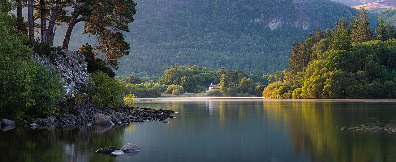
At the head of the lake the path reaches Manesty Park and Great Bay, where the Borrowdale oakwoods close in. Walking north from Grange on the Cumbria Way brings you here through Great Bay and then Manesty Park, with Abbot's Bay and its boathouse on the way. This is temperate rainforest country, with the wet, green, lichen-heavy woodland that label implies.
The woods here are the largest area of native broadleaf woodland of any Lake District valley, and the rainfall that sustains them is the same weather that soaks walkers. Waterproofs are not optional equipment on this section.
Return along the east shore past the launch jetties
The eastern half brings you back past the landing stages, so you can break the return whenever you like and finish by boat. With seven jetties around the lake, the hop-on, hop-off tickets turn a long circuit into a series of short legs, and a full cruise of the lake takes about 50 minutes if you would rather sit than walk.
Plan your direction so the busiest stretch, close to Keswick, comes at the end rather than the middle. Walking clockwise from the foreshore puts the quiet west shore first and leaves the landings and Friars Crag for the finish.
Using the Keswick launches to shorten the walk
The launches are the practical shortcut for anyone with tired legs, limited time or children in the group. Board at any landing stage, walk a section of shore, then pick up the next boat; the tickets allow you to get on and off at the stops around the lake.
Timetables and fares change with the season, so ask at the Keswick boat landings on the day you plan to walk. Build the walk around the boats rather than the other way round, and you will never be stranded at a jetty.
A shorter Borrowdale start: Grange, Manesty Park and Brandelhow
The Borrowdale variant is the better half-day option: 5.2 miles (8.4 km) with about 600 feet (180 m) of ascent, starting from Grange and heading north past the Borrowdale Gates Hotel to join the Cumbria Way. The route reaches Manesty Park and Great Bay, follows the shore to Brandelhow Bay, then climbs to a higher path and returns to Grange above the village.
The return leg is the scenic one. Climbing the foothills of Catbells to a mid-level path above the lake gives you views over the water and across to Castle Crag, one of the Jaws of Borrowdale, before the path descends past Holy Trinity Church into Grange.
That mid-level path above the lake and where it rejoins the road
Near Manesty you have a genuine choice: the easy lane back to Grange, or the higher path that keeps above the road and delivers the best views of the day. The higher line is the one to take in good visibility, crossing a footbridge over a beck running down from Maiden Moor before contouring towards the village.
The route is short enough to extend or cut short depending on the weather and how the group is moving, so treat the described line as a frame rather than a fixed itinerary. Pay attention where the path meets the road below Catbells: the return route leaves the tarmac almost immediately for the path on the right.
When to go: seasons, lake levels and woodland colour
Autumn is the standout season here, when the Borrowdale birches turn and the oakwoods take on colour against the water. Spring brings fresh growth and fuller becks, while summer gives the longest evenings for a late finish and the best odds of eating outside.
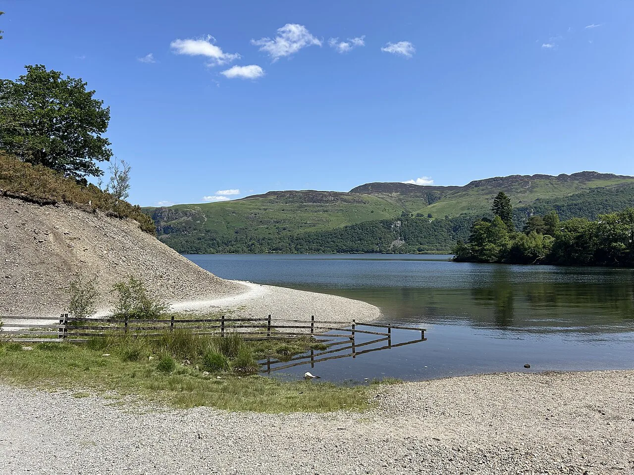
Lake level shapes the shore path and the shoreline itself. The water varies enough that features on the shore move between being submerged and standing high and dry, so expect short wet sections after heavy rain rather than a consistently dry trail.
Cafes and water stops on the way
The full circuit is unusual for a Lake District day in that you pass cafes, hotels and restaurants around the shoreline, so you can buy lunch rather than carry it. Shingle beaches and picnic spots give you places to sit even when the weather is generous.
There are no mountain huts on this route and no need for them. Carry water anyway, since the level shoreline walking in warm weather dehydrates you just as steadily as a climb, and refill where you stop rather than relying on a single planned break.
Hazards on the shore: wet roots, lake level and afternoon storms
The hazards are modest but real: greasy tree roots in the oakwoods, muddy sections where the path meets the water, and a shoreline that changes with the lake level. Borrowdale receives around 11 feet (3.4 m) of rain a year, so the ground is often wet even when the sky is not.
Afternoon storms build quickly over the fells at the head of the valley, and the open shoreline and jetties offer little shelter. Start early if a thundery forecast is in, and keep the option of finishing by launch rather than committing to the full circuit.
Dogs on the Derwentwater walk
A low-level lake circuit is good dog country, with shade in the woods and water at the shore for most of the route. Keep leads handy around the launch jetties, cafes and the beaches where families picnic, and carry water for the dog as well as yourself.
Check the rules for any beach or landing you use, since access restrictions apply in some places around the lake. The National Trust, which owns the islands and much of the shore, is the authority to ask about where a dog can go.
Base villages: Keswick versus Borrowdale
Keswick suits walkers who want to start on foot, use buses and launches, and have easy evenings in town; the lake is a fifteen-minute walk from the Market Square. Borrowdale, with Grange as its trailhead, suits anyone who would rather begin in woodland and skip the urban start.
Choose the base that fits the rest of your trip. Keswick makes a low-level lake day logistically simple, while Borrowdale puts you closer to the head of the lake and the Catbells side of the valley, which can then carry into the next day's Catbells walk. If you are weighing low-level days against higher routes elsewhere, the Scotland hiking guide covers how the same base-versus-distance decision plays out on long-distance trails.
Plan Your Visit
Decide first how far you want to walk, then pick the start. The full circuit from Keswick gives you the classic lake day with launches as backup; the Grange route gives you the quieter woods and the elevated return above the water in half the distance.
Whichever you choose, start early enough to leave a margin for weather, carry waterproofs for the oakwoods, and buy your ticket or ask about boats at the Keswick boat landings before you set off.
Frequently Asked Questions
How long is the Derwentwater walk?
The circuit right around the lake is given as a nine-mile round trip, and the waymarked route around the water is described as a ten-mile walk on flat, easy paths. Either figure makes it a full day at a relaxed pace. A shorter alternative from Grange in Borrowdale covers 5.2 miles with about 600 feet of ascent.
Can you walk around Derwentwater in a day?
Yes. The circuit is flat and low, with cafes and picnic spots around the shore, so most walkers finish comfortably within a day. If you want a shorter day, use the Keswick launches to skip a section rather than turning back the way you came.
How do you get to the Derwentwater walk from Keswick?
Walk down Lake Road through Hope Park to the foreshore, which is about fifteen minutes from the Market Square. Rambler Stagecoach buses also run from Keswick along the Borrowdale Road beside the lake, so you can start or finish at several points on the shore.
Can you use the lake launches to shorten the walk?
Yes. The Keswick launches run a regular timetable and stop at seven landing stages around the lake, so you can walk a section and pick up the next boat. Fares and timetables vary by season, so ask at the boat landings on the day.
Is the Derwentwater walk flat?
The full lakeshore circuit is flat and easy on waymarked paths. The Borrowdale alternative from Grange includes a climb to a mid-level path above the water, with roughly 600 feet of ascent.
Where does the Borrowdale walk from Grange go?
It leaves Grange past the Borrowdale Gates Hotel, joins the Cumbria Way to Great Bay, follows the shore through Manesty Park to Brandelhow Bay, then climbs under Catbells to a higher path and returns above the village.
When is the best time to walk around Derwentwater?
Autumn is the finest season, when the birches and oakwoods change colour and the views stay open. Spring and summer work well for longer days, while heavy rain leaves the shore path wet and muddy at any time of year.
Are dogs allowed on the Derwentwater walk?
Dogs are well suited to the low-level circuit, with shade in the woods and water at the shore. Keep leads handy near the jetties, cafes and picnic beaches; the National Trust sets access rules on the shoreline it manages.
Sources
Trail notes for your next trip
Optional updates when we add or revise hiking guides.
You might also like



Continue reading
More guides you'll find useful





