
Orrest Head Walk: Windermere's Easy Lake District Viewpoint
Walk from Windermere station to Orrest Head in about 30 minutes, or take the longer 7.2 km (4.5 mile) circuit through Far Orrest farmland and woodland.
On this page
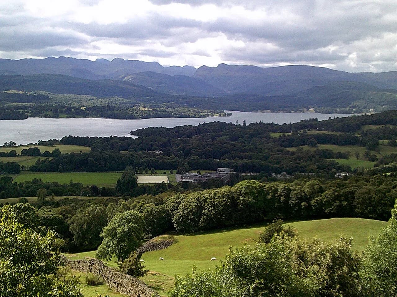
Orrest Head is the rarest kind of mountain morning: a summit you can reach from a railway platform in half an hour, with Windermere spread below and the highest fells of the Lake District lined up behind it. It suits anyone with a free morning in Windermere, families with children old enough for a stepped woodland climb, and walkers who want a big panorama without committing a full day.
The hill earned its reputation early. When a young Alfred Wainwright stepped off the train in 1930, he climbed Orrest Head first, and the view from the top set him on the path that produced his fell guides. A slate tablet on the summit now names the peaks for you.
Where Orrest Head is and who the walk suits
Orrest Head sits just north of Windermere village, on the eastern edge of the Lake District in Cumbria. The summit stands at 239 metres (784 feet), low by Lakeland standards but high enough to clear the surrounding woods, which is why the panorama opens so suddenly. The climb is short and the paths are clear, so this is a walk for a half-day rather than a full expedition.
Choose it if you are arriving by train, if you have children in tow, or if you want a leg-stretcher before a bigger day on the fells. Skip it if you are after solitude: the proximity to the village keeps the summit busy, and the stepped path is a steady pull rather than a gentle stroll. For a wider menu of objectives in the region, from valley rambles to ridge days, see this guide to hiking in lake district. For the same decision at another destination, from short valley walks to long ridge days, the Yorkshire Dales hiking guide covers it.
Trailhead at Windermere railway station
The classic start is Windermere railway station. Leave the platform, cross the A591 to the surfaced road signposted for Orrest Head, and follow the large signpost promising unrivalled views. The road becomes a narrow lane and then a rough track as it climbs into the trees. Be deliberate at the A591: it carries traffic into and out of the village, and the crossing point is the one place on the route where you need your attention on the road rather than the view.
If you are driving, park in Windermere village and walk up from the station area; the lanes above the village are residential and not a place to leave a car. Walkers based in Bowness can reach the same trailhead by continuing along the road toward Windermere village. There is no lift or cable car on this hill, which is part of its charm and part of why the climb feels earned.
Route description: direct route to the summit
From the signposted lane the way climbs steeply through woodland, the surface soon giving way to rough track. At a bench you meet a fork; take the right-hand branch. The track swings right and a footpath continues alongside a wall, narrowing as it reaches a kissing gate.
Beyond the gate a stepped path climbs quickly to the bare headland of the summit. This is the steepest section, and the steps are the reason grippy shoes matter more than heavy boots. Emerging from the trees onto open ground is the moment the view arrives, and it comes with little warning.
Distance, ascent and typical time
The full circuit from Windermere station measures 4.5 miles (7.2 km) and takes about 3.5 hours at a moderate pace, with the summit as the highest point of the day. The ascent is short and concentrated in the woodland climb, and the descent spreads across farmland and lanes rather than a single steep drop. Treat the 3.5-hour figure as walking time and add whatever you spend on the summit.
If you only want the viewpoint, walk up the direct route and retrace your steps: it is roughly a 30-minute climb from the station area each way for a fit walker, a comfortable half-day for a family. The summit is reached by a stepped path, and at 239 metres (784 feet) the height gain is modest in absolute terms. Plan by time and effort rather than a single ascent number.
The longer circuit: Near Orrest, Far Orrest and Howe Hill
The longer route turns the summit into a loop. Leave the top heading north on a grassy path to a stile in the wall corner, descend parallel with the wall on your left, pass through rock outcrops and reach a lane. Turn right to Near Orrest, then left through a stile signposted to Far Orrest.
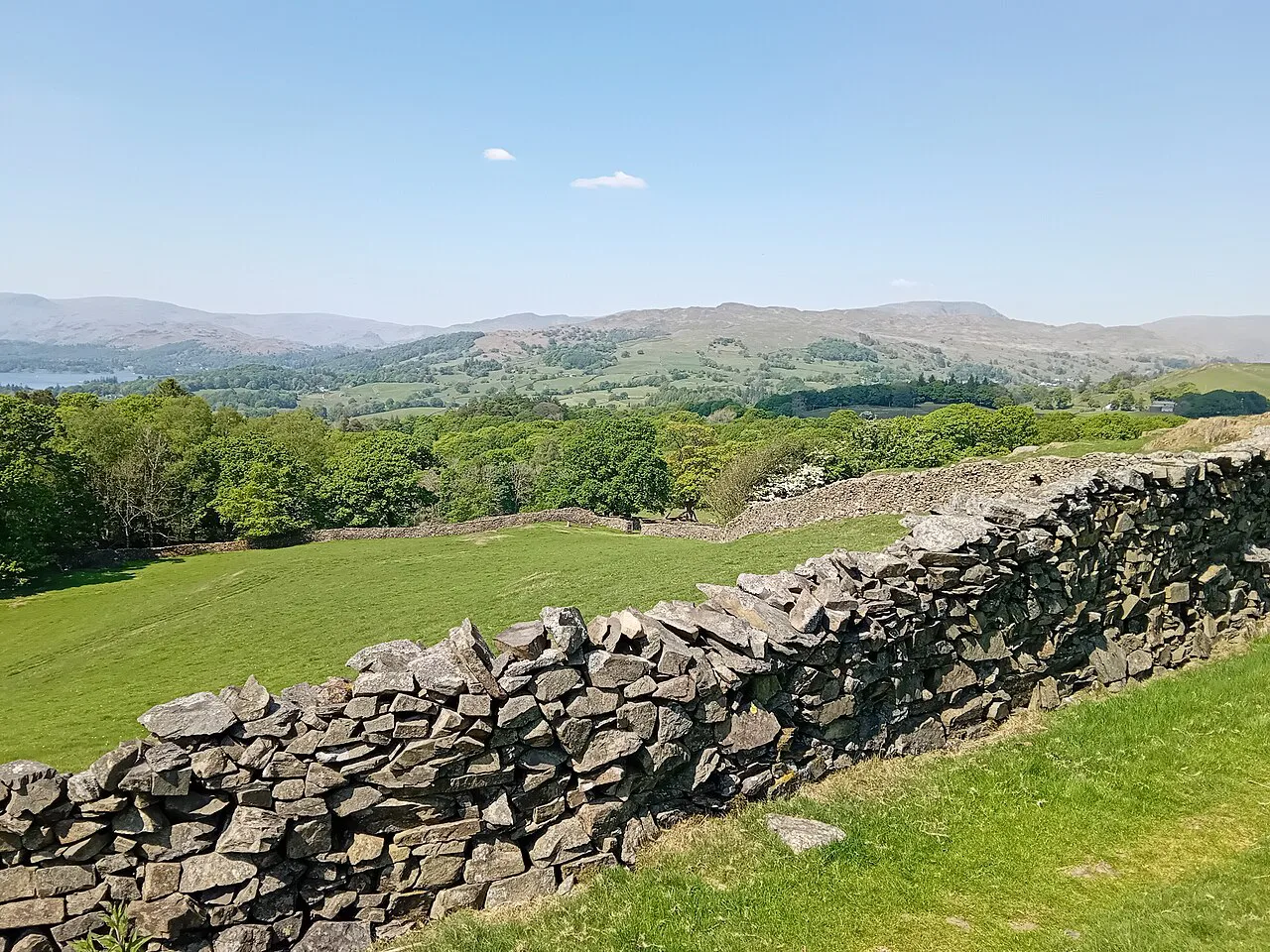
Across the fields the navigation is all walls, stiles and gates: follow the right-hand edge of each field, climb the ladder stiles, and aim for the farm buildings at Far Orrest. Past the farm the track becomes enclosed by walls; keep Allen Knott on your right, climb steadily, then drop to the lane at Fusethwaite Yeat. A short stretch of lane and a left fork lead to the Far Orrest Farm access track, and beyond the farm a stile signposted Windermere via Crosses sends you across more fields and up beside a wall onto Howe Hill.
The return leg: Crosses Farm and Wynlass Beck
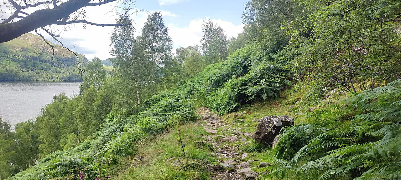
From Howe Hill a track passes cottages to reach the lane at Crosses Farm. Turn left along the lane, and after about 100 metres (110 yards) take the kissing gate on the right into woodland. The signed path crosses Wynlass Beck, edges along the left side of the wood and enters a field, where a signposted exit in the top left corner turns you right with the wall on your right and good views over the fields.
The path then drops to a stile and gate, dives into the trees and descends a track. At a fork keep right between walls to a path junction, turn left alongside a high wall, and follow the descending track back to the A591 and the station. If you are staying in the village, this return lands you within a few minutes of shops and cafés.
What you see from the top
The view takes in Windermere and a long roll call of Lakeland fells. Named on the summit slate are Coniston Old Man, Swirl How and Wetherlam; Crinkle Crags, Scafell Pike and Bowfell; Great Gable, Great End and the Langdale Pikes; and High Raise, Ullscarf and Fairfield. A full turn adds Morecambe Bay to the southwest and the Pennines to the east.
The summit is exposed, so the wind that clears the haze also chills you once you stop moving. Carry a shell even on a warm start, and save the picnic for a sheltered spot on the descent if the top is blowing. The Wainwright connection is worth knowing before you go: this was the first Lakeland summit he climbed, and the rest of his fell-bagging life followed; for the full list, see The Wainwrights.
When to go
The summit pays out in every season, but the view changes character. A clear winter day sharpens the fells, with snow on the distant ridges exaggerating their height and a blue sky reflected in the lake. Soft autumn mornings bring mist over Windermere, with the fringes of woodland turning colour. The walk itself stays within the woods and fields, so it remains a sensible half-day outside high summer.
Spring brings bluebells to the woods around the hill and gardens nearby. Summer weekends bring the crowds, so an early start earns you the summit tablet to yourself. Snow on the path is rare at this height but the steps stay slick after rain at any time of year.
Practicalities: footwear, mud and the A591
The stepped path and the field sections after rain decide your footwear. Trail shoes with grip handle both, but the steps are steep and the fields can be muddy, so boots suit anyone walking the full circuit. Pack a light waterproof; the woodland holds water and the summit is open to wind.
The A591 crossing at the start is short but busy. Cross where the signpost directs and wait for a clear gap rather than stepping out behind a parked car. If you want a longer day out, the Catbells walk gives a similar short climb with a lake panorama, though that one sits above Derwent Water.
Holehird Gardens add-on
Holehird Gardens sit on the hillside nearby and make a natural pairing with Orrest Head: gardens first, fell second. Entrance to the garden is free, though a voluntary contribution of £4 is suggested in the box provided. Allow an hour or two for the walled garden, the tufa house in the alpine section and Highlands Wood, then leave by the fell gate to join the route up Orrest Head.
The combined Holehird and Orrest Head walk comes in at 5.0 miles, so combine them only if you have the time; the pairing makes a good full day rather than a quick outing. From Holehird the return route comes back through ancient woodland and hilly countryside.
Where Orrest Head fits your Lake District itinerary
Orrest Head works best in three slots: an arrival day after a train journey, a short morning before a drive onward, or a family walk when the bigger fells are in cloud. Because the start and finish are in Windermere village, it also slots easily into a day of errands, shopping and a late lunch.
If you later want a full ridge day with scrambling, the Striding Edge route on Helvellyn is the opposite end of the spectrum and demands a settled forecast and an early start. Orrest Head, by contrast, needs no planning beyond the weather and a free half-day.
Plan Your Visit
Decide between two versions before you set out: the direct climb to the summit and back for the view alone, or the full 7.2 km (4.5 mile) circuit through Near Orrest, Far Orrest and Howe Hill if you want a half-day in the fields. Start at Windermere station, cross the A591 carefully, take the right fork at the bench and let the steps do the work.
Pack grip for the steps, a shell for the summit wind and time to read the slate tablet. Add Holehird Gardens if you have a spare hour, and keep a clear winter or misty autumn morning for the best light on the view.
Frequently Asked Questions
How long does the Orrest Head walk take?
The full circuit from Windermere station is 4.5 miles (7.2 km) and takes about 3.5 hours at a moderate pace, before you add time on the summit. If you only want the viewpoint, the direct climb up and back is roughly half an hour each way for a fit walker and makes a relaxed half-day for a family.
Where does the Orrest Head walk start?
The usual start is Windermere railway station. Cross the A591 to the surfaced road signposted for Orrest Head and follow it as it narrows into a lane and then a rough woodland track, taking the right-hand fork at the bench on the way up.
Is Orrest Head a Wainwright?
Yes. Orrest Head was the first Lakeland summit Alfred Wainwright climbed, on his first visit to the area in 1930, and the view from the top is credited with setting him on the path to writing his fell guides. A slate tablet at the summit names the peaks in view.
What can you see from Orrest Head?
The panorama takes in Windermere and a long list of fells, including the Langdale Pikes, Coniston Old Man, Wetherlam, Crinkle Crags, Scafell Pike, Bowfell, Great Gable and Fairfield. A full turn adds Morecambe Bay to the southwest and the Pennines to the east.
Can you walk to Orrest Head from Windermere without a car?
Yes. The route leaves directly from Windermere railway station and the village, so no car is needed. If you drive, leave the car in the village and walk up rather than parking on the residential lanes above it.
Sources
Trail notes for your next trip
Optional updates when we add or revise hiking guides.
You might also like



Continue reading
More guides you'll find useful





