
Ullswater Way Guide: Choose Your Lake District Route
Walk the 20-mile (32 km) Ullswater Way in England's Lake District, section by section, with distances, trailheads, boat links and the best months to go.
On this page
The Ullswater Way is a 20-mile (32 km) circular route around Ullswater, widely counted among the most scenic lakes in the Lake District. It works equally well as a demanding single push or as four separate legs, which makes it a good fit for hikers who want big-lake views without committing to high summits.
Because the circuit can be walked in either direction and joined at any point, you can match it to your fitness and the hours you have. Strong walkers tackle the whole loop; families and casual hikers often pick one waterside leg and ride a steamer back, and anyone weighing this against the region's bigger days out can start with an overview of hiking in lake district before choosing a plan. If you are deciding between regions rather than routes, the Scotland hiking guide covers the same choice of long-distance days and shorter legs elsewhere in Britain.
What the Ullswater Way is
First opened in 2016, the route makes a full circuit of Ullswater, which the source describes as one of the most scenic lakes in the Lake District. It is a 20-mile (32 km) circular path that can be walked in either direction and from any starting point.
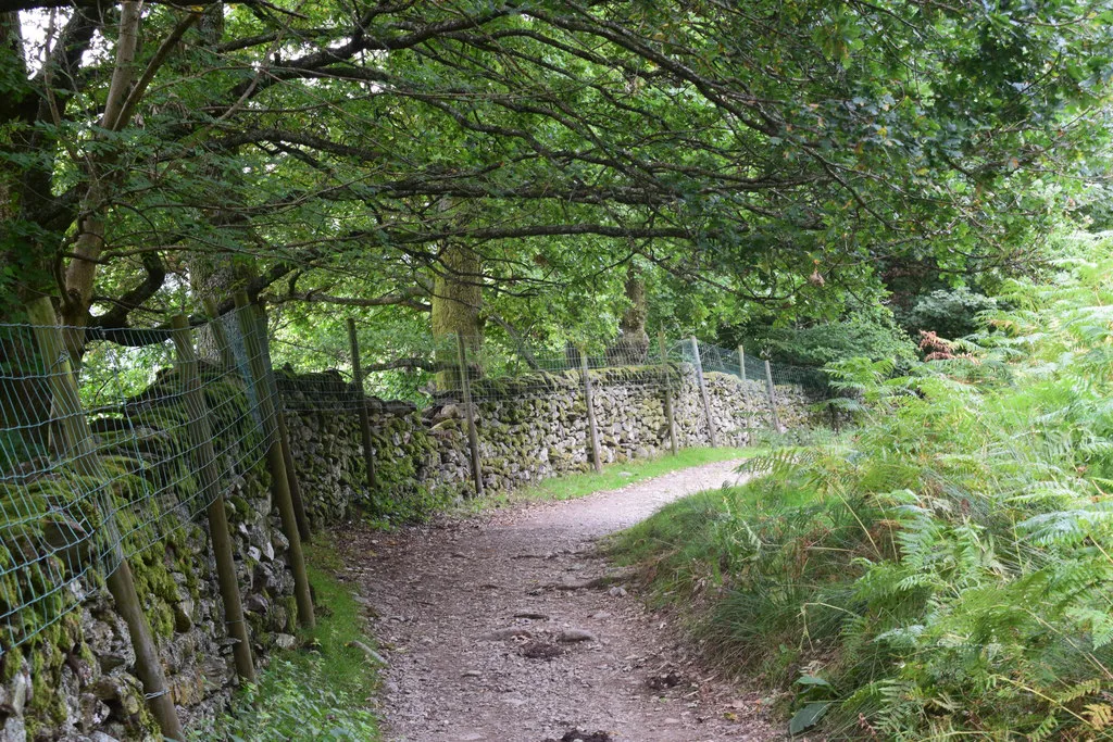
The terrain is varied rather than uniform: undulating footpaths through ancient woodland, rocky stretches near the water's edge, farmland and open fell. Treat it as a low-level but not flat walk, where footing changes from leg to leg.
Where to start the circuit
The natural break points are Glenridding, Howtown, Pooley Bridge and Aira Force, each of which lets you shorten or split the loop. Glenridding suits most hikers: it has the shortest final leg back to the start, so a clockwise walk finishes with 3 miles (5 km) along the shore rather than a long slog.
Starting at Pooley Bridge or Howtown also works if you want a shorter first day or plan to use a boat link. Whatever you choose, the sections stay the same length; only the order changes.
Trailhead and parking
Glenridding and Pooley Bridge both sit on the A592 and act as the main road access points to the lake, with village parking and bus stops. Arrive early in summer, when lakeside parking fills quickly.
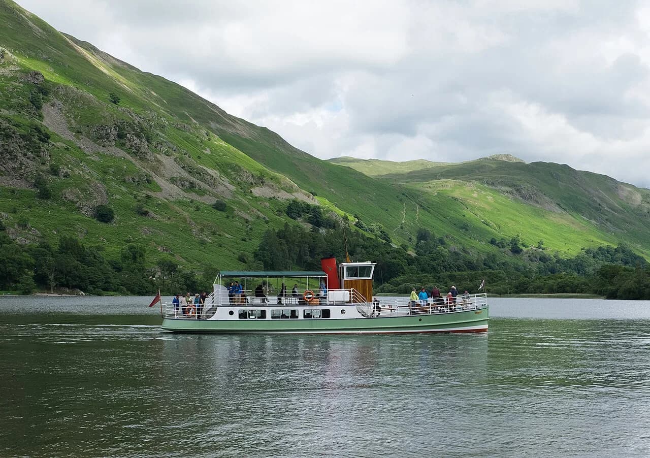
Ullswater Steamers run boats along the lake connecting the shoreline villages, which is the key to walking one-way rather than doubling back. Check the sailing times for your date with Ullswater Steamers before building a plan around a return crossing, as timetables vary by season.
Section 1: Glenridding to Howtown
The Glenridding to Howtown leg is 6.5 miles (10.5 km) of undulating footpath through ancient woodland, with some rocky sections near the water's edge. You get long views down Ullswater towards Pooley Bridge for much of the way.
This is the leg where footing matters most. After rain, the rocky waterside stretches get slippery, so wear shoes with grip and take your time on the wet sections.
Section 2: Howtown to Pooley Bridge
From Howtown the path runs 5 miles (8 km) underfoot through farmland and open fell, passing a working sheep farm and a campsite on the water's edge. It is gentler walking than the rocky first leg, with open views across the lake.
Pooley Bridge at the end gives you cafés and a village centre before you set off again. Dogs should be kept under close control through the farmland.
Section 3: Pooley Bridge to Aira Force
The longest section is Pooley Bridge to Aira Force at 6.5 miles (10.5 km), undulating through woodland and fields. It finishes at Aira Force, a 65-foot (20 m) waterfall cared for by the National Trust, reached by paths beside the beck.
Add the aira force walk to your day if you want a short detour to the falls before continuing. The waterfall paths get crowded in summer and busy after heavy rain, when the water is at its most dramatic.
Section 4: Aira Force to Glenridding
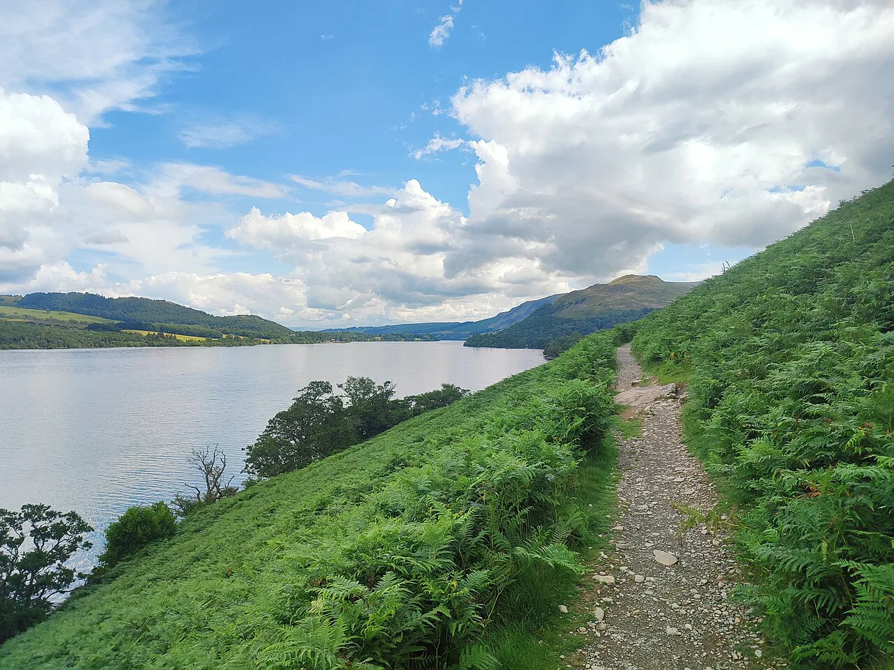
The final leg from Aira Force back to Glenridding is 3 miles (5 km) and, by one account, the hardest of the four to finish even though it is the shortest. It runs through Glencoyne Wood, the woodland that inspired Wordsworth's famous daffodil poem, before a lakeside finish.
Expect a soft shoreline path with lake views, and a wild swim spot near the end if the weather is warm. Save some energy for it; tired legs find this stretch longer than the map suggests.
Extending the day on Gowbarrow Fell
Above Aira Force, Gowbarrow Fell gives hikers who want ascent a way to add height to Section 3. It is a Wainwright summit, so bagging it counts towards the classic fell list that Alfred Wainwright catalogued, and it makes a natural pairing with the rest of the circuit for anyone collecting these summits.
The climb is short and steep, with open views over Ullswater and the surrounding fells. The trade-off is time: add the summit only if you have daylight to spare before the last leg.
Distance and how the sections compare
The four legs total roughly 20 miles (32 km): 6.5, 5, 6.5 and 3 miles. Effort is not simply proportional to distance; the rocky waterside of Section 1 and the dragging final stretch of Section 4 feel harder than their mileage suggests.
For a half-day, pick Section 2 or 4, which are the easiest underfoot. For a full day, walk two legs and use a boat or a second car to return. The full loop needs an early start and steady pace.
When to go
Spring through early autumn gives the longest daylight, driest ground and the best conditions for the waterside sections. The Lake District is wet year-round, so expect muddy farmland and slippery rock after rain regardless of the season.
In winter, early dusk makes the full circuit impractical. Shorten to one section and start early enough to finish in daylight, carrying a head torch as backup.
Huts and facilities on the route
Pooley Bridge and Glenridding are the main resupply stops, with village shops and cafés near the route. The Howtown stretch passes a working sheep farm and a lakeside campsite where you can pause.
Between the villages there are few facilities, so carry water and food for the section you plan rather than counting on refills. Fill up before you leave the villages.
Getting back
If you walk one or two sections, link the circuit with the Ullswater Steamers or a two-car shuttle. The steamers run between the lakeshore villages, so you can end at a different point from where you started.
For the full loop, leave the car at Glenridding and finish where you began. A two-car shuttle is the alternative if you want to split the circuit across two days.
Safety on the waterside path
The main hazards are the rocky sections near the water's edge, slippery ground after rain, and early dusk in winter. Watch your footing on the wet rocks along Section 1 and keep children and dogs away from the steep shoreline drops.
Paths beside the lake can flood or get boggy after heavy rain, so consider a shorter leg if conditions are poor. Carry waterproofs and a head torch even in summer.
Full circuit or a single section
Walk the whole circuit if you have a full day, steady fitness and good weather. Choose a single section if you have a half-day, are walking with children, or want to combine the path with a boat trip.
Section 2 and Section 4 suit an easy half-day; Section 1 and Section 3 reward those with more time and better footing. Either way, the circuit works best when your plan matches your legs, not the other way round.
Walking the Ullswater Way with a dog
If you are bringing a dog, the route descriptions give you a fair picture of what the ground is like underfoot. The stretch from Glenridding to Howtown is an undulating footpath with some up and down stretches through ancient woodlands and some rocky sections near the water’s edge. The 6.5 miles from Howtown to Glenridding is described as one of the best low level walks in the Lake District, which is a useful way to think about the day if you want to keep the walking gentle rather than committing to the full circuit.
The middle and eastern sections cross land where livestock is present. Howtown to Pooley Bridge is undulating underfoot through farmland and open fell, and the path takes you through a working sheep farm and a campsite on the water’s edge. Pooley Bridge to Aira Force, the longest section of the Ullswater Way at 6.5 miles, is undulating and walks through both woodland and fields. Those are the stretches where a lead is the practical choice, whatever your dog’s usual habits.
The full circuit is a 20 mile circular route that you can walk in either direction and from any starting point, so you can shape a dog-friendly day around the section that best suits your companion rather than the whole loop. If you want a shorter outing, the last leg from Aira Force to Glenridding is only 3 miles — though the walker who did it in that order called it the shortest but, in their opinion, the hardest. It passes through Glencoyne Wood and the final stretch meanders near the lakeshore. Whatever you choose, plan on the 20 mile figure being a full day if you attempt the entire circuit.
Plan Your Visit
The Ullswater Way gives you a full-lake circuit without high summits: 20 miles (32 km) in four legs between Glenridding, Howtown, Pooley Bridge and Aira Force. Decide whether you want the whole loop or one leg, then match your start point to the boat and road links back.
Check the Ullswater Steamers sailings for your date before relying on a return crossing, and start early for the full circuit in spring or early autumn. Pack for wet ground and slippery rock whatever the forecast says.
Frequently Asked Questions
How long is the Ullswater Way?
It is a 20-mile (32 km) circular route around Ullswater, split naturally into four legs of 6.5, 5, 6.5 and 3 miles between Glenridding, Howtown, Pooley Bridge and Aira Force.
Can you walk the Ullswater Way in one day?
Yes, strong walkers can complete the full circuit in a day, but it needs an early start and steady pace. Most hikers split it into two days or walk one or two sections and return by boat or a second car.
Where does the Ullswater Way start and finish?
Because it is a circuit, it starts and finishes wherever you join it. Glenridding, Howtown, Pooley Bridge and Aira Force are the natural break points, and Glenridding gives the shortest final leg back to the start.
Is the Ullswater Way signposted?
The route is a waymarked long-distance path opened in 2016, with marks at junctions and along the lakeshore. Carry the Ordnance Survey map or a route line on your phone for the rocky stretches.
Can you take a boat back on the Ullswater Way?
Ullswater Steamers run along the lake and link the shoreline villages, so you can walk one-way and return by boat. Sailing times vary by season, so plan your finish around a crossing you have confirmed.
What is the hardest section of the Ullswater Way?
The final 3-mile leg from Aira Force to Glenridding is often called the hardest to finish, despite being the shortest, because it comes at the end of a long day. The rocky waterside path on the Glenridding to Howtown section is the most demanding underfoot.
Sources
Trail notes for your next trip
Optional updates when we add or revise hiking guides.
You might also like



Continue reading
More guides you'll find useful





