Bodmin Moor Walks: Best Circular Routes and Where to Start
Plan a Bodmin Moor walk in Cornwall: circular routes by distance and difficulty, where each trailhead is, and which season suits the open high moor.
On this page
Bodmin Moor is a granite upland in the center of Cornwall, the source of rivers including the Camel and the Fowey, and it gives walkers a rare mix of open high ground, prehistoric monuments and industrial ruins within routes of under 11 km (6.8 miles). Most circular walks here are graded easy-moderate to moderate-strenuous, so a half-day is enough for a serious summit or a stone-circle circuit.
It suits hikers who want archaeology and mining history underfoot rather than a single dramatic peak, and who are comfortable navigating open moorland where paths braid and disappear. The village-edge circuits through woods and river valleys are the better choice in wet or windy weather, while the high tors reward clear days.
Where Bodmin Moor is and how it is laid out
The moor sits between Camelford in the north, Liskeard and Minions in the southeast, and the A30 corridor along its southern edge. Its high ground clusters around Rough Tor and Brown Willy in the north-center, while the most concentrated cluster of ancient monuments and mining remains lies around Minions and Stowe's Hill.
Rivers radiate outward and cut sheltered valleys at the moor's edges, which is why several routes combine open moor with bluebell woods and churchtowns. Plan a high-moor day and a valley day as two separate outings rather than trying to link them on foot, because the distances between trailheads are road distances, not path links.
Car parks and trailheads: Minions, Rough Tor, Bowithick and the village starts
Minions is the busiest and most convenient base for the southeast moor: the Hurlers stone circles, The Cheesewring and the South Phoenix Mine engine houses all lie within one circular route from the village. The Discovering Britain walk begins at the top of the car park, where information boards and steps lead onto the grassy moor and a broad stony track.
In the north, the Rough Tor and Brown Willy route starts from the moor's northern fringe, while Bowithick gives access to Buttern Hill and the source of the River Fowey. Village starts at Blisland, St Breward, Altarnun, St Clether and North Hill put you straight onto lanes and footpaths without competing for a honeypot car park.
Several routes finish at a pub, including the Old Inn at St Breward, the Rising Sun near Altarnun and options from Blisland and St Clether, which makes them easy to plan around a late lunch. For the Minions area, arrive early in summer, because the village car park is small and the stone circles sit a short walk from it.
Short and easy walks: Blisland to Lavethan Wood, Stannon Moor and Camelford to Watergate
The gentlest introduction is Blisland to Lavethan Wood, a 4.4 km (2.7 mile) easy-moderate circuit from the village through the churchyard and two stretches of Woodland Trust reserve. It stays in sheltered ground, which makes it the sensible pick when cloud sits on the high moor.
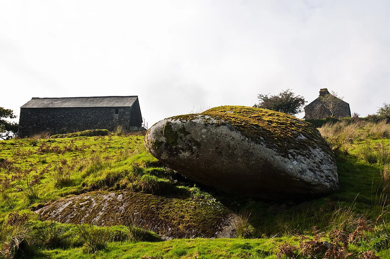
Stannon Moor, a 6.2 km (3.9 mile) easy-moderate loop near St Breward, passes stone circles, burial chambers and a large granite boulder on Louden Hill that rocks gently if you sit on it. It is the best short route for prehistoric remains, with panoramic views across the moor without a sustained climb.
Camelford to Watergate covers 8.1 km (5 miles) at easy-moderate grade through bluebell woods along the Camel valley to the Celtic churchyard of Advent and the Neolithic remains at the moor's edge. All three routes are short enough for an afternoon, but the ground stays rough in places, so wear boots rather than trainers.
The high moor: Rough Tor and Brown Willy
The Rough Tor and Brown Willy circuit is 8.4 km (5.2 miles) at moderate-strenuous grade, a mostly circular route to Cornwall's two highest tors past prehistoric remains including a holy well, summit cairns and settlements. Treat it as the moor's flagship hill day rather than a stroll: the climbing is steady and the top is fully exposed.
Navigation matters here because the upper slopes carry braided paths through granite clitter, and cloud can close in quickly. Carry a map and compass, and turn back if the wind or visibility deteriorates, since there is no shelter between the car park and the tors.
Minions and the Cheesewring: The Hurlers, Rillaton Barrow and the mine engine houses
The Minions and Cheesewring walk is 6.8 km (3.8 miles) at moderate grade, circling The Hurlers stone circles, The Cheesewring and the engine houses of the South Phoenix Mine. A mapped Bodmin Moor and Cheesewring route of 5.5 km (3.4 miles) with about 127 m (416 ft) of elevation gain takes roughly 1.5 to 2 hours, which shows how compact this archaeology-rich corner is.
The Hurlers are three Bronze Age stone circles in alignment, with the two pipers' standing stones nearby, and the Discovering Britain walk interprets them stop by stop from the Minions car park. Continue uphill past lines of lode-back pits to Rillaton Barrow, Cornwall's largest burial mound, before the climb to the Cheesewring itself.
The final approach to the Cheesewring follows an indistinct path up between boulders, and the descent toward the quarry on the far side is steep, so take care in wet or windy weather. Daniel Gumb's cave, tucked among quarry spoil, is a memorial structure built after the original dwelling was lost to quarrying, not the stonecutter's actual home.
Moderate circuits from the moor-edge villages: St Breward, Altarnun and Poley's Bridge
St Breward to King Arthur's Hall is 8.2 km (5.1 miles) at easy-moderate grade across the Treswallock Downs to the curious prehistoric structure, finishing at the medieval Old Inn. The longer St Breward to Advent route runs 10.3 km (6.4 miles) past the granite pillars of Devil's Jump and an 8 ft Celtic cross in the ancient churchyard.
Altarnun and West Moor, 8.8 km (5.5 miles) at easy-moderate grade, crosses downs and open moor where tin-working relics and prehistoric roundhouses remain visible. From Poley's Bridge, an 8.4 km (5.2 mile) moderate circuit follows the Camel Trail past old china clay driers and crosses the De Lank valley and Pendrift Downs to Blisland.
Blisland and Pendrift Downs is the toughest of the village loops at 6.9 km (4.3 miles), moderate-strenuous, through the De Lank granite quarry and past Jubilee Rock, a carved granite boulder. Choose it for the quarry landscape and carved stone rather than for views, which are mostly enclosed by valley sides and boulders.
Quieter corners: East Moor and the Lynher valleys, St Neot
East Moor and the Lynher Valleys is a 10 km (6.2 mile) moderate circuit in one of the least-visited parts of the moor, climbing Fox Tor and passing Bronze Age and Neolithic remains. For that empty-moor feeling with more variety, add the St Neot Two Valleys route, 8.2 km (5.1 miles) at moderate-strenuous grade, through the Loveny valley, bluebell woodland and along the Fowey.
North Hill to Hawks Tor is short but sharp at 5.9 km (3.7 miles), moderate-strenuous, following prehistoric trade routes in the Lynher valley from a village whose granite built Westminster Bridge. These routes reward those who have already seen the honeypots and want archaeology without the crowds.
Distance, ascent and time: how the routes compare
The published circuits span 4.4 km to 10.3 km (2.7 to 6.4 miles), with grades from easy-moderate to moderate-strenuous, but the listed grade reflects ground and climbing as well as length. A short moderate-strenuous route such as North Hill to Hawks Tor can take longer than a longer easy-moderate valley walk, so compare grade first and distance second.
Ascent figures are not published for each route, so estimate from the terrain: the tors and the Cheesewring involve the most climbing, while the Camel and Loveny valley walks stay low. Give yourself roughly three hours for the moderate-strenuous circuits and two for the easy-moderate ones, then add time for the stone circles and mine ruins.
When to go: seasons, weather and ground conditions on the open moor
Late spring brings bluebells to the valley woods on routes like Camelford to Watergate and St Neot, while summer gives the longest daylight for the high tors. Autumn and winter are quieter, but the open moor is exposed to wind and rain, and the granite slabs and boulder paths get slippery when wet.
Afternoon showers build quickly on the high ground, so start early and keep a waterproof shell in your pack even on a bright morning. In low cloud, drop to a village circuit rather than pushing onto Rough Tor or Brown Willy, where the paths are faint and the consequences of a wrong line are greater.
Access, livestock and the moorland landscape
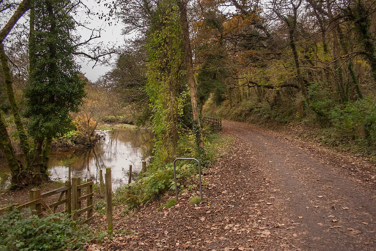
Bodmin Moor is grazed by hardy cattle, sheep and ponies, so keep dogs under close control and give livestock a wide berth, particularly where the path passes between stone walls. The landscape itself is a record of human use: lode-back pits, hut circles and engine houses sit alongside natural granite outcrops, and you will navigate as much by these features as by path junctions.
Paths on the open moor are not waymarked throughout, and some are faint or braided, so carry a paper map at 1:25,000 scale and know how to take a bearing. If you want a different kind of Cornish day out after the moor, the coastal routes and the via ferrata at Goodygrane Activity Centre are covered separately.
Where to base yourself: Blisland, St Breward, Camelford and Minions
Blisland suits the northern villages and the Pendrift Downs circuits, St Breward puts King Arthur's Hall and Advent within a day's walk, and Camelford gives access to the Camel valley routes. Minions is the obvious base for the Hurlers, Cheesewring and the mining landscape, though it has the least choice of accommodation.
If you plan several days in Cornwall, base once on the moor for the archaeology and once on the coast for the South West Coast Path, since driving between the two eats into walking time. Beyond Bodmin Moor, the coast path and the county's wider walking are covered in the Cornwall guide. If you want to keep comparing upland alternatives, our guide to hiking in Dartmoor covers its own granite tors and prehistoric remains.
What to carry on a Bodmin Moor walk
Waterproof boots, a shell, a warm layer and a paper map cover most days here, and gaiters help on the wet, tussocky sections between the tors. Carry water and food for the full route: the high moor has no facilities, and the nearest pub or shop is back at a village such as St Breward or Blisland.
For the low-level circuits, a small pack with a map is enough, but add a compass and a head torch if you are heading onto Rough Tor or Brown Willy late in the day. Mobile coverage is patchy across the moor, so do not rely on a phone as your only navigation tool.
Choosing Your Bodmin Moor Walk
Match the route to the day: Minions and the Cheesewring for archaeology and mining ruins, Rough Tor and Brown Willy for the high-moor summit day, and the Blisland, St Breward or Camel valley circuits when the weather is poor or you want a shorter afternoon.
Check the weather and the state of the ground before setting out, and tell someone your route if you are heading onto the open high moor.
Frequently Asked Questions
What is the best short walk on Bodmin Moor?
Blisland to Lavethan Wood is the shortest of the published circuits at 4.4 km (2.7 miles) and stays on sheltered woodland and village paths. For prehistoric remains on a short outing, Stannon Moor near St Breward covers 6.2 km (3.9 miles) past stone circles and burial chambers.
How long is the walk to Rough Tor and Brown Willy?
The combined circuit is 8.4 km (5.2 miles) and graded moderate-strenuous, visiting Cornwall's two highest tors. It is a full half-day on rough, exposed ground with steady climbing and no shelter on the upper slopes.
Where do you park for the Cheesewring and The Hurlers?
Use the Minions village car park, where the Discovering Britain walk starts at the top of the car park beside the information boards. From there a broad stony track leads onto the moor toward the standing stones.
Are Bodmin Moor walks suitable for dogs?
Dogs can accompany you on these routes, but the moor is grazed by cattle, sheep and ponies, so keep them under close control and on a lead around livestock. Take water for them, since there are no facilities on the open high ground.
When is the best time of year to walk on Bodmin Moor?
Late spring and summer give the longest daylight and dry ground for the high tors, with bluebells in the valley woods in spring. Autumn and winter are quieter but wetter and windier, so save the exposed summit routes for settled days.
Sources
Trail notes for your next trip
Optional updates when we add or revise hiking guides.
You might also like
Continue reading
More guides you'll find useful