Busatte–Tempesta Trail: Lake Garda's Panoramic Cliff Path
Walk the Busatte–Tempesta trail above Lake Garda: a 9.4 km loop from Torbole with steel staircases on the cliffs, 365 m of ascent and about three hours.
On this page
The Busatte–Tempesta trail delivers one of the best views-per-effort ratios on Lake Garda: a low cliff path that keeps the water in sight for most of its length while asking only a modest climb from you. It suits families with steady walkers, casual hikers with half a day in Torbole and anyone who wants a lake panorama without committing to a summit.
The route runs along the eastern Garda Trentino shore between Busatte, above Torbole, and the hamlet of Tempesta to the south, tracing the lower slopes of Monte Baldo at around 200 m (656 ft) above sea level. Most of it is a comfortable path; the memorable part is a sequence of steel steps fixed to the rock walls directly above the lake.
Trailhead and parking
Start at the Panorama K parking area in Torbole and walk up toward the Busatte sports zone and the Busatte Adventure Park, where the signed panoramic path begins. The trailhead sits above the village, so the first stretch is a warm-up through woodland rather than a road walk.
From the adventure park, waymarks for the panoramic path are frequent, and the route soon crosses the sports fields before entering the trees. Signboards at junctions carry the trail name, so you can follow the name rather than a number as you walk south.
Distance, ascent and time
The loop measures 9.4 km (5.8 mi) with 365 m (1,198 ft) of ascent and the same descent, taking about 3 hours 10 minutes of walking time. It is graded easy, and the altitude range runs from 96 m to 371 m (315 ft to 1,217 ft) above sea level, so altitude is never a factor.
Allow closer to four hours with photo stops, a swim stop below Torbole and a pause at the interpretive boards. The elevation is spread over gentle climbs and short stair sections rather than one sustained push, which is why fit families manage it comfortably.
Route description
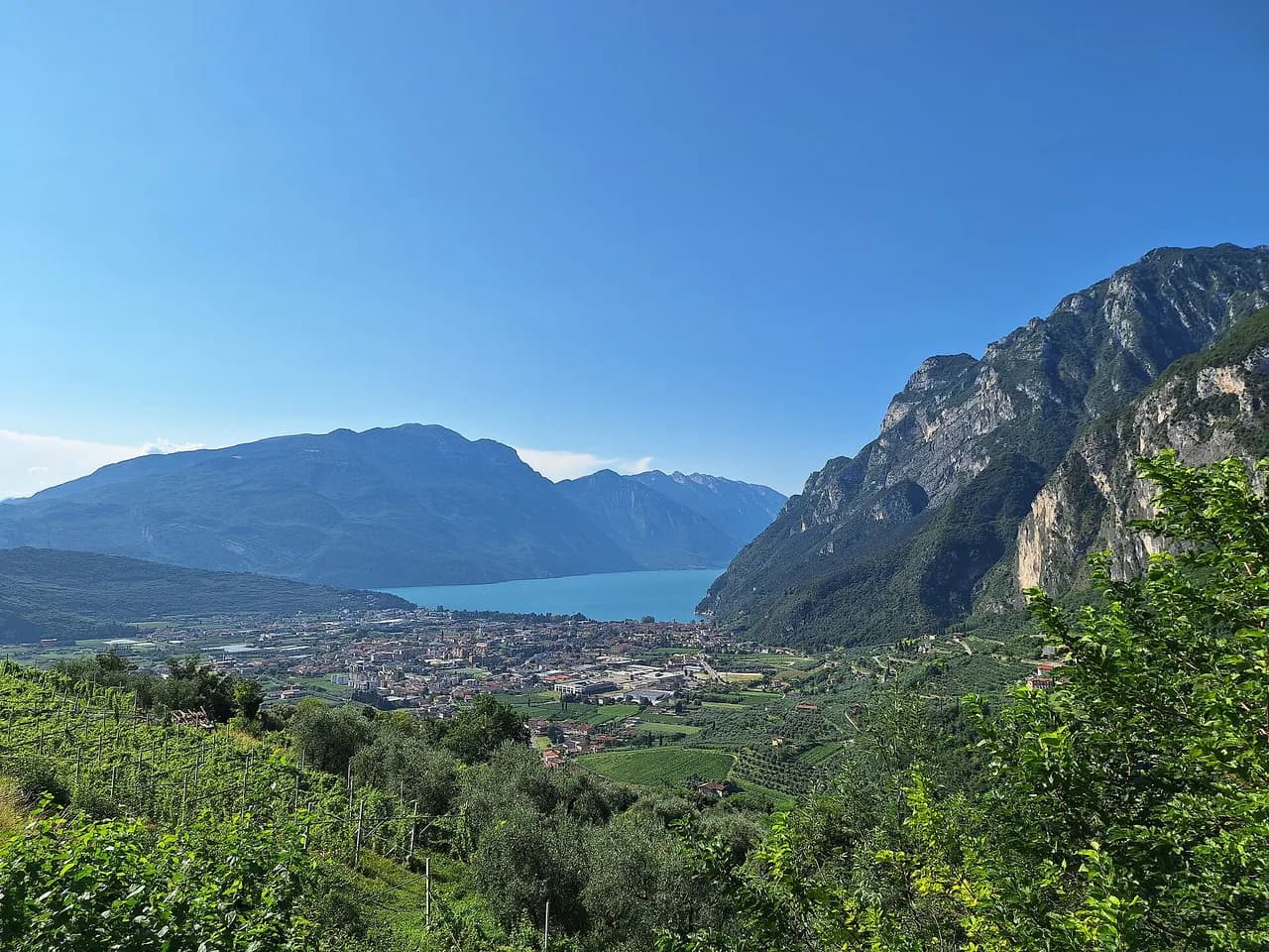
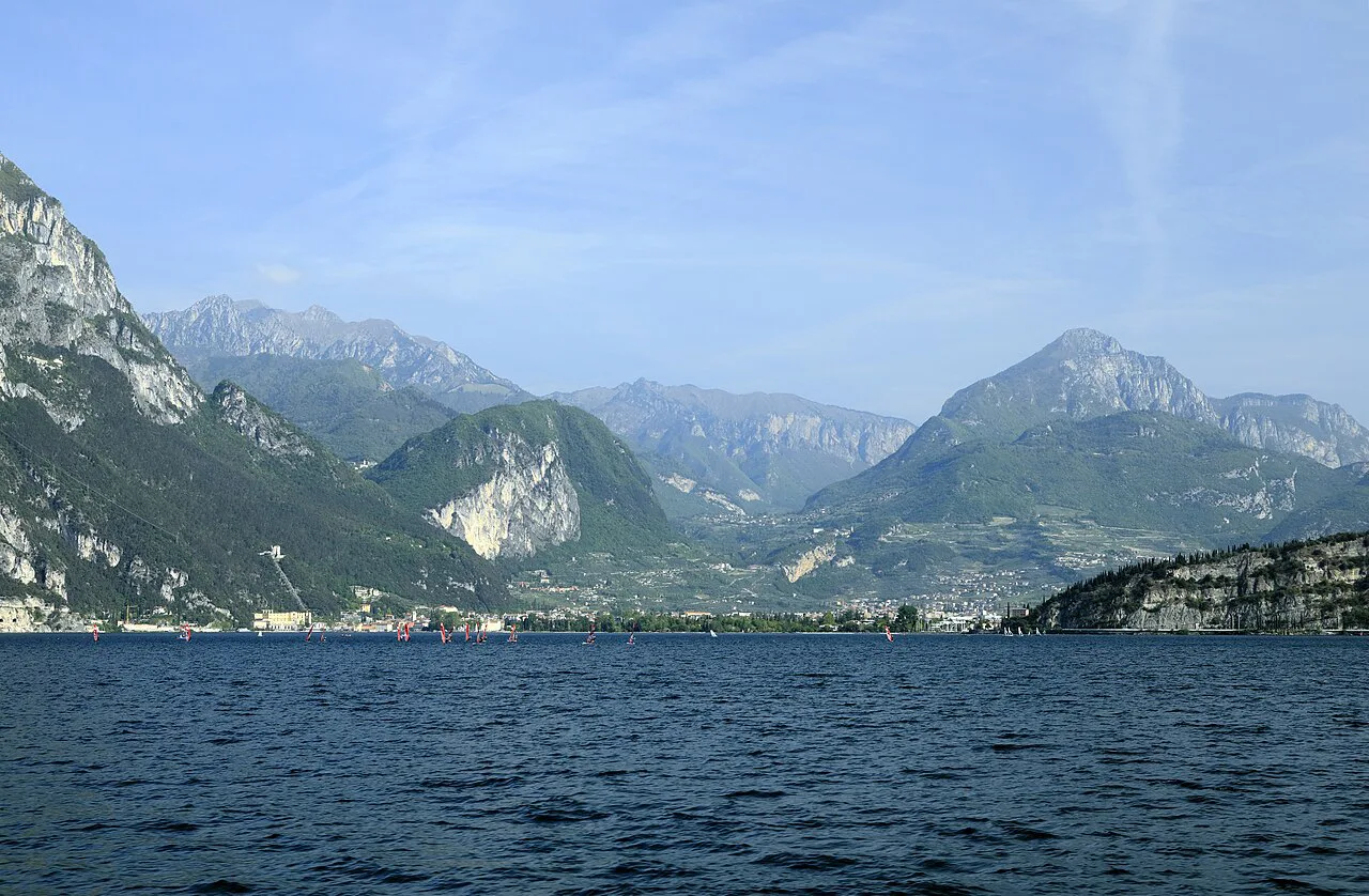
Leave the Busatte area heading south through woodland, following signs for the sports zone and then the panoramic path itself. The first open viewpoint gives a high look down on Lake Garda, Riva del Garda and the boats and windsurfers working the northern end of the lake.
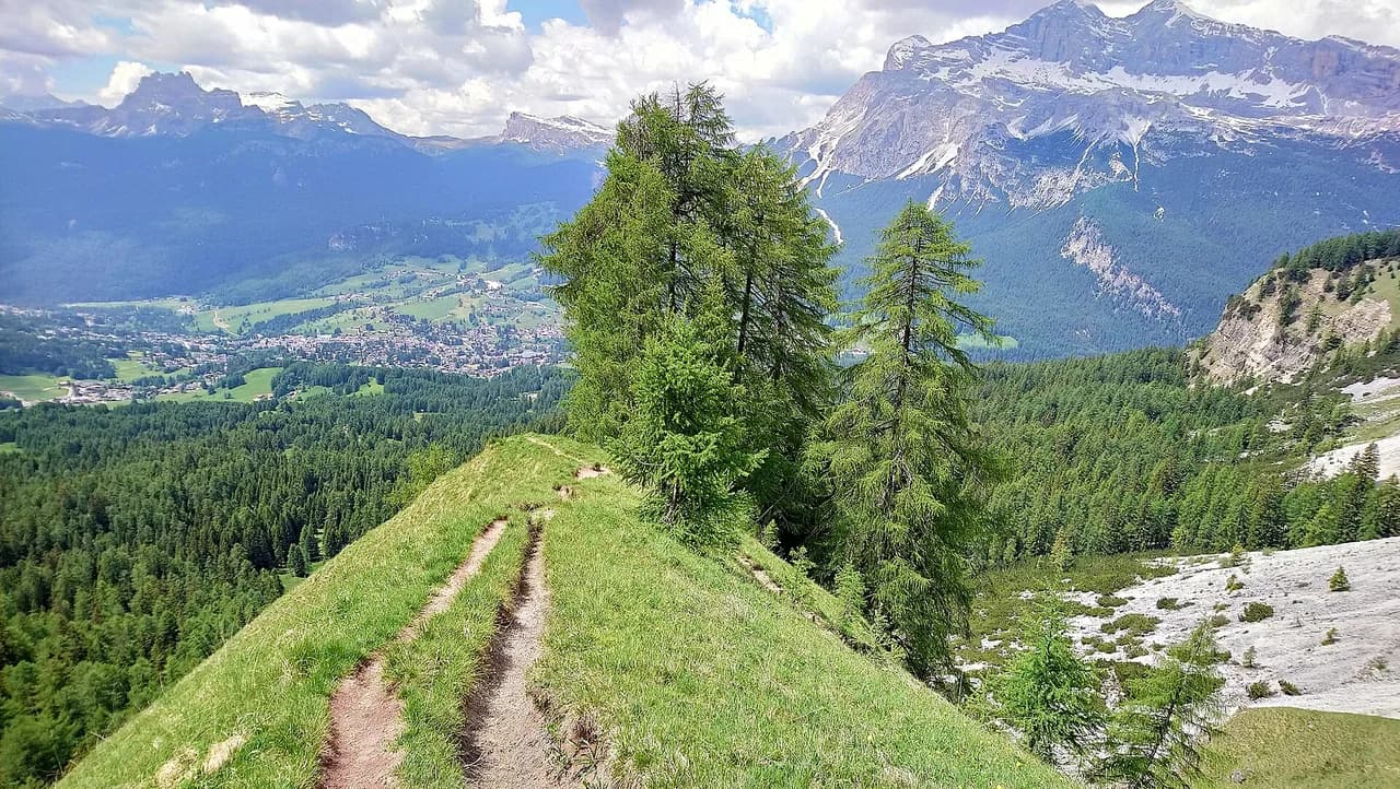
Next comes the Marocche, a belt of glacial debris left by the retreating glacier where the flora and fauna look noticeably different from the surrounding woodland. Before long the trail reaches the rock walls, where steel steps carry you across the cliff face above the lake; information boards explain the flora, the fauna and the views across to Monte Baldo. If the exposure leaves you wanting gentler scenery, hiking in the Dolomites is another option for the same kind of short, view-heavy day.
At a junction beyond the stairs, the marked route bends right, while an alternative branch climbs left toward the north-east onto a forest road that runs parallel and slightly higher. Take that upper variant if you want a quieter, sunnier line with plenty of lake views; stay low on the main path for the closest views and the cliff exposure.
The steel staircases
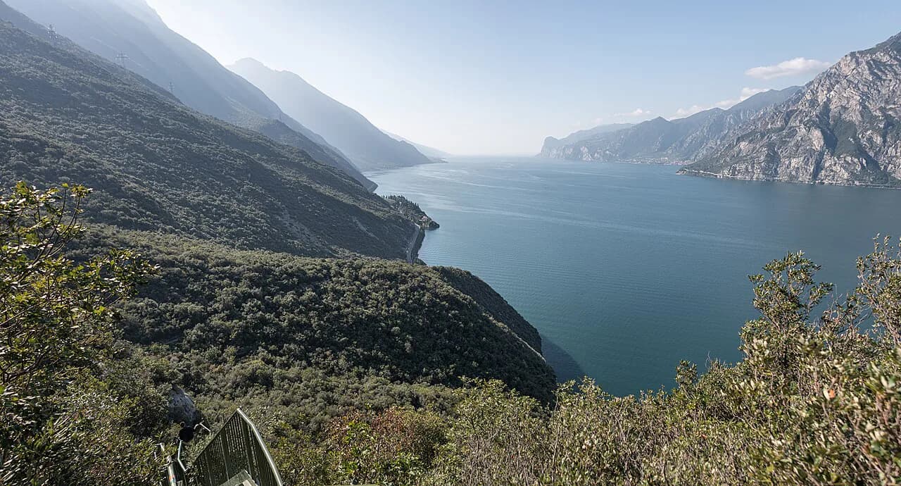
The staircase section uses steel steps wedged into the rock walls a short way above the water, with handrails at the side and a clear, narrow line to follow. There is genuine exposure here: the drop to the lake is direct, and one foot follows the other on the ladders, so hold the rail and keep moving steadily.
Listen for approaching walkers and let them pass at the wider landings rather than on the steps themselves. Anyone who dislikes heights can walk the upper forest-road variant instead and still reach Tempesta, trading the ladders for a longer, gentler line across the slope.
Marocche and Monte Baldo
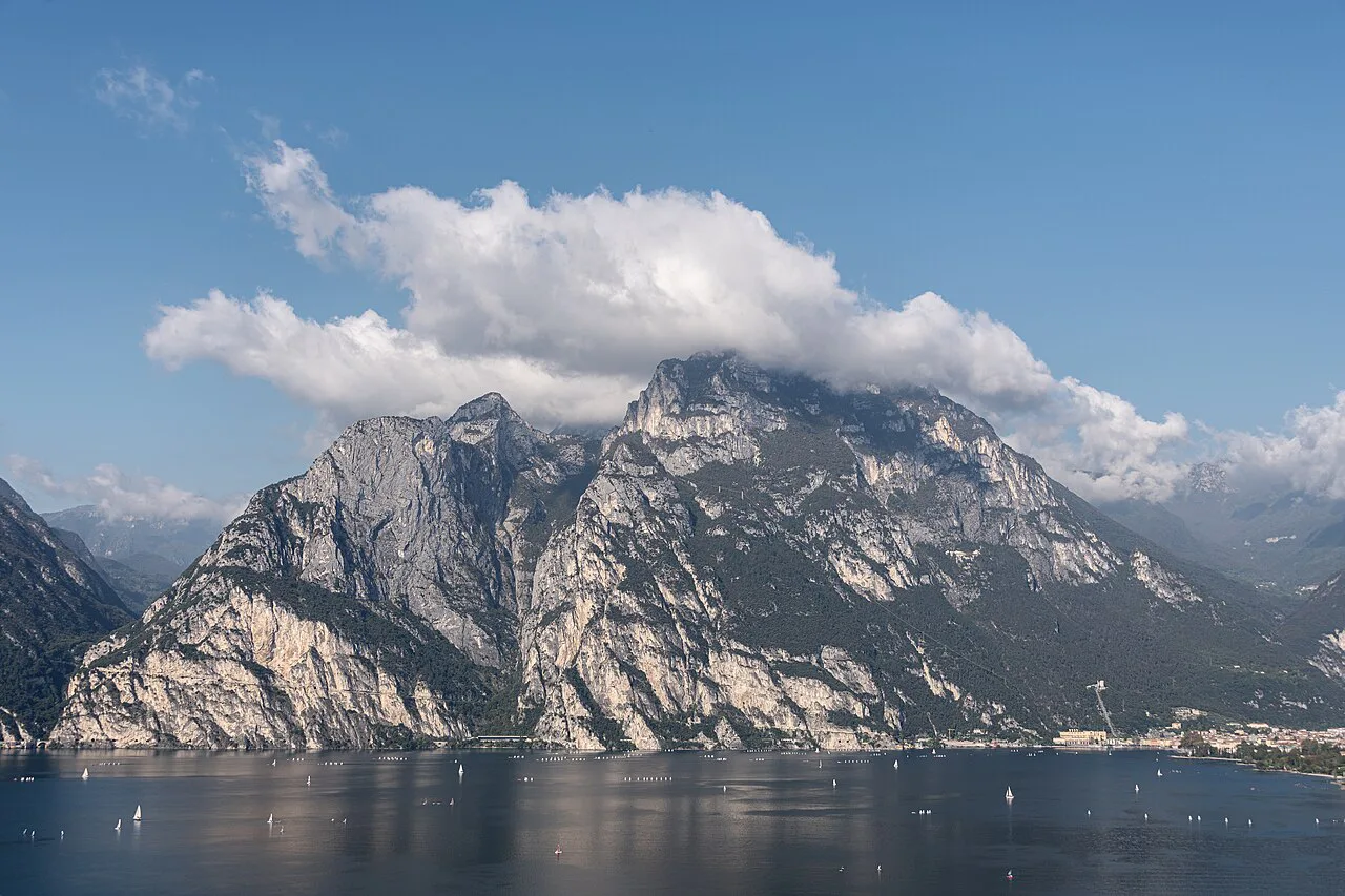
The Marocche are the boulder-strewn remnants of the last glacial era, and the interpretive boards along this stretch point out the unusual plants and animals that colonized the stones. It is a short geological interlude between the woodland and the cliff, and the open ground gives another clear view across the lake to Riva and Torbole.
The trail runs beneath the slopes of Monte Baldo, and the views shift constantly between the water, the boats and the mountains on the far shore. Read the panels if the landscape looks strange; the glacial debris is the reason the vegetation here differs from the rest of the route.
When to go
This is a spring and autumn walk, best when the air is clear and the low path stays comfortable, and the local guidance is to avoid the hottest summer days. The path lies directly above the water in full sun for long stretches, so in summer start early and carry more water than you think you need.
In summer, the early morning and late afternoon are the sensible windows, and a swim at the end below Torbole is the reward. Afternoon storms can build over Monte Baldo even on warm days, so turning back when the clouds thicken is the right call on an exposed cliff path.
Huts, water and facilities
Busatte has the adventure park and the sports zone, which means toilets and open ground at the start, and from there the route is a simple day walk. Carry water from Torbole and treat the interpretive boards and viewpoints as the main stops until Tempesta.
For a short detour or a second day on the same shore, the lake's other classics pair well with this loop, and there is plenty more hiking in Lake Garda if you want to extend your stay. Serious scrambling on this mountain deserves its own day and different gear, so keep the via ferrata routes for a separate outing.
Getting back to Busatte
From the junction past the last rock section you rejoin the main path and retrace it north to Busatte and the parking area. The alternative is to descend to Tempesta and catch the line bus back to Torbole, which shortens the return; the bus is a normal public service rather than a trail shuttle.
Walking the upper forest road back gives you a different line across the slope and keeps you above the crowds on the stair section. Whichever return you choose, the loop closes at Busatte with a short walk down into Torbole.
Where to base yourself
Torbole is the natural base: the trailhead is just above the village, the lake is on the doorstep and the return leg is short. Riva del Garda at the north end of the lake gives you a wider choice of evenings and a short drive or cycle to Torbole, while Nago above the shore is quieter and closer to the higher paths.
If you want a second summit day, the Monte Baldo hike takes you high above this shore on lift-served trails, and the Ponale Trail runs on the western side of the lake for a contrasting balcony route. Check lift operating dates before planning a Monte Baldo day outside the summer season, since the trail itself stays open.
What to wear and bring
Grippy shoes with a decent sole are the key item for the steel steps, where the tread matters more than ankle support. Add sun protection, a hat and a litre or two of water, because the cliff stretch offers no shade or refill.
A light layer handles the wind on the exposed sections, and trekking poles are handy on the short climbs but need stowing on the ladders. For technical terrain elsewhere on the lake, the Lake Garda Via Ferrata routes require a harness, helmet and lanyard, and a guide is worth it if you have never clipped in before.
Plan Your Visit
The Busatte–Tempesta trail is the half-day walk to choose in Torbole when you want big lake views without a big climb: 9.4 km, an easy grade and steel steps that make the cliff section memorable. Start early in warm weather, carry water, and pick the upper forest road if the ladders or the exposure are not for you.
Frequently Asked Questions
How long does the Busatte–Tempesta trail take?
The circuit takes about 3 hours 10 minutes of walking time over 9.4 km (5.8 mi). Allow closer to four hours with stops at the viewpoints, the interpretive boards and the staircases, and more if you add a swim below Torbole.
Where do you park for the Busatte–Tempesta trail?
Use the Panorama K parking area in Torbole, then walk up through the village to the Busatte sports zone and adventure park, where the signed panoramic path starts. The trail returns to the same point if you walk the full loop.
Can you take a bus back from Tempesta to Torbole?
Yes. A public line bus connects Tempesta with Torbole, so you can descend to the hamlet and ride back instead of retracing the path. Confirm the current departure times with the local transport operator on the day.
Is the Busatte–Tempesta trail suitable for families?
It is graded easy and suits families whose children are steady on their feet, with gentle climbs and short stair sections rather than one long ascent. The steel steps above the lake are exposed, so hold hands there or take the upper forest-road variant instead.
When is the best time to walk the Busatte–Tempesta trail?
Spring and autumn are the best seasons, with clear air and comfortable temperatures on the low cliff path. In summer, start early or walk late, since much of the route sits in the sun above the water.
Are there steep sections on the Busatte–Tempesta path?
The path is mostly gentle, but the steel staircases cross rock walls directly above the lake and are exposed, with handrails to hold. The upper forest-road variant avoids the ladders and keeps the climb gentler.
Sources
Trail notes for your next trip
Optional updates when we add or revise hiking guides.
You might also like
Continue reading
More guides you'll find useful