Wengen to Lauterbrunnen Hike: Route, Descent and Train Back
Walk from car-free Wengen down to Lauterbrunnen through meadows and woodland, with Staubbach Falls in view, then ride the Wengernalp Railway back up.
On this page
This walk drops from Wengen, a car-free village on a sun terrace above the Lauterbrunnen Valley, to the valley floor at Lauterbrunnen, with the Staubbach Falls and the long wall of cliffs in front of you for most of the way. It suits hikers who would rather spend their energy on the view than on climbing, because nearly all of the height is lost rather than gained.
The route is short enough for an afternoon and can be stitched into a bigger valley day, but it is not a flat stroll: a steep wooded section near the bottom demands care, especially when the ground is wet. Plan the train back up before you set off so the descent stays a pleasure rather than a route-finding problem at the end of the day.
Where the walk goes
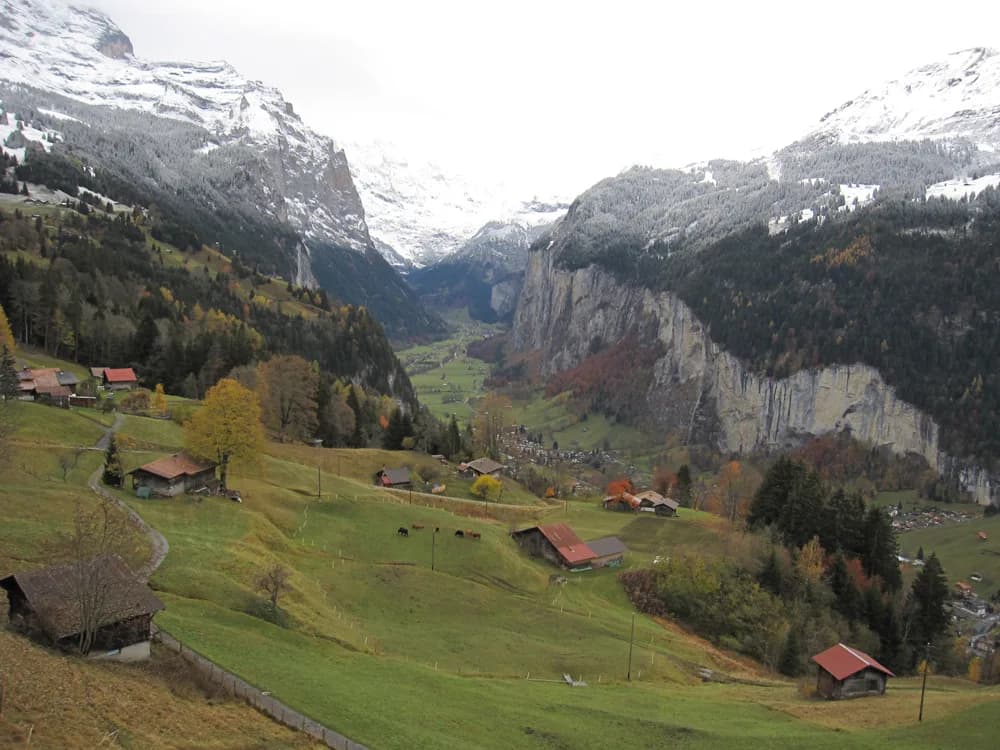
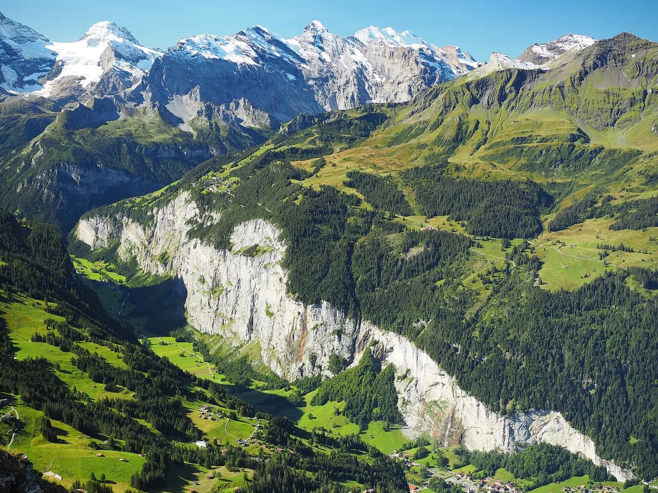
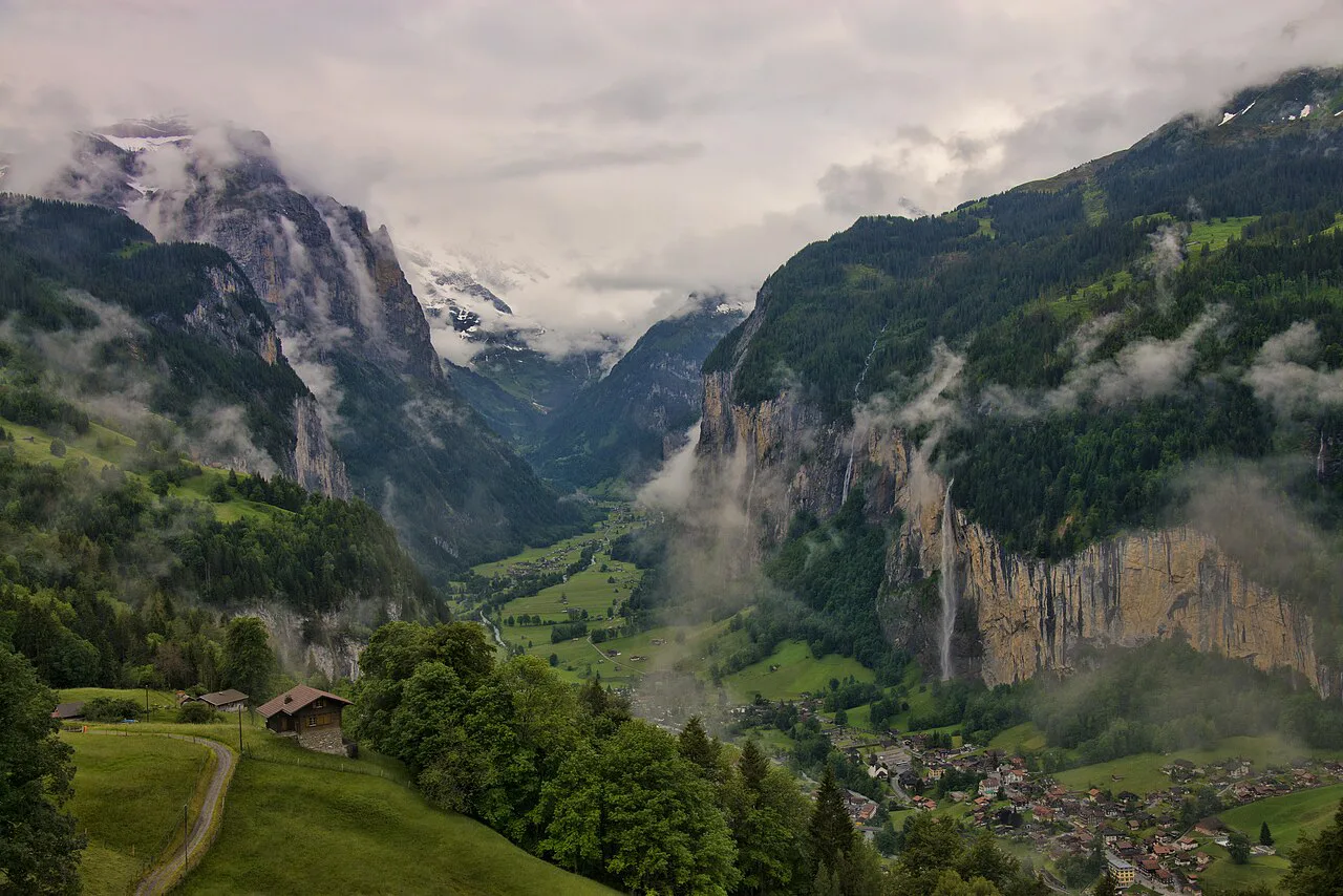
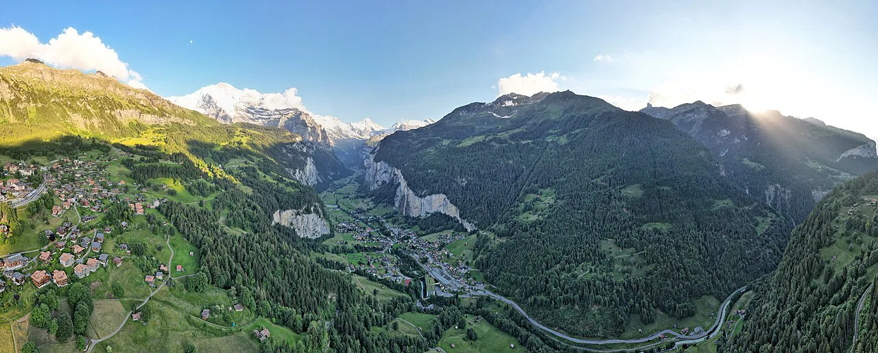
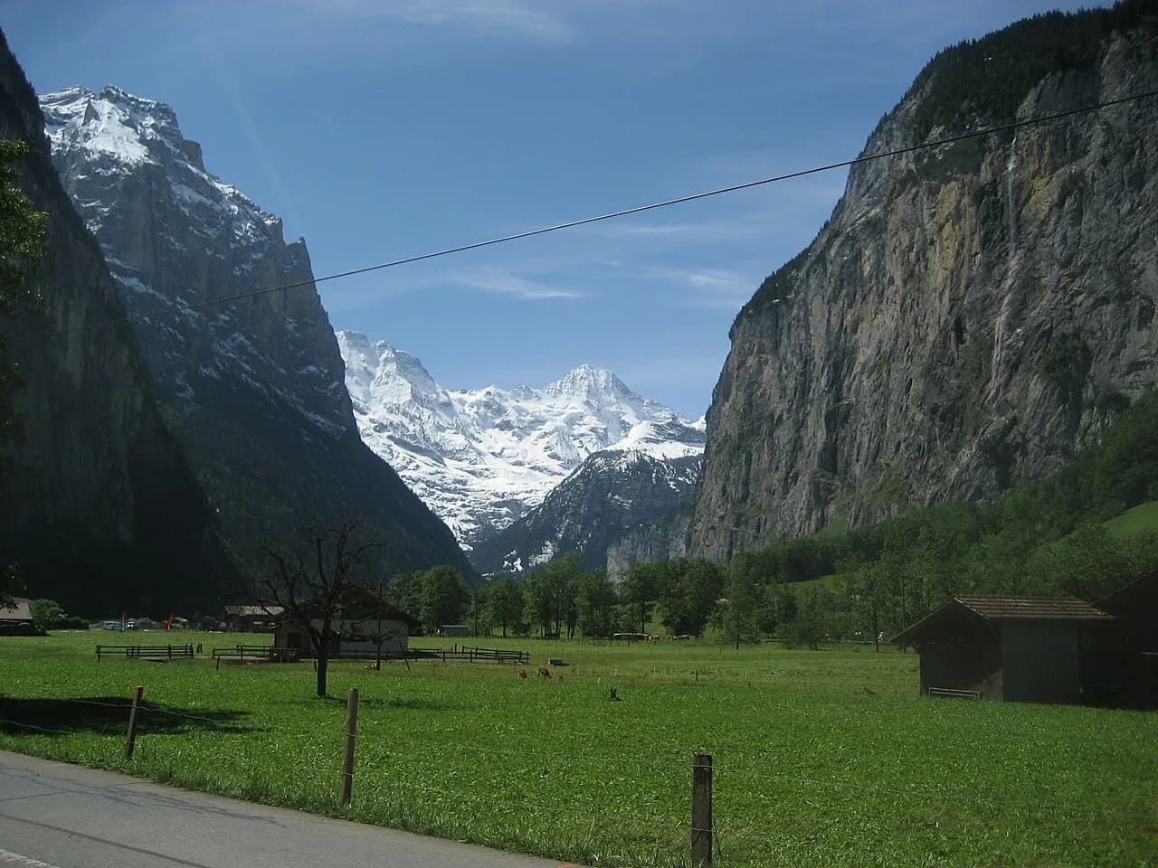
Wengen sits on a broad shelf above the Lauterbrunnen Valley in the Bernese Oberland, and the walk leaves the village and works down the mountainside toward the valley floor. The line of cliffs on the far side, the Lauterbrunnen Wall, stays in view for much of the descent, and the waterfalls that fall from it give the route its constant reference point.
Treat it as a deliberate one-way descent rather than an out-and-back. The gradient points downhill from the first step, so the walking is easier on the lungs than the knees, and hikers with a reasonable level of fitness will find the distance manageable. Anyone with dodgy knees should read the footing notes below before committing.
Trailhead and access
Wengen is car-free apart from local traffic, so the day begins with a mountain railway ride rather than a drive to a parking lot. Most hikers arrive on the train from Lauterbrunnen and start the walk at the station in the middle of the village, which means you buy your ticket up before you have walked a step.
The station square is the natural assembly point: the main street runs through the village from there, and the route turns off it within a few minutes. Allow time before your train leaves to walk the street and get your bearings, because the signposting at the start is easier to follow once you know which side of the village you are on.
Route description
From the station, walk along the main street and then turn sharp left onto a minor road that passes St Bernard's Church and leads out of the village. This opening stretch is on tarmac and gentle, with the valley opening up ahead and the waterfalls on the opposite wall already visible.
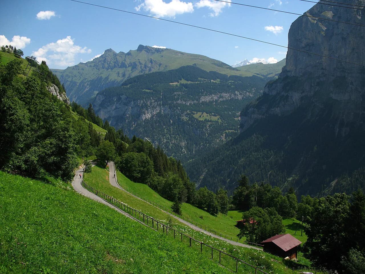
Beyond the village the path drops away from Wengen and crosses the railway line at Wengwald, a request-stop station on the line between Wengen and Lauterbrunnen. The route weaves around the mountainside here rather than plunging straight down, which takes some of the sting out of the gradient and keeps the valley views open.
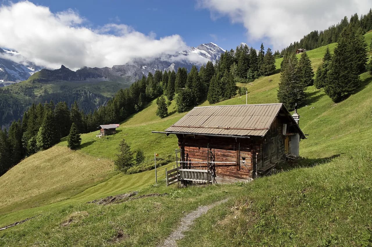
After Wengwald comes the steepest part: a long descent through woodland and meadows, waymarked and generally clear, before the path reaches a quiet lane that leads into Lauterbrunnen village. The surface in the trees is the place to watch your footing, since roots and loose gravel are the main hazards on an otherwise straightforward route.
Distance, descent and walking time
The walk covers about 2.6 mi (4 km) with roughly 1,600 ft (490 m) of descent from Wengen down to Lauterbrunnen. Walking time is typically 1.5 to 2 hours at an easy pace, with stops for the viewpoints adding a little more.
Almost all of the height change is downhill, so the effort sits in your quads and knees rather than your lungs. Budget the shorter end of that range if you walk regularly and the longer end if you stop often for photographs of the valley wall.
The waterfalls
The Lauterbrunnen Valley is famous for the number of waterfalls that drop from its surrounding cliffs, with Staubbach Falls the best known and the third tallest in the valley at 297 m. The walk gives you repeated views of the falls across the valley rather than a close approach, so the best photographs come from the open stretches between the village and the trees.
Trümmelbach Falls sits further up the valley and is a separate visit rather than a stop on this route. If you want to combine the two, plan the waterfall visit for the valley floor after the descent and before the train back up.
When to go
The walking season here runs from April to October, with spring bringing meadow flowers and long daylight and autumn offering clearer, lower light on the valley wall. Summer is the busiest period on the trains and paths, so an early start buys quieter woodland and softer light on the falls.
Rain changes the character of the descent more than the season does. The wooded section holds moisture and the gravel on the lane gets slick, so a waterproof jacket and shoes with real tread matter more in a wet October than in a dry July.
Knees and footing
Nearly 1,600 ft of downhill in a couple of hours is harder on the joints than the distance suggests, so hiking poles are worth packing even though the climb is negligible. Shorten your stride on the steep wooded stretch and take the lane into Lauterbrunnen at an easy pace rather than pushing through tired legs.
Loose gravel on the woodland path and wet roots after rain are the two places to slow down; both are passable in ordinary hiking shoes, but the descent punishes carelessness more than it punishes a lack of fitness.
Getting back to Wengen
At the bottom, Lauterbrunnen station is a short stroll from the point where the path reaches the village lane, and the Wengernalp Railway runs back up the mountainside to Wengen. That rail leg turns the walk into a one-way traverse and saves you the climb you just descended.
For a longer day in the valley, the trail can serve as a single downward leg rather than the whole outing; the rail line links Wengen with Kleine Scheidegg and the Mürren side of the valley is reachable by cable car from Lauterbrunnen. If you want a more vertical challenge in the area, the Lauterbrunnen via ferrata is a separate outing with its own equipment requirements.
Wengen practicalities
Because Wengen is car-free, there is no parking lot to aim for at the trailhead, and the village streets are quiet enough to walk with a daypack without traffic. The station area has the facilities you would expect of a mountain village of this size, and it is the obvious place to regroup before the descent.
Buy your ticket up to Wengen as part of the same journey as the return from Lauterbrunnen, then start walking downhill from the station rather than hunting for a separate trailhead. Check the day's rail service on the Wengernalp Railway site before you rely on the last connection.
Plan Your Visit
The Wengen to Lauterbrunnen walk suits hikers who want a short, view-rich descent with a train at the bottom, and it works well as an afternoon leg inside a longer Bernese Oberland trip. If you would rather base yourself outside the valley for a few days of similar walks, compare it with hiking in Interlaken, which covers the day hikes and trailheads around the next valley. Start at Wengen station, follow the village street past the church, watch the crossing at Wengwald and enjoy the long run into the valley.
Pack poles for the downhill, keep an eye on the weather, and confirm the Wengernalp Railway timetable before you set out so the ride back up fits the day you have planned.
Frequently Asked Questions
Is there a trail from Wengen down to Lauterbrunnen?
Yes. A waymarked path leaves Wengen and descends the mountainside to Lauterbrunnen village on the valley floor, passing St Bernard's Church and crossing the railway at Wengwald before the steeper wooded section near the bottom.
How far is the Wengen to Lauterbrunnen walk?
The descent covers about 2.6 mi (4 km) with roughly 1,600 ft (490 m) of loss in height. Because almost all of the height change is downhill, it is shorter and easier on the lungs than the numbers might suggest.
How long does the walk take?
Most hikers take 1.5 to 2 hours on the descent, plus stops for photographs of Staubbach Falls and the valley wall. Poles and a steady pace make the steep woodland section faster and kinder to the knees.
Is the Wengen to Lauterbrunnen hike downhill?
Yes, it is a one-way descent from the terrace village of Wengen to the valley floor. The climb comes back by rail on the Wengernalp Railway rather than on foot.
Can you take the train back from Lauterbrunnen to Wengen?
Yes. Lauterbrunnen station is a short walk from where the path reaches the village, and the Wengernalp Railway runs back up to Wengen. Check the day's timetable with the railway before relying on the return leg.
When is the best time for this walk?
April to October is the walking season, with spring meadows and autumn light as the two highlights. Wet weather makes the wooded descent slippery, so waterproof footwear matters more than the month.
Sources
Trail notes for your next trip
Optional updates when we add or revise hiking guides.
You might also like
Continue reading
More guides you'll find useful