Dingli Cliffs Walk: Route, Distance and Where to Start
Plan a walk along Dingli Cliffs in Malta: loop distances, ascent and walking times, where to start from Dingli or Mdina, and the Fawwara extension.
On this page
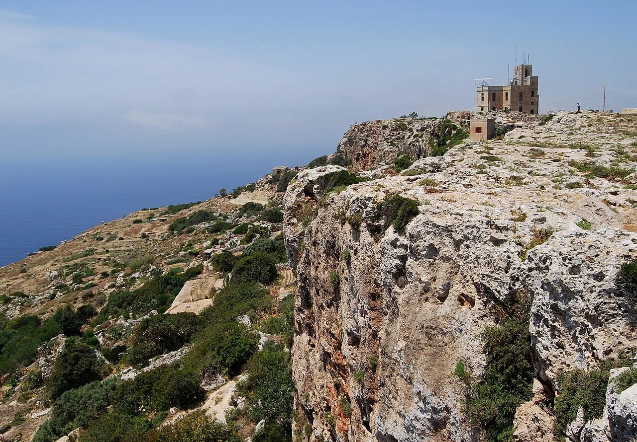
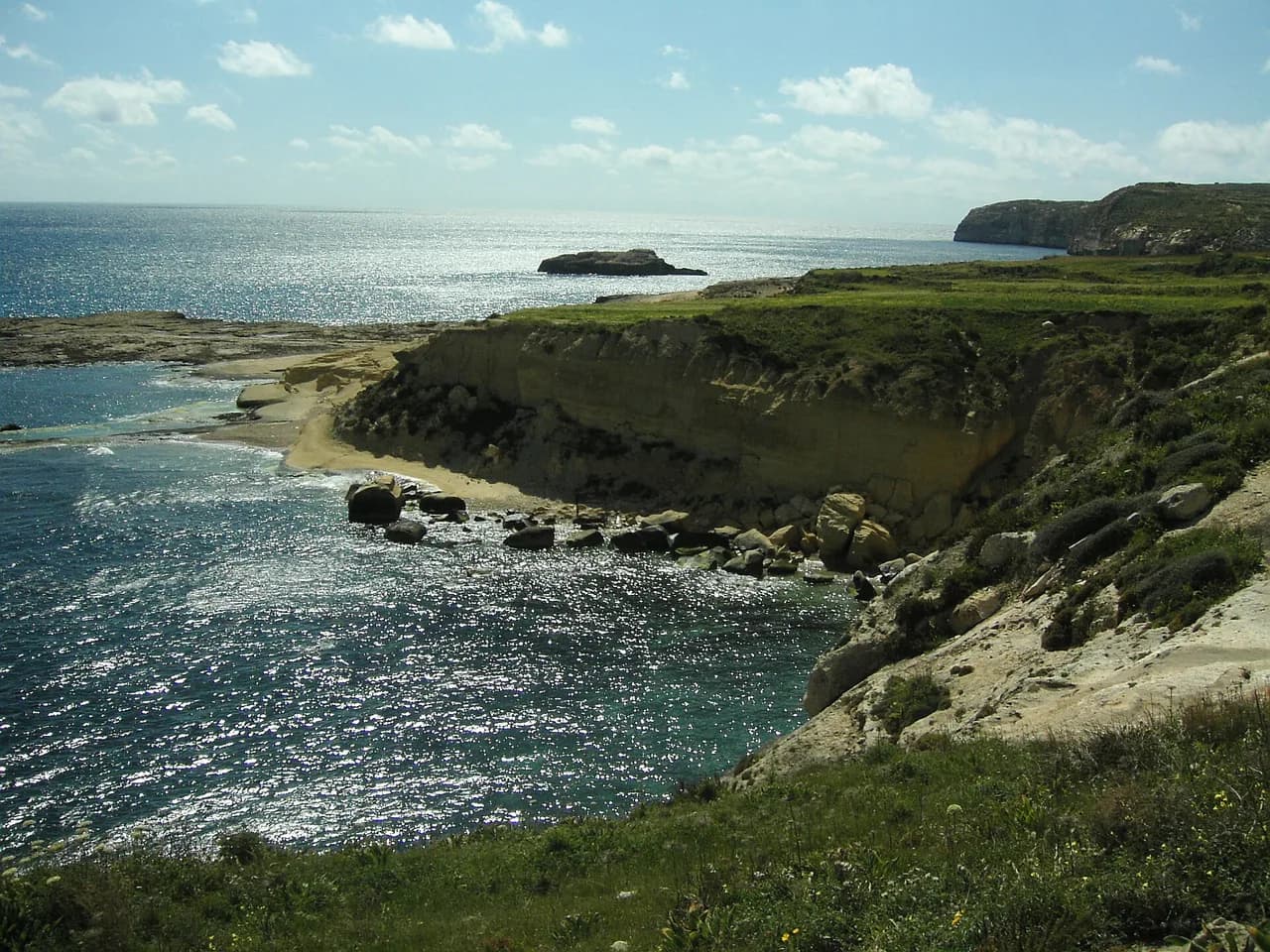
Dingli Cliffs give you the closest thing Malta has to a mountain edge: a limestone escarpment running above the Mediterranean, with open views south toward the islet of Filfla. The walking is modest in gradient but constant in exposure, so it suits hikers who want big views and a half day outdoors rather than a hard climb. Choose the short cliff loop if you have two hours, or the longer circuit if you want a full morning or afternoon on your feet.
This guide sets out the two main loop options measured from Dingli and from Mdina, the Fawwara trail as a natural extension, and the practical question of where to leave the car or catch a bus. It is part of a wider set of routes covered in the hiking in Malta guide, which places the cliffs alongside the island's other walking areas.
What the Dingli Cliffs walk offers and who it suits
The appeal is the edge itself: a raised plateau at roughly 250 m (820 ft) of elevation, a path that follows the rim, and uninterrupted sea views for most of the way. The terrain is easy underfoot on the cliff-top sections, so the walk rewards fitness with distance covered rather than with technical difficulty.
That makes it a good fit for mixed-ability groups, casual walkers who want a scenic two-hour outing, and stronger hikers who prefer a four-hour circuit. It is less suited to anyone hoping for a summit day or a rugged scramble, because the climbing on every version of the route stays small.
If you are building a longer trip around walking rather than sightseeing, the cliffs work well as one day among several; malta walking holidays pair this kind of short coastal and cliff route with gentler inland days.
Where the cliffs are and how the walk is laid out
Dingli sits on the west coast of Malta, inland from the sea and roughly halfway down the island's western side. The cliffs form the western rim of the plateau above the village, and the walking follows that rim north and south before looping back through the fields behind it.
Komoot lists three marked loop options: a short 4.68 km (2.9 mi) circuit from Dingli, a 14.8 km (9.2 mi) circuit from Dingli, and a 15.7 km (9.8 mi) circuit from Mdina. All three use the same cliff-top corridor; the longer versions simply add more distance along the edge and more approach walking.
Because the loops are circuits, you finish where you start, which simplifies transport. The trade-off is that the Mdina start adds several kilometres of inland walking before you reach the cliff edge, and that approach is the least scenic part of the day.
Trailhead and starting points: Dingli village and Mdina
Dingli village is the natural trailhead: it sits right below the cliffs, so the short loop begins with almost no approach walking. Arriving by car, you park in or near the village and walk out to the rim; buses serving Dingli drop you in the same place, and the local operator publishes current routes and times.
Mdina is the alternative base, and it suits anyone staying in the old capital or in nearby Rabat. Starting there means the walk begins with an inland stretch across the plateau before reaching the cliffs, so you get a longer day but spend more of it away from the sea views.
If you are weighing the cliffs against other shoreline routes on the island, malta coastal walks covers the alternatives and makes the comparison between cliff-top and beach-level walking easier.
Short loop option: distance, ascent and time
The short circuit from Dingli is 4.68 km (2.9 mi) with about 60 m (197 ft) of ascent, listed at roughly 1 hour 16 minutes of walking. It is rated easy, on accessible paths suitable for all skill levels, and gives you the cliff edge and the sea views without committing a whole morning.
This is the version to pick if you are fitting the walk around sightseeing, walking with children, or testing whether the exposure on the rim suits you. The climbing is negligible, so the only real cost is the time you spend on the edge itself.
Allow extra time beyond the walking figure for stops at the viewpoints; the listed time assumes steady movement, and the best parts of this route are the places where you slow down.
Longer loop option: distance, ascent and time
The long circuit from Dingli runs 14.8 km (9.2 mi) with 200 m (656 ft) of ascent, listed at about 4 hours 1 minute and rated moderate with good fitness required. The Mdina version is slightly longer at 15.7 km (9.8 mi) with 210 m (689 ft) of ascent and about 4 hours 15 minutes, rated moderate for the same reasons.
Notice that the extra 10 km (6.2 mi) between the short and long loops adds only around 140 m (460 ft) of climbing. The long day is about time on your feet and distance along the plateau, not about steep ground, so judge it by how long you want to walk rather than by gradient.
Pick the long loop if you want a proper half-day out and are comfortable walking four hours in the open. Pick the Mdina start only if you are based there or want the extra inland miles, because it is the same cliff line with a longer approach. If you are comparing Mediterranean island walking more broadly, hiking in Sardinia sets out similar coastal-versus-mountain choices on another island.
Route description: the cliff edge, viewpoints and the Fawwara stretch
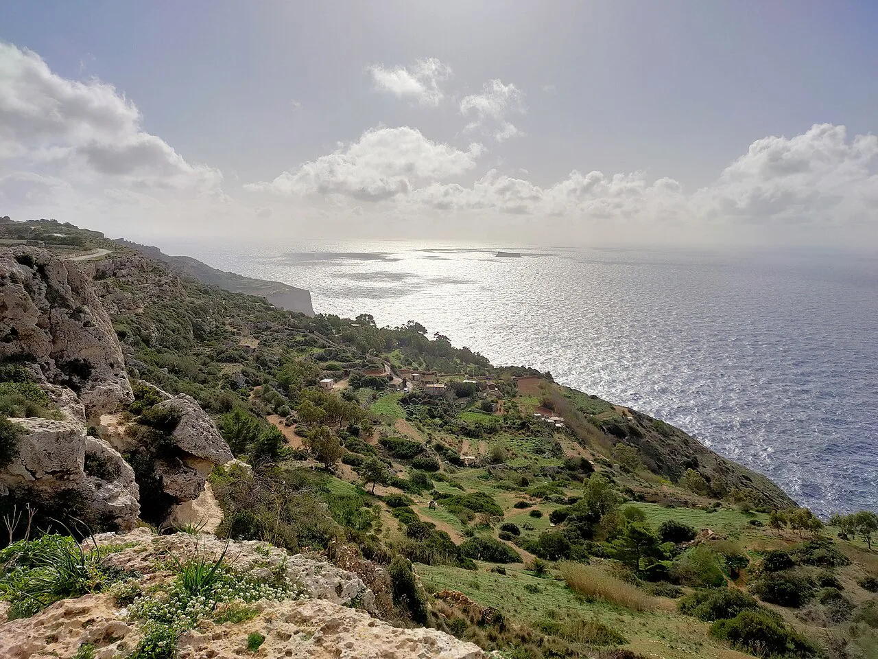
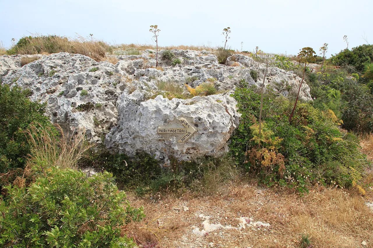
From Dingli, the route climbs briefly out of the village and joins the rim, where the path runs close to the cliff line with the sea below and open ground inland. The characteristic walking is flat and fast along this edge, with repeated viewpoints where the ground falls away toward Filfla.
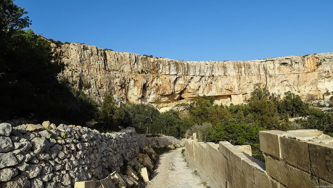
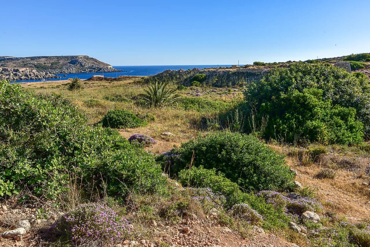
Continuing south, the path passes above the Fawwara area, where terraced fields and walled tracks sit between the cliff edge and the plateau. This is the section that gives the walk its variety: you alternate between open rim and enclosed field tracks, and the shelter from the wind is welcome on a breezy day.
One walker's note on the Komoot highlight is blunt about the compromise: the route suffers by running along the road in places, but the view still makes it worthwhile. Expect stretches of track beside the coast road rather than a pure footpath, and plan your pace around that.
There is a café stop near the cliffs at the Cliffs Restaurant, useful for coffee before or after the walk rather than as a mid-route halt. Confirm its current opening days directly if you are relying on it outside the main season.
Distance, ascent and time at a glance
Use these four figures to choose your day. Short Dingli loop: 4.68 km (2.9 mi), 60 m (197 ft) of ascent, about 1 hour 16 minutes, easy. Long Dingli loop: 14.8 km (9.2 mi), 200 m (656 ft), about 4 hours 1 minute, moderate.
Mdina loop: 15.7 km (9.8 mi), 210 m (689 ft), about 4 hours 15 minutes, moderate. Fawwara Trail: 9.5 km (5.9 mi), 180 m (590 ft) of gain, about 2.5 to 3 hours, moderate.
Read the times as walking hours, not total outing length. On an exposed limestone edge with viewpoints every few hundred metres, most hikers add twenty to forty minutes of stops, and more if they are photographing the cliff line.
Walking from Rabat or Mdina to the cliffs
Rabat and Mdina sit close together inland, and both work as starting points if you are staying in the old capital rather than on the coast. The Mdina loop of 15.7 km (9.8 mi) with 210 m (689 ft) of ascent and about 4 hours 15 minutes is the measured version of that day, and it is rated moderate.
The honest trade-off is that the inland half of the circuit is functional walking across fields and minor roads, while the cliff half is the reason to come. If you only have one day, start from Dingli and use the short loop rather than spending two hours getting to the edge.
If you would rather have the logistics arranged, walking holidays based on the island often include this kind of cliff-to-village day with transfers built in, which removes the return-leg problem.
When to go: months and conditions on an exposed limestone edge
The cliffs are most comfortable in spring and autumn, when temperatures suit four hours of open walking and the light on the sea is clear. Komoot's visitor data shows the highlight is visited across every month of the year, so you can pick the season that matches your tolerance for heat and wind.
Summer is the season to plan around rather than dismiss. The route has almost no shade on the rim, so an early start and a shorter loop make more sense than a four-hour circuit in the middle of the day.
Wind is the other factor: the cliff edge catches the full force of onshore weather, and a breezy day in the village can be genuinely strong on the rim. Carry a light shell even in settled weather, and stay back from the edge where the limestone is undercut.
What to wear and carry on a cliff-top walk
The ground is easy, so trail shoes or sturdy walking shoes are enough; boots are not required for any of the loops. Bring a hat, sun protection and more water than you think you need, because the exposed sections offer no shelter and no reliable water points on the way.
Carry a map or offline route on your phone. The paths along the rim are not continuously waymarked, and the inland return legs cross field tracks and minor roads where it is easy to drift onto the wrong line.
A windproof layer and a charged phone cover the two realistic problems: a sudden change in the weather on the exposed edge, and navigation slips on the return through the fields.
The Fawwara Trail: what it adds and who it suits
The Dingli Cliffs and Fawwara Trail is the middle option between the short loop and the full Dingli circuit, at 5.9 mi (9.5 km) with 590 ft (180 m) of gain and about 2.5 to 3 hours. It is rated moderate, and it adds the terraced fields and walled lanes of the Fawwara area to the cliff walking.
Choose it if the short loop feels too brief but four hours on the plateau is more than you want. It is also the best version for seeing the agricultural side of the cliffs, where small fields sit right at the rim.
Because it combines cliff edge and inland tracks, it demands a little more attention to the route line than the short circuit. Download the track before you set out, as phone signal on the remoter southern sections is not something to rely on.
Where the walk ends and how to get back
All the loops close on themselves, so you finish in Dingli village or in Mdina depending on where you started, and the return is simply the same bus or car you arrived with. That is the main practical advantage of the loop layout over a point-to-point route.
If you walk the short loop from Dingli, you can be back in Valletta or Sliema the same afternoon without a transfer; the longer circuits need a full morning or afternoon. Allow for the bus journey back, and check the last useful departure before you set off.
For a broader view of how this day fits with the rest of the island, including areas like Għadira Nature Reserve, the main island guide sets out the options side by side.
Plan Your Dingli Cliffs Day
Decide the day by the clock: under two hours, take the short 4.68 km (2.9 mi) loop from Dingli; two and a half to three hours, the Fawwara Trail; four hours, the long circuit. Only choose the Mdina start if you are staying there and want the extra inland miles.
Sort out the bus or the parking before you go, carry water and a wind layer, and keep the exposed edge for the cooler parts of the day. The cliffs reward an early start more than a fast pace.
Frequently Asked Questions
How long is the Dingli Cliffs walk?
The short loop from Dingli village is 4.68 km (2.9 mi) with about 60 m (197 ft) of ascent and roughly 1 hour 16 minutes of walking, rated easy. The Fawwara Trail runs 9.5 km (5.9 mi) with 180 m (590 ft) of gain in about 2.5 to 3 hours. The long circuit from Dingli is 14.8 km (9.2 mi) with 200 m (656 ft) of ascent in about 4 hours.
Where do you start the Dingli Cliffs walk?
Dingli village is the simplest trailhead, sitting directly below the cliffs with almost no approach walk to the rim. Mdina and Rabat also work as bases but add an inland stretch across the plateau before you reach the edge. Buses serve Dingli village, and the local operator publishes current routes and times.
Can you walk from Rabat or Mdina to the cliffs?
Yes. The Mdina loop measures 15.7 km (9.8 mi) with 210 m (689 ft) of ascent and about 4 hours 15 minutes, rated moderate. The inland half crosses fields and minor roads, so if you only have one day, starting in Dingli and taking the short loop puts you on the cliff edge sooner.
Is the Dingli Cliffs walk worth it?
If you want big sea views, an easy surface and a half day outdoors, it delivers more than any other walk on Malta's main island. The cliff-top path runs close to the rim with views toward Filfla, and the climbing on every version stays small. Hikers after scrambling or a summit day should look elsewhere.
When is the best time to walk Dingli Cliffs?
Spring and autumn give the most comfortable temperatures for a four-hour circuit on open limestone. Summer works with an early start and the shorter loop, because the rim has almost no shade. Wind is the other constraint, since the edge catches onshore weather in full.
Sources
Trail notes for your next trip
Optional updates when we add or revise hiking guides.
You might also like
Continue reading
More guides you'll find useful