Barranc de Biniaraix Hike Mallorca: Route & Time Guide
Walk the Barranc de Biniaraix from Biniaraix through terraced olive groves on the GR 221, with distance, ascent, walking time and the Camí Vell fork.
On this page
The Barranc de Biniaraix is a karst canyon cut into the hillsides east of Sóller, and the old paved way through it climbs steadily between dry stone terraces planted with olive, carob and almond trees. It suits hikers who want a half-day walk with real height gain and a strong sense of place rather than a summit, and it makes a good first outing in the Serra de Tramuntana.
Where the Barranc de Biniaraix runs
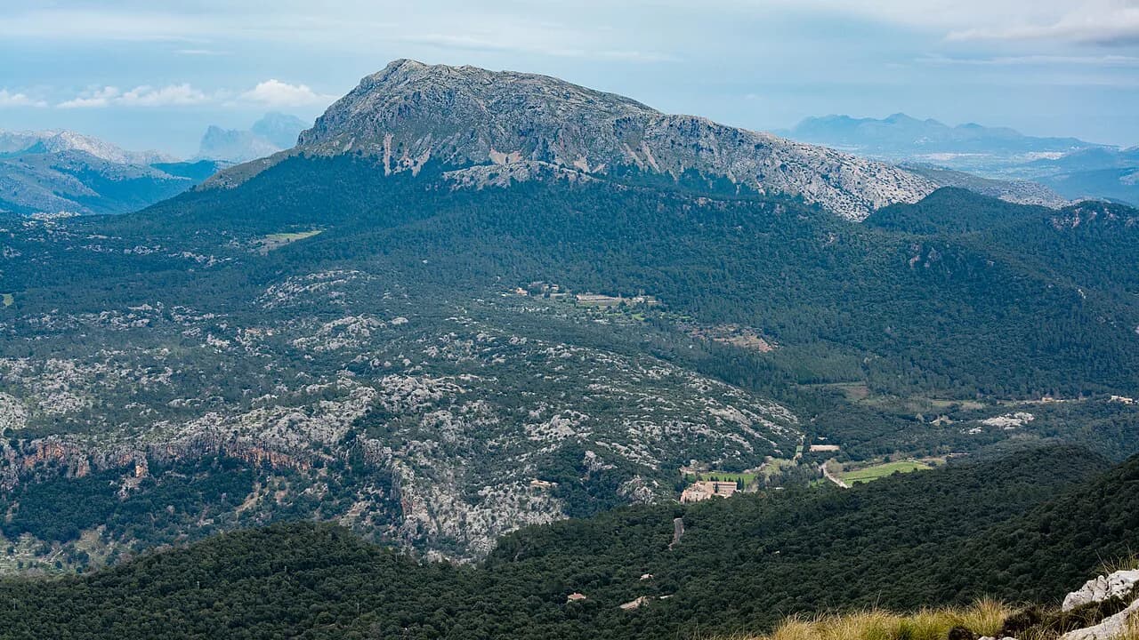
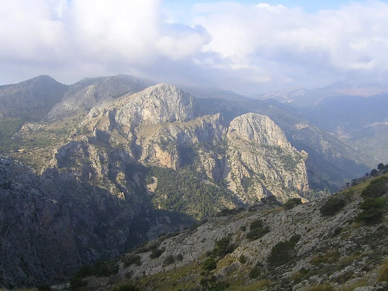
The canyon lies southeast of Sóller, bounded by Es Cornadors to the south and the western end of the Son Torrella range to the north, where water draining westwards has carved the karst gorge. Its hillsides are divided into small agricultural plots, stepped with terraces and still growing olive alongside carob, almond and a few orchard trees. The Camí del Barranc was the main old route linking the Sóller and Fornalutx valleys with Lofra, Cúber, Orient and the Lluc monastery.
That history is why the walking surface is so good: a network of stone-paved paths runs out from the canyon, with terraced fields spreading from each one. Expect a stream and small waterfalls in the gorge bed after rain, which is one more reason to wear boots rather than trainers.
Trailhead at Plaça de la Concepció in Biniaraix
The walk starts and finishes in Biniaraix at the Plaça de la Concepció in the village center, where the café Es Barranc sits on the square. Biniaraix is roughly 2 km (1.2 miles) east and above the Sóller valley floor, so you can reach the start on foot from Sóller or drive up and park in the village.
For a longer day, walk over from Sóller or continue to Fornalutx afterwards, since both connect to the same path network in the Sóller valley. Buses and timetables change by season and operator, so look up the current Sóller valley services before you set out. If the Serra de Tramuntana is new to you, the wider hiking in Mallorca guide sets out the other valley walks and how they link.
Distance, ascent and time for the loop
The loop from Biniaraix is 5.25 km (3.3 miles) with about 350 m (1,150 ft) of ascent and 340 m (1,115 ft) of descent, taking roughly two hours at an easy pace. Treat that as moving time and add stops for photographs and the terraces, because the first half climbs continuously and is where your fitness is spent.
It is a moderate mountain walk rather than a technical scramble, and the descent is straightforward on the knees once the climbing is done. This is only one short stage of the long-distance GR221 Mallorca route, which continues across the range to Lluc and beyond.
Route description through the canyon
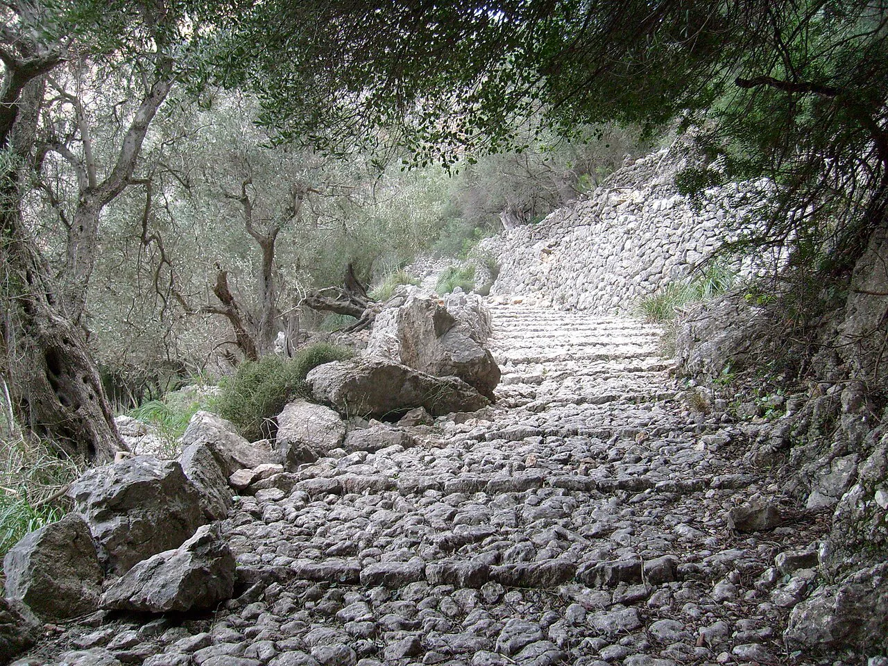
The first half of the loop, around 2.6 km (1.6 miles), follows the paved path up through the Barranc, marked as part of the GR 221, with the terraced slopes rising on both sides. The paved way continues until a post where it turns sharply left; the loop instead takes the narrower path to the right into the holm oak wood, which is the old Camí Vell.
The Camí Vell is unmarked, so carry a GPS device or a phone with an offline map and track the junction carefully before committing to it. The return brings you back down to Biniaraix, and a short detour to the village's old washhouse sits at the edge of the village on the way.
The terraces and dry stone walls
The hillsides here are built as much as grown: the marges were raised on rocky, steep ground to create narrow marjades for cultivation, and the walls were kept simple rather than finely worked. Those gaps shelter small ferns of the Asplenium genus and plants found only in the Mallorcan mountains, including foxglove, estepa joana, broom, everlasting and violeta de penyal.
Farming here no longer pays, so the terraces are now used mainly for recreation, which is exactly how you meet them. The route and its dry stone elements were listed in 1994 as an Asset of Cultural Interest in the monument category, which is the reason to walk slowly rather than race the two-hour time.
When to go
The walk is doable year-round, but the terraced ground is open and hot, so in summer start in the morning or late in the evening and carry more water than you think you need. Spring and autumn give the most comfortable temperatures for the climb, while winter can bring cold wind on the upper terraces. If you want to compare a similar half-day walk at another island, the hiking in Tenerife guide covers trails of a comparable length.
After heavy rain the stream in the gorge carries water and the paved stones turn slick, which slows the descent considerably. In the Tramuntana Sierra, afternoon storms build quickly in the warmer months, so aim to be off the exposed terraces by early afternoon.
Where to eat in Biniaraix after the walk
Café Es Barranc on the Plaça de la Concepció puts you back at the trailhead for coffee or a late lunch once you are down. Carry your own water and a picnic for the climb itself, since the terraced sections give no shelter and no reason to stop long.
If you want the valley's walks organized for you rather than planned solo, Mallorca walking holidays based in the Sóller area cover this kind of half-day route alongside longer days in the range.
Barranc de Biniaraix versus other Sóller valley walks
This is the gentlest way to get height above Sóller: short, paved for much of the climb, and finished in two hours, which leaves the afternoon free. Hikers chasing a bigger summit should look at the Puig de Massanella Hike further north in the range, which is a much longer and more demanding day.
The Barranc also works as a taste of the GR 221 without committing to a multi-day itinerary, since the marked path through the canyon is part of that route. If the waymarking and hut-to-hut rhythm appeal, the GR221 guide explains how the stages fit together across the island.
Waymarking and route-finding on the Camí Vell
The GR 221 section is clearly marked, so the climb needs little navigation, but the sharp left turn at the post is the decision point of the day. Take the narrower right-hand path only if you have a GPS device or the route on your phone, because the old way through the holm oak carries no paint marks.
Wear hiking boots for the wet stone and loose sections, and pack sun protection, a hat and a camera for the terraces and gorge views.
Planning Your Barranc de Biniaraix Day
Plan the Barranc de Biniaraix as a two-hour loop from Biniaraix, with the climb through the canyon first and the unmarked Camí Vell return second. Start early in summer, carry water and a map for the fork, and leave time for the café on the square when you finish.
For the rest of the island's trails, from short valley paths to long ridge days, use the Serra de Tramuntana pages to match a route to your fitness and the season.
Frequently Asked Questions
How long is the Barranc de Biniaraix hike?
The loop from Biniaraix covers 5.25 km (3.3 miles) with about 350 m (1,150 ft) of ascent and 340 m (1,115 ft) of descent, taking roughly two hours of walking. Add extra time for photos and for the terrace sections, where the stone path slows you down.
Where does the Barranc de Biniaraix walk start?
It starts and finishes at the Plaça de la Concepció in Biniaraix, with Café Es Barranc on the square. Biniaraix sits about 2 km (1.2 miles) east and above the Sóller valley floor, so you can walk up from Sóller or drive to the village.
Is the Barranc de Biniaraix loop difficult?
It is a moderate mountain walk: a steady climb on paved stone through the canyon and an easy descent, with no technical scrambling. The climb is where the effort goes, and the unmarked Camí Vell return needs a GPS track or offline map.
What is the Camí Vell on the Barranc de Biniaraix route?
The Camí Vell is the old path that leaves the paved GR 221 route where it turns sharply left at a post, continuing right on a narrower trail through holm oak. It carries no waymarks, so navigate with a device or a route on your phone.
Can you walk from Sóller to Biniaraix?
Yes. Biniaraix is about 2 km (1.2 miles) east and above the Sóller valley floor and connects to the village on foot, making a longer day that combines the valley with the canyon loop. Local bus services change with the season, so look up current Sóller valley timetables before relying on them.
When is the best time of year to hike Barranc de Biniaraix?
The route works year-round, but summer heat on the open terraces makes early morning or evening the sensible window. Spring and autumn give the most comfortable climbing temperatures, and wet weather after rain leaves the paved stones slick.
Sources
Trail notes for your next trip
Optional updates when we add or revise hiking guides.
You might also like
Continue reading
More guides you'll find useful