Ladder of Kotor Hike: Route, Time and How to Start
The Ladder of Kotor climbs 70 hairpin bends above the old town. Get the route, walking time, where it starts and how to hike it top-down or bottom-up.
On this page
Few short climbs in the Mediterranean put you that far above a UNESCO-listed town that quickly. The Ladder of Kotor zigzags up the face of Mount Lovćen from the edge of the old town, and within a couple of hours you are looking straight down on the rooftops and the bay. It suits hikers with a steady head for stone steps and a free morning, not climbers looking for an all-day mountain route.
The path is signed in red and white and needs no rope, but it is relentlessly uphill and mostly unshaded rock. Treat it as a proper hike rather than a town stroll, and judge your fitness honestly against the two-to-four-hour climb time. For the wider choice of trails above town, see this guide to hiking in kotor.
What the Ladder of Kotor is
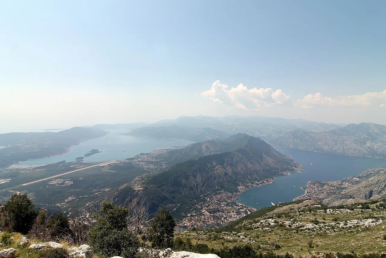
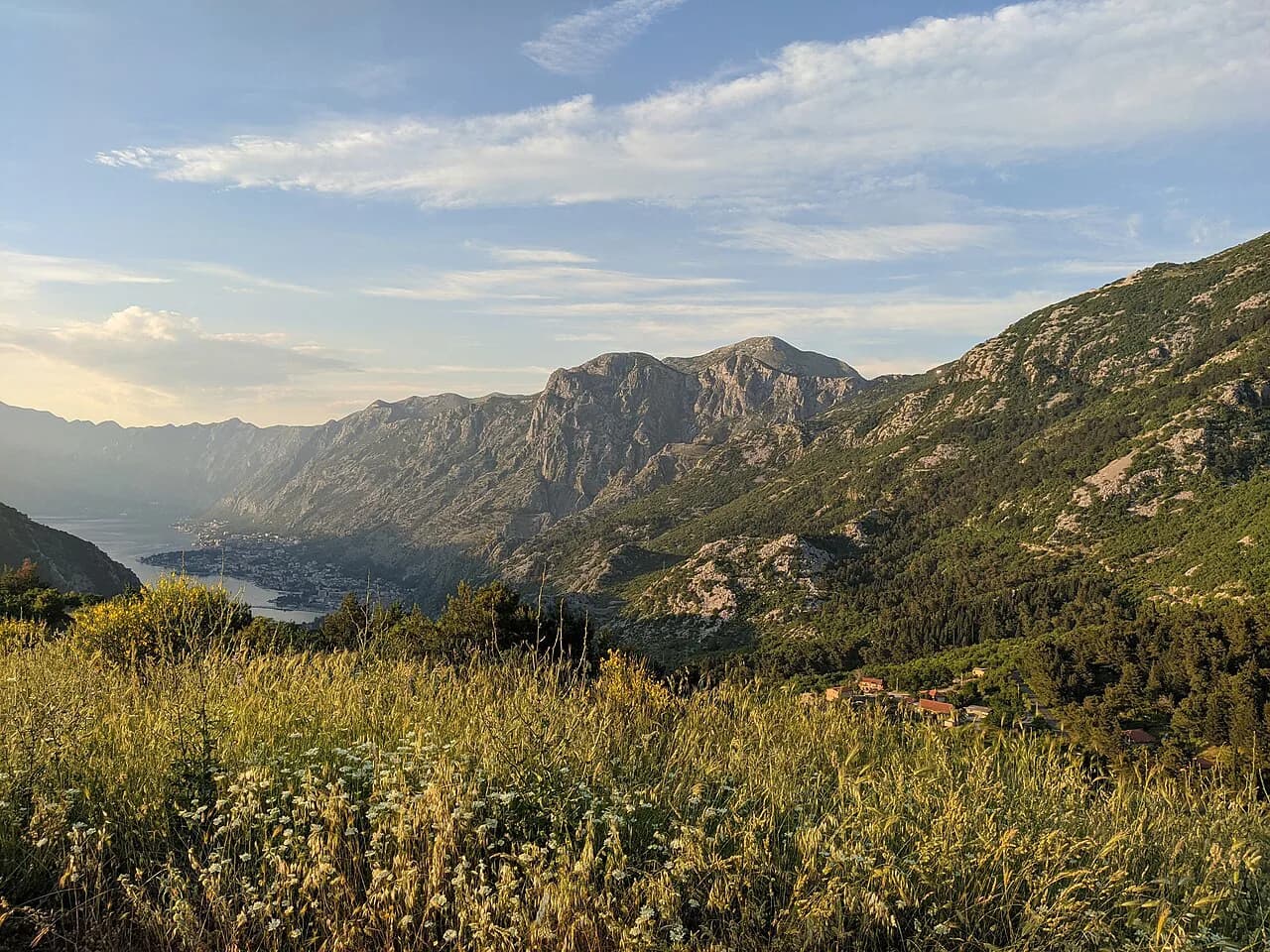
The Ladder takes its name from the stacked hairpins that climb the cliff face above town, giving the slope a ladder-like pattern when seen from below. The path gains more than 3,000 feet (roughly 900 m) above the UNESCO-protected Old Town, with Boka Kotorska Bay opening out below as you rise.
That layout makes it a fixed route with a clear bottom end and a clear top end, so you can plan it in either direction. The climb suits fit walkers who want a half-day outing from town; hikers wanting a longer traverse across the Lovćen slopes should look at a different day.
Where the trail starts
The bottom of the route is not a car park or a lift station: you walk out of the walled town and pick up the marked path beyond the city walls. Plan your morning around that exit, because the first stretch through the old lanes and gates is part of the day rather than a five-minute approach.
If you are navigating from the town, use the trail map and elevation profile before you leave so you know which gate and which lane to aim for.
One walker's write-up on reaching the fortress on foot describes leaving through the city walls to find the start of the Ladder of Cattaro, the historic name for this path. It is a useful cross-check on the exit, though it is a single account rather than an official trail description.
Route description: switchbacks, forest and rock
The zigzags come first and they are the steepest, most sustained part of the day. You gain height quickly in short bursts, with the bay and the town roofs unfolding behind you each time the path turns. Take the bends slowly and let the views do the work.
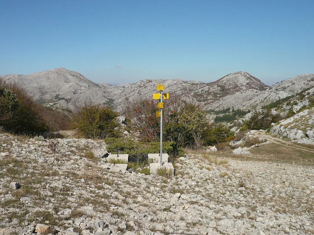
Higher up the trail passes through forest and rockier ground, with some narrow sections where the surface is loose underfoot. Red-and-white striped signs mark the way at intervals, so keep them in sight at junctions rather than assuming the obvious line.
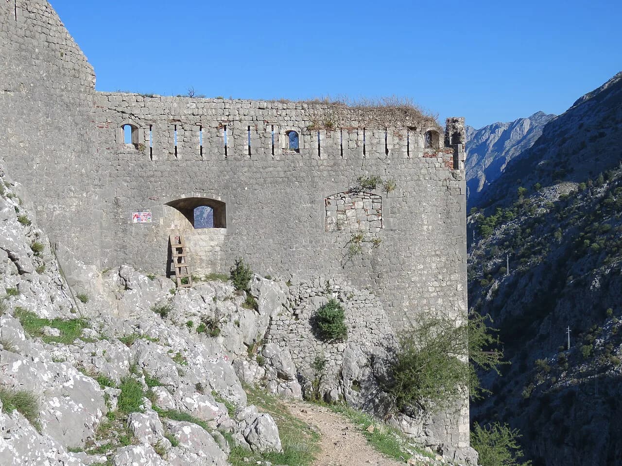
The classic views over Boka Kotorska come as you climb, so the best photography is on the way up, not at the finish. If you want the fortress itself as a destination, plan that as a separate objective and read up on the Kotor Fortress Hike before deciding how to combine the two.
Distance, ascent and time
Allow two to four hours for the climb, depending on pace and how often you stop. The low end assumes a steady hiker moving without long breaks; the high end is realistic for a slower pace, photography stops and a warm day.
That range is the honest fitness test: if four hours of continuous uphill on stone and rock sounds like a stretch, start early, carry more water than you think you need, and turn around at a viewpoint rather than pushing for the top. Descending the same switchbacks takes far less time but loads the knees, so budget energy for the way down.
Hiking it top-down
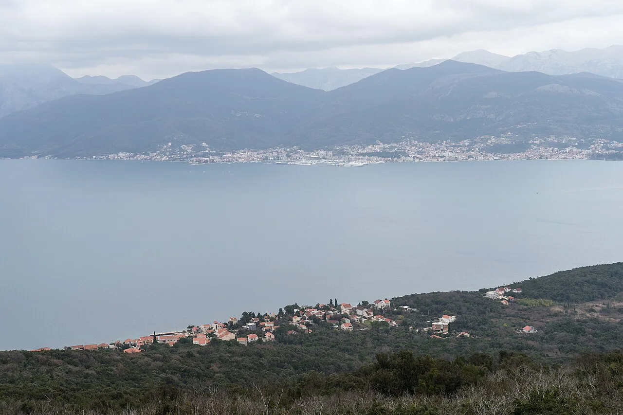
The route works in reverse if you would rather descend than climb, which removes the sustained ascent but puts you on loose stone steps going downhill. Many hikers find the knees suffer more on the descent than the lungs do on the climb, so this is a genuine trade-off rather than an easier option.
To walk it top-down you still need to sort out transport to the upper end of the path above town, and the trail sources here describe the line of the route rather than any lift, bus or car access at the top. Arrange that separately before committing to a one-way descent.
When to go
Early summer is the friendliest window: the climb is warm without being scorching, and you still need plenty of water. Later in the season the rock face above town holds the heat, and the exposed bends offer little shade until you reach the trees higher up.
Start early whatever the month. Morning gives you softer light over the bay, cooler stone underfoot and a buffer if the climb takes longer than planned. Afternoon storms build over the Lovćen massif in summer, and the upper sections are no place to be caught in one.
What to wear and carry
Wear shoes with real grip, because the switchbacks and upper rocky sections are uneven and polished in places. Carry water for the whole climb rather than expecting a refill on the way; there are no huts or reliable water points described on the route, so treat it as self-supported.
Sun protection matters more than you would expect for a half-day outing, since the bends face the bay with little cover. A hat and a charged phone for photos and navigation cover the rest, and the hotel-side account of the trail puts it plainly: carry enough water and keep your camera charged for the views.
Reading the elevation profile
The elevation profile is the clearest planning tool for this route, because it shows where the gradient bites and how the climbing is distributed. Expect the sharpest gains in the switchback zone near the town and a steadier pull higher up.
Read it alongside the map so you can mark the turnaround point that suits your time. If you only have a morning, the profile tells you where the best views arrive relative to the effort, which is usually better value than forcing the full climb.
Where to stay in Kotor for an early start
Staying inside the walls puts the trailhead on your doorstep and lets you start before the day heats up. Kotor's historic hotels are an option if you want the old-town setting and a short walk to the path.
Wherever you sleep, the decision that matters is how quickly you can be at the town edge after breakfast. Accommodation further out adds a walk or a drive before the climb even begins, which matters most in the hot months.
Taking a dog on the Ladder of Kotor trail
The sources for the Ladder of Kotor describe the route in detail but say nothing about dogs, so there is no stated rule here on whether a dog may accompany you up the 70 hairpin bends of Mount Lovćen. What the descriptions do tell you is the kind of ground a dog would be covering: the path leaves the historic town of Kotor and passes through forests, rocky terrain and narrow paths before reaching the summit more than 3,000 feet above the UNESCO-protected Old Town. Those narrow, rocky sections are the stretches to picture when you think about sharing the trail with an animal.
Timing matters as much for a dog as for you. The same trail description notes that hiking the ladder during early summer means the climate isn’t scorching, and it recommends plenty of water for the climb; on a two-to-four-hour ascent, a dog would need its own supply rather than a shared bottle. The elevation profile is the other planning tool worth reading, since it shows how the climbing is distributed along the route rather than leaving you to guess where the steepest stretches fall.
How you reach the foot of the trail shapes the day too. One account of the route explains that to find the start of the Ladder of Cattaro hiking trail up to Kotor fortress you need to exit Kotor's city walls first. That opening stretch through the town is part of the walk, and it is the point at which you will know whether the day is suited to a dog at all. Beyond that, plan on carrying what the walk requires and treating the climb as the full outing it is.
If the full ascent looks like too much for a dog, the trail can also be done from the top down if you’re not too keen on the ascent, which shortens the climbing and puts the downhill on the legs that handle it better. Either direction, the marked route with red-and-white striped signs indicating your progress is the line to follow, and the summit rewards the effort with views over Kotor Bay and beyond.
Plan Your Climb
The Ladder of Kotor rewards an early start and a modest, honest plan: two to four hours up, real shoes, plenty of water and no expectation of shade. Walk the switchbacks until the views are what you came for, then decide whether the top is still worth it.
If you want a longer day on the Lovćen slopes once you have done the Ladder, plan that as a separate outing rather than adding it on. Otherwise, bank the morning, descend carefully and spend the afternoon in the old town you just looked down on. If you are comparing short, steep coastal climbs elsewhere in the region, this guide to hiking in Corfu covers a similar kind of half-day route.
Frequently Asked Questions
How long does the Ladder of Kotor hike take?
Allow two to four hours for the climb, depending on your pace and how long you spend at the viewpoints. The low end suits a steady hiker without long stops; the high end covers a slower pace, photography and warm weather. The descent on the same switchbacks takes considerably less time.
Where does the Ladder of Kotor trail start?
The path begins beyond Kotor's city walls, not at a car park or a lift station. You walk out of the walled town and pick up the red-and-white marked route from there, so the first stretch through the old lanes and gates is part of the day.
Can you hike the Ladder of Kotor downhill?
Yes. The route can be walked from the top down, which removes the sustained climb but puts you on uneven stone steps going downhill. You need to arrange your own transport to the upper end of the path above town before setting off.
How many switchbacks are on the Ladder of Kotor?
The route is known for around 70 hairpin bends on the cliff face above the old town, which is what gives it the ladder-like look from below. The zigzags come first and are the steepest, most sustained part of the climb.
Is the Ladder of Kotor the same as the Kotor fortress trail?
They are distinct objectives. The Ladder is the marked zigzag path up the face of Mount Lovćen above town, and the fortress is a separate destination on the hillside that hikers often plan around separately. Decide which one you are targeting before you set out.
Is there water on the Ladder of Kotor route?
No huts or reliable water points are described along the route, so carry what you need for the whole climb. That matters most in the warm months, when the exposed bends above town hold the heat and offer little shade.
Sources
Trail notes for your next trip
Optional updates when we add or revise hiking guides.
You might also like
Continue reading
More guides you'll find useful