Vrmac Hike: Kotor to Tivat Ridge Trail Guide for Hikers
The Vrmac hike climbs from Kotor to Fort Vrmac, crosses an exposed ridge and descends to Tivat. Route, distance, ascent, timing and the Donja Lastva descent.
On this page
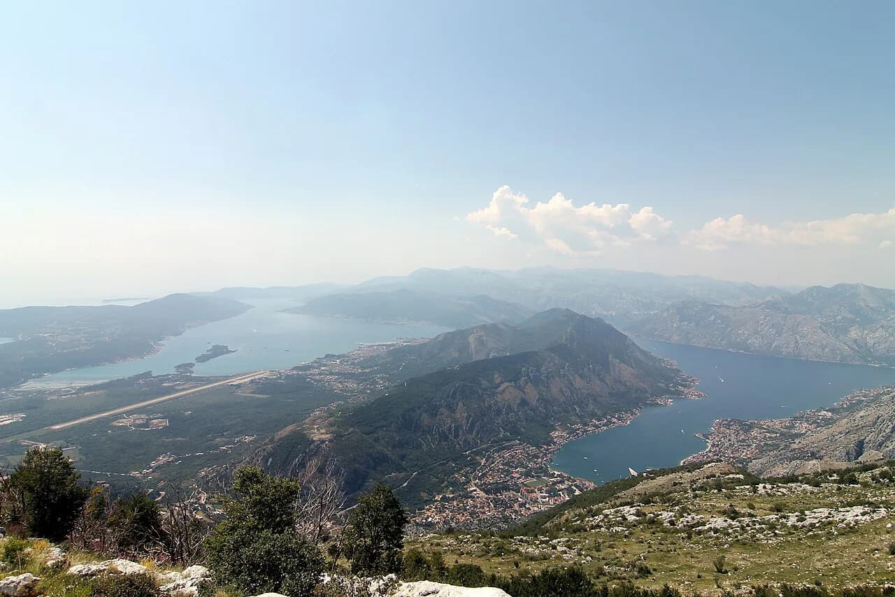
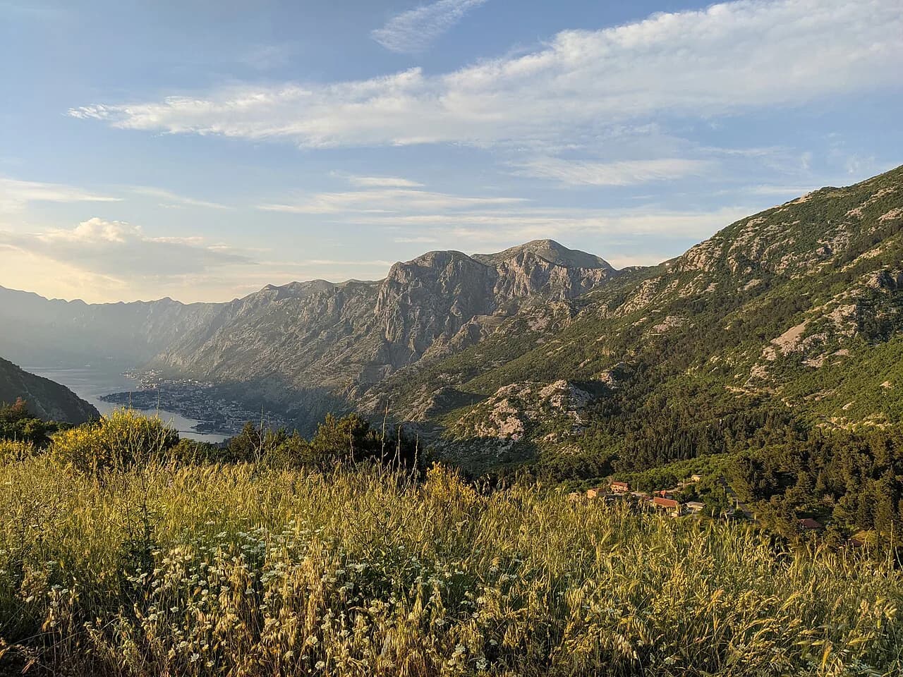
The Vrmac hike crosses the ridge that separates the Bay of Kotor from Tivat, climbing from the waterline through forest to a WWI fort and then walking open ground with water on both sides. It suits half-day to full-day hikers based in Kotor or Tivat who want a real climb and a town-to-town route rather than an out-and-back. The steepest work comes in the first hour, and the finish puts you near the water in Tivat.
Trailhead and access
The nearest start is at Muo, about a 15-minute walk south of the Old Town of Kotor along the bay road. The trailhead sits at the far side of the bay from the busiest part of town, and red-and-white waymarks carry you from the back streets onto the hill.
There is no lift or cable car on this route, so all of the height is gained on foot. The climb opens with staircases before switching into switchbacks up the hillside; if you find yourself on steady zigzags, you are on the right line. A road from the Tivat side reaches Fort Vrmac itself, which gives a shorter alternative for anyone who wants the fort without the ridge traverse.
Distance, ascent and time
Allow about 14 km (8.7 mi) for the full Kotor-to-Tivat crossing, with roughly 850 m (2,790 ft) of climbing and about six hours of walking. The grade is moderate to tough, and almost all of the effort is packed into the ascent out of Kotor. A partial version that stops at the fort or turns back from the ridge cuts the day down considerably but loses the traverse.
Route-finding adds time here, so treat six hours as walking time rather than a door-to-door figure. Carry enough water for a full day on open ground, because the ridge has long stretches with little or no shade and no refill points between the towns.
Which direction to hike
Walk it from Kotor to Tivat. The steep switchbacks come first, while you are fresh and the morning is cool, and the day ends at Tivat's beach bars instead of starting there. The reverse direction trades an early climb for a late one and leaves you in Kotor with the hardest section still ahead.
If you are staying in Tivat, the same logic still favors starting on the Kotor side, which means a short bus or taxi ride across the bay before you set off. Plan the crossing so the climb happens before midday heat builds on the exposed ridge.
Route description: Kotor to Fort Vrmac
From the Muo trailhead the route climbs through staircases in the lower town, then swings into switchbacks up the wooded hillside. Near the top, bear right and follow the forest road that leads to Fort Vrmac. The walking is easy to follow under the waymarks, but the gradient is unrelenting until the road flattens out.
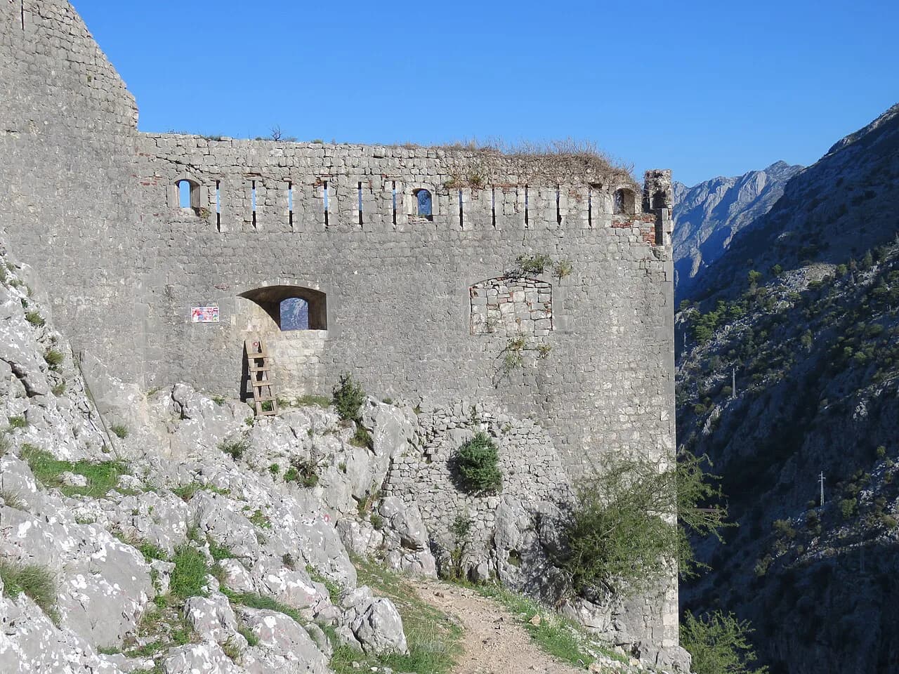
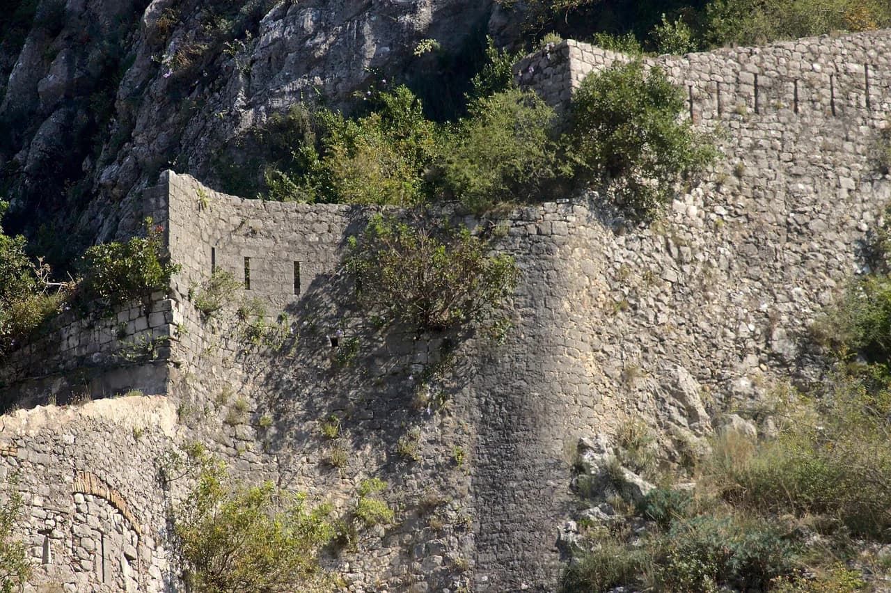
Fort Vrmac is an Austro-Hungarian fortification used during the First World War, and much of the original interior fittings remain in place. Cars parked at the gate are a reminder that the fort is a destination in its own right, reachable by road from Tivat. Walk through the fort, then pick up the ridge path beyond it.
Across the ridge to St. Ilija
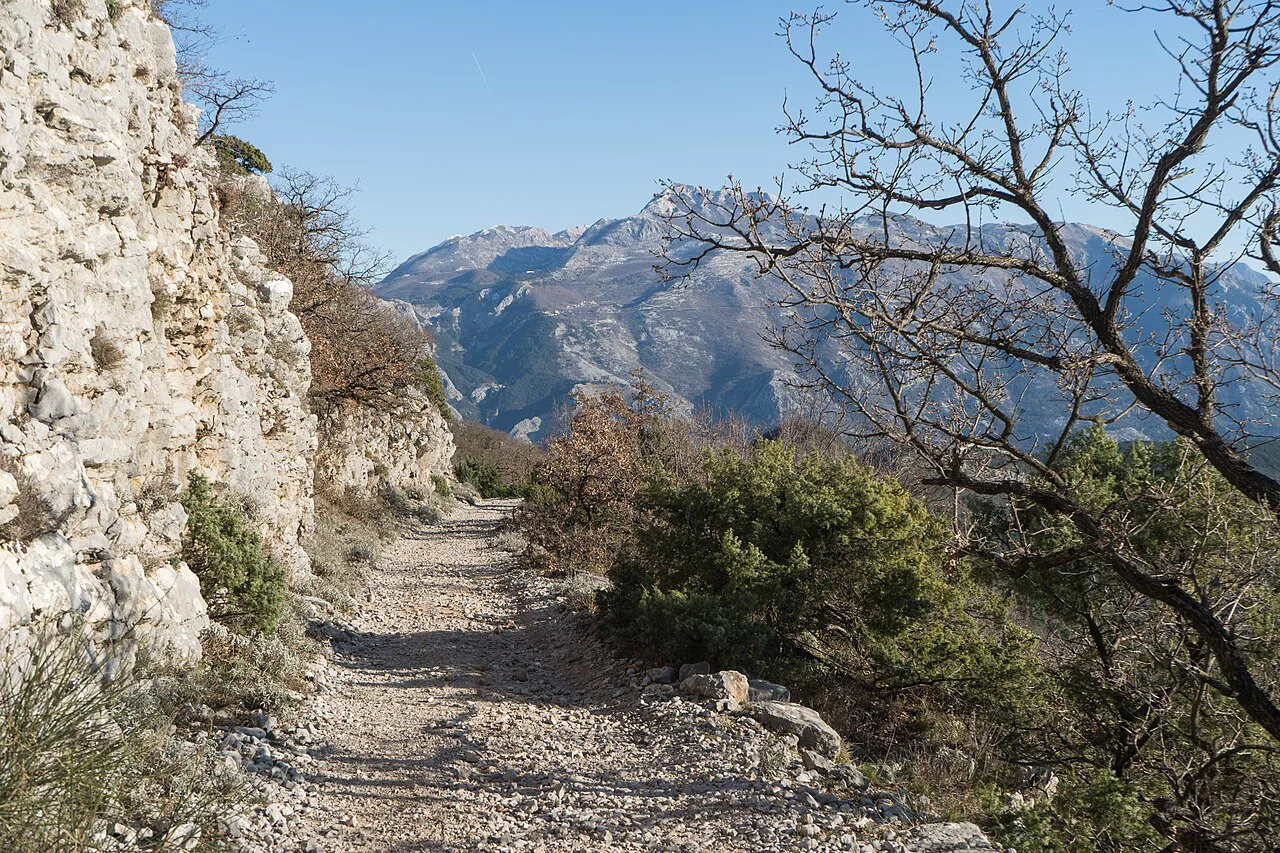
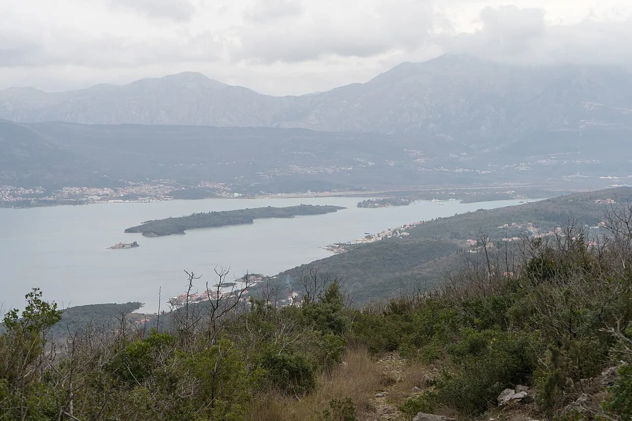
Past the fort the route opens onto the ridge proper, with the Bay of Kotor falling away on one side and Tivat on the other. Continue to St. Ilija for the widest views over the bay and the Adriatic beyond. This is the natural lunch stop, though shade is scarce, so walking a little further often turns up a better spot under trees.
The ridge is fully exposed for long stretches, and the surface turns slippery on the descents after rain. Grip matters more than cushioning here, and an early start keeps the hottest, shadeless kilometres behind you before the afternoon.
The descent to Tivat
The Tivat side has two main entrances to the ridge, reached from Donja Lastva or Donji Stoliv. Take the Donja Lastva line: it drops on broad, easy switchbacks, and Villa Lastva works as a reference point for leaving the ridge. That finish brings you into Tivat along a walkable route rather than a scrubby hillside.
The temptation is to cut straight down toward Tivat on a smaller path that looks fine on a phone map. In practice it degenerates into overgrown, thorny ground above steep drops, which is slow, unpleasant and harder than the marked descent.
When to go
April to June and September to October are the best windows, warm enough for the views without the full weight of summer heat on an unprotected ridge. Midsummer walking is possible but starts early and finishes earlier, with more water than you think you need.
Rain changes the character of the day rather than cancelling it: the ridge stays walkable, but the descent becomes slick and slow. Check the forecast the evening before and shift the walk a day if a front is due to pass through midday.
Getting back to Kotor from Tivat
Three options link Tivat back to Kotor: a taxi, the Blue Line bus, or a water taxi across the bay. The bus runs roughly hourly and is the cheapest of the three; check the current timetable with the Blue Line on the day you travel.
Tivat itself rewards an hour or two before you head back, with beach bars and a swimming area near the waterfront for cooling off after the descent. If you take a taxi, agree the fare before setting off, since prices are not fixed by any published schedule.
Where to base yourself
Kotor makes the better base for this route: you walk out of town to the trailhead, climb first thing, and only need transport for the return. Tivat suits hikers who want the beach and marina at the end of the day, with a short bus ride to the start in the morning.
If you have a second day in Kotor, the climb up to the fortress above town makes a shorter, steeper counterpoint to the Vrmac traverse. The Kotor Fortress Hike follows the Old Town walls and gives views back over the bay you have just crossed, while the Ladder of Kotor Hike further up the same slope trades the walls for a long staircase into the hills. Hikers weighing a longer ridge traverse against this one can compare the options in our guide to hiking in Corfu.
Plan Your Visit
The Vrmac hike is the most satisfying town-to-town day out from Kotor: a hard climb, a fort with real substance, an open ridge and a swim at the end. Go from Kotor to Tivat, start at Muo, take the Donja Lastva descent, and keep the day for spring or early autumn.
Frequently Asked Questions
How long is the Vrmac hike from Kotor to Tivat?
The full crossing is about 14 km (8.7 mi) with roughly 850 m (2,790 ft) of climbing, and most hikers spend around six hours walking. Shorter versions that stop at Fort Vrmac or turn back from the ridge take considerably less time.
How hard is the Vrmac ridge hike?
It is rated moderate to tough. The difficulty is concentrated in the switchbacks out of Kotor and in the exposed, shadeless ridge walking, where footing gets slick after rain.
Which direction should I hike the Vrmac ridge?
Kotor to Tivat. The steepest climbing comes early in the day, and the route finishes at Tivat's waterfront rather than at the bottom of a long climb.
Where does the Vrmac trail start in Kotor?
The nearest trailhead is at Muo, about a 15-minute walk south of the Old Town along the bay road. Red-and-white waymarks lead from the back streets onto staircases and then switchbacks up the hill.
Can you visit Fort Vrmac without hiking the full ridge?
Yes. A road from the Tivat side reaches the fort, so it works as a shorter outing on its own. The fort is an Austro-Hungarian fortification used during the First World War, and much of the interior remains in place.
How do you get back to Kotor after finishing in Tivat?
Take a taxi, the Blue Line bus, or a water taxi across the bay. The bus runs roughly hourly and is the cheapest option; check current times before you set out.
Sources
Trail notes for your next trip
Optional updates when we add or revise hiking guides.
You might also like
Continue reading
More guides you'll find useful