Kotor to Lovćen Hike: Trail, Steps & Summit Guide
How the Kotor to Lovćen hike works: the steep Ladder of Kotor trail, the cable car alternative, the mausoleum steps and plateau walks at the top.
On this page
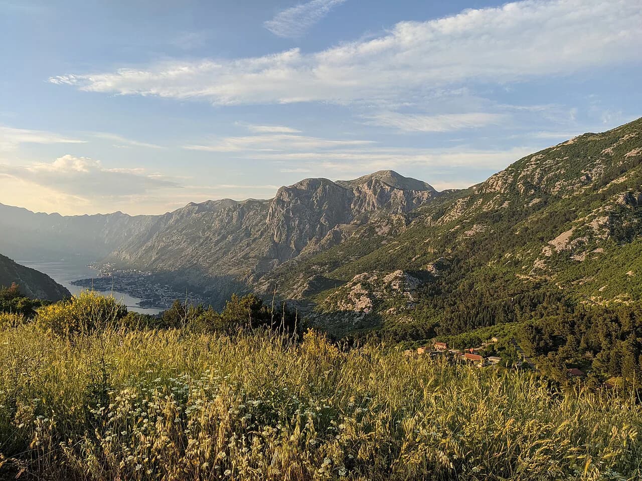
Few day hikes stack so much contrast into a single morning: you leave the stone lanes of Kotor at sea level and finish on the high karst of Lovćen, with the bay unfolding below you. The route suits fit hikers with a full day to spare, and it can be cut short at the top by riding the cable car back down.
The climb is not a casual stroll. The upper path turns steep and rocky, so you need decent footwear, an early start and a layer for a summit plateau that runs noticeably cooler than the town. Plan the day around the weather rather than a fixed timetable.
Why hike from Kotor to Lovćen
Lovćen is the mountain wall that rises directly behind Kotor, and its highest point carries the Njegoš Mausoleum at 1,660 m (5,446 ft). Walking up from the waterfront takes you from Mediterranean rooftops to open limestone plateau in a single push, which is the reason to do it on foot rather than drive.
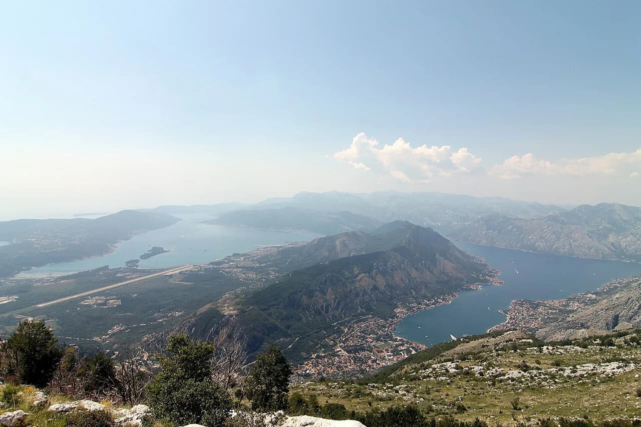
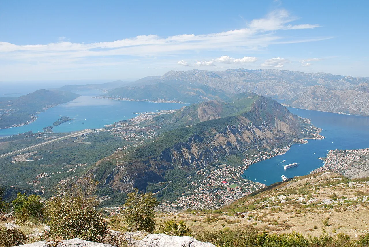
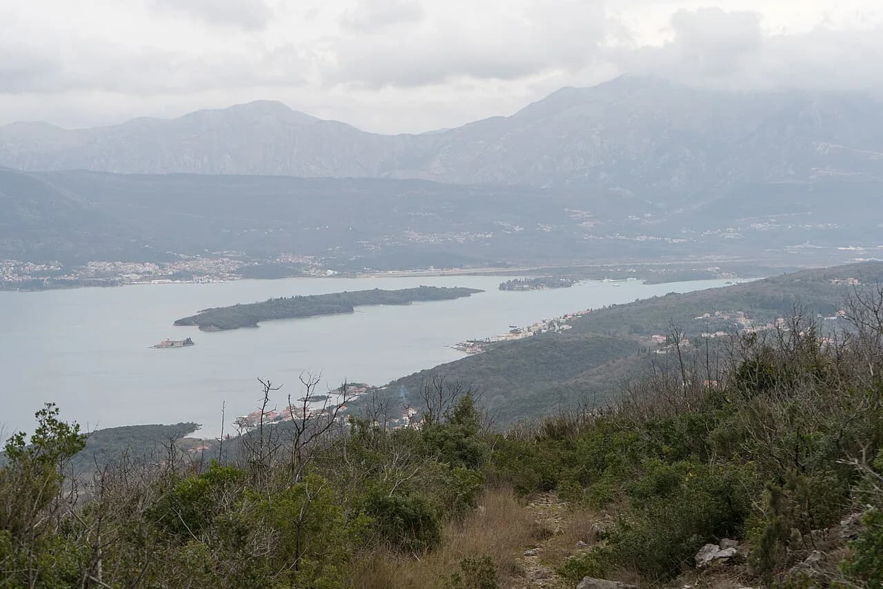
The payoff is the view back over the Bay of Kotor and, on a clear day, across the Adriatic and toward the Albanian mountains. Morning light before about 10:00 gives the sharpest visibility, while midday haze flattens the colors and the heat.
Hikers who want a shorter day can treat the climb as one-way and descend by lift; those with limited time can ride up and walk only the plateau. Kotor works well as a base for either approach, and the wider hiking in kotor area gives you options if the summit is clouded in.
Trailhead: where the Ladder of Kotor starts
The historic path known as the Ladder of Kotor, or Škalje, begins behind the Old Town and climbs through the fortress walls before entering the mountain. You start from the town itself, so there is no trailhead parking to arrange and no bus to catch.
The first section is the same ground used by walkers heading to the fortress viewpoint, which means you share the lower stairs with day visitors before the crowd thins out above the walls. The Ladder of Kotor hike splits away and continues upward once the fortifications end.
Go early. The stone stairs hold heat through the afternoon, and an early start buys you cooler climbing and better light on the summit. Carry water from town, because reliable drinking points on the upper path are not something to count on.
Route description: walls, pine forest and rocky ground
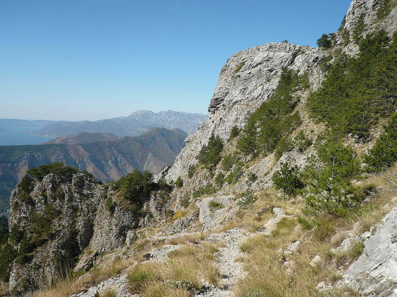
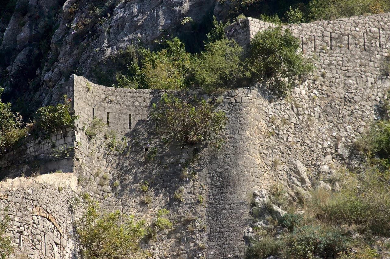
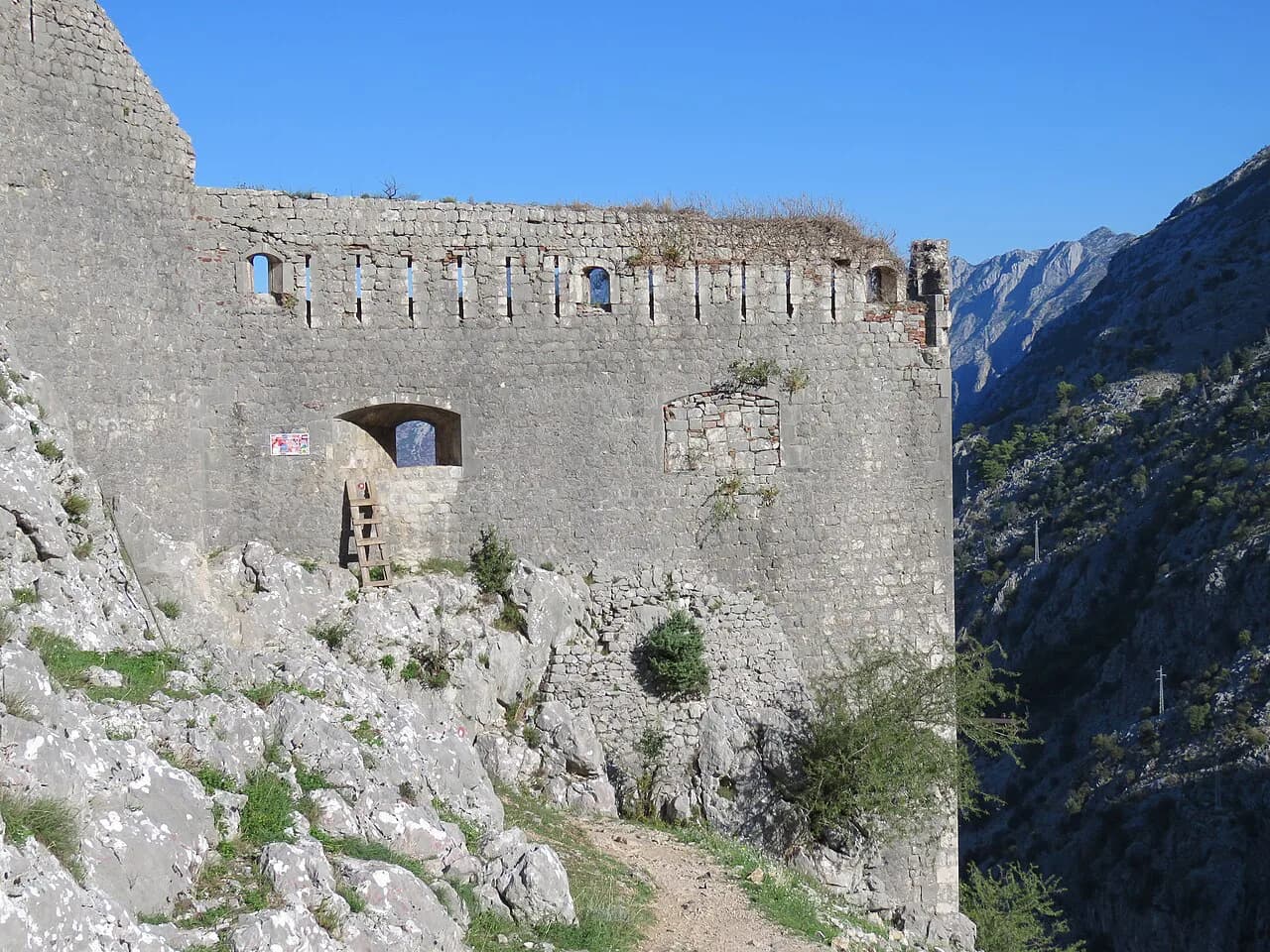
From the Old Town the path gains height quickly on stone steps and zigzags through the fortification walls, giving repeated views over the rooftops and the bay. Above the walls the route steepens through pine forest, and after roughly twenty minutes of forest the surface turns into steep, loose rocky ground that demands hands in places.
That scrambly stretch is the crux of the climb: the rock is loose underfoot and the exposure is real on the steeper sections. Take it slowly, keep your weight over your feet and avoid pulling on loose stone.
Higher up the path settles onto the Lovćen ridge and the angle eases as you approach the plateau and the road network near the summit. From there it is a short walk on a marked path to the mausoleum approach.
Distance, ascent and time for the climb
Allow roughly four to five hours for the ascent from Kotor to the Lovćen ridge, and treat that figure as a guide rather than a promise. The climb is continuous, so your pace on the loose rock decides the total, and a slow descent on the same ground can take nearly as long as the way up.
The gain is brutal by any standard: you climb from sea level to a summit over 1,600 m (5,250 ft) high without a lift or vehicle. This is a strenuous full-day outing, not a half-day walk, and it suits hikers who are already comfortable with long, steep ascents.
If that profile sounds too much, split it. Ride the cable car up and walk the plateau, or climb one way and descend by lift so you avoid retracing the scrambling section with tired legs.
The summit: Njegoš Mausoleum and the 461 steps
Petar II Petrović Njegoš, the poet-bishop who ruled Montenegro in the 19th century, is buried at the highest point of Lovćen's twin peaks in a colonnaded granite mausoleum designed by Ivan Meštrović. You enter through a tunnel cut into the rock, and interior photography is restricted.
The final approach to the mausoleum is a flight of 461 stone steps, steep but well made and fitted with handrails. These are separate from the fortress stairs above the Old Town, so budget time for them at the end of the climb rather than thinking the summit is reached once the scrambling ends.
Entry to the national park is charged per person per day, and the mausoleum fee is listed separately on the official park website at nparkovi.me. Rates change, so confirm the current figures before you set out rather than relying on older trip reports.
Getting back down: trail, cable car or road pickup
Retracing the Ladder of Kotor is the simplest return but the least kind to your knees: the loose rocky section is harder to descend than to climb, and it adds hours to the day. Many hikers prefer to descend by lift or arrange a road pickup on the plateau.
The cable car links the lower station in Kotor with an upper station on the Lovćen plateau in 11 minutes, which makes it a natural one-way descent after the climb. It runs daily, weather permitting, and it stops in high wind, so treat the serpentine road as the fallback.
Round-trip cable car tickets are listed at €20 per adult, with parking at the lower station charged by the hour; check current prices and dates before you go. Published hours run from 09:00 to 19:00 with a later Tuesday opening and a last ascent in the early evening, and the Kotor Cable Car posts current times at kotorcablecar.me.
Cable car as a non-hiking alternative
If the scramble does not appeal, ride up and walk the marked path from the upper station to the mausoleum steps. The gondola takes 11 minutes from the lower station in Kotor to the plateau, and the ride itself gives you the aerial view of the bay that walkers earn slowly. If you are comparing lift-assisted mountain days across the region, hiking in Slovenia offers similar summit shortcuts with its own cable cars and plateau paths.
Drivers have a second option: the old serpentine road climbs from the Kotor waterfront to the plateau in 25 hairpin bends, reaching about 1,200 m (3,937 ft) in roughly half an hour. It is dramatic and narrow, with drops on the outside of many bends, so it suits confident mountain drivers.
Hiking on the Lovćen plateau: the Wolf Trail
Once you are on top, the plateau opens into rolling karst walking that is far gentler than the climb. The Wolf Trail makes a good add-on: about 7 km (4.3 mi) taking three to four hours, with the appeal being the open views rather than difficulty.
This is best treated as guidance from walkers who have done it rather than an official park measurement, so match it to your remaining energy. Hikers who reach the plateau with legs left will enjoy it more than those who have already spent five hours on the scramble.
When to go: months, temperatures and afternoon weather
May and June bring the clearest summit views and wildflowers across the plateau, while September and October offer good visibility, autumn light and shorter lift queues. July and August are the busiest but the most weather-reliable months.
The summit runs roughly 8 to 10°C cooler than Kotor, so a T-shirt that feels fine at sea level will not be enough on the plateau. Pack a light jacket in summer and a proper insulating layer in spring and autumn.
Lovćen makes its own weather, and the summit can sit in cloud while Kotor is sunny. Check a mountain forecast the evening before, start early, and be ready to turn around if storms build in the afternoon.
Food, water and Njeguši village
Njeguši sits on the plateau about 20 minutes from the mausoleum by road, and it is the place to eat after the climb. Family restaurants serve platters of the village's smoked prosciutto and firm white cheese with bread, typically for around €10 to €15.
The prosciutto is cold-smoked over beech and cured in mountain air, which makes it drier and smokier than the Dalmatian versions. Vacuum-packed portions travel well if you want a food souvenir.
Water is the weak point of the day. Carry enough for the ascent and the summit steps before leaving Kotor, and refill in Njeguši or at the plateau facilities rather than planning on springs along the scrambling section.
Park entry and mausoleum access rules
Lovćen National Park charges a daily entry fee per person, and the mausoleum has its own entry arrangement listed on the official park site. Budget for both and check nparkovi.me before you travel, since fees are revised periodically.
Inside the mausoleum chamber, photography is restricted, so plan your summit photographs for the outdoor viewpoints. Dress for a memorial site, and keep noise down in the small, austere chamber.
Plan Your Kotor to Lovćen Day
Choose your format before you pack: climb the Ladder of Kotor one way and ride the cable car down if you want the full ascent without the knee-jarring descent, or take the lift both ways and walk the plateau and mausoleum steps. Either way, start early for clearer views and cooler rock.
Build the day around the wind and the cloud rather than a fixed schedule, since the cable car stops in high wind and the plateau often sits under its own weather. If the forecast looks marginal, keep the serpentine road as your road fallback and save the scramble for a clearer morning.
Frequently Asked Questions
Can you hike from Kotor to Lovćen?
Yes. The Ladder of Kotor, also called Škalje, climbs from behind the Old Town through the fortress walls, into pine forest and onto steep rocky ground before reaching the Lovćen ridge. It is a strenuous full-day climb rather than a casual walk, and the upper section involves loose rock and scrambling.
How long does the Ladder of Kotor take?
Allow roughly four to five hours for the ascent to the Lovćen ridge, treated as a guide rather than a fixed number. The loose rocky section slows most hikers, and a descent on the same ground can take nearly as long. Riding the cable car down saves hours.
How many steps are there to the Njegoš Mausoleum?
The final approach to the mausoleum is a flight of 461 stone steps, steep but well made with handrails. These are separate from the fortress stairs above the Old Town, so plan for them at the end of the climb.
Is the Lovćen cable car useful for hikers?
Yes, mainly as a one-way descent after climbing the Ladder of Kotor, which avoids retracing the scrambling section with tired legs. It runs daily, weather permitting, and stops in high wind, so the serpentine road is the road fallback.
What is the Wolf Trail in Lovćen National Park?
A plateau walk of about 7 km (4.3 mi) taking three to four hours, best used as an add-on for hikers who reach the top with energy left. Treat the figures as guidance from walkers rather than an official park measurement.
When is the best time to hike from Kotor to Lovćen?
May and June bring the clearest summit views and wildflowers, and September and October offer good visibility, autumn light and shorter lift queues. The summit runs roughly 8 to 10°C cooler than Kotor, so bring a layer even in summer.
Sources
Trail notes for your next trip
Optional updates when we add or revise hiking guides.
You might also like
Continue reading
More guides you'll find useful