Tour du Mont Blanc Itinerary: 11 Stages, Distances and Times
Plan your Tour du Mont Blanc itinerary stage by stage, with distances, ascents, walking hours, the 5-day highlights version and the rest-day options.
On this page
The Tour du Mont Blanc is a 180 km (112 mile) circuit of the Mont Blanc massif that crosses France, Italy and Switzerland, gaining and losing roughly 10,600 m (35,000 ft) along the way. It suits fit hill walkers who can handle five to seven and a half hours on their feet day after day, and its highest point on the standard route stays at 2,584 m (8,478 ft).
This itinerary breaks the circuit into the standard eleven walking days from Les Houches back to Les Houches, names the village or hut you sleep in each night, and flags the days where you can choose a harder high variant or a lift-assisted shortcut.
The circuit at a glance
The full route starts and finishes in Les Houches, the village in the Chamonix valley just below the massif, and turns anti-clockwise around the mountain. Total height gain is around 10,600 m (35,000 ft), spread over eleven stages that trend between five and seven and a half hours of walking per day.
Because the circuit is circular and never more than a day's walk from a road or village, every stage has an exit point, which matters when you are juggling a fixed flight home or a sudden change in the weather. The villages of Courmayeur, Champex and Argentière all sit directly on or beside the route and work as rest stops.
How many days you need
The trail is officially divided into eleven stages, and most trekkers take eleven days of walking with a day or two of slack either side of that figure. Fastpackers compress the circuit into about a week, while others walk just a section and treat the rest as a separate trip.
A sensible place to build in a rest day is Courmayeur, an Italian town on the route with full facilities and a markedly different feel from the French side. If you want a second easy day, Champex with its lake or Argentière in the upper Chamonix valley both break the walking without taking you off the circuit.
Walkers with only a week often split the circuit into north and south halves, taking the Chamonix valley stages in one trip and the Italian and Swiss stages in another. The eleven-stage plan below is the full version; the five-day highlights route further down is the short option that still crosses all three countries.
Getting to the start and away from the finish
Les Houches sits a short valley journey below Chamonix, and the TMB does not pass through Chamonix itself, so plan a transfer or a valley train or bus ride to the trailhead at the start. The same valley transport network serves the villages along the Chamonix stages, which is how most trekkers reach the start and leave the finish.
Lifts shorten or rescue the final two stages above the Chamonix valley. La Flégère connects to Les Praz between Chamonix and Argentière, Planpraz connects to Chamonix, and Le Brévent has a cable car link down to Planpraz and the town, so you can drop off the high balcony path without walking the full descent.
On the French side at Col de Balme a chairlift from Le Tour offers alternative access to the pass, and the Col de la Forclaz above Trient sits directly on the Chamonix to Martigny road, giving the Swiss stages a road escape. Check the operating season for each lift before you build a shortcut into your day.
Stage 1: Les Houches to Les Contamines
The opening day climbs to Col de Voza at 1,653 m (5,423 ft) before dropping through the Montjoie valley villages of Bionnassay, le Champel and Tresse and pulling up to Les Contamines. It is a gentle introduction on paper, but the legs are cold, so treat the first climb with respect rather than racing it.
The alternative over Col de Tricot at 2,120 m (6,955 ft) is harder and adds height, but it puts you close to the Bionnassay glacier. Choose it only if you have arrived fit and the weather is settled.
Stage 2: Les Contamines to Les Chapieux
From Les Contamines the route follows the Torrent le Bon Nant to the church of Nôtre Dame de la Gorge, where the real climbing starts up a steep old track to Col du Bonhomme at 2,329 m (7,641 ft) and on to Col de la Croix du Bonhomme at 2,479 m (8,133 ft). It is 21 km (13 miles) with 1,430 m (4,692 ft) of total ascent, the toughest single day on many walkers' schedules.
The descent to les Chapieux is grassy and steady, and the day ends in a hamlet rather than a town, so carry what you need for the evening. If this stage worries you, split the TMB at Les Contamines and walk the two halves in separate trips.
Stage 3: Les Chapieux to Rifugio Elisabetta
A gentle climb up the Vallée des Glaciers passes the Refuge des Mottets before the ascent to Col de la Seigne at 2,516 m (8,255 ft), where you cross into Italy. The view from the col stretches over the Val Veni and the Italian Val Ferret to the Grand Col Ferret three stages ahead, with the massif on your left.
You finish at Rifugio Elisabetta, perched at the lip of the Vallon de la Lée Blanche below three glaciers. It is a genuine mountain hut night, so pack a liner and cash for the small extras wardens charge for showers.
Stage 4: Rifugio Elisabetta to Courmayeur
The route descends towards Val Veni with the Glacier du Miage on your left, then takes a high balcony line along the northern slopes of Mont Favre for better views of Mont Blanc across the valley. From Col Checroui it drops steeply down ski runs to Dolonne and into Courmayeur.
Courmayeur is the natural halfway break: a busy Italian town with hotels, shops and restaurants, and the best base for a rest day on the circuit. The steep descent on tired knees is the trade-off for the balcony views.
Stage 5: Courmayeur to Rifugio Bonatti
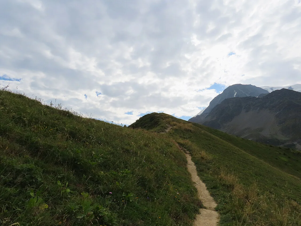
This is a climbing day, passing Rifugio Bertone on the way to Rifugio Bonatti, with the option of the long grassy ridge of Mont de la Saxe. The ridge is a variant rather than the main trail, but it gives the finest outlook on the Mont Blanc range opposite, crossing Col Sapin at 2,436 m (7,992 ft) and Pas Entre Deux Sauts at 2,524 m (8,281 ft) before dropping to the hut.
Rifugio Bonatti, named after the climber Walter Bonatti, sits on a shelf opposite the Grandes Jorasses and is known for generous food. Book this hut early, because everyone on the standard schedule wants the same bed.
Stage 6: Rifugio Bonatti to La Fouly
A hillside traverse from the hut gives way to the stiff climb to Grand Col Ferret at 2,537 m (8,323 ft), with the Glacier de Pre de Bar flowing down from Mont Dolent above you. Cross the col and you are in Switzerland, descending past the farm buildings of la Peule and through Ferret to La Fouly.
The Swiss side is greener and quieter than the Italian valleys, and La Fouly is a calm village in some of the most charming scenery on the whole trek. If you are doing the five-day highlights version, this is the ground it covers on its second day.
Stage 7: La Fouly to Champex-Lac
This is the easiest and lowest day of the circuit, with no pass to cross. It wanders down-valley past meadows and the Drance de Ferret, along the wooded glacial moraine of the Crête de Saleina, through Praz de Fort and Issert, then climbs gently through woods to Champex. If you enjoy this gentler valley walking and want more of it nearby, the Annecy hiking guide covers lake and ridge trails on the French side of the Alps.
Champex sits in a saddle between le Catogne and la Breya with a small lake at its centre, which makes it the best place on the route to take a second rest day. The five-day version walks La Peule to Champex-Lac as 23 km with 580 m of gain and 1,200 m of descent.
Stage 8: Champex-Lac to Trient
The TMB splits here. The main route climbs through woods to the alp of Bovine at 1,987 m (6,519 ft) and is the easier choice, while the alternative climbs to the Fenêtre d'Arpette at 2,665 m (8,743 ft) on high, rocky ground. Both finish at Col de la Forclaz on the Chamonix to Martigny road, or drop to Trient in the valley.
The Fenêtre d'Arpette is the more scenic and wild option, but it demands good balance and foot placement on boulder fields and steep loose terrain, and it should only be attempted in stable weather. The five-day itinerary gives the day 14 km with 800 m of gain and 960 m of descent whichever line you take to Trient.
Stage 9: Trient to Argentière
Leave Trient past the hamlet of le Peuty and climb steeply to Col de Balme at 2,131 m (6,991 ft), where the ground changes character and the Mont Blanc view opens from the French side. A small refuge at the pass sells food and drinks, and a chairlift from Le Tour on the French side gives an alternative way up or down.
Follow the route over the narrow ridge of Aiguillette des Posettes at 2,201 m (7,221 ft) and down the crest to Tré-le-Champ, a hamlet with a fine view of the Aiguille Verte. From there it is a short hop to Argentière, the informal centre of the upper Arve valley.
Stages 10 and 11: Tré-le-Champ to Les Houches
Climb from Tré-le-Champ into the Aiguilles Rouges nature reserve, where ibex and chamois are a real possibility, pass the Aiguillette d'Argentière and take the ladders up the rocky hillside. Lac Blanc at 2,532 m (7,717 ft) is worth the detour, and the route then traverses to the hut and cable car station at La Flégère, which connects to Les Praz in the valley.
The last day follows the Grand Balcon Sud above the forests on the north-west side of the Arve valley, a stretch of about 90 minutes of easy walking with a big drop below. Reach Planpraz, then Col de Brévent, and the short link to the summit of Le Brévent at 2,525 m (8,284 ft) is perhaps the best viewpoint on the entire tour.
From the Brévent, the final descent runs down rocky slopes past Refuge de Bellachat and into the forests above Les Houches. That closes the loop and puts you back in the Chamonix valley with trains and buses onward to Geneva or beyond.
A five-day highlights itinerary
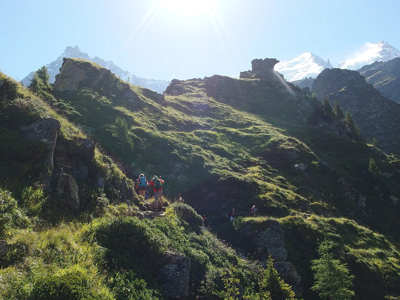
If you only have a working week, a five-day hut-to-hut version starts in Courmayeur and finishes in Chamonix, covering the Italian and Swiss highlights plus the Col de Balme crossing into France. It expects a reasonable fitness level but no climbing, with a few straightforward ladder sections and wild, uneven ground underfoot.
Day one is short: Courmayeur to Rifugio Bertone, 4.5 km with 760 m of gain, so you can arrive late and still reach the hut. Day two is the big one, Rifugio Bertone to Alpage de La Peule, at 20.5 km with 1,200 m of gain and 1,100 m of loss, passing Rifugio Bonatti and crossing Grand Col Ferret into Switzerland.
Day three descends to La Fouly before the easy valley walk to Champex-Lac, 23 km with 580 m of gain. Day four is Champex to Trient, 14 km with 800 m of gain, taking either Alp Bovine or the Fenêtre d'Arpette, and day five climbs out of Trient to Col de Balme, follows the Posettes ridge to Montroc, and finishes with a train back to Chamonix.
The five-day format is offered as a self-guided hut-to-hut package with half-board mountain huts, a digital guidebook and GPS navigation, and the tour is priced per person. Read the inclusions carefully before you book and compare it against a self organised trip, since tourist tax, airport transfers and extra nights sit outside the package.
Huts and accommodation
Accommodation on the TMB is one of the reasons people return: a mix of mountain huts, campsites, auberges, modest hotels and a few luxurious places, mostly family run. The huts follow the standard Alpine pattern, with dormitories for the many and private rooms in some huts subject to availability.
Expect simple food in large portions, cake, beer and coffee, and showers that sometimes run on a token system for a small extra payment. Book beds as early as you can, because the huts on the standard eleven-stage schedule fill up fast and the longer you wait the fewer options remain.
When to go
The commercial season runs from the start of July to the middle of September, set by the chance of late snow patches on the high passes into late June and the weather turning in late September. The five-day highlights version operates from June to September.
Summer snowfalls are rare but they happen, usually leaving an inch or two on the higher passes that disappears within a day or two. Carry a map and compass and know how to use them, because a light snow cover hides the ground features and turns an easy path into a navigation problem.
Hazards and terrain
The TMB is a walk, not a climb, with no glaciers to cross and no via ferrata, but three sections of the standard route above the Chamonix valley use metal ladders or steps across rocky ground. The hardest two of these can be avoided by alternative routes, and none of them should bother a regular hillwalker.
The variant cols at Col des Fours and the Fenêtre d'Arpette cross steeper, looser and more technical ground than the main line, so bring better foot placement and a settled forecast rather than pushing through in cloud. Afternoon storms are a summer fixture, so start early on the long days and be ready to turn around.
Clockwise or anti-clockwise
Anti-clockwise is the more popular direction, and it has two practical advantages: Mont Blanc stays in front of you rather than at your back, and there are fewer steep descents to punish your knees. The official start is in Les Houches, just south of Chamonix, and the circuit returns there.
Clockwise walkers get a quieter route in places and the Italian and Swiss stages first, but they trade that for more downhill on the steep sections. If you plan on a shortened trip, match your direction to the section you most want to walk, since the five-day highlights version runs from Courmayeur to Chamonix rather than the full loop.
Plan Your Visit
Build your itinerary around the hard days first: Stage 2 from Les Contamines to les Chapieux at 21 km and 1,430 m of ascent, Stage 5 with the Mont de la Saxe option, and whichever version of Stage 8 you choose. Fit rest days at Courmayeur and Champex, and use the La Flégère, Planpraz and Le Brévent lifts as planned shortcuts rather than emergencies.
If you want the full picture of the mountain before you commit, work through the wider mont blanc hiking guide, which sets the circuit alongside the other walks and lifts in the massif. Book huts early, keep two days of slack in the schedule, and the TMB will give you a well paced eleven-stage loop through three countries.
Frequently Asked Questions
How many days does the Tour du Mont Blanc take?
The trail is officially divided into eleven stages, and most trekkers walk it in eleven days with a day or two of slack for weather or rest. Fastpackers can complete the circuit in about a week, and many hikers walk just a section over a few days.
Is there a 5-day Tour du Mont Blanc itinerary?
Yes. A five-day hut-to-hut version starts in Courmayeur and finishes in Chamonix, crossing Italy, Switzerland and France. It covers the Italian balcony path, Grand Col Ferret, Champex-Lac, Trient and Col de Balme, and works for fit hikers with limited time.
How hard is the Tour du Mont Blanc?
It is a long walk rather than a climb, with no glacier crossings or via ferrata and only a few straightforward ladder sections. The challenge is the daily distance and elevation, the long descent days on tired legs, and the rocky terrain on the variant cols.
Which direction should you hike the Tour du Mont Blanc?
Anti-clockwise is the more popular choice because Mont Blanc stays in front of you and there are fewer steep descents. Clockwise suits walkers who want to start with the Italian and Swiss stages, or who want the Chamonix valley in the middle of the trip.
Where does the Tour du Mont Blanc start and finish?
The official start is in Les Houches, the village below Chamonix, and the circuit returns there. Note that the trail does not pass through Chamonix itself, so plan a valley train or bus between the town and the trailhead at the start and end.
When is the best time to hike the Tour du Mont Blanc?
The season runs from early July to mid-September, when the high passes are clear of late snow and the weather is most reliable. The five-day highlights version operates from June to September. Snow can fall in summer, so pack a map, compass and extra layers.
What are the longest stages on the Tour du Mont Blanc?
Les Contamines to les Chapieux is often called the toughest, at 21 km with 1,430 m of ascent, and Courmayeur to Rifugio Bonatti is close behind. In the five-day version, the Rifugio Bertone to La Peule day is the longest at 20.5 km.
Do you need to book accommodation in advance on the Tour du Mont Blanc?
Yes. The huts on the standard eleven-stage schedule fill up quickly, and the sooner you book the more choice you have over private rooms and half-board beds. Expect dormitories in most huts, with private rooms available in some subject to availability.
Sources
Trail notes for your next trip
Optional updates when we add or revise hiking guides.
You might also like
Continue reading
More guides you'll find useful