Hiking in Annecy: Lake, Ridge and Summit Trails
Plan hiking in Annecy with lakeside paths, the Roc de Chère forest, the Angon waterfall, the Veyrier ridge and the steep summit climb to La Tournette.
On this page
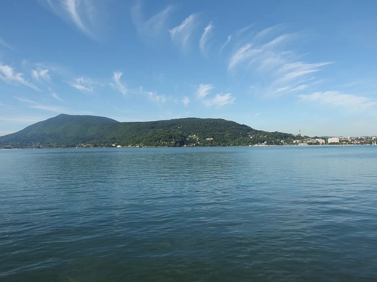
Annecy works as a hiking base because the terrain changes fast: flat shoreline paths in the morning, a wooded headland after lunch, and a 2,300 m (7,546 ft) summit the next day. The lake sits in a trough with mountains rising straight from the water on both sides, so nearly every route opens with a lake view. You can plan a family day and a serious mountain day in the same week without moving accommodation.
Most visitors start in Annecy town itself, where lakeside walks begin at the water's edge, while Talloires, Menthon-Saint-Bernard and Veyrier-du-Lac put you closer to the forest and waterfall trails. Summit routes start higher, from the chalet de l'Aulp or the col de l'Aulp above the western shore. Choosing your base by hike rather than by hotel rating saves more time than any other planning decision.
Why Annecy Works as a Hiking Base
The lake is long and narrow, ringed by a mix of flat shoreline, forested headlands and limestone summits. That means three genuinely different kinds of day out within a short spread of the town. A family can walk the shore while a stronger hiker climbs above it and both meet for dinner in the same village.
The second advantage is shade. Several of the best short routes run through forest before opening onto lookouts, which matters in July and August when the lakeside paths have little cover. Forest approach, then a viewpoint, then a descent is the classic Annecy half-day shape. The Veyrier and Baron walk follows exactly that pattern.
For an overview of every marked route in the area, including those in neighbouring valleys, the local tourism office maintains an interactive map and a free outdoor app with offline maps and elevation profiles.
Distance, Ascent and Time at a Glance
The shoreline circuit of the lake covers roughly 41 to 42 km (25 to 26 mi) and can be done in a day by strong walkers or split over two days with beach and village stops. The Roc de Chère forest walk takes around 2 to 3 hours depending on where you start. The Cascade d'Angon round trip generally takes 2 to 3 hours depending on your level.
The Mont Veyrier and Mont Baron ridge route lasts about 3 hours out and back, with more time if you continue along the ridge. La Tournette is the big day: the summit stands above 2,300 m (7,546 ft), the climb gains over 1,400 m (4,593 ft) depending on the route, and the round trip takes 5 to 6 hours including breaks and weather stops.
As a nearby extension outside the Annecy basin, the Sentier de la Crête in the Massif des Bauges runs 15 km (9.3 mi) with 550 m (1,804 ft) of ascent and mixes wooded sections with exposed open ridge. Treat it as a separate day and plan transport accordingly.
Lakeside Walking: the Shoreline Circuit
The full circuit of the lake runs past Talloires, Menthon-Saint-Bernard and Veyrier-du-Lac, with beaches, nature reserves and ports breaking up the kilometres. The route is safe and suitable for a family outing, and the landscape shifts constantly as you move between shore, village and reed bed. Two days let you swim and eat properly; one day is a long, flat push.
If you only want a taste of it, pick a stretch between two villages and use the local bus or a boat to return. That converts a 41 km commitment into a two- or three-hour afternoon. The trade-off is that the most popular village stretches get busy in high summer, so walk early or late.
Le Roc de Chère: Forest Paths Between Talloires and Menthon-Saint-Bernard
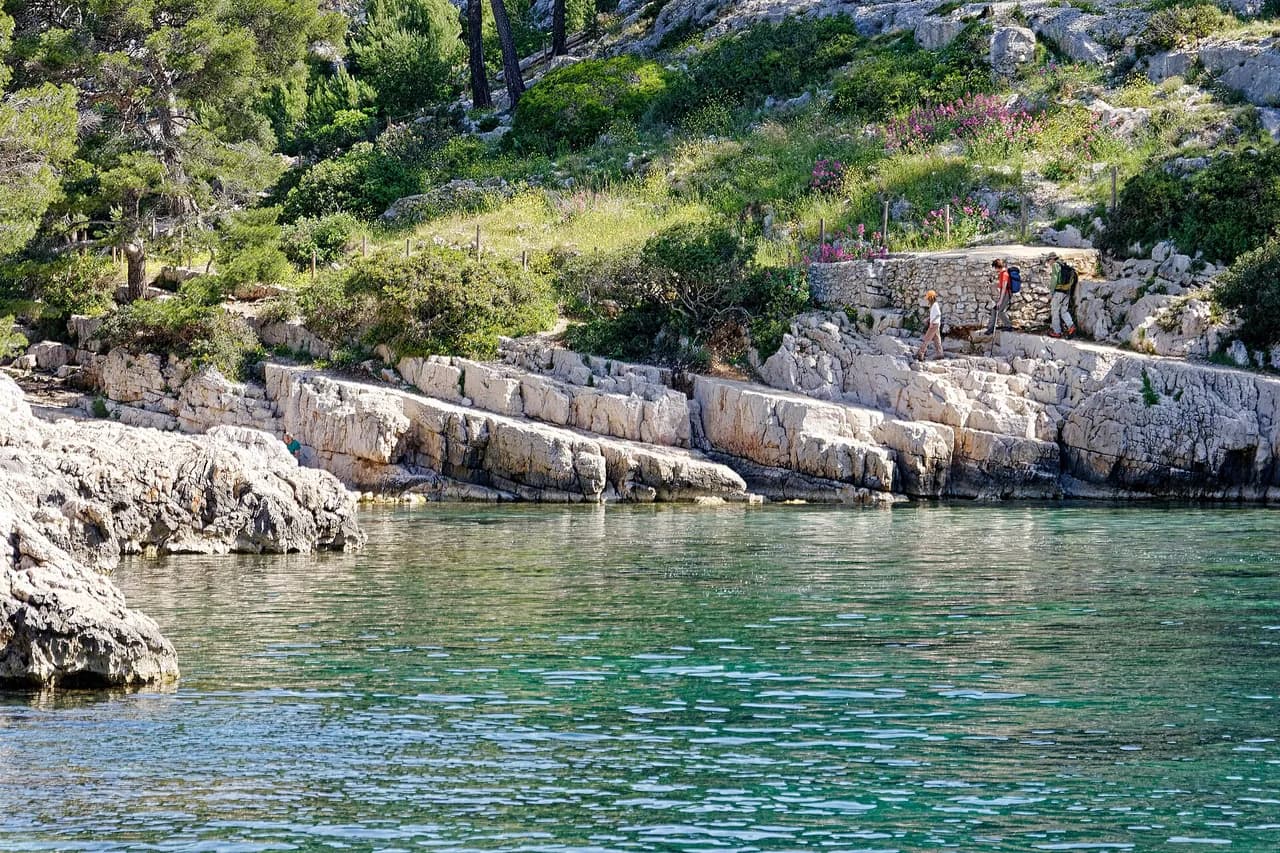
The Roc de Chère is a small protected headland between Talloires and Menthon-Saint-Bernard, where trails run partly beside the water and partly through undergrowth. The forest mixes Alpine and Mediterranean species, which makes the walk feel greener and cooler than the open shoreline. Lookouts along the way give wide views over the clear water.
The summit trail is accessible to all, and the walk takes around 2 to 3 hours depending on where you start. Shoes with good grip help on the forest paths after rain, and a swimsuit earns its place because the lakeshore is right there. This is the best short walk for a mixed-ability group or a hot day.
Cascade d'Angon: the Waterfall Walk Above the Lake
The Cascade d'Angon walk starts from Talloires or from near Angon along the D909, where the route branches off onto forest paths. The waterfall drops over 35 m (115 ft), and the cool air around it makes this a favourite summer outing. Halfway along you overlook the lake before descending to the falls.
Allow 2 to 3 hours round trip depending on your level, with a contemplative stop at the water. Arrive early for a parking space and walk early or late in the day to avoid the heat. The falls are a genuinely popular spot, so the quietest hours are the edges of the day rather than midday.
Mont Veyrier and Mont Baron: the Ridge Above Town
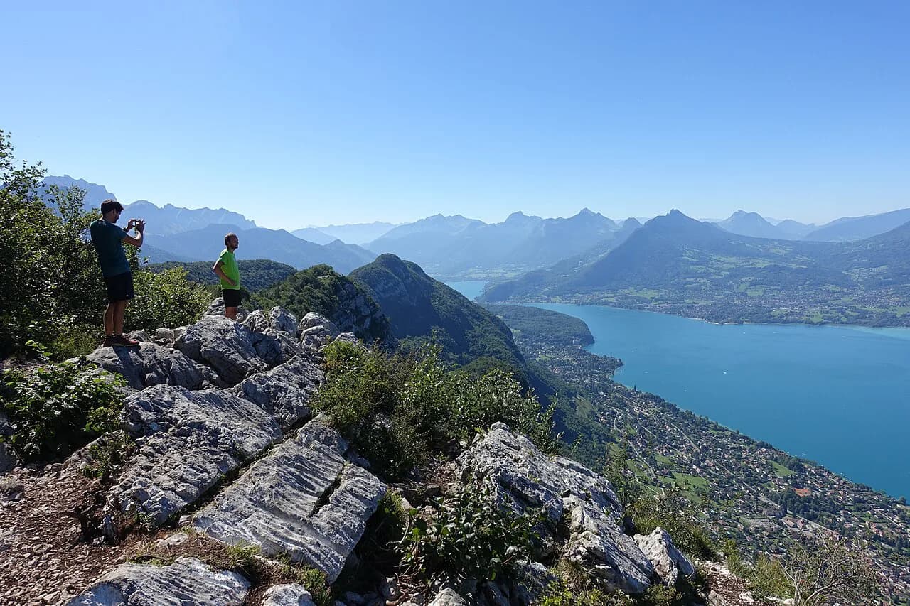
These two peaks rise directly above Annecy and are more accessible than an alpine climb, which makes them the natural first hike of a trip. Start from the Glaisins or La Visitation area and climb gradually through forest that provides shade and coolness. The trail tops out at lookouts over the lake and the Alps beyond.
The out-and-back takes about 3 hours, and continuing along the ridge adds more. On the ridge itself exposure to sun or wind is greater, so carry a layer even on a warm start and plan your turn-around before the afternoon heat builds. Going late in the morning with a picnic at the top is a sensible rhythm.
La Tournette: the Demanding Summit Above the Lake
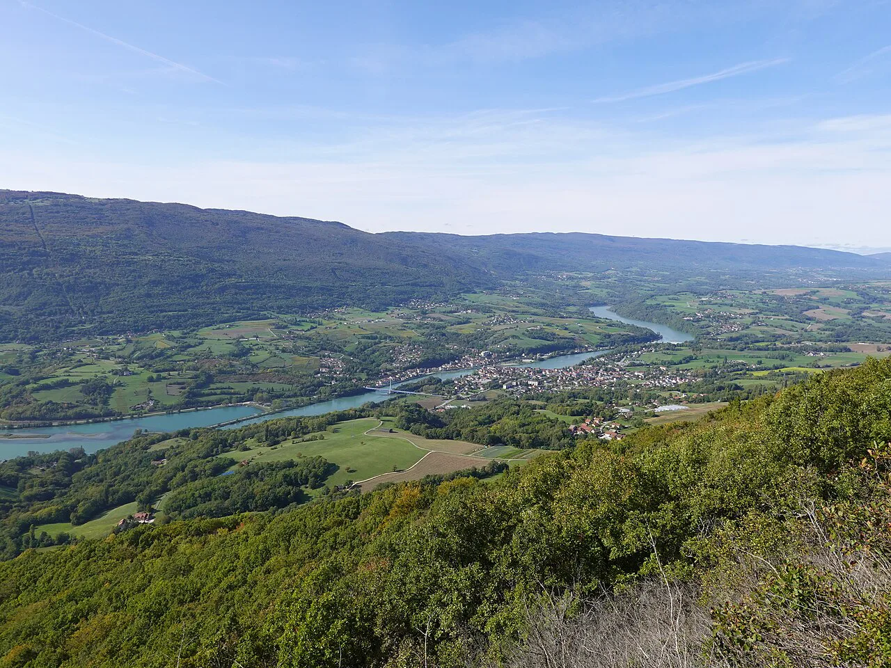
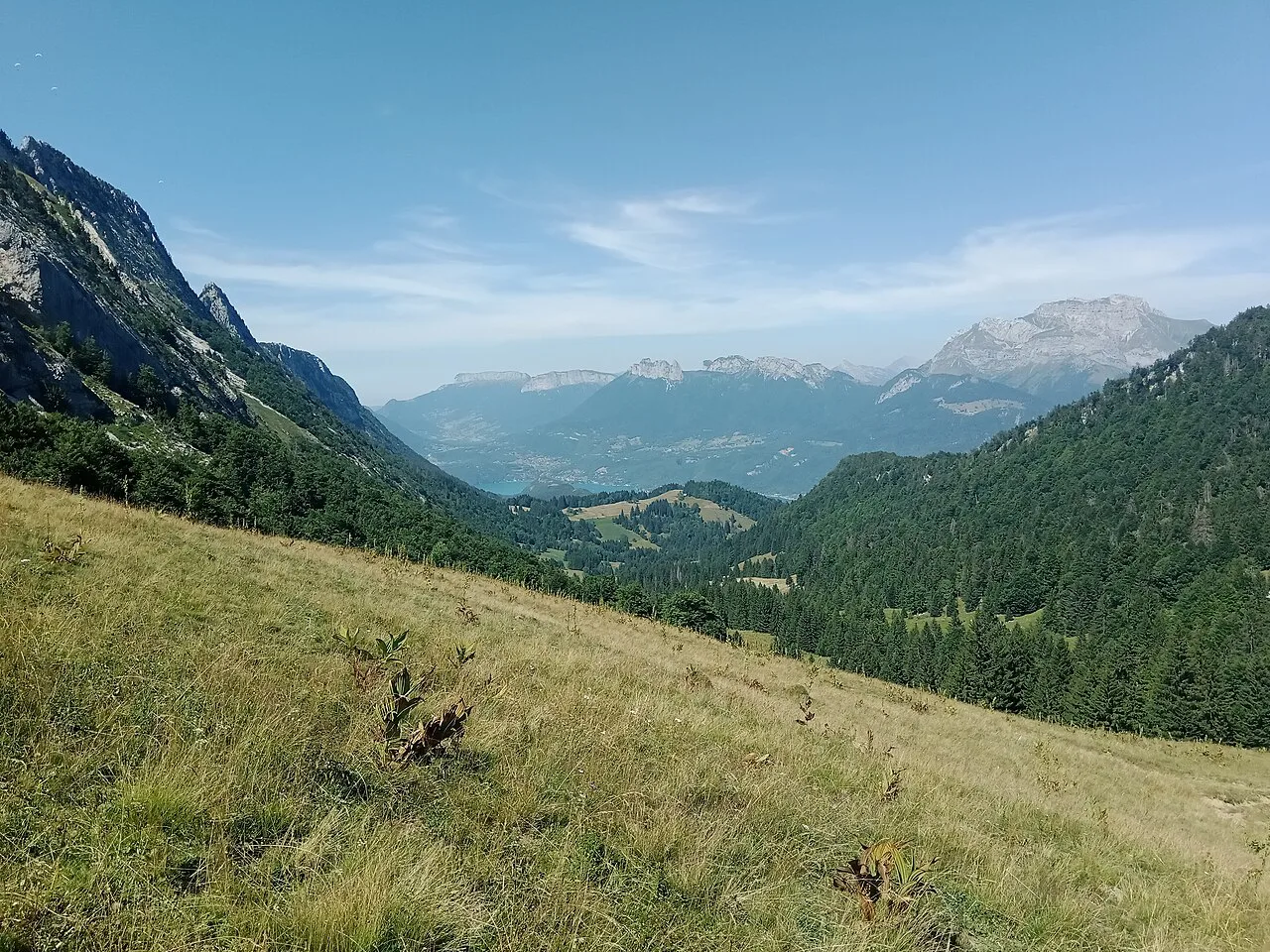
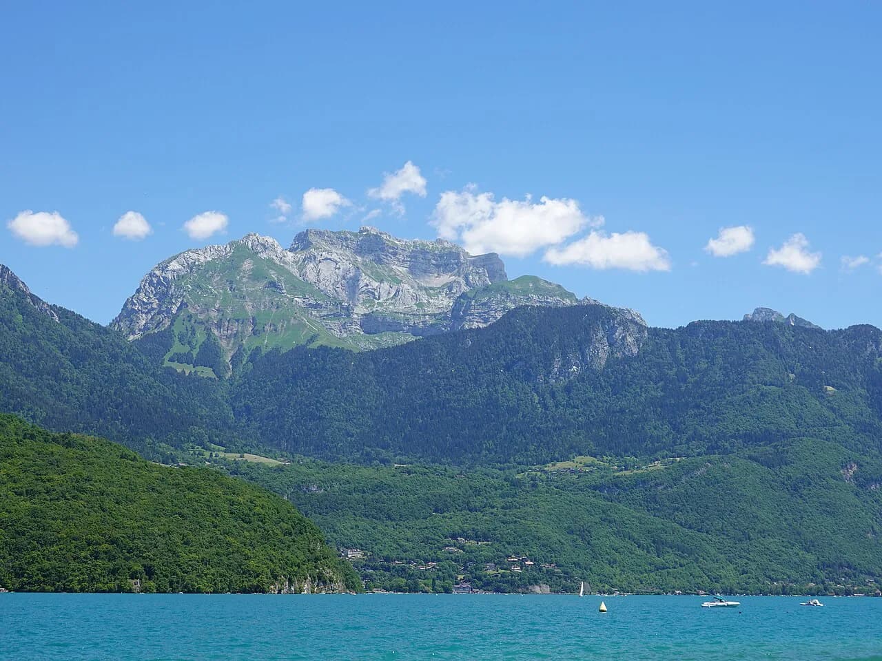
La Tournette is the iconic peak above the western shore, rising above 2,300 m (7,546 ft) and giving a 360-degree panorama that reaches the lake, the surrounding mountains and Mont-Blanc in the distance. The climb passes through forest, alpine meadows and craggy rock, and you may meet herds on the pastures. It is a proper mountain day, not a stroll.
You can start near the chalet de l'Aulp or the col de l'Aulp, which cuts out some of the lower forest but leaves the steep upper ground. The climb is quite steep and the positive vertical drop exceeds 1,400 m (4,593 ft) depending on the route, so the round trip can take 5 to 6 hours including breaks and weather conditions. Early starts matter: afternoon storms on exposed upper ground are the main hazard, and snow can linger on the top section early and late in the season.
When to Go: Month-by-Month Trade-offs
Late spring and early autumn give the best balance for the summit routes: cooler climbing, fewer people and generally clearer views. High summer is the season for the shoreline, the Roc de Chère forest and the waterfall, where shade and water make the heat manageable. Winter concentrates walkers on the lower lakeside paths, while the high ground above the tree line holds snow.
Whatever the month, the pattern of the day matters more than the date. Start early on summit days, keep the forest and waterfall for the hottest hours, and leave the ridge for a morning when wind is light. Afternoon build-ups over the lake are the signal to be off exposed ground.
Getting to Trailheads: Town, Buses and High Car Parks
Lakeside and village trailheads are the easiest: walks to the Roc de Chère, the Cascade d'Angon and the villages along the shore start from Talloires, Menthon-Saint-Bernard and the town itself. For La Tournette, drive or arrange transport up to the chalet de l'Aulp or col de l'Aulp, since the high start is well above the lake. The free Lac Annecy Aravis Outdoor app includes offline maps and elevation profiles for these routes.
If you are relying on buses and your own feet, the planning shifts to which villages connect to which trailheads. A dedicated guide to hiking in Annecy without a car sets out the combinations that avoid a long road walk at either end. The trade-off is less flexibility on summit days, so fix your La Tournette day around the transport you can actually get.
One Day, Two Days or a Week
With one day, choose the ridge above town: forest shade, lake views and a 3-hour round trip leave the afternoon free. With two days, add the Roc de Chère forest and a swim, or swap in the Cascade d'Angon if you want a waterfall and a shorter drive. That pairing keeps one harder and one easier day.
With a week, put La Tournette on the best-weather day and keep the days either side light. Fill the rest with the shoreline circuit split over two days and a village-to-village walk. If you want a second summit day, the Col de la Forclaz hike gives an aerial view over the lake and its surrounding mountains without repeating La Tournette. For a higher, glacier-fed contrast to the Annecy basin, look at hiking in Chamonix as a possible add-on.
Where to Stay: Which Village Suits Which Hikes
Annecy town suits the ridge walk and the shoreline, with everything reachable on foot or by a short bus ride. Talloires and Menthon-Saint-Bernard put the Roc de Chère forest and the Cascade d'Angon on your doorstep and give the easiest access to the western shore. Veyrier-du-Lac sits between the town and the villages, useful if you want a quieter base with quick access to both.
For La Tournette, staying on the western shore shortens the morning drive to the high car parks, which matters when you want an early start. Book accommodation around the hike you care most about rather than trying to be central to everything. A single well-placed base saves more time than a string of one-night moves.
Hazards and How to Respond
The Veyrier to Baron ridge is exposed to sun and wind, so carry a layer and water even on a short day, and turn back before the weather changes. La Tournette adds steep upper ground, lingering snow early and late in the season, and fast-moving afternoon storms; an early start and a firm turnaround time are the response. On the forest and waterfall paths, good grip matters after rain.
The shoreline circuit is technically easy but long, so plan water, food and a bail-out village rather than pushing the full 41 km unprepared. Where a path is busy, the main risk is simply walking at midday heat with no shade. Start early and treat the lake as your water source for a swim, not for drinking.
Maps, Markers and the Local Outdoor App
French waymarking is reliable on the marked routes, but junctions between village paths and forest trails can be confusing without a map. Download the free Lac Annecy Aravis Outdoor app before you go: it offers offline maps, elevation profiles and real-time geolocation, plus information on trail conditions. The tourism office's interactive map shows the full network so you can see how routes connect.
Guided Options and What a Half-Day Panoramic Hike Includes
Guided half-day and full-day panoramic hikes run from Annecy with local mid-mountain guides, who adapt the route to the group's level and cover themes such as mountain pasture life, cheese-making, geology and plants. Routes can be chosen around Le Semnoz, the Col de la Forclaz or the Glières plateau, depending on your preferences and where you are staying. The format suits groups and families with children from about six years old, under parental responsibility.
The guided hike lasts from 2 to 6 hours depending on the route, requires only a moderate fitness level, and includes supervision plus equipment such as poles and headlamps. You need sport clothing, mountain shoes, a small pack, water, a snack, a hat and sunscreen. The price is quoted per person for a base of ten participants and is adjusted with group size, so ask Annecy Aventure for your group's rate rather than budgeting from a headline figure.
Plan Your Annecy Hiking Trip
Build the week around one summit day and one easy day, then fill the gaps with the forest, the waterfall and the shoreline. The ridge above town is the best first outing because it shows you the whole valley and asks for about three hours. La Tournette deserves the clearest forecast you can get.
Pick your base to match your priority: the town for the ridge and shoreline, the western villages for Roc de Chère and the waterfall, and the high road for an early La Tournette start. If snow or storms close the top, the lower routes still make a full day.
Explore more Annecy hiking guides
Frequently Asked Questions
What is the most famous hike near Annecy?
La Tournette is the signature summit above the lake, rising above 2,300 m and giving a 360-degree panorama. Mont Veyrier and Mont Baron are the best-known short ridge walk directly above town.
How long does the La Tournette hike take?
Plan on 5 to 6 hours for the round trip, including breaks and weather stops, with more than 1,400 m of ascent depending on the route. Start early to be off the exposed upper ground before afternoon storms.
Can you hike around Lake Annecy in a day?
The full circuit is roughly 41 to 42 km (25 to 26 mi). Strong walkers can do it in a day, but most people split it over two days to enjoy beaches, villages and swim stops.
Is the Mont Veyrier hike easy?
It is a moderate walk rather than an alpine climb, about 3 hours out and back from the Glaisins or La Visitation area. The ridge is more exposed to sun and wind than the forest approach.
Where does the Cascade d'Angon walk start?
From Talloires or from near Angon along the D909, where forest paths branch off toward the falls. The round trip generally takes 2 to 3 hours.
Sources
Trail notes for your next trip
Optional updates when we add or revise hiking guides.
You might also like
Continue reading
More guides you'll find useful