Mont Veyrier Hike from Annecy: Route, Time and Difficulty
The Mont Veyrier hike climbs from Annecy to a plunging Lake Annecy viewpoint in about three hours round trip, with 600 m of ascent.
On this page
Mont Veyrier rises directly above Annecy, and its summit cross looks over the entire lake and the old town in one plunge. The climb gains 600 m (1,970 ft) from the lakeshore to 1,291 m (4,235 ft) and takes around three hours there and back, which makes it the half-day hike most people in Annecy should do first. It suits fit walkers on a tight schedule, early-season days when higher peaks still hold snow, and anyone who wants a big view without committing to a full alpine summit.
What the summit offers and who it suits
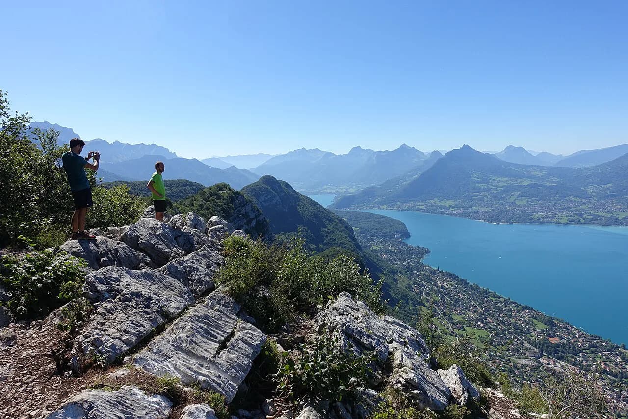
The payoff is a sudden, sheer view: the summit cross sits on a ledge where the ground drops away to the lake and the rooftops of Annecy spread below it. Compared with the long climb to the area's higher summits, this is a short, focused outing: three hours there and back for 600 m (1,970 ft) of ascent, starting from Petit Port in Annecy, according to a local route guide.
That effort-to-view ratio is why Veyrier works for so many people. It fits a morning before an afternoon on the lake, a winter day with clear weather, or a first hike of a longer stay. If you want a wider picture of how it fits with the rest of the area, this hiking in annecy guide covers the full set of routes from lakeside strolls to high summits.
Trailhead and access in Annecy
The classic start is Petit Port on the eastern edge of Annecy, where the trail leaves the lakeshore and enters woodland almost immediately. Petit Port sits at the foot of the Veyrier massif and is reachable on foot from the town center, so the climb begins without a car. From the trailhead you gain height steadily rather than in one burst, which keeps the route honest but manageable.
Because the trailhead is within the town, there is no lift or bus leg to plan; you walk out and back from the lakefront. If you are basing yourself in Annecy and need the wider picture on getting to trailheads around the lake, hiking in annecy without a car covers the options for the town's routes.
Distance, ascent and walking time
Allow around three hours for the round trip from Petit Port, with 600 m (1,970 ft) of ascent over the climb. The summit stands at 1,291 m (4,235 ft). That time reflects a steady pace with stops; fit hikers moving without long breaks will be quicker, and families with small children will need more.
Treat the three-hour estimate as walking time only. Add time at the summit cross, where the view holds you longer than you plan, and add water and food breaks. If you continue to Mont Baron, budget a further 1.5 hours on top of the Veyrier round trip for the extension and return.
Route description: woodland climb to the summit cross
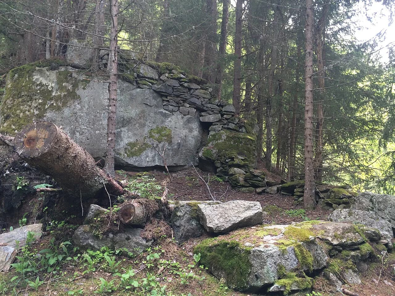
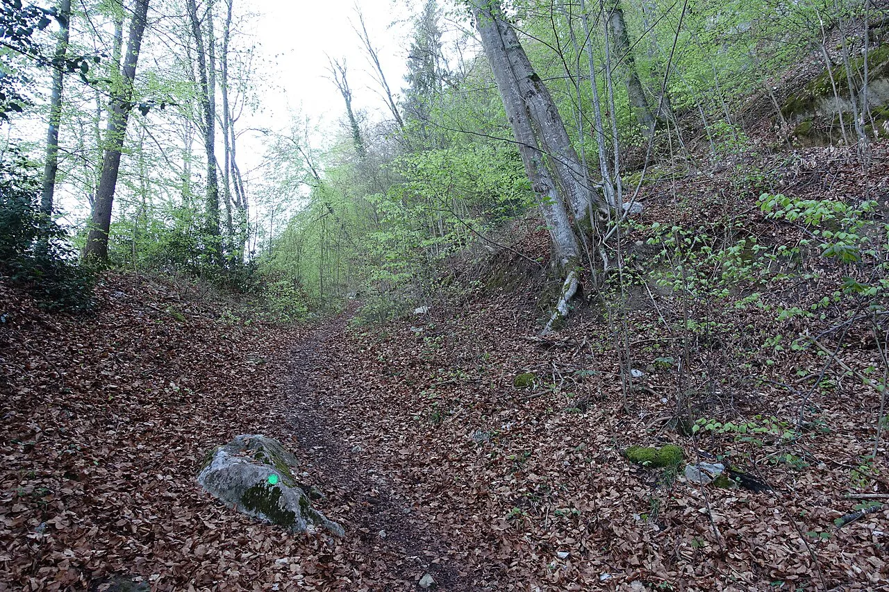
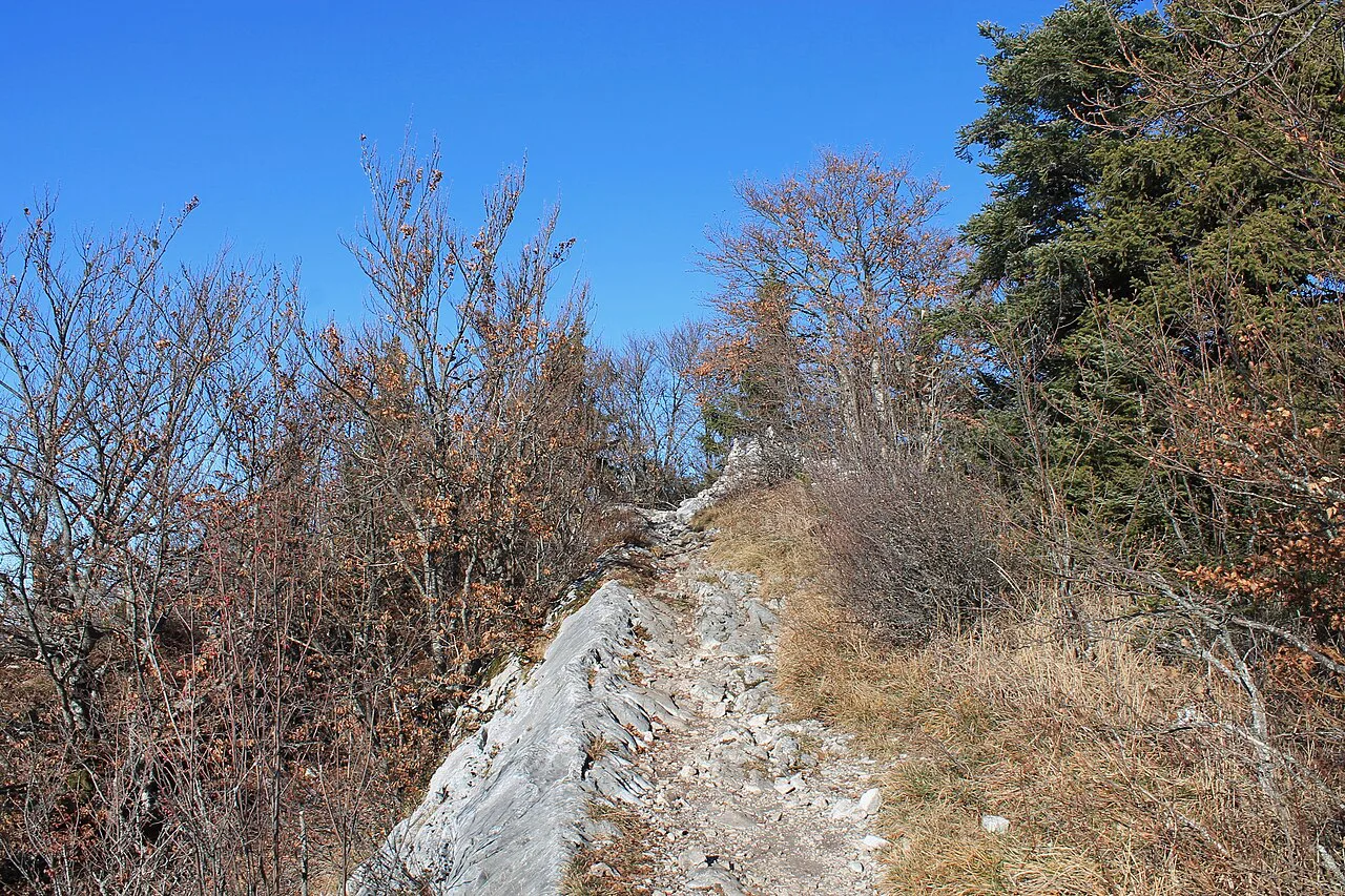
The route climbs through woodland for most of its length, gaining height in a series of long, steady stretches rather than technical steps. One walker's description of the ascent calls it a challenging climb with steep sections and a path strewn with pebbles and stones, so wear boots with grip and watch your footing on the descent.
Above the trees the path opens out and the final stretch leads to the summit cross, where the ground falls away sharply towards the lake. The transition from forest to open ledge is the point to slow down and stay on the marked line, particularly when the rock is wet. The summit is exposed but the approach is not, so the commitment stays modest.
The view over the lake and the old town
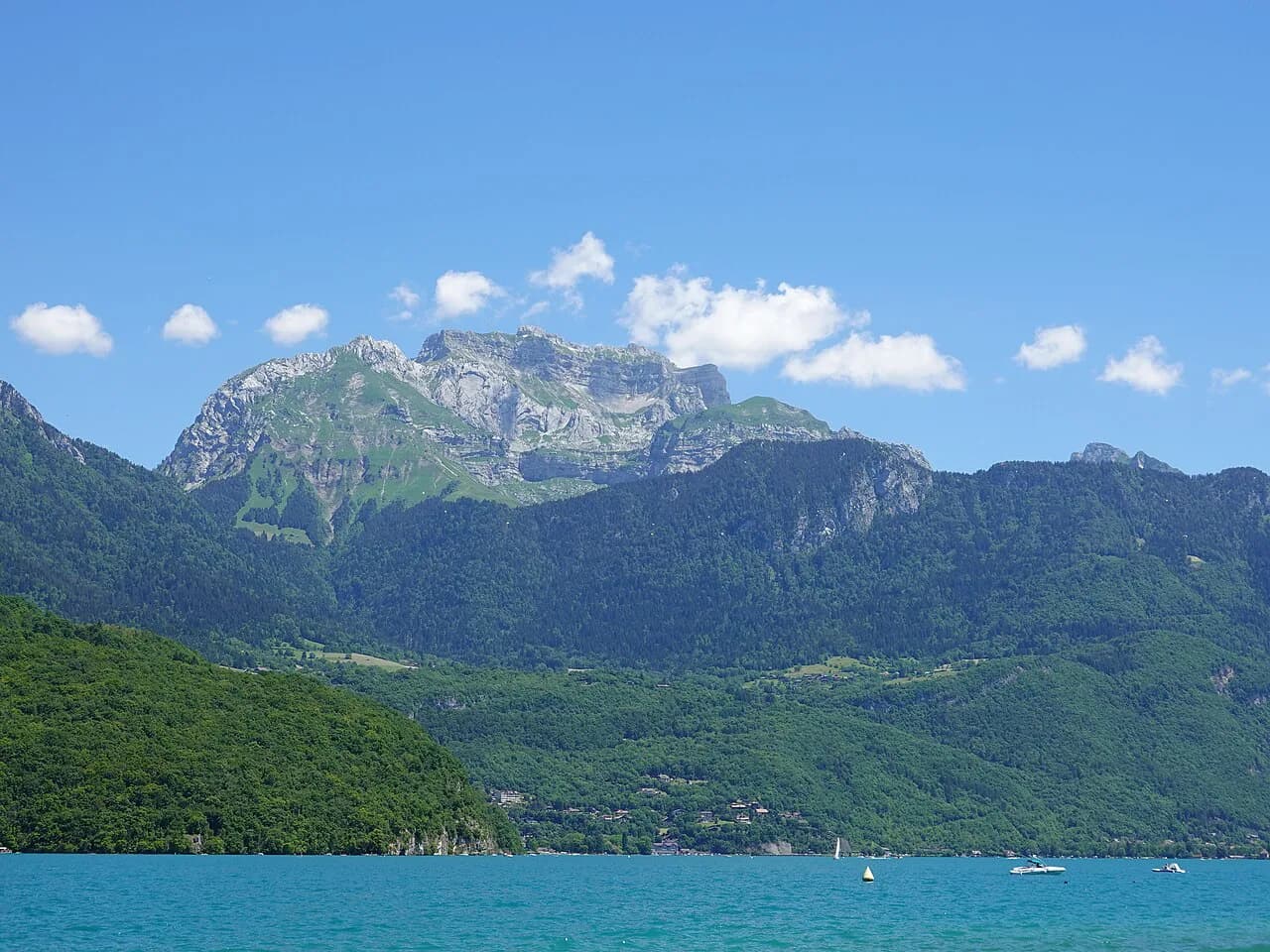
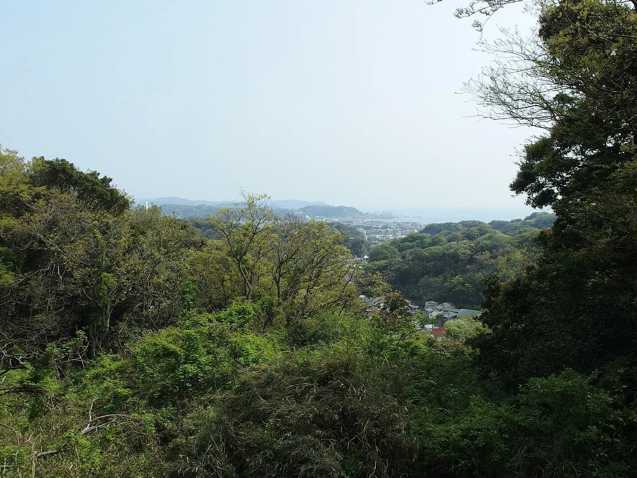
From the cross, the lake runs away south towards the Bauges and Bornes massifs, and the old town of Annecy sits directly below with its canals and rooftops picked out against the water. This is the signature frame of the hike: the lake in one direction, the town in the other, and a drop between them. On a clear day the panorama reaches well beyond the lake to the higher Alps.
Bringing a map or a downloaded offline route helps you pick out the named summits across the water, including the higher peaks above the western shore. The view also shows you the scale of the remaining climbs on your trip, which is useful when you are deciding whether to tackle a bigger summit later in the week.
Extending to Mont Baron
Continuing from Veyrier to Mont Baron adds roughly 1.5 hours and a new viewpoint, so the full out-and-back becomes a longer half-day to full day. The ridge link changes the character of the outing: what was a single climb to a summit cross becomes a traverse with more time on open ground. Decide at the top whether you have the legs and the daylight, because turning back at the cross keeps the day short.
If you want the bigger version of the day, carry enough water and food for the extra hours and check the weather before leaving the cross. The extension suits walkers who already found the Veyrier climb comfortable and who want a second summit without the commitment of a full alpine route.
Difficulty, exposure and the state of the path
Veyrier is a steep, sustained climb rather than a technical one: the challenge is fitness and footing, not scrambling or exposure. Loose stones on the upper path are the main hazard, and the summit ledge is open, so keep children and dogs close near the cross. In wet weather the rock and pebbles become slippery, and the descent demands more attention than the climb.
For hikers who want a true ridge with chains and a harder grade, the la tournette hike is the area's serious summit and a different decision altogether. Veyrier stays a walk; Tournette demands head for heights and careful timing.
When to go: seasons, winter walking and afternoon storms
Veyrier is walkable for much of the year, including in winter in good weather, which sets it apart from the higher summits around Annecy. Spring brings the trail back into condition as the snow retreats, and autumn gives clear, cool days with fewer people on the path. Summer works too, but start in the morning to avoid the afternoon storms that build over the Alps, and expect the path to be busiest then.
Winter walking depends on the state of the path, and the upper sections can hold snow and ice after a cold spell. The climb is steep enough that icy pebbles are a real concern without grip. In any season, rain and low cloud strip away the view that drew you up, and turning back early is the sensible choice.
What to carry on a half-day hike from Annecy
Boots with grippy soles are the one piece of kit that matters most on this route, given the loose stones and steep descent. Carry layered clothing, a windproof layer for the summit ledge, at least 1.5 litres of water and energy snacks, plus sun protection for the open stretches. A basic first-aid kit, a map or offline GPS app, and a charged phone round out the kit for a half-day.
Let someone know your route and expected return time before you set off, and check the forecast for the afternoon. On Veyrier the goal is not to push through changing weather but to protect the view: a clear summit is the whole point, and there is no shame in descending when the cloud comes in.
Where the hike fits among Annecy's bigger summits
Veyrier is the accessible option in a family of Annecy-area hikes with very different costs. The Roc des Bœufs from Montmin, at Col de la Forclaz, offers a lesser-known Bauges summit with a four-hour return and 600 m (1,970 ft) of ascent above the lake. The col de la forclaz hike starts from the same roadside base and gives you a quieter way into the Bauges.
For a bigger day, La Tournette at 2,351 m (7,713 ft) is the area's signature summit and a much harder proposition. Elsewhere in the region, the Dent de Cons above Aix-les-Bains lies outside the immediate Annecy area but offers another ridge viewpoint when the high peaks are still snow-covered. Choosing between them is mostly a question of how much time and climb you want to spend, and if you are looking further afield for a bigger mountain day, the Mont Blanc hiking guide covers multi-day options well beyond the Annecy summits.
Plan Your Visit
The Mont Veyrier hike gives you a lake-and-town panorama for 600 m (1,970 ft) of climbing and about three hours on foot, straight from the Annecy lakeshore. Go early, carry grip-soled boots, and decide at the summit cross whether the extra 1.5 hours to Mont Baron is worth it. Used as a half-day outing, it is the most efficient way to get above the lake before moving on to the higher summits.
Frequently Asked Questions
How long does the Mont Veyrier hike take?
Allow around three hours for the round trip from Petit Port in Annecy, with 600 m (1,970 ft) of ascent. That covers walking time; add stops for the summit and snacks, and add roughly 1.5 hours more if you continue to Mont Baron.
How much ascent is the Mont Veyrier hike from Annecy?
The climb from Petit Port in Annecy gains 600 m (1,970 ft) over the route to the summit cross at 1,291 m (4,235 ft). It is a sustained, steep walk rather than a scramble.
Can you hike Mont Veyrier in winter?
Mont Veyrier is walkable for much of the year, including in winter in good weather. The upper path can hold snow and ice, so take grip-soled boots and turn back if the route is slick or the cloud closes in.
Is Mont Veyrier harder than Mont Baron?
Mont Veyrier is the first climb and a steep but non-technical one. Extending to Mont Baron adds roughly 1.5 hours and a second summit, so it is longer rather than fundamentally more technical.
Where do you start the Mont Veyrier hike in Annecy?
The classic start is Petit Port on the edge of Annecy, where the trail leaves the lakeshore and enters woodland. It is reachable on foot from the town center, and the route climbs steadily to the summit cross.
Sources
Trail notes for your next trip
Optional updates when we add or revise hiking guides.
You might also like
Continue reading
More guides you'll find useful