La Tournette Hike: Route, Ascent and Trailhead Guide
Plan the La Tournette hike above Lake Annecy from Chalet de l'Aulp de Montmin: distance, ascent, walking time, the Col du Varo and summit terrain.
On this page
La Tournette is the standout summit day above the western shore of Lake Annecy, a climb that starts in farm pastures at Talloires-Montmin and finishes on rock with the lake and the French Alps spread out below. It suits hikers with a full day to spare and the fitness for a sustained climb of nearly 900 m (about 2,900 ft), not first-time walkers looking for a gentle lake viewpoint.
The route is an out-and-back rather than a loop, so you retrace your steps from the summit. Two named waypoints do most of the navigation work: the Chalet de l'Aulp de Montmin near the start and the Col du Varo saddle on the way up. This guide covers access, the mapped figures, the terrain in order and the season that makes the summit worth the effort.
Where La Tournette sits above Lake Annecy
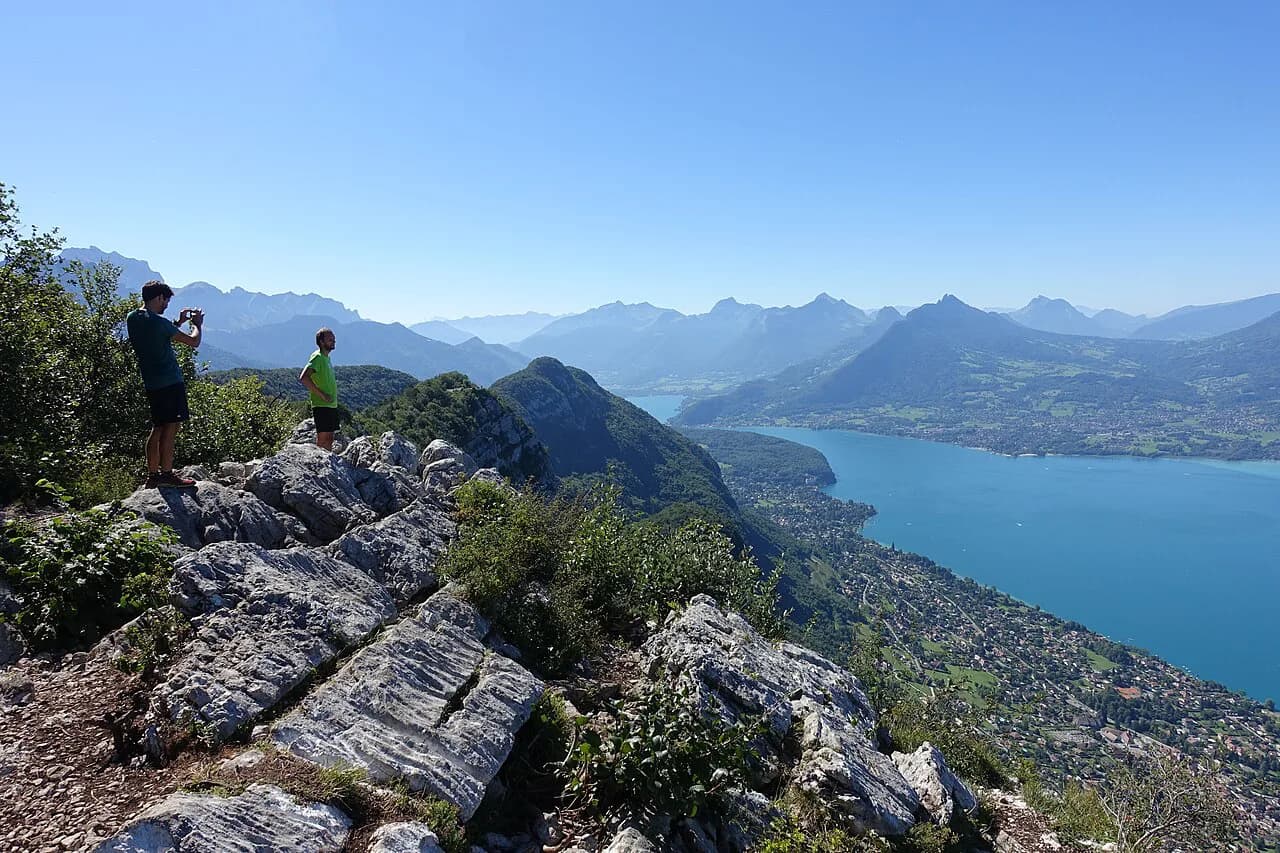
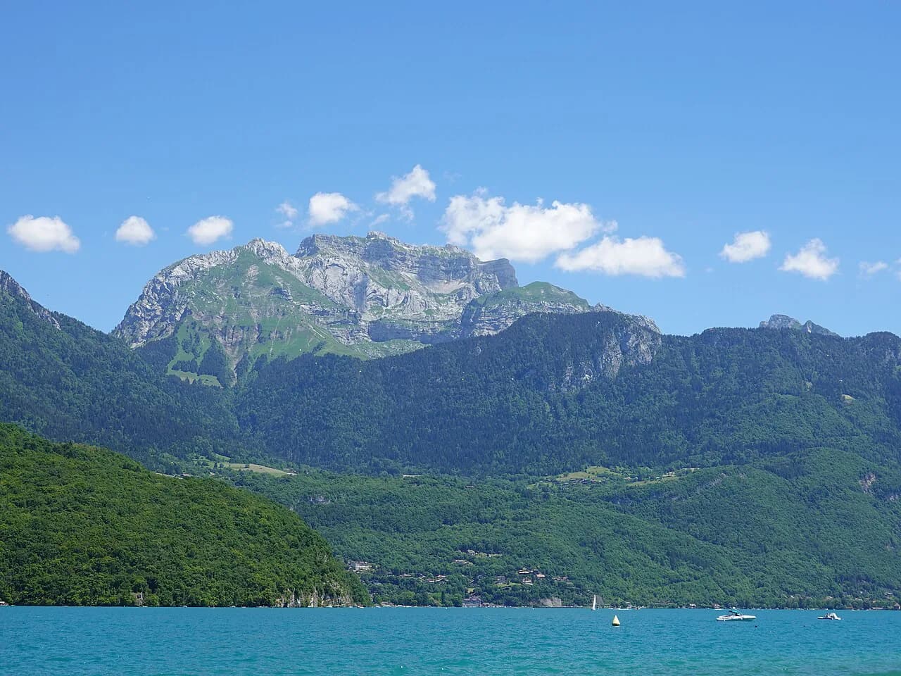
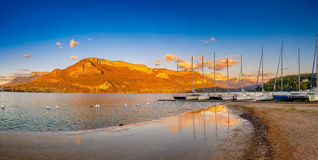
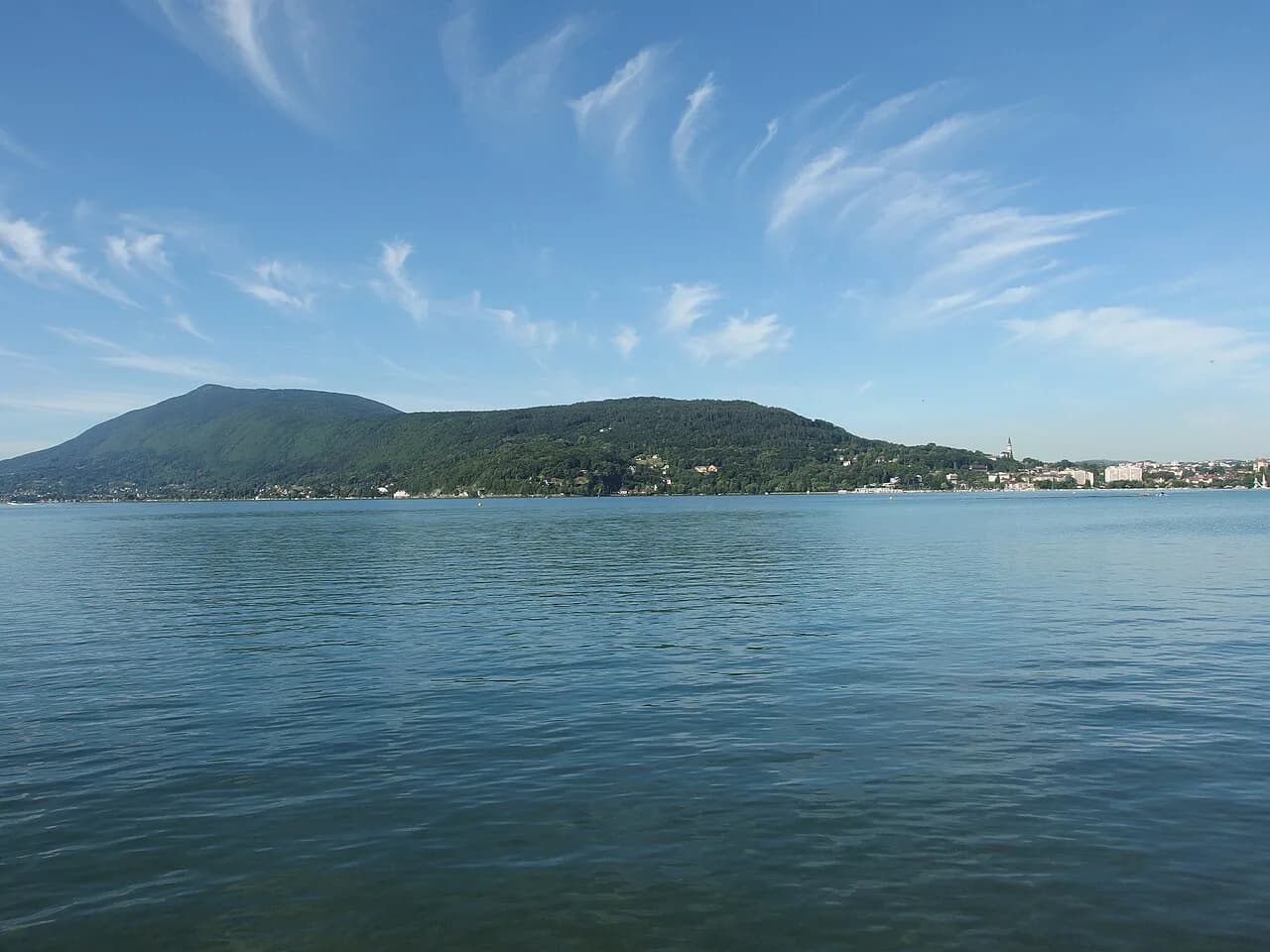
The mountain rises on the western side of Lake Annecy in Haute-Savoie, in the Auvergne-Rhône-Alpes region of the French Alps. The trailhead sits above the village of Montmin, in the commune of Talloires-Montmin, reached by road from the lake shore. From the summit the lake lies below to the east, with the Bauges and Bornes ranges beyond — a very different perspective on the lake from the shoreline paths.
Trailhead and access from Annecy and Talloires-Montmin
The walk begins at the Chalet de l'Aulp de Montmin, a mountain restaurant on the pasture road above Montmin where the out-and-back route starts, so this is the place to park and set off. Reaching it means driving the road up from Talloires-Montmin on the western shore of Lake Annecy, then continuing on the pasture road to the chalet.
No bus timetable, parking fee or road restriction is set out in the route information, so drive up and expect a small mountain car park at the chalet rather than a large trailhead facility. If you are relying on public transport from Annecy, plan the day around a service that actually reaches Talloires-Montmin and check what it serves before committing. The wider guide to hiking in Annecy is useful for matching a base to the hikes you want.
Distance, ascent and walking time
The mapped route is about 6.45 km (4 mi) out and back with roughly 873 m (2,864 ft) of ascent, which is a serious half-day to full-day climb for most hikers. That total is the round trip, so the walk up is only a little over 3 km (2 mi) of distance but most of the climbing.
Fast hikers can complete the round trip in around 3 h 40 m, while a recorded pace on the same trail ran to about 6 h 9 m. Treat the gap as the difference between a quick, fit walker and a steady pace with stops, and plan your own day nearer the longer figure if you stop for views, lunch or photos.
The trail is rated difficult, which reflects the steep climb and the rougher ground near the top rather than any technical climbing. Judge it against a lake-shore walk such as the Mont Veyrier Hike from Annecy: La Tournette asks for more ascent in a shorter distance and far more time on rock and steep grass.
Route description: from Chalet de l'Aulp de Montmin to the Col du Varo
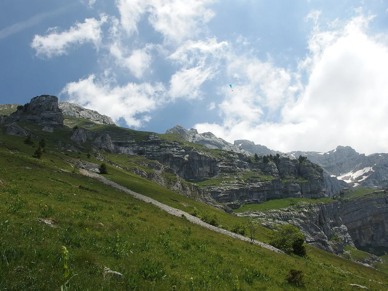
From the chalet the path crosses open pasture, the gentlest part of the day, with the summit ridge visible ahead. The first named landmark is the Col du Varo, a saddle about 2.46 km (1.5 mi) from the start where the ground opens out and the views stretch across the surrounding peaks.
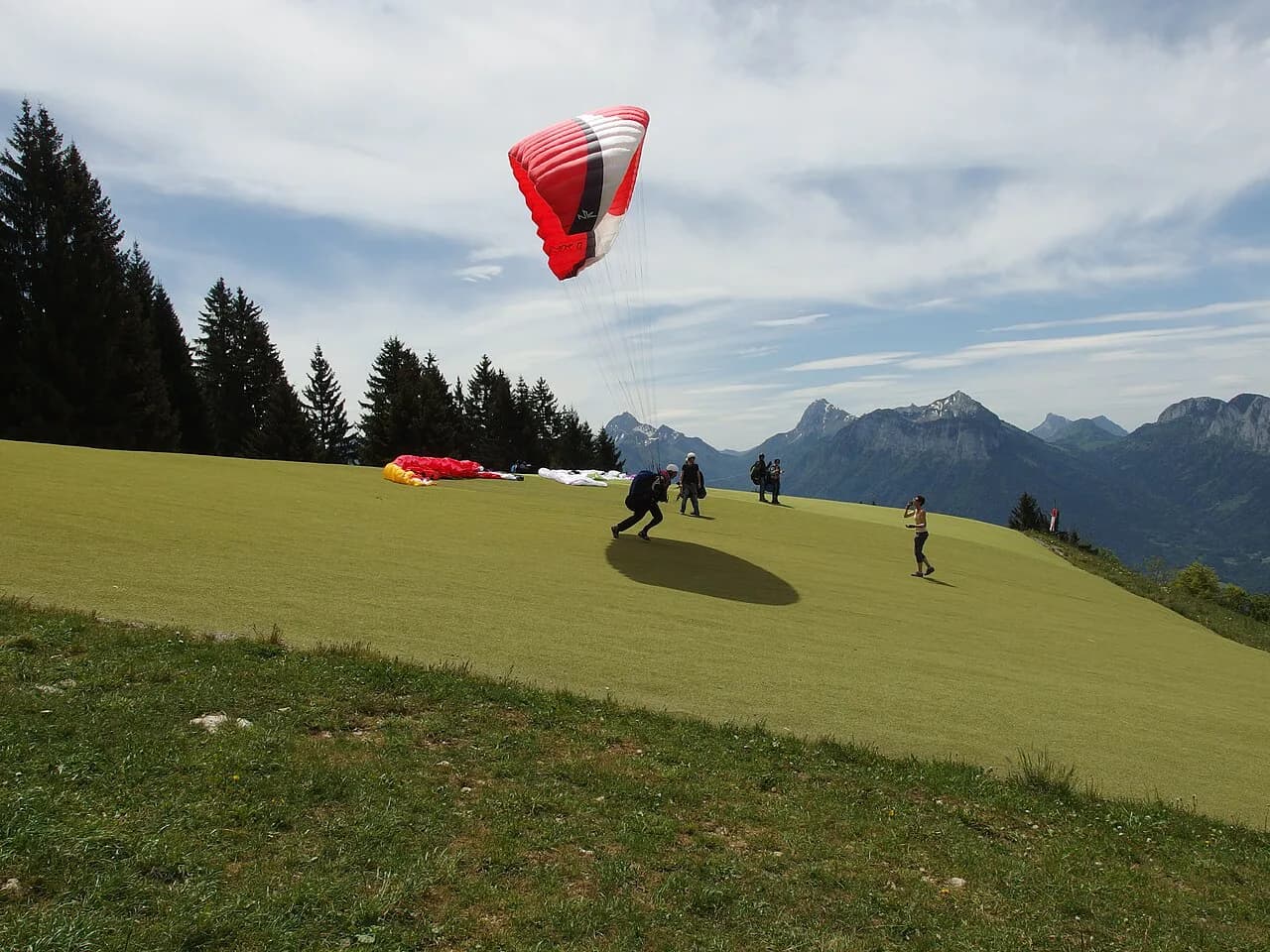
The Col du Varo is also a paragliding take-off (the Décollage du Col du Varo), so expect pilots setting up on the saddle and give them space as you pass through. Use the saddle to take stock: from here the route steepens and the walking becomes rockier, and the summit is still well above you.
The upper section from the Col du Varo to the summit
Above the saddle the path climbs more directly toward the summit, with the last stretch reaching the top at roughly 3.22 km (2 mi) from the start, about the halfway point of the round trip. The upper ground is steeper and rockier than the meadows below, so the pace slows even though the remaining distance is short.
A common mistake is to bank on the descent being quick; on rocky ground above the saddle it is nearly as slow as the climb. Leave margin in your day so you are off the upper section well before late afternoon.
Terrain and exposure near the top
The summit block is steep rock and open ground rather than a broad meadow, so the exposure is real: a slip matters more here than on the pasture path, and the wind can be strong on the ridge. Watch your footing on the rocky steps and turn back if the rock is wet or greasy — the view is already good from the saddle.
Afternoon storms build quickly in the French Alps in summer, and a 2,000 m-plus summit is no place to be when thunder starts, so aim to be off the top by early afternoon. Snow lingers on the upper slopes well into spring and can return early in autumn, which turns the rocky steps into a slippery, slower scramble.
Views from the summit
The top gives a full panorama over the valley and Lake Annecy, with the Alps ranged around and the lake stretching away below — the reason this is one of the great viewpoints above the western shore. Bring a layer for the top: it is exposed to the wind, and the summit is a fine place to linger if you have paced the climb well.
When to go: best months, snow and storms
The climb is at its best from early summer to early autumn, once the snow has cleared from the upper slopes and before autumn storms set in. Late spring often still means snow on the highest ground, and an early-autumn dusting can make the rocky section slow; the shoulder months suit experienced hikers with the right footwear rather than casual walkers.
Summer gives the longest dry days but brings the highest chance of afternoon thunderstorms, so start early and keep an eye on the sky from the saddle. A clear morning on the summit is far better than a rushed afternoon one.
Practical preparation: water, food and gear
Carry plenty of water, snacks and proper hiking gear, because the climb is demanding and there are no guaranteed supplies once you leave the chalet. The Chalet de l'Aulp de Montmin is a restaurant at the trailhead where you can eat before or after the walk, so it is not a reliable mid-route water stop.
Sturdy boots with grip matter for the rocky stretch above the Col du Varo, and a windproof layer earns its place on the summit even on a warm day. Pack a headlamp if you are starting late, and keep the map or GPX on your phone for the descent — the pasture paths braid in places.
Where to stay and what to hike the next day
Talloires-Montmin and the villages along the western shore make the natural base, since they put you closest to the road up to Montmin and the chalet car park. Annecy itself works too, with a shorter drive to the trailhead but more traffic on the way out.
For an easier day afterwards, the short climb to Mont Veyrier gives lake views with far less effort, and the Col de la Forclaz is a gentler half-day if your legs need a break. If you are moving around without a car, plan the La Tournette day around the road access to Montmin.
Beyond the Annecy basin, the neighbouring ranges hold plenty of other objectives, but they are outside this destination and deserve their own planning. If you want a bigger multi-day objective in the same part of the Alps, the Mont Blanc hiking guide covers the tour stages and planning. Keep the La Tournette day focused: one big climb, an early start and an early descent.
Plan Your Visit
La Tournette rewards a fit hiker who treats it as a full day: drive up to the Chalet de l'Aulp de Montmin, follow the pasture road to the Col du Varo, then take the steeper rocky stretch to the summit and come back the same way. Budget nearer six hours than four if you want time on the summit, and start early enough to be down before storms build.
The figures are the mapped ones — about 6.45 km (4 mi) and 873 m (2,864 ft) of ascent — so plan water, food and footwear accordingly. Confirm road and snow conditions with the local tourist office in Talloires-Montmin before you set off.
Frequently Asked Questions
How long does the La Tournette hike take?
Allow about four hours at a fast pace and nearer six for a steady one. The round trip is roughly 6.45 km (4 mi) with about 873 m (2,864 ft) of ascent, so most of the time goes into the climb rather than the distance.
How much ascent is the La Tournette climb?
The mapped route gains about 873 m (2,864 ft) over the round trip, starting at the Chalet de l'Aulp de Montmin. Because it is an out-and-back, you also descend that height on the return.
Where does the La Tournette hike start?
It starts at the Chalet de l'Aulp de Montmin above the village of Montmin in Talloires-Montmin, on the western shore of Lake Annecy. The pasture road up from the village takes you to the chalet and the car park.
Is the La Tournette hike difficult?
It is rated difficult: the climb is sustained and the ground above the Col du Varo is steep and rocky. Hikers comfortable with a long climb and rough footing will manage; first-time walkers should start with an easier lake-side route.
When is the best time to hike La Tournette?
Early summer to early autumn, once snow has cleared the upper slopes and before autumn storms arrive. Start early in summer to be off the summit before afternoon thunderstorms.
Can you drive to the Chalet de l'Aulp de Montmin?
Yes, a road runs up from Talloires-Montmin to the chalet, where the walk begins. Parking at the chalet is limited, so arrive early in high season.
Sources
Trail notes for your next trip
Optional updates when we add or revise hiking guides.
You might also like
Continue reading
More guides you'll find useful