Cala Goloritzé Hike, Sardinia: Trail, Distance & Booking
Plan the Cala Goloritzé hike in Sardinia: the trailhead above the Golgo plateau, the 3.5 km route with 500 m of climb, and how bookings work.
On this page
The Cala Goloritzé hike is the shortest way to one of Sardinia's most photographed beaches, and it is short in distance only. From the Golgo plateau above Baunei you descend roughly 3.5 km (2.2 mi) through forest and open limestone to a white pebble cove framed by the Punta Caroddi needle, then climb every metre back out.
This guide suits hikers who want a half-day objective with real elevation and a fixed timetable rather than a stroll from a car park. The decisive factor is not the walk down but the return climb, which most people complete in roughly two hours. Bookings, trail opening hours, and a suggested arrival time at the entrance all constrain when you start, so plan the day around them rather than around the beach.
Where the Cala Goloritzé trail starts
The trail begins at the Su Porteddu entrance on the Golgo plateau, the high limestone tableland inland from Baunei in the Ogliastra region. You reach it by road from Baunei, climbing through the village and continuing across the plateau; from Santa Maria Navarrese on the coast the drive is longer but follows the same approach. The entrance is where the trail hours and bookings are enforced, so treat it as your fixed start point rather than a vague parking area.
Baunei sits closest to the plateau road and is the natural base if you want the shortest transfer on the morning of the hike. Santa Maria Navarrese, down on the coast, gives you a swimming base and a wider choice of accommodation but adds driving before and after the walk. Either works; the choice comes down to whether you prefer a short pre-dawn drive or a sea view at the end of the day.
Parking and trailhead access
Access is by road, and the plateau road is narrow and winding in places, so allow more time than the distance suggests and drive it in daylight. Parking sits at the trailhead area by the entrance rather than at the beach, and there is no alternative trailhead lower down. Local operators in Baunei and Santa Maria Navarrese run transfer services to the entrance, which removes the drive and the parking question; the Baunei tourism office publishes contact numbers for information on these services.
Distance, ascent and walking time
The route is 3.5 km (2.2 mi) one way with 500 m (1,640 ft) of elevation difference between the plateau and the beach. The tourism office gives about 1.5 hours for the outward walk and about 2 hours for the return, which reflects the fact that the climb out is the harder half. Budget for the return leg when you set your start time, and add time on the beach to that total.
Treat those times as walking estimates for a steady hiker without long stops. The descent is quicker underfoot but demands attention on loose rock, while the ascent is slower because it is sustained and often hot. Hikers who are comfortable with a steep hour or two of climbing will find the distance modest; those who rarely walk uphill will feel every metre on the way back.
Booking, trail hours and the day's timetable
Bookings are active for Cala Goloritzé, and the tourism office asks visitors to reach the trail entrance by 10:00 a.m. so the walk avoids the hottest hours and visitor numbers can be managed. The trail opens at 7:30 a.m. and closes at 14:00, and you may stay on the beach until 17:00. Those windows, not sunrise, decide when you set off.
Book before you travel rather than turning up and hoping, because the entrance is where the arrangement is applied. The tourism office publishes a booking news page and staffed phone lines for the segreteria and the infopoint if you need to arrange or adjust a visit. The booking page does not set out a ticket price or a daily quota in the text it publishes, so ask the office directly when you reserve.
Experienced climbers heading for the Punta Caroddi routes above the beach have a separate constraint: the latest start for the ascent is 3 p.m. That is a climbing matter, not something that applies to beach walkers, and the needle should be read as the landmark above the cove rather than a hiking objective.
Route description
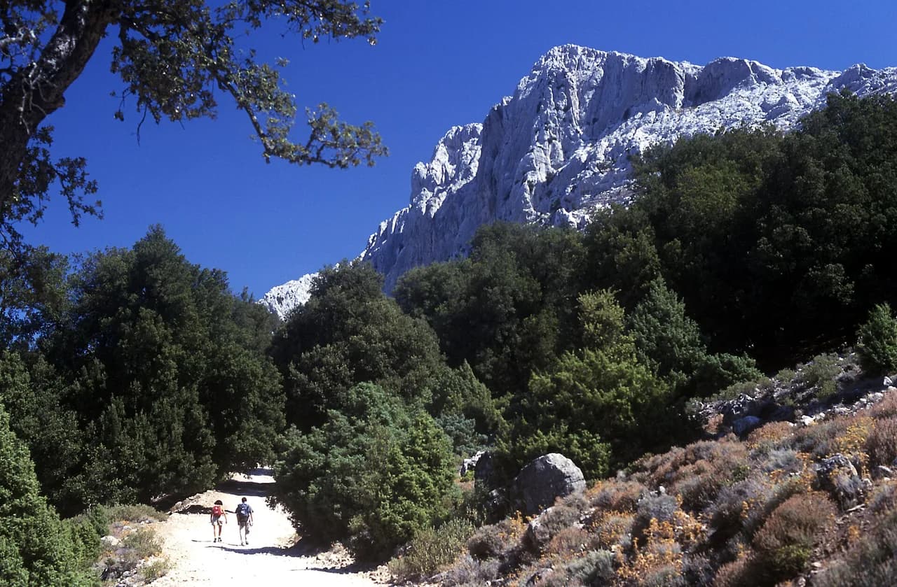
From Su Porteddu the path leaves the plateau and drops through holm oak and Mediterranean scrub, with the ground alternating between forest floor and exposed limestone. The gradient is steady rather than uniform, and the walking is at its easiest in the shaded sections. Take the descent at a controlled pace: the loose stone underfoot is where most slips happen, not on the steepest pitches.
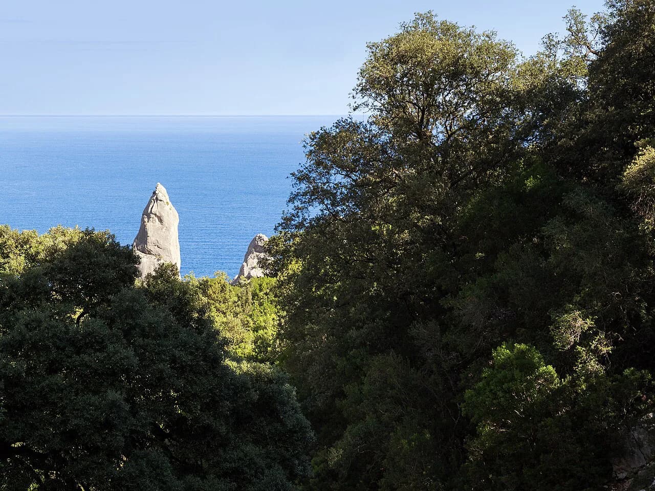
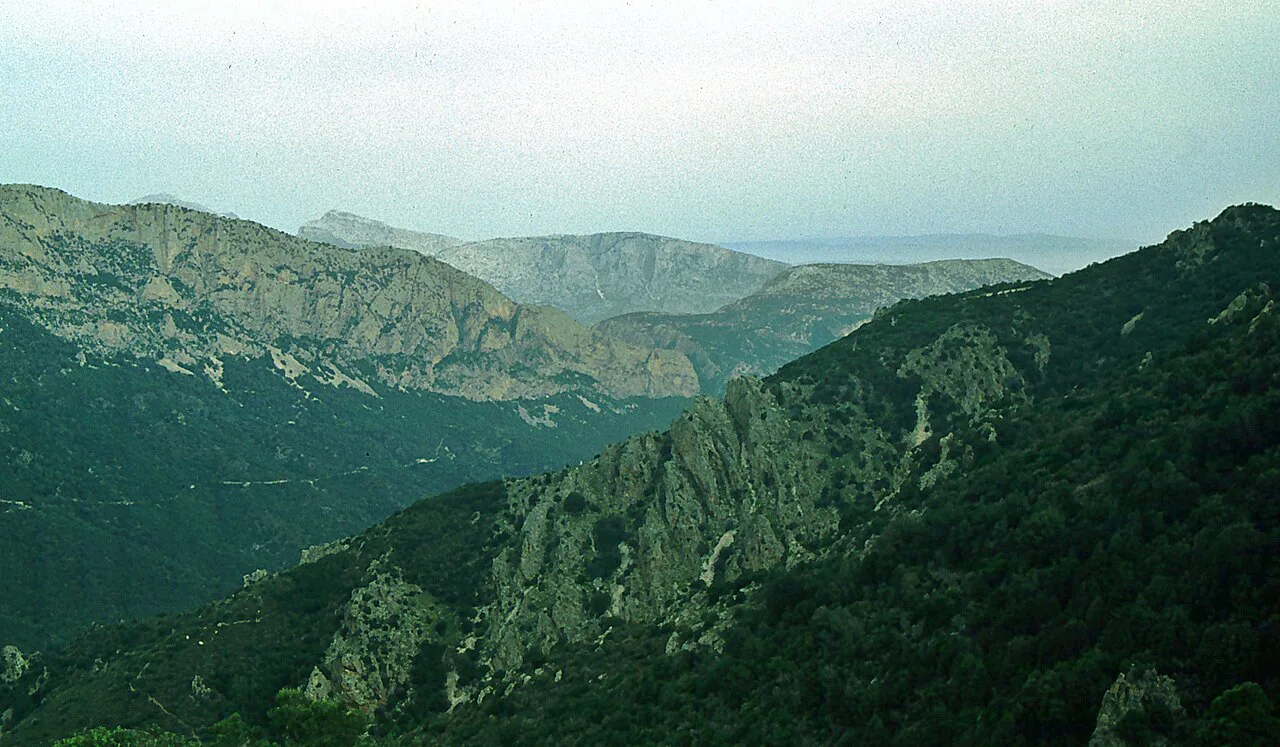
Lower down, the vegetation thins and the route turns rockier and steeper as it approaches the coast, with sections where you use your hands for balance. The final approach crosses rough limestone slabs before the view opens to the white pebble beach and the tall needle of Punta Caroddi rising directly above it. That reveal at the end is the payoff for the whole descent.
The return follows the same line, so there is no loop to plan. Read the route on the way down with the climb in mind, noting where the shade and the flatter stretches fall. The upper forest section is the most pleasant part of the climb, while the open rocky stretch below it is where heat builds.
The beach at the end
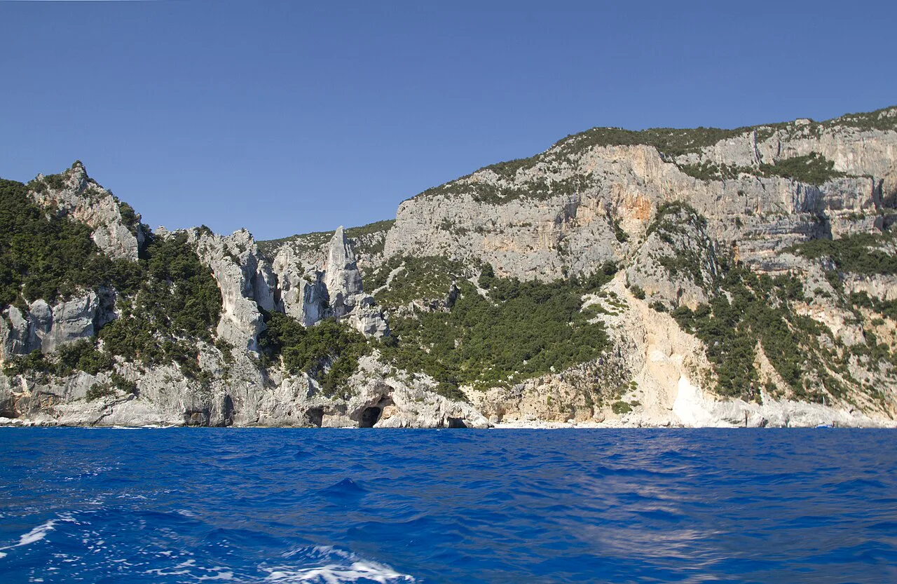
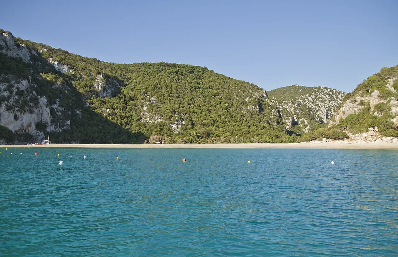
The cove is white pebble and stone rather than sand, and the water is clear and cold. Closed shoes with a good grip, preferably hiking shoes, and a water supply are mandatory on the trail, which is demanding in both directions. That rule matters most on the beach itself, where you swap boots for something else and then face the climb back.
Dogs are not allowed on the beach, so plan around that if you travel with a dog. Staying until 17:00 is permitted, which leaves a generous window after an early start, but keep an eye on the time so you are off the exposed upper stretch before the afternoon heat peaks.
Difficulty, exposure and footing
The hike is short but not easy. The 500 m (1,640 ft) of elevation difference sits in a compact distance, the surface is rocky, and the final stretch is steep enough to need hands in places. Hikers describe the ground as rough and stony, which is why sturdy footwear with a real sole is the sensible choice over trainers with thin tread.
Heat is the other hazard. The climb out is sustained, often unshaded, and comes at the end of the day when you are tired and sun-exposed, which is precisely why the entrance cut-off and trail opening hours exist. Carry more water than you think you need for the return, and start early enough that the climb happens before the worst of the afternoon.
When to go
Late spring and early autumn give the best balance of warm water for swimming and tolerable temperatures for the climb out. Midsummer works only with an early start, since the 10:00 a.m. arrival guidance and the 14:00 trail closure already push you toward the morning. Outside the main season, check with the tourism office before planning a visit, since the booking arrangement and trail hours are published as news rather than as a permanent calendar.
Sea conditions affect what you can do once you are down there, and the beach has no lifeguard setup to rely on. Rain makes the limestone slick, so a wet day is a poor choice for the rocky finish.
Gear and water for the climb back
Wear closed hiking shoes or sturdy trail shoes with grip, as the trail rules require, and bring a second pair of light shoes or sandals for the beach. Carry at least two litres of water per person for a hot day, plus a hat and sun protection, because the upper stretch of the return is exposed. A lightweight towel and a dry bag for electronics keep the swim from compromising the walk out.
Trekking poles help on the descent over loose stone and take pressure off the legs on the climb, though they are awkward on the brief hands-on sections. Pack light: everything you carry down has to come back up.
Where to base yourself
Baunei is the closest base to the plateau road and the Su Porteddu entrance, which makes an early start straightforward. Santa Maria Navarrese, on the coast below, offers a seafront base with more tourist infrastructure and a shorter drive to other coastal walks. Both sit within the Baunei coast area, and the wider hiking in Sardinia covers alternatives if you want to combine this walk with other days out. If you are weighing island trails more broadly, hiking in Mallorca offers a contrasting mountain alternative built around the Serra de Tramuntana.
Nearby hikes on the Baunei coast and Golgo plateau
The Golgo plateau itself has short walks from the road, including the sinkhole known as Su Sterru, which makes a low-effort addition to a rest day. On the coast, the famous multi-day Selvaggio Blu traverses the same Supramonte cliffs and gives a sense of the terrain at its most serious. Closer to sea level, the Cala Luna Hike from Cala Fuili is a more forgiving coastal option if you want a second beach walk without the same climb.
Cala Mariolu and the other Baunei-coast coves are usually reached by boat rather than on foot, which makes them a different kind of day out. If you would rather have someone else handle the logistics, organized walking holidays in the Gulf of Orosei region can string together coastal and plateau walks with transfers included.
Plan Your Visit
The Cala Goloritzé hike rewards an early alarm: book ahead, be at the Su Porteddu entrance by 10:00 a.m., and treat the two-hour climb out as the real objective of the day. Wear grippy closed shoes, carry more water than feels necessary, and leave the beach with enough margin to climb in cooler air.
Base in Baunei for the shortest approach or Santa Maria Navarrese for a coastal evening, and use the tourism office's phone lines to settle booking details before you travel. With the timetable fixed in advance, the day becomes a simple, satisfying half-day outing with one of Sardinia's best swims at the midpoint.
Frequently Asked Questions
How long does the Cala Goloritzé hike take?
The route is 3.5 km (2.2 mi) one way with 500 m (1,640 ft) of elevation difference. The Baunei tourism office gives about 1.5 hours for the walk down and about 2 hours for the climb back, so plan on roughly 3.5 hours of walking plus your time on the beach.
Do you need to book the Cala Goloritzé hike in advance?
Bookings are active for the trail, and the entrance is where the arrangement is applied, so reserve before you travel rather than arriving without one. The tourism office runs staffed phone lines for the segreteria and the infopoint if you need help arranging a visit.
What time does the Cala Goloritzé trail open and close?
The trail opens at 7:30 a.m. and closes at 14:00. The tourism office asks visitors to reach the entrance by 10:00 a.m. so the walk avoids the hottest hours, and the beach can be used until 17:00.
Is the Cala Goloritzé hike suitable for casual walkers?
It is short but genuinely demanding: 500 m (1,640 ft) of elevation change over a rocky surface, with steep sections near the coast and an unshaded climb out. Closed shoes with grip and a water supply are mandatory on the trail, which is a fair signal of what to expect.
Can you reach Cala Luna or Cala Mariolu from Cala Goloritzé on foot?
The other Baunei-coast coves, including Cala Mariolu, are generally reached by boat rather than on foot from Cala Goloritzé. The Cala Luna walk is a separate coastal route with its own trailhead, best treated as another day out rather than an extension of this hike.
Sources
Trail notes for your next trip
Optional updates when we add or revise hiking guides.
You might also like
Continue reading
More guides you'll find useful