Selvaggio Blu, Sardinia: Which Route to Hike and Why
The Selvaggio Blu is Sardinia's cliff-and-cove trek through the Supramonte of Baunei, with abseils and exposed paths. Here is how the stages fit together.
On this page
The Selvaggio Blu is a multi-day route along the east coast of Sardinia, cutting through the Supramonte of Baunei above the Gulf of Orosei. It is not a path in the ordinary sense: limestone cliffs drop into turquoise water, shepherds' tracks run across exposed ledges, and several passages call for a harness and rope. For hikers with backpacking experience and a head for exposure, it is one of the most striking coastal routes in the Mediterranean.
This guide follows the six-day itinerary used by guided groups, which gives the clearest published day-by-day figures for the trek from Santa Maria Navarrese to Cala Sisine. Use the daily numbers to judge whether the route matches your fitness, and use the access notes to plan where you sleep before and after the walk. If you want an easier introduction to the island first, the wider hiking in Sardinia covers coastal paths and mountain days that need no ropework.
What the Selvaggio Blu is
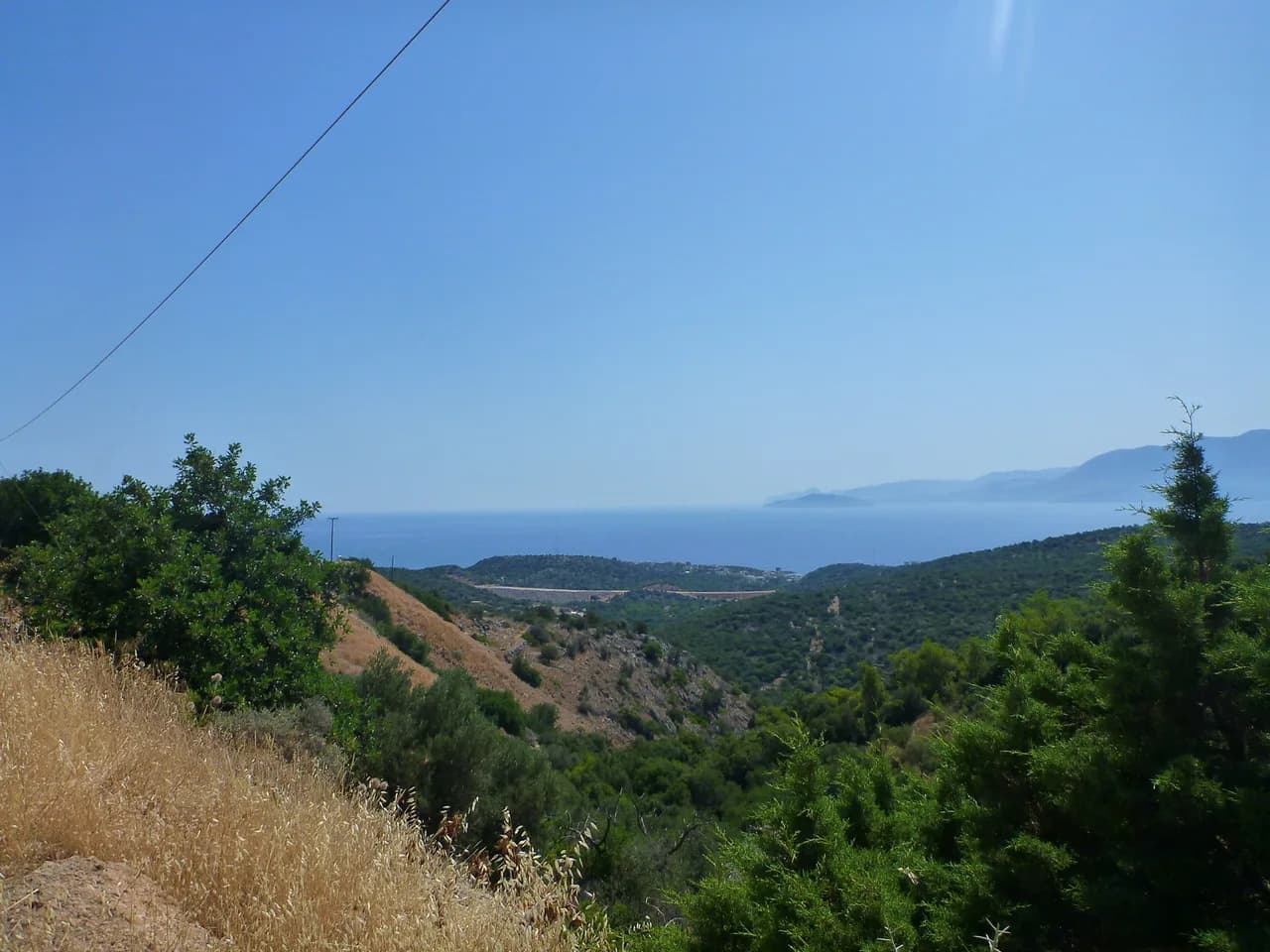
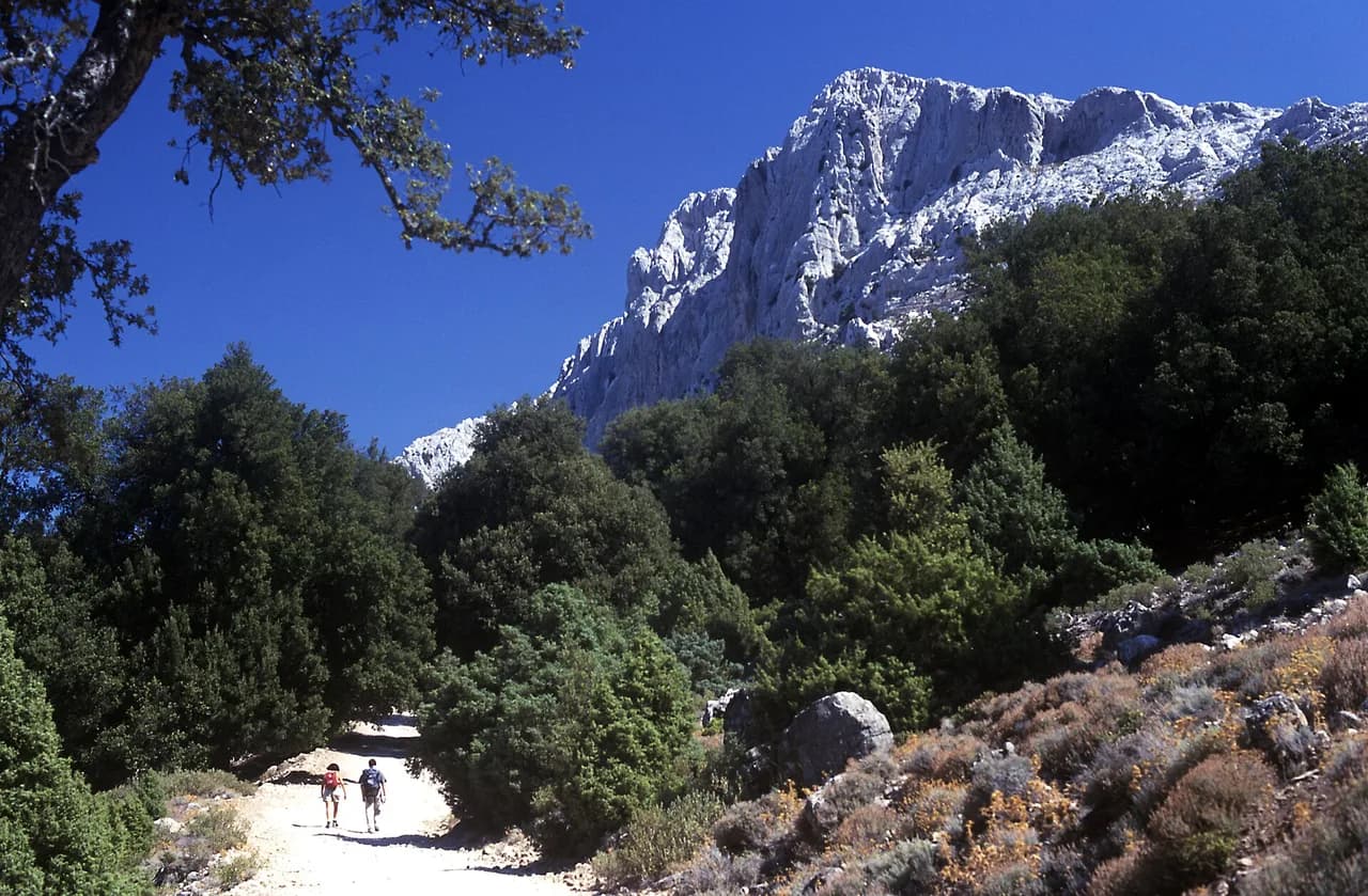
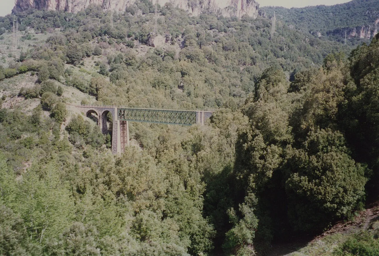
The route traverses the Supramonte of Baunei, the limestone plateau north of Baunei on Sardinia's east coast, staying close to the cliffs above the Gulf of Orosei. Its character changes constantly: old mule tracks through holm oak, dry canyon beds, panoramic ridges, and descents to coves that can be reached only on foot or by boat. A guided description of the route puts it at six hiking days between Santa Maria Navarrese and Cala Sisine.
The route is usually described as roughly 40 km (about 25 miles) end to end, but treat that as an outline rather than a fixed trail specification. The published stage figures vary with variant choices and the exact line a group takes, and the technical sections matter far more than the total distance. Plan on long days of six to eight hours, not on a steady trail pace.
Who it suits
The Selvaggio Blu suits hikers who have already done multi-day backpacking, are comfortable carrying a full pack over scree and uneven single-track, and can stay calm on exposed ground with a rope in hand. Guided groups rate the trek moderate to challenging, with daily walking of roughly four to eight hours. If you have never abseiled or worn a climbing harness, you will be learning on the route itself, which is why many hikers go with a mountain guide.
It does not suit hikers looking for a signposted coastal path, families with young children, or anyone whose knees struggle on steep descents: the big drops come late in the trek, when your legs are already tired. If you want a Sardinian coastal walk without ropework, plan a separate day on a marked path and keep the Selvaggio Blu as a later objective.
Route layout and landforms
The trek runs south to north along the coast, starting from Santa Maria Navarrese and ending at Cala Sisine. Between them lie Punta Giradili, the cliff walls above Portu Pedrosu, the junction above Cala Goloritzè, the ridge at Punta Salinas, and the canyon country around Ololbissi. The landforms dictate the difficulty: where the cliffs meet the sea directly, the route climbs onto the plateau and returns to the coast later. The full length of the coastline between Santa Maria Navarrese and Cala Sisine is the stage you are committing to.
Coves such as Cala Goloritzè and Mudaloru are the visual set pieces, and both are reached on foot from the plateau above. Boats serve some of the beaches, which is how food and camp gear can be moved between stages on guided trips; walkers carrying everything themselves need to plan resupply carefully. The Cala Goloritzé Hike is a good way to sample the coast if a full traverse is more than you want.
Day 1: Santa Maria Navarrese to Punta Giradili
The walking starts directly from the hotel in Santa Maria Navarrese, following a coastal path with a swim stop at midday before the climb to Punta Giradili. The guided itinerary gives about seven hours of hiking over 13 km (8.1 miles), with 1,130 m (3,707 ft) of ascent and 450 m (1,476 ft) of descent. Camp sits at around 700 m (2,297 ft), where a shepherd serves dinner.
This is the gentlest day on the route by technical standards, but the ascent is significant and comes after a morning on the coast. Start early enough to climb in the cooler part of the day, and keep water for the ridge, where the ground is dry and shade is scarce.
Day 2: Punta Giradili to Punta Salinas
An old mule track drops through forest and cliff bands toward the Gulf of Orosei, passing the hidden cove of Portu Pedrosu before continuing along the coast through dense woods and deep canyons. A ruined shepherd's hut marks part of the traverse. The day runs about eight hours over 11 km (6.8 miles), with 508 m (1,667 ft) of ascent and 764 m (2,507 ft) of descent, ending at a camp on the panoramic ridge of Punta Salinas.
The descent outweighs the climb here, so protect your knees and expect slow progress on loose ground. If you are self-supported, note that the ridge camp has no facilities, which means carrying all water for the evening and the following morning.
Day 3: Punta Salinas to Cala Goloritzè and Su Porteddu
The morning brings one of the best viewpoints of the trek, looking down on Cala Goloritzè, before the route descends to the cove for lunch and a swim. In the afternoon comes the first via ferrata section. The guided itinerary allows about eight hours of hiking for just 7 km (4.3 miles), with 500 m (1,640 ft) of ascent and 580 m (1,900 ft) of descent, and the night is spent at Su Porteddu, where there are hot showers.
Short distance does not mean an easy day: the technical ground and the fixed gear slow the pace considerably. Wear the harness from the morning rather than packing it, and check that your via ferrata kit is complete and fitted before you leave camp.
Day 4: Su Porteddu to Ololbissi
From Su Porteddu the route follows exposed shepherds' paths etched into the cliff walls, with wide sea views at every turn. A midday swim at the clear cove of Mudaloru precedes the rope sections and abseils. Plan for about eight hours over 10 km (6.2 miles), with 633 m (2,077 ft) of ascent and 770 m (2,526 ft) of descent, camping at Ololbissi.
This is the day that punishes overconfidence: the exposure is sustained, the ropework comes when your arms are already tired from the morning, and the camp at the end is basic. Keep your pack weight down, move one at a time on the abseils, and let the strongest hiker in the group rig and check the ropes.
Day 5: Ololbissi to Cala Sisine
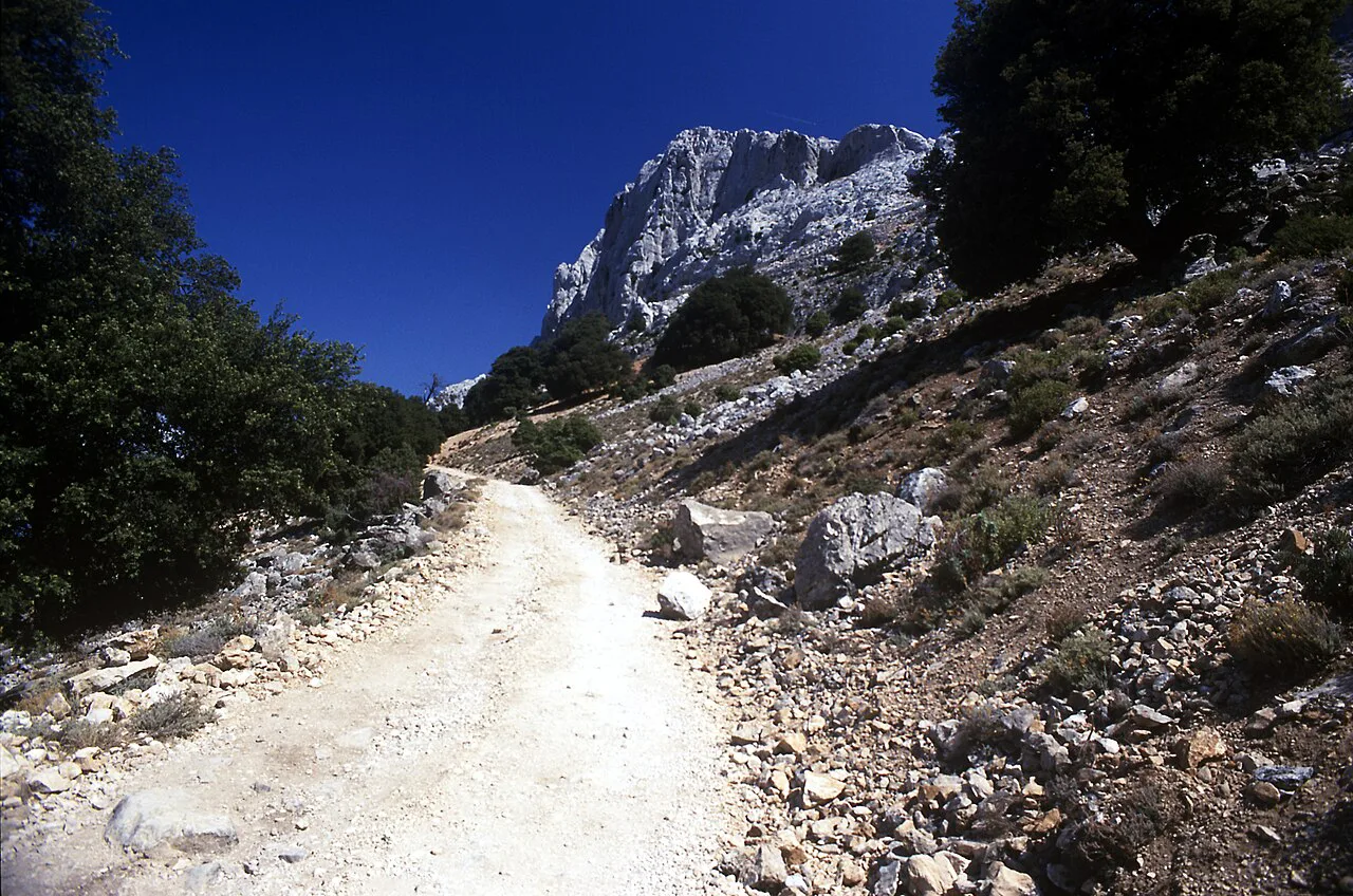
The final day holds the longest abseils, including a drop of 45 m (148 ft), before the route softens into shaded oak forest and a picnic above the cliffs. The guided itinerary gives about eight hours for 10 km (6.2 miles), with 840 m (2,756 ft) of ascent and 1,100 m (3,609 ft) of descent, ending at Cala Sisine, where camp sits roughly 500 m from the beach.
With the biggest descent of the whole trek, this day is hard on the legs. If you are finishing independently, arrange your pickup from Cala Sisine in advance and check how the boat or road transfer works before you set off, since the beach is not a place to improvise a lift home.
Start, finish and trailhead access
Santa Maria Navarrese is the base for the start: the guided itinerary begins with a private transfer from Cagliari International Airport (CAG), a drive of about 2.5 hours over 160 km (99 miles). From there the first morning of walking begins at the hotel door, so there is no separate trailhead drive on day one. If you are driving yourself, arrive a day early to sort gear and food in the village.
On the finish side, the trek ends at Cala Sisine. Guided groups use private boat and ground transfers as part of the package, but walkers going independently should settle the return before starting, as the cove has no ordinary road access to the plateau villages. The wider Sardinia walking holidays section covers how organised trips handle these transfers.
Distance, ascent and time at a glance
The published stages total roughly 51 km (32 miles) of walking across six days if you follow the guided itinerary as written, with the ascent spread over five walking days and the biggest descent on the last one. The hardest days by time are days two, three, four and five, each around eight hours; day one is shorter at about seven. Those numbers reflect a steady group pace with stops.
A faster party might shorten the days, but allow more rather than less on the technical stages. Heat, rope queues at abseils and the state of the ground after rain all add time that no itinerary can predict.
Going guided versus self-supported
Guided groups on the Selvaggio Blu typically include a local English-speaking UIAGM/IFMGA mountain guide, airport transfers from Cagliari, one hotel night, five tented-camp nights, all breakfasts, lunches and dinners, via ferrata kit rental, and private ground and boat transfers. The package excludes airfare, the departure transfer, drinks, insurance, tips and other personal costs. Prices vary by group size and date, so ask the guiding company running your departure directly for a current quote rather than planning around a published figure.
Going self-supported means carrying your own rope kit, food and shelter or arranging your own camp nights, and being able to retreat from the cliff sections if conditions turn. The guide's role is not just leading the technical moves; it is knowing where the route finds its way through the cliffs and where it does not. If you have never done a technical coastal trek, a first traverse with a guide is the more sensible way to learn the route.
Gear and rope sections
A climbing harness and a locking karabiner are the basic items for the Selvaggio Blu, and a full via ferrata kit is needed for the protected sections. Sturdy boots with ankle support suit the scree and uneven ground; water sandals help at the rocky coves; sun protection and light-colored clothing make the exposed stages more comfortable. Bring a compact overnight pack for the camp nights and a duffel-style luggage bag rather than a hard suitcase for transfers.
Trekking poles are commonly recommended for descents, but they are prohibited on parts of the Selvaggio Blu to protect the area. Pack compressible poles you can stow away, and expect to carry them on the stretches where they are not allowed. If a route description does not cover a section you plan to walk, check current rules with the local tourism office before setting out.
Nights on the route
The standard format is one night in a hotel in Santa Maria Navarrese before departure and five nights in tented camps along the route, with camps at Punta Giradili, Punta Salinas, Su Porteddu, Ololbissi and Cala Sisine. Su Porteddu is the comfort stop, with hot showers and a warm meal. A shepherd dinner at the first camp and a fish dinner at the last are part of the guided itinerary's food plan.
Self-supported walkers need to organise their own camping or alternative shelter for these nights, which is where the transfer arrangements become essential. Book any hotel night at the finish separately; the guided package ends with breakfast at Cala Sisine.
When to go
Spring and early summer, from April to mid-June, and again from mid-September to November, bring mild temperatures on Sardinia's coast, with daytime values around 15–20 °C (60–70 °F) and cooler nights near 10 °C (50 °F). Inland, on the plateau sections, it can be cooler still. High summer heat makes the exposed cliff stages harder, and the coves fill with day visitors.
Avoid committing to the route in unsettled weather: the abseils and cliff paths are no place to be in a storm, and wet limestone is slippery. On the coast, afternoon thunderstorms are worth planning around by starting early. Check the forecast for the Baunei coast before each day, not just before the trip.
Water, food and resupply
The guided itinerary provides packed lunches of panini with salami or ham, cheese, fruit, vegetables and water, and dinners with local pasta, roast meat and vegetables. Self-supported walkers have to carry all food and water for the unsupported stretches, since the camps are the only regular stopping points on the route. The tented camps at Su Porteddu and elsewhere are not shops, and the coves are not supply points.
Plan water carefully for the dry plateau days. Carrying more than you think you need on the exposed sections costs effort, but running out on the cliff paths between cove and ridge is the worse trade.
Hazards and how to respond
The main hazards are exposure on the cliff paths, the abseils and rope sections, heat on the open plateau, and occasional rough seas at the coves. Move one at a time on the ropes, keep three points of contact on the via ferrata, and carry a helmet if you are leading or rigging. If a section feels beyond the group, turning back to the previous camp is a valid decision.
Weather on the coast can change quickly, and guides build flexibility into the itinerary for that reason. A guide's experience of the route is most valuable when conditions are marginal, so take professional advice seriously if you are on the fence about a stage.
Cala Goloritzè and the coves as side objectives
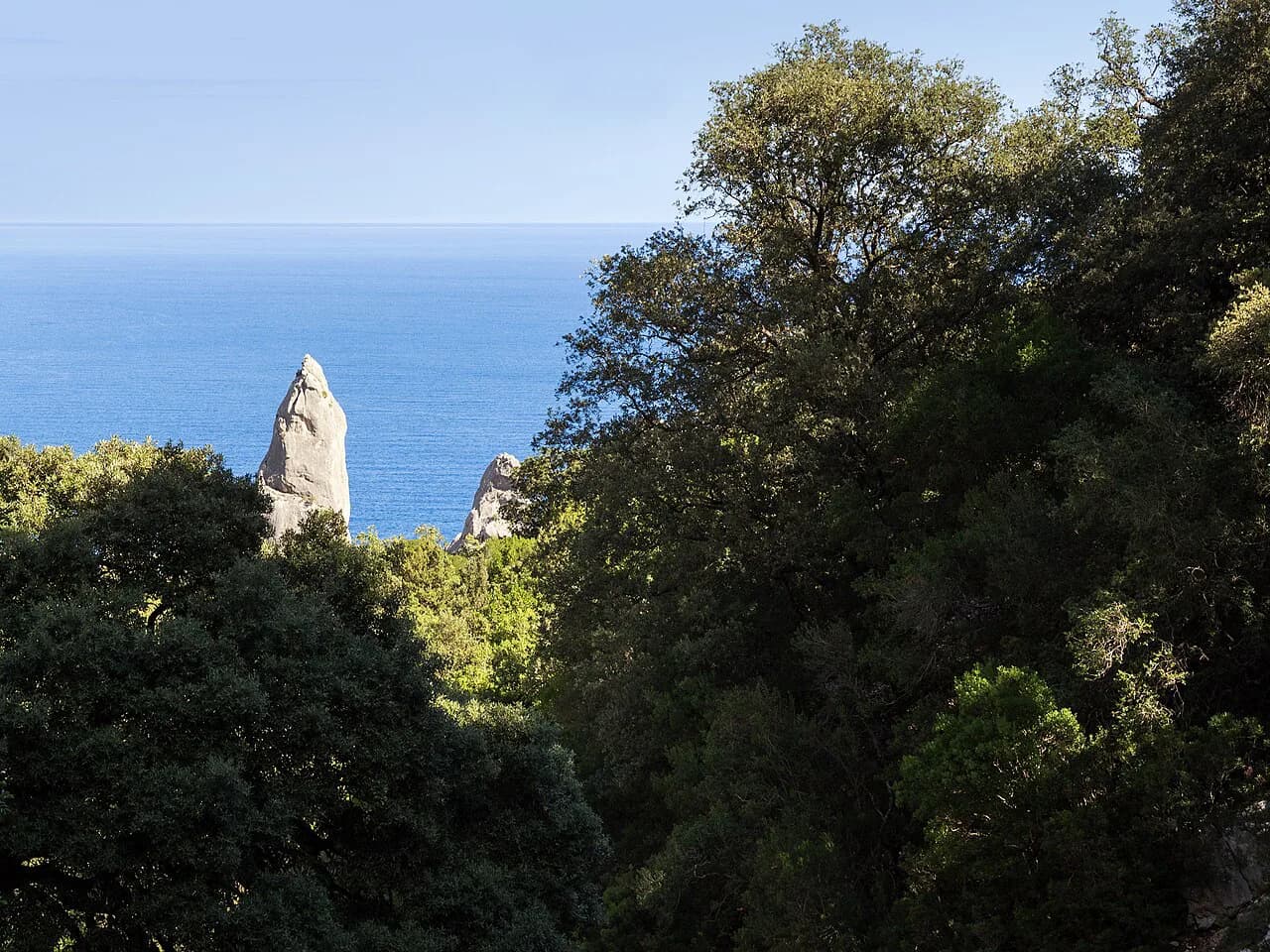
Cala Goloritzè is one of the highlights of the route and its most photographed beach; walkers reach the viewpoint above it on the third day before descending to the cove. Swimming in the hidden beaches along the way is part of the trek's appeal, and the guided itinerary builds these stops into the day's schedule. The cove is a climbers' sanctuary as well as a beach, and access on foot is the normal approach.
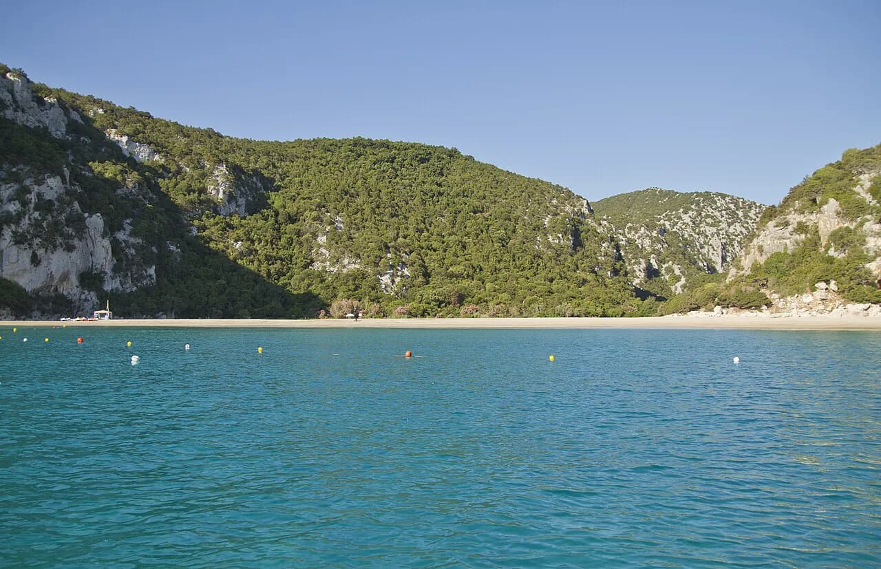
The Cala Luna Hike from Cala Fuili is a shorter way to see another part of the Gulf of Orosei if you want to add a day before or after the trek. It gives a taste of the coastal walking without the rope sections.
Plan Your Visit
The Selvaggio Blu is a serious undertaking: six days of walking between Santa Maria Navarrese and Cala Sisine, with technical ropework, exposed paths, camp nights and daily figures that put it among the harder coastal treks in the Mediterranean. Go if you have the backpacking base and the appetite for the technical ground; give it more time than a normal trail because the ground slows you down. If you want to compare this level of coastal challenge elsewhere in the Mediterranean, hiking in Mallorca in the Serra de Tramuntana offers a similarly demanding alternative.
If you are starting to plan, decide first whether you go guided or self-supported, because that decision shapes your gear, food and transfer arrangements. Then build your schedule around the stage figures and the season. For a wider look at walking on the island, read the Sardinia walking holidays advice on self-guided formats and the hiking in Sardinia guide for other options.
Frequently Asked Questions
How long is the Selvaggio Blu and how many days does it take?
The guided itinerary most walkers follow runs six hiking days from Santa Maria Navarrese to Cala Sisine, with a hotel night before and after. The route is often described as roughly 40 km (about 25 miles), but the published day figures total more, so the distance depends on the exact line and variant you take. Treat the stages as the useful unit, not the total.
Where does the Selvaggio Blu start and finish?
It starts in Santa Maria Navarrese, a small resort on Sardinia's east coast south of Baunei, and finishes at Cala Sisine, a cove that is reached on foot or by boat. Transfers from Cagliari airport are part of most guided packages.
Do you need a guide for the Selvaggio Blu?
A guide is not legally required, but the route combines exposed paths, abseils and via ferrata sections with no ordinary trail markings. Hikers without ropework experience should go with a mountain guide; experienced self-supported parties should have a clear retreat plan and carrying rope skills.
Is the Selvaggio Blu suitable for hikers without climbing experience?
It is a demanding choice for a first technical trek. The protected sections require a harness and via ferrata kit, and the abseils come after long walking days. Hikers without climbing experience can still do the route with a guided group, where the guide rigs and manages the technical sections.
When is the best time of year to hike the Selvaggio Blu?
Spring and early summer, from April to mid-June, and mid-September to November, bring mild coastal temperatures and cooler nights. High summer heat makes the exposed plateau sections harder, and unsettled weather in the shoulder seasons should be watched closely before committing to the abseil days.
What gear do you need for the Selvaggio Blu?
A climbing harness, a locking karabiner, a via ferrata kit, sturdy boots with ankle support, sun protection, water sandals for the coves, and a compact overnight pack are the core items. Trekking poles are prohibited on parts of the route, so pack compressible poles if you bring any.
How much ascent is there on the Selvaggio Blu each day?
Published stage figures give between roughly 500 m and 1,130 m of ascent per walking day, with the biggest descent on the final day to Cala Sisine. The precise figures vary by variant and route line, so treat them as planning guidance.
Sources
Trail notes for your next trip
Optional updates when we add or revise hiking guides.
You might also like
Continue reading
More guides you'll find useful