Dolomites Day Hikes: Best Trails, Trailheads and Timing
Plan Dolomites day hikes with real distances, ascent and trailhead access, from Tre Cime and Lagazuoi to Seceda, plus when trails and lifts open.
On this page
The Dolomites pack a remarkable variety of day hiking into a compact range: a three-hour circuit beneath three vertical rock towers, a cable-car-assisted ridge walk above Val Gardena, or a full-day ascent from a lakeshore to a high pass. The right choice depends less on fitness than on how much climbing you want and how you plan to reach the trailhead. Many of the classic routes start at road passes or lift stations rather than in valleys, so sorting transport first usually decides your day.
How Dolomites day hiking works
Day hikes here fall into two broad families. Lift-assisted walks start high, cover a few kilometres on good paths and deliver big views for modest effort; full-day loops and ascents start lower, gain 600 to 1,200 metres (1,970 to 3,940 ft) and demand a proper early start. Matching the trail to your available hours and to your comfort on steep, loose ground matters more than raw distance. For a broader overview of the range's routes and bases, the hiking in dolomites guide is a useful starting point.
The range's infrastructure shapes the day: cable cars, chairlifts and toll roads put trailheads at altitude, while buses link the main valleys. Most lifts pause between the winter and summer seasons and run reduced hours outside peak months, so the same trail can be a short walk in August and a long climb in June. Mountain refuges follow similar seasons, and many stay shut until mid-June.
Tre Cime di Lavaredo loop
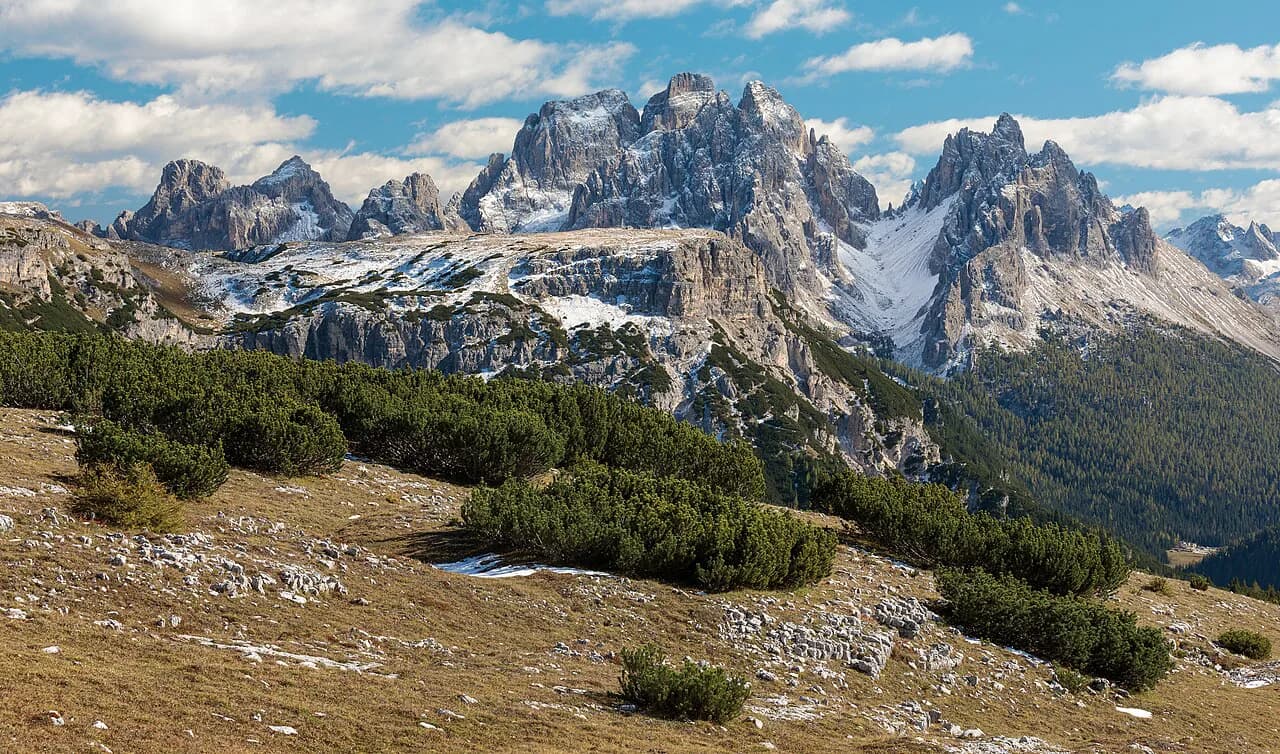
The circuit around the Tre Cime di Lavaredo is the Dolomites' signature day walk. It starts and finishes at Rifugio Auronzo, where a toll road delivers you to around 2,320 metres (7,610 ft); the loop runs about 10 kilometres (6.2 miles) with roughly 400 metres (1,310 ft) of ascent and takes most hikers three to four hours at an easy pace. The route passes Rifugio Lavaredo, the Forcella Lavaredo col and Rifugio Locatelli, giving changing views of the north faces throughout.
The terrain is mostly wide gravel and rock path with a few short steeper sections, so it suits fit beginners and families with older children. The main trade-off is popularity: the car park at Auronzo fills early in summer, and the path between Lavaredo and Locatelli carries a steady stream of walkers by mid-morning. Starting at first light buys you quiet and better photographs. The trail is normally clear of snow from July onward.
Tre Cime trailhead access and timing
Access is via the toll road from Misurina to Rifugio Auronzo, which operates seasonally and charges a per-vehicle fee; the amount and opening dates are posted at the toll booth, so budget for it and check the current rate before driving up. In peak summer the upper car park reaches capacity by mid-morning, and the road can be closed to private cars once full, with shuttle buses running from Misurina instead. Arriving before 8 am is the simplest way to avoid the squeeze.
July and August bring the most reliable conditions but also the crowds and routine afternoon thunderstorms. June can still hold snow on the higher sections, and by late September the first snowfall may dust the passes. Early July and September are the sweet spots for comfortable temperatures, open refuges and thinner traffic.
Lagazuoi and the Cinque Torri area
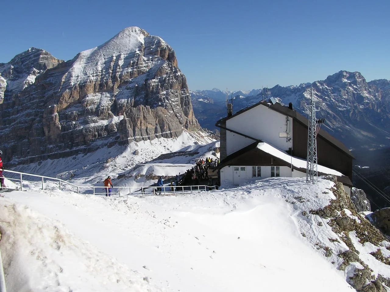
From Passo Falzarego, a cable car climbs to Rifugio Lagazuoi at 2,752 metres (9,029 ft), the highest point most day hikers reach in the range's central section. The classic outing descends through the restored WWI tunnel system of the Galleria Lagazuoi, a nearly kilometre-long gallery that drops from the summit area toward the Martini Ledge. A headlamp is essential inside the tunnel, and the route involves steep, rocky ground and fixed cables in places, so a head for heights helps. The descent takes roughly two hours and 650 metres (2,130 ft) of loss to reach the pass.
Across the road, the Cinque Torri towers rise to around 2,361 metres (7,746 ft) on a grassy terrace above Cortina, ringed by trails and preserved WWI trenches. A short lift from the Falzarego road, or a walk up, puts you among the towers for an easy hour or two. Combining the Lagazuoi tunnel descent with an afternoon loop around Cinque Torri makes a full but manageable day, provided you start early enough to be off the exposed ground before storms build.
Seceda and the Alpe di Siusi plateau
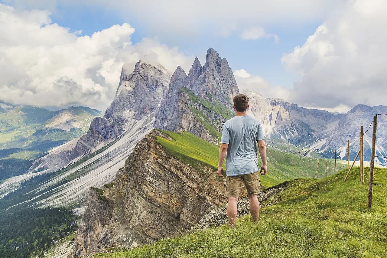
The cable car from Ortisei to Seceda climbs in about 15 minutes and saves more than 1,000 metres (3,280 ft) of ascent, landing you beneath the ridge's jagged skyline. From the top station, a path traces the ridge toward the Odle/Geisler massif and Puez-Odle Nature Park, with options ranging from an hour's stroll to a half-day traverse. The lift runs in summer and winter but shuts between seasons, so check operating dates before building a day around it.
Below Seceda, the Alpe di Siusi is Europe's largest high alpine plateau, reached by cable car from Siusi or by a seasonal road, and laced with gentle meadow paths suited to easy half-days. The trade-off is that the plateau's most accessible trails are also its busiest; walk 20 minutes from any lift station and the crowds thin. Hikers wanting a quieter valley route can use the adolf munkel trail beneath the Odle's north walls as an alternative.
Lago di Braies and the Fanes plateau
Lago di Braies is the northern gateway to the Dolomites' high routes and the start of the Alta Via 1, but it also works as a day-hike base. The shoreline circuit is a flat hour's walk, while the stiff climb from the lake to Rifugio Biella at 2,300 metres (7,545 ft) gains around 900 metres (2,950 ft) and takes three to four hours up. The reward is a high balcony beneath the Croda del Becco, with an optional summit extension for strong walkers.
The lake's car park fills very early in summer, and access is increasingly managed; arriving by bus from Dobbiaco avoids the worst of it. If you want the Fanes plateau's meadows and refuges without committing to a multi-day trek, the route from Pederü up to Rifugio Fanes at 2,060 metres (6,758 ft) makes a fine out-and-back day. Hikers weighing the full north-to-south traverse can compare distances and daily stages before deciding.
Hikes by fitness level
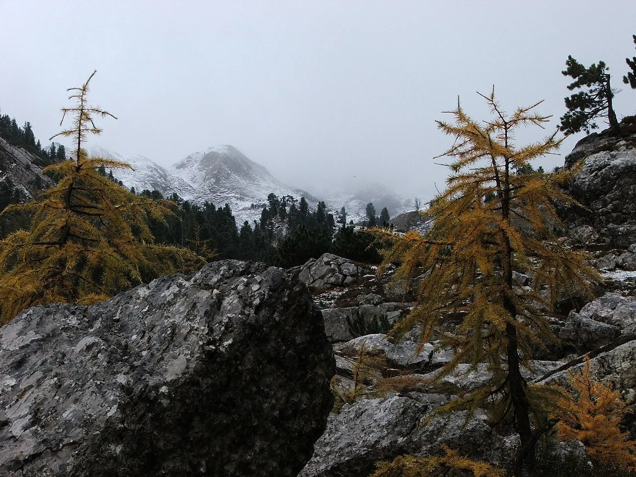
Easy half-days: the Tre Cime loop, the Cinque Torri circuit and the Alpe di Siusi meadow paths all stay under four hours with modest ascent, thanks to lift or road access. They suit hikers who want big scenery without long climbs, and they work well for families with children old enough to walk steadily for a few hours.
Moderate full days: the Lagazuoi tunnel descent plus Cinque Torri, or the climb from Lago di Braies to Rifugio Biella, add 600 to 900 metres (1,970 to 2,950 ft) of ascent or descent and five to six hours on foot. Long full days: linking Seceda's ridge to the Alpe di Siusi, or ascending to the Fanes plateau from Pederü, means 800 to 1,000 metres (2,620 to 3,280 ft) of climbing and a full day out. Choose the longest option only if you are comfortable on loose rock and can start early.
Getting to trailheads without a car
Buses connect Cortina d'Ampezzo with Passo Falzarego and the Tre Cime area, and Dobbiaco with Lago di Braies, but schedules thin outside July and August. Local bus networks publish seasonal timetables, and the main valleys also run shuttle services to popular trailheads in peak summer. Most cable cars and chairlifts pause between the winter and summer seasons and do not run during the shoulder months, so check opening dates before building a day around one.
If you are based in Ortisei, the Seceda and Alpe di Siusi lifts are walkable from town, which makes Val Gardena the easiest base for a car-free day-hiking trip. Cortina suits the eastern trails, and Alta Badia puts you within reach of the Fanes plateau and the Alta Via 1's northern stages. Pick your base by which trailheads you can reach on foot or by a single bus ride.
When to go
The snow-free window for high trails generally runs from late June to early October, with July and August the most reliable months for lifts, refuges and clear paths. July is the warmest month: travel reports put valley highs around 20 to 28°C (68 to 82°F) and overnight temperatures at refuge altitude around 4 to 8°C (39 to 46°F). Afternoon thunderstorms are routine from mid-July, building between 2 and 5 pm on many days, so plan to be off high ground by early afternoon. September brings fewer walkers, crisp visibility and cold nights, with the first snow possible on high passes from mid-month.
Afternoon storms and exposure
The Dolomites' summer weather follows a predictable rhythm: clear mornings, cloud building late morning and thunderstorms in the afternoon. The practical response is to start early, cross the highest point before about 1 pm and be descending or at a refuge by mid-afternoon. On exposed ridges and via ferrata routes, lightning is the real hazard, and turning back early is the right call rather than pushing for a summit.
Temperatures can drop 10 to 15°C (18 to 27°F) in half an hour when a storm arrives, so carry a waterproof shell and an insulating layer even on warm days, and thinner protection for your hands as well.
Huts and water on day routes
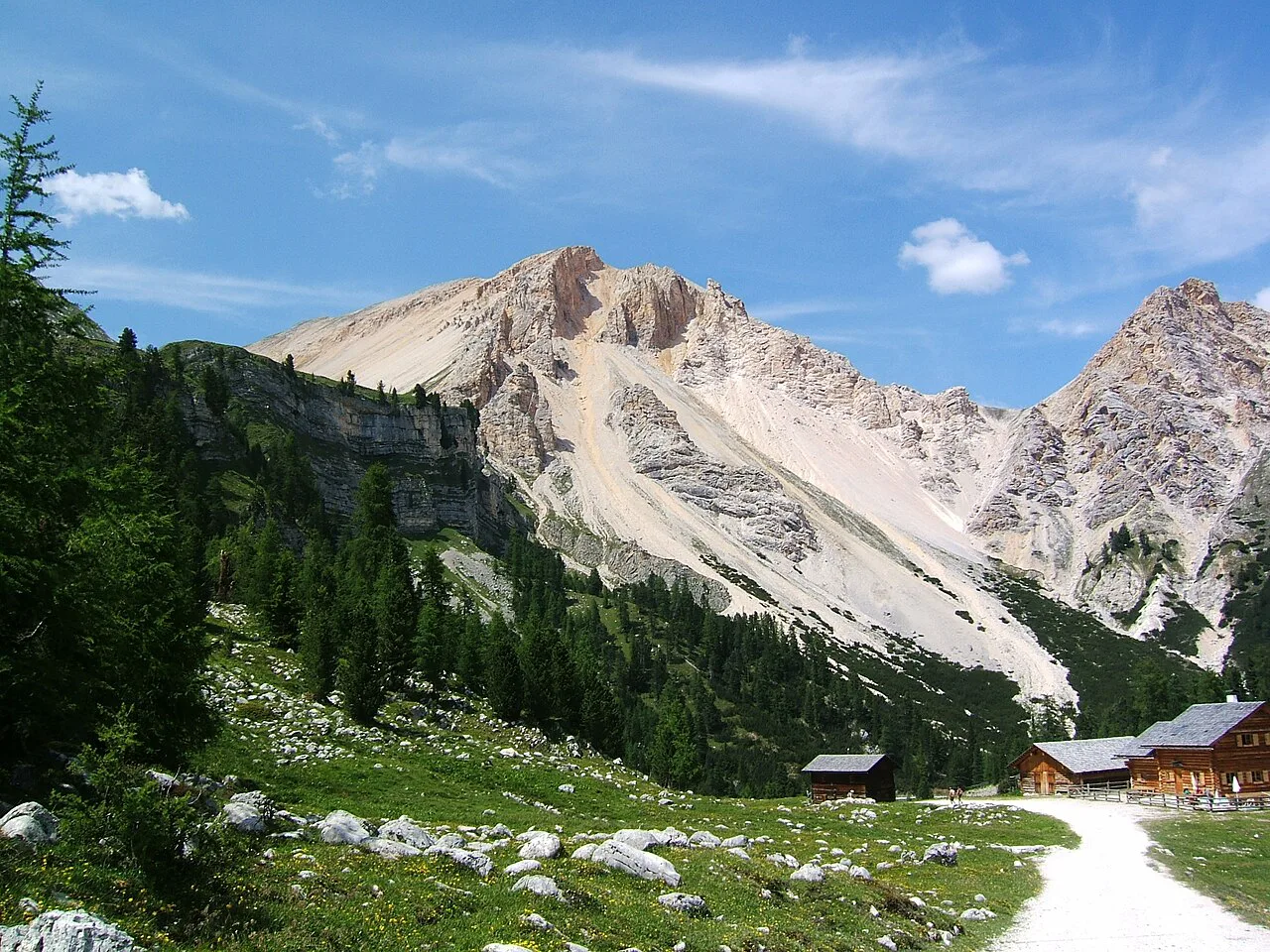
Most day routes pass at least one rifugio, and these are the places to refill water, eat a plate of pasta and shelter from a storm. Refuges generally open from mid-June to late September, with the most popular ones on the Tre Cime and Lagazuoi circuits serving throughout July and August. Reservations matter mainly for overnight stays; day visitors can usually buy food and drinks without booking, though tables fill at lunchtime.
Water sources are reliable on the main trails in midsummer, but carrying 1.5 to 2 litres (50 to 68 fl oz) per person is sensible on longer routes with few refill points. If you are considering linking several days, the hut to hut hiking dolomites guide explains how the refuge network fits together.
Where to base yourself
Cortina d'Ampezzo is the best base for the eastern trails: Tre Cime, Lagazuoi, Cinque Torri and the Falzarego passes are all within an hour's drive or a bus ride. Val Gardena, with Ortisei at its centre, puts the Seceda and Alpe di Siusi lifts on your doorstep and gives quick access to the Odle and Puez-Odle trails; for trail-by-trail detail on that base, see the guide to hiking in Val Gardena. Alta Badia, around Corvara and La Villa, suits the Fanes plateau and the northern Alta Via 1 stages, and has its own lift network for high starts.
Gear for a Dolomites day hike
Layers are the core of a Dolomites day pack: a moisture-wicking base, a light fleece or wind jacket, and a waterproof shell with rain pants. Sturdy hiking boots with ankle support handle the loose rock and scree on descents, and trekking poles save your knees on the long drops from Lagazuoi or Seceda. Sun protection matters at altitude, where UV is noticeably stronger than at sea level, and a headlamp is essential for the Lagazuoi tunnels and useful if a day runs long.
Pack a refillable bottle, snacks, a map or offline navigation app, and a thin hat and gloves for early starts and pass crossings. A lightweight emergency bivvy or space blanket weighs little and covers the case of an unexpected night out.
Multi-day versions of these routes
Several of the day hikes in this guide form sections of longer routes. The Alta Via 1 starts at Lago di Braies, crosses the Fanes plateau and passes Lagazuoi and Cinque Torri on its way south to Belluno, covering about 120 kilometres (75 miles) over nine or ten days; route guides give the highest point as Rifugio Lagazuoi at 2,752 metres (9,029 ft). If a day on these trails leaves you wanting more, the alta via 1 is the natural next step.
Plan Your Day Hike
Start with the trailhead you can actually reach: if you are car-free, base in Ortisei for the lifts or Cortina for the buses to Falzarego and Tre Cime. Pick a route that matches your available hours, then work backwards to an early start that puts you off high ground before the afternoon storms. Pack layers, boots and a headlamp, and you will have the essentials for whichever Dolomites day hike you choose.
Frequently Asked Questions
What is the most popular day hike in the Dolomites?
The Tre Cime di Lavaredo loop is the most popular, a roughly 10-kilometre circuit from Rifugio Auronzo that takes three to four hours and passes Rifugio Lavaredo and Rifugio Locatelli. Its accessibility by toll road makes it busy in summer, so start early.
Can a beginner hike in the Dolomites?
Yes. Lift-assisted routes such as the Cinque Torri circuit, the Alpe di Siusi meadow paths and the Tre Cime loop suit fit beginners, with modest ascent and well-marked trails. Longer ascents like Lago di Braies to Rifugio Biella demand more fitness and comfort on steep ground.
How many days do you need for day hikes in the Dolomites?
Three to five days lets you sample the eastern and western highlights without rushing: one day for Tre Cime, one for Lagazuoi and Cinque Torri, one for Seceda or Alpe di Siusi, and one for Lago di Braies or the Fanes plateau.
When is the best time for Dolomites day hikes?
Late June through September offers the most reliable conditions, with July and August warmest and all lifts running. Early July and September combine good weather with fewer walkers, while afternoon thunderstorms are common from mid-July.
Do I need a car to reach Dolomites trailheads?
Not necessarily. Buses link Cortina with Passo Falzarego and the Tre Cime area, and Dobbiaco with Lago di Braies, while Ortisei's lifts are walkable from town. Schedules are thinner outside July and August, so plan around the published timetables.
Sources
Trail notes for your next trip
Optional updates when we add or revise hiking guides.
You might also like

Continue reading
More guides you'll find useful