Adolf Munkel Trail: Dolomites Loop Guide from Zannes
Walk the Adolf Munkel Trail from Zannes past three South Tyrolean huts. Distance, ascent, walking time, route stages and the best months to hike it.
On this page
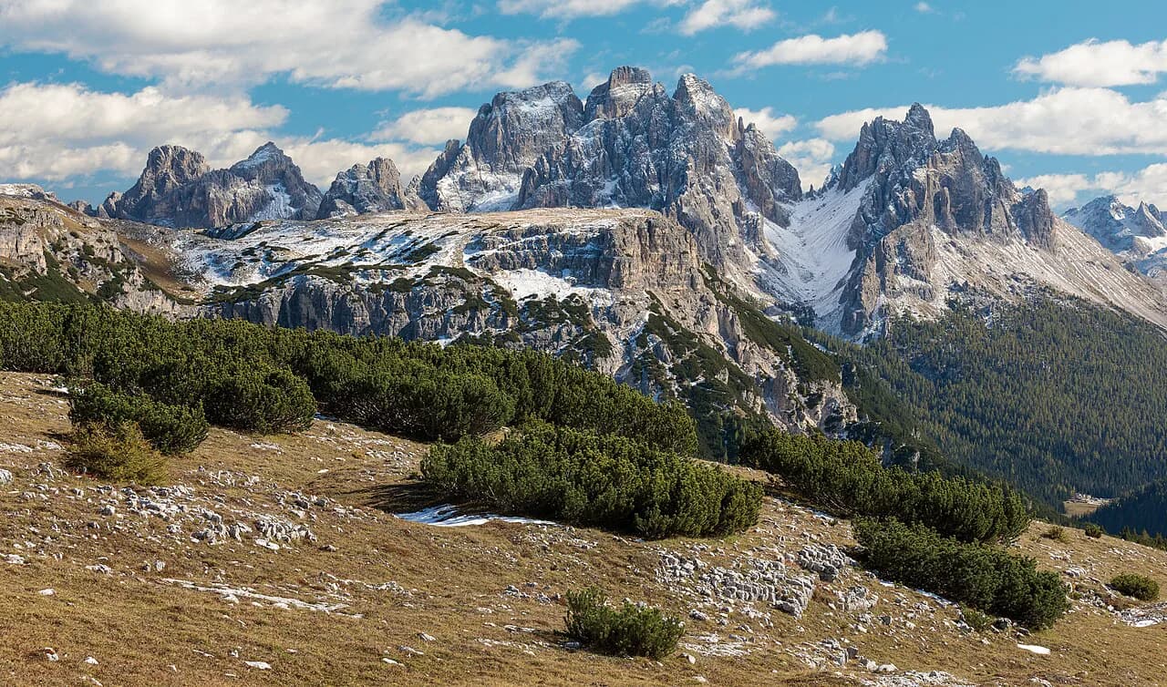
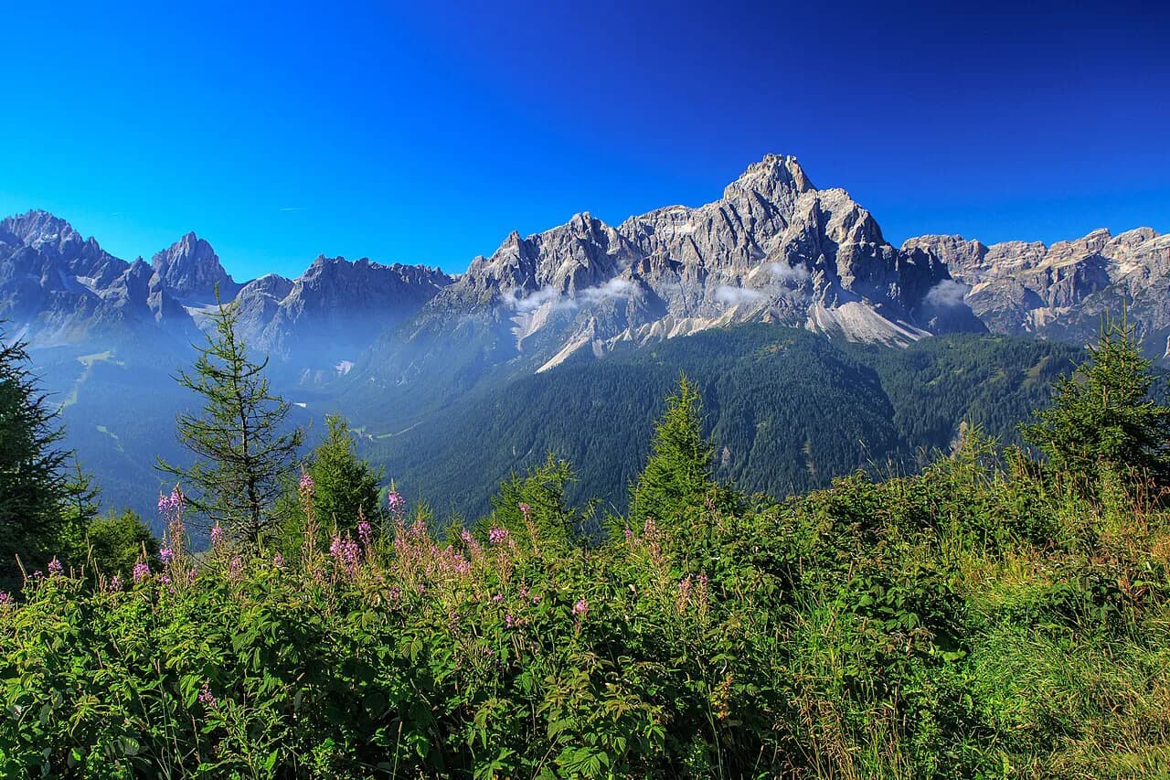
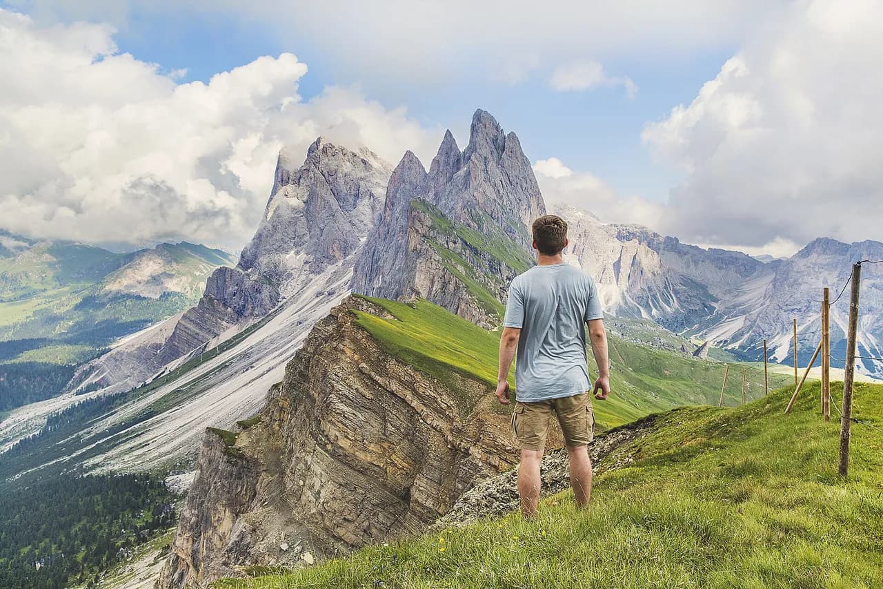
The Adolf Munkel Trail delivers one of the Dolomites' great wall views with surprisingly little effort: a 9 km (5.6 mi) loop that keeps the jagged Odle/Geisler peaks in front of you for much of the way. It suits hikers with a half day and modest fitness, families with older children, and anyone who wants a big-mountain day with huts, meadows and no technical ground.
The route lies in the northern Dolomites inside Puez-Odle Nature Park, above Val di Funes in South Tyrol. If this is your first trip to the range, the wider hiking in the Dolomites guide helps you see how the Odle loop fits alongside the bigger Dolomite days, and it is worth comparing this valley circuit with hiking in Cortina d'Ampezzo if you plan to base yourself in more than one corner of the range.
Trailhead and parking at Zannes
The loop starts and finishes at the Zannes (Zanser Alm) parking lot at the end of the Val di Funes road, with the trailhead at roughly 46.63486, 11.76410. The lot is large and paid, and the guide used here records an indicative 2025 price of €10 per car, so have change or a card ready on arrival.
Because the lot is paid and the trail is heavily used in summer, the practical constraint on your day is arrival time rather than the walking itself; an early start buys you quiet forest on the climb and the best chance of a free space.
The loop is a circuit from the same lot, so there is no car shuttle or return leg to organize. Check current bus connections up Val di Funes with the South Tyrol transport operator before relying on public transport, and base yourself in the valley if you want a short drive to the trailhead.
Distance, ascent and time
Count on 9 km (5.6 mi), about 420 m (1,378 ft) of ascent and a walking time of roughly 3 h 15, with short photo and water breaks included but not a long hut lunch. The high point of the loop sits at 2,053 m, and the route rates as easy with no technical difficulties, which makes it a sensible first Dolomite hike.
A longer version of about 17 km (10.7 mi) is also described for hikers who want to extend the day. Treat that as a separate choice by fitness and available hours: the short loop leaves time for a hut stop, while the extension turns the outing into most of a day.
Add 45 to 90 minutes if you plan a proper lunch of speck, knödel and strudel at one of the huts, and more if you linger at the Geisler Alm viewpoint. The loop gains its height gradually through forest, so the climbing is steady rather than steep.
Route description: Trails 36, 35 and 35A
The guide recommends walking the loop counterclockwise: Trail 36 climbs from Zannes through forest to Dusler Alm at 1,782 m, then continues to Rifugio Odle/Geisler Alm at 1,996 m. Walking this way keeps the Odle massif facing you on the most scenic stretch, so you are looking at the peaks rather than over your shoulder.
From Geisler Alm it is only a few minutes more to Malga Casanago/Gschnagenhardt Alm, the quiet pasture at the foot of the cliffs where the Adolf Munkel Trail proper, Trail 35, begins. Trail 35 then runs west along the base of the rock face through spruce and pine forest that opens in places, with the Furchetta and Sass Rigais rising above.
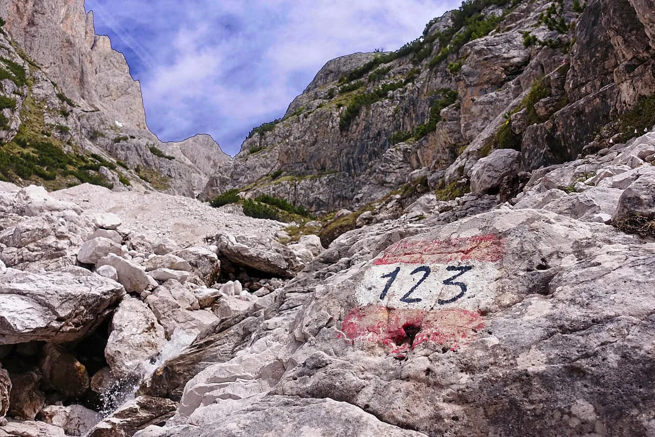
Just before the bridge over the Rio San Zenon, turn left onto Trail 35A, which descends gently back to the Zannes lot. The loop can be hiked in either direction, and the signposting at every junction is clear enough that navigation is straightforward.
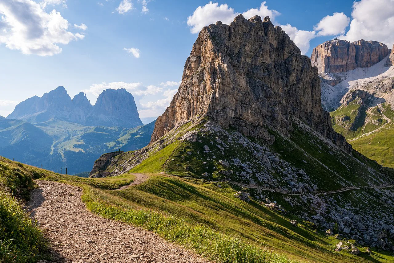
The three huts on the route
Three traditional South Tyrolean huts line the counterclockwise route, each at a different altitude and mood. Dusler Alm at 1,782 m comes first and works as an early rest stop in the trees; Rifugio Odle/Geisler Alm at 1,996 m is the most photographed viewpoint on the hike, with the whole massif rising directly ahead.
Malga Casanago/Gschnagenhardt Alm sits below the cliffs and is the quietest of the three, with cows, horses and donkeys grazing the surrounding pasture. Any of them makes a good lunch stop, and the menu is the classic South Tyrolean hut fare of speck, knödel and strudel.
For longer Dolomite traverses where the huts are beds rather than lunch stops, the hut to hut hiking dolomites guide explains how the alpine-club booking system works.
When to go
The season runs from June through October. October gives the best balance of the year here: moderate crowds, huts still open, and autumn colors on the larch and beech below the cliffs.
July and August bring the heaviest use of the trail and the busiest hut terraces, so start early if you hike then. June can still carry old snow high on the loop, and by late October the first snows may reach the pastures.
Exposure, weather and footing
The route is easy and non-technical, alternating forest track, narrow paths through the woods and open pasture. There is no scrambling, but the pasture stretches below the Odle wall are fully open to the sun and to afternoon thunderstorms, which build quickly over the range in summer.
The sensible response is to be off the open meadows by early afternoon and to carry a light rain shell even on a clear morning. Trekking poles help on the forest descent of Trail 35A, which is gentle but rooty in places.
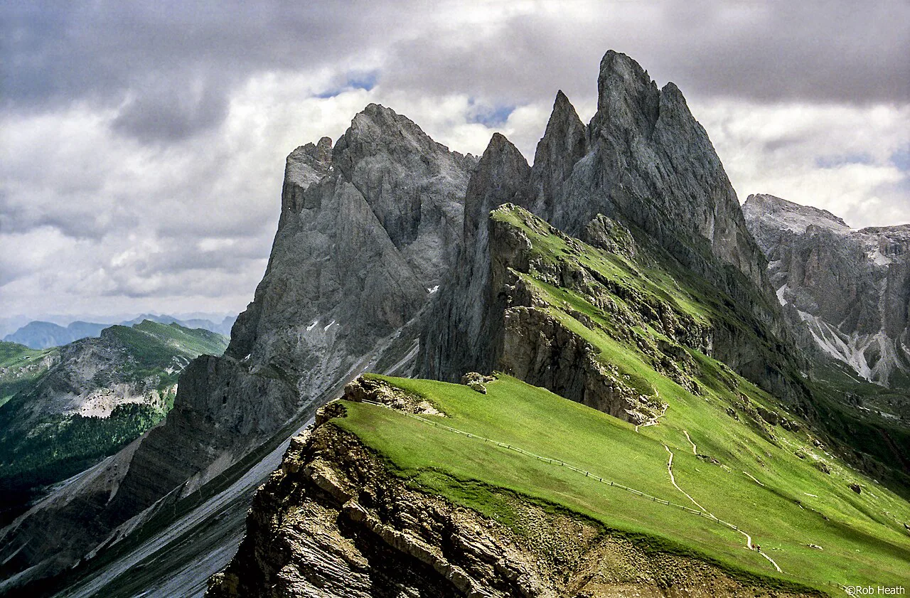
Combining the loop with other Odle hikes
The Odle and Puez-Odle area offers harder days for hikers who want more than the Adolf Munkel loop, including routes toward the Puez and Genova huts deeper in the park. The alta via 2 crosses this ground, and its stages through Rif Puez make a natural next step up from the valley loop.
For a long-distance Dolomite itinerary with a different character, the Alta Via 1 Guide follows high passes and hut nights from Lago di Braies south. If you want climbing terrain rather than walking, the dolomites via ferrata routes are a different pursuit and need gear and, on the harder lines, a guide.
Beyond the Odle, the Brenta Dolomites lie outside this destination but reward a separate trip with their own via ferrata and hut network.
Walking the Adolf Munkel Trail with a dog
The three huts along the loop are a natural place to pause with a dog, and the animals you meet on the way are part of the appeal of this route. The alpine pastures you cross are grazed by cows, horses and donkeys, and they stand at the foot of the cliffs beside the trail. On the open sections of pasture between Rifugio Odle/Geisler Alm at 1,996 m and Malga Casanago/Gschnagenhardt Alm, where the Adolf Munkel Trail proper (No. 35) begins, the trail winds through spruce and pine forest that is open enough in places to offer glimpses of the peaks. The huts themselves — Dusler Alm at 1,782 m, Geisler Alm and Gschnagenhardt Alm — sit on the route as rest stops serving South Tyrolean specialties such as speck, knödel and strudel.
The character of the walking matters more than the distance when a dog is along. The loop is easy and presents no technical difficulties; the trail is wide and well-marked, with clear signage and directional signs at every intersection, and the terrain alternates between forest tracks, narrow paths through the woods, and sections across open alpine pastures. The climb is steady rather than steep in any one place: 420 m of elevation gain over 9 km, with the high point of the circuit at 2,053 m. The route is not vertiginous. The official recommendation is to walk the loop counterclockwise — Trail 36 uphill, then Trail 35 followed by Trail 35A downhill — because it lets you hike facing the Odle massif along the most scenic part of the route; that also means the forest climb through Dusler Alm comes first and the descent back to the start comes last.
Timing your day around the season is the other practical point. The best window is June through October, and October offers the best balance of moderate crowds, open huts and beautiful fall colors. The trail sees very heavy use in the summer, so an autumn day gives a dog more room on the narrow wooded stretches and at the junctions where Trail 36, Trail 35 and Trail 35A meet. The walk is rated at 3 h 15 including short breaks for photos, water and snacks, with a picnic not counted, so plan water for the dog across that span rather than for a short outing.
Taking a dog on the Adolf Munkel Trail
The Adolf Munkel Trail is a loop of 9 km with 420 m of elevation gain, rated easy, and it runs through the Puez-Odle Nature Park. The route passes three mountain huts: Dusler Alm (1,782 m), Rifugio Odle/Geisler Alm (1,996 m), and Malga Casanago/Gschnagenhardt Alm. The trail is well-marked and wide, with no technical difficulties. The terrain alternates between forest tracks, narrow paths through the woods, and open alpine pastures. Along the way, cows, horses, and donkeys graze at the foot of the cliffs, so keep your dog under control around livestock.
The best time to go is June through October. October offers the best balance of moderate crowds, open huts, and beautiful fall colors. The trail sees very heavy use in the summer. The loop can be hiked in either direction, but the counterclockwise route (Trail 36 uphill, then Trail 35 followed by Trail 35A downhill) is recommended because it allows you to hike facing the Odle massif along the most scenic part of the route.
Parking is at the large paid lot in Zannes/Zans at the end of the Val di Funes road. The indicative price in 2025 is €10 per car. The trail starts from the Zannes (Zanser Alm) parking lot. The route is popular and heavily used in summer, so an early start helps avoid the busiest hours.
Plan Your Visit
Pick the Adolf Munkel Trail for a half day of big Dolomite scenery without technical ground: park at Zannes, walk Trail 36 counterclockwise to Dusler Alm, Geisler Alm and Gschnagenhardt Alm, then return on Trail 35 and 35A. Start early to secure a spot in the paid lot and to have the forest climb to yourself.
Aim for late June, September or October for open huts and manageable crowds, and build in time for lunch at one of the three huts. Bring a shell for afternoon storms and cash or a card for the parking fee.
Frequently Asked Questions
How long is the Adolf Munkel Trail?
The standard loop is 9 km (5.6 mi) with about 420 m (1,378 ft) of ascent and a walking time of roughly 3 h 15. A longer version of about 17 km (10.7 mi) is also described for hikers who want to extend the day.
Where does the Adolf Munkel Trail start?
It starts and finishes at the Zannes (Zanser Alm) parking lot at the end of the Val di Funes road in South Tyrol, at roughly 46.63486, 11.76410. The lot is paid, and the guide used here lists an indicative 2025 charge per car.
Can you hike the Adolf Munkel Trail in either direction?
Yes, the loop works both ways and junctions are clearly signed. The recommended direction is counterclockwise on Trails 36, 35 and 35A, which keeps the Odle massif in front of you on the most scenic stretch.
Which huts are on the Adolf Munkel Trail?
In counterclockwise order you pass Dusler Alm at 1,782 m, Rifugio Odle/Geisler Alm at 1,996 m and Malga Casanago/Gschnagenhardt Alm. All three serve South Tyrolean hut food and make good lunch stops.
When is the best time to hike the Adolf Munkel Trail?
The season runs from June through October. October is the sweet spot, with moderate crowds, huts still open and autumn color, while July and August are busiest and June can hold old snow.
Sources
Trail notes for your next trip
Optional updates when we add or revise hiking guides.
You might also like

Continue reading
More guides you'll find useful