Cadini di Misurina Hike: Dolomites Viewpoint Route Guide
Plan the Cadini di Misurina hike from Rifugio Auronzo: the short viewpoint trail, the Sentiero Bonacossa via ferrata, trailhead access and where to sleep.
On this page
The Cadini di Misurina hike delivers one of the Dolomites' sharpest viewpoints for a modest amount of walking: roughly 2 km (1.2 miles) and 35 to 45 minutes from the car park at Rifugio Auronzo, with jagged pinnacles filling the skyline ahead. It suits hikers with a head for a narrow, exposed finish and a full day free for a second objective nearby.
Because the walk itself is short, the real planning decisions are the trailhead fee, the direction you take at the car park and whether you stay for sunrise. If you want the wider menu of walks around Cortina and Auronzo before committing, start with the hiking in dolomites overview and then come back to this route.
What the Cadini di Misurina viewpoint delivers
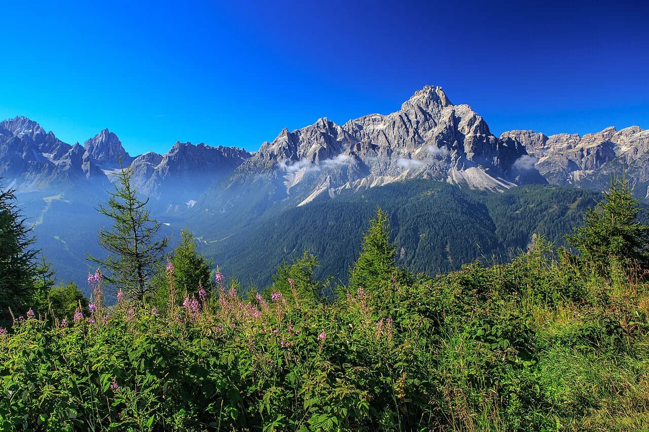
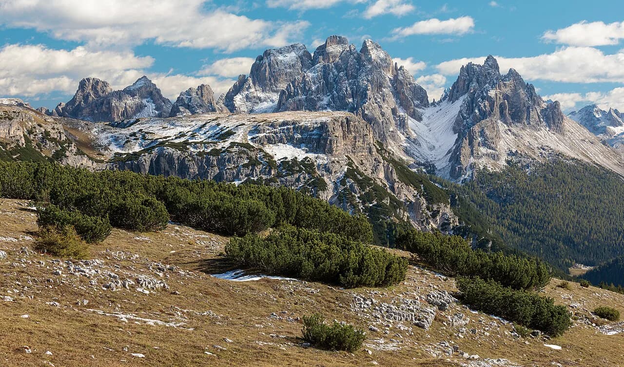
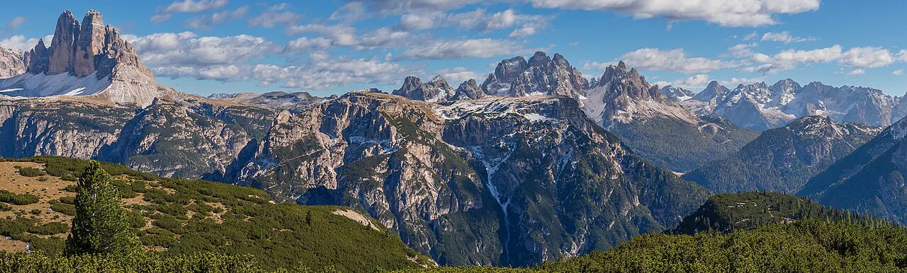
The viewpoint looks across a cluster of slender rock towers, the Cadini group, from a ledge above a steep drop. Photographs suggest a long expedition; the approach is a broad path that narrows into a short final section where the ground falls away on both sides.
Choose this hike if you want a big Dolomites view without a long day out, or if you are adding a second objective such as Tre Cime di Lavaredo to the same car park. Skip it as your main event if you have driven a long way for a full-day mountain route, and look instead at the longer high routes in the range such as the alta via 1. If you are weighing other short scenic routes against a full day out, hiking in Lake Garda offers a similar short-viewpoint-versus-long-traverse choice.
Where Cadini di Misurina sits in the Dolomites
The Cadini rise above Lake Misurina, the largest natural lake in Cadore, which sits at about 1,756 m (5,755 ft) in the province of Belluno. The viewpoint trail leaves from Rifugio Auronzo on the road above the lake, the same trailhead used for Tre Cime di Lavaredo.
For orientation, Misurina village lies below on the lake shore, Cortina d'Ampezzo is the largest town within easy driving distance, and Auronzo di Cadore administers the land the lake sits in. All three work as bases, with different driving times to the toll road up to Rifugio Auronzo.
Rifugio Auronzo trailhead and parking
Driving up to the Rifugio Auronzo car park puts you at the start of both the Cadini viewpoint path and the Tre Cime circuit. The parking area is large, and arriving early gives you room and a quieter path.
As reported, park entry costs 30 EUR per car or 45 EUR per campervan and covers 24 hours inside the national park, with a 25 EUR late-checkout fee if you overstay; that window shapes any plan to combine two hikes in one day. Treat the figure as the rate reported by hikers and confirm the current tariff with the park authority before you travel.
The earliest day-trippers reach Rifugio Auronzo around 7:00, so an early sunrise start means staying at the hut or walking up from below rather than parking at first light.
Getting to Rifugio Auronzo without a car
From Misurina, Bus 444 heads up toward the rifugio, reported to run from around 9:00 to 17:00 at 3 EUR per person. That timing rules out sunrise by bus, so plan the viewpoint for mid-morning or later if you rely on public transport.
Walking or cycling up from Misurina is free and shortens the day's driving, but it adds a stiff climb before you even reach the viewpoint path. Save it for fit walkers who want the lake ring as a warm-up.
Distance, ascent and time to the viewpoint
The out-and-back to the Cadini di Misurina viewpoint from the car park is about 2 km (1.2 miles) with roughly 35 to 45 minutes of walking each way at an easy pace. Elevation gain is modest because the trailhead already sits high above the lake.
Allow two hours for the round trip if you photograph, sit out the view and pick your way carefully down the final ledge. Hikers who only want the classic photo can be back at the car in under 90 minutes.
Route description from the car park
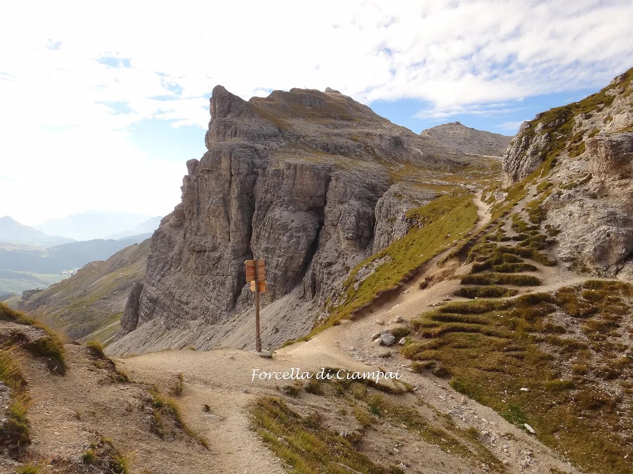
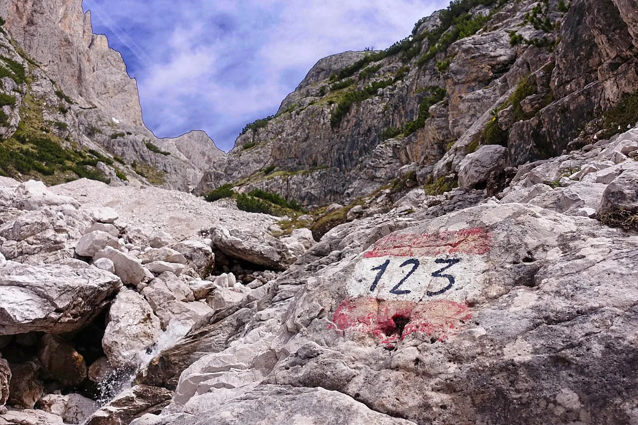
From the Rifugio Auronzo car park, most people walk toward trail 101, which heads for Tre Cime di Lavaredo. For the Cadini viewpoint you turn the opposite way, roughly toward trail 117, and follow a faint path that firms up after a few minutes.
The Cadini pinnacles stay visible to your left as you walk, and behind you the three summits of Tre Cime rise across the basin. About 20 minutes in, the path narrows and begins to follow the contour toward the viewpoint.
If you want a longer continuation, the Forcella Lavaredo saddle is a short add-on from the same trailhead, and the crowds heading there make it an easy path to follow.
The final scramble to the viewpoint edge
The last stretch to the viewpoint is a narrow path with steep drops on both sides and loose ground underfoot, so it is a real exposure decision rather than a photo stop. If you are uneasy with cliff edges, stop where the path widens and enjoy the view from there.
Turn back in wind, rain, fog or fresh snow, because the ledge becomes slick and the drops are not protected. Sturdy shoes with grip matter more here than on the rest of the walk.
The Sentiero Bonacossa option via Rifugio Fonda Savio
For a bigger day, the Sentiero Bonacossa traverses below the Cadini and reaches the viewpoint from Rifugio Fonda Savio. The route is graded a beginner via ferrata: a helmet is advised, and a full kit is sensible if you are not confident on exposed ground.
The line drops steeply first, then zigzags up a technical rocky section protected by a steel cable before the viewpoint appears on your right. If the fixed gear is beyond you, the safe alternative is to return the way you came from Fonda Savio and approach the viewpoint from the Rifugio Auronzo side.
Hikers building a Dolomites trip around protected terrain should read the dolomites via ferrata planning notes before choosing gear and grading.
The two-day mini hut-to-hut version
The hut-to-hut version strings the lake, Fonda Savio and the viewpoint into two days, totaling 15.9 km (9.9 miles), +820 m (2,690 ft) and -860 m (2,820 ft) of descent. Day one runs 11.4 km from Rifugio Auronzo down past Lake Misurina and up to Rifugio Fonda Savio, with 590 m of ascent and 590 m of descent and about 4:30 hours of walking.
Day two is 4.5 km from Fonda Savio past the Cadini viewpoint to Rifugio Auronzo, gaining 230 m and losing 270 m in about 2:15 hours. Overnighting at Fonda Savio, with dinner and breakfast arranged through the hut booking, puts you at the viewpoint before the day visitors arrive.
This format suits hikers who want a taste of hut to hut hiking dolomites without committing to a multi-week traverse. Book Rifugio Fonda Savio well ahead in high season, and check current rates and availability directly with the rifugio when you reserve, asking about dormitory and private-room options.
When to go
The trail is at its best in summer and early autumn, when the path above the treeline is dry and the rifugio is open. Snow lingers on shaded ground into late spring, and early storms roll in on summer afternoons, so start early and plan to be off the exposed ledge by midday.
The light at sunrise is the reason many hikers overnight at Fonda Savio, and the viewpoint is often quiet before the first cars arrive. Photographers should allow for a cold wind at dawn even on warm days at the lake.
Pairing the hike with Tre Cime di Lavaredo
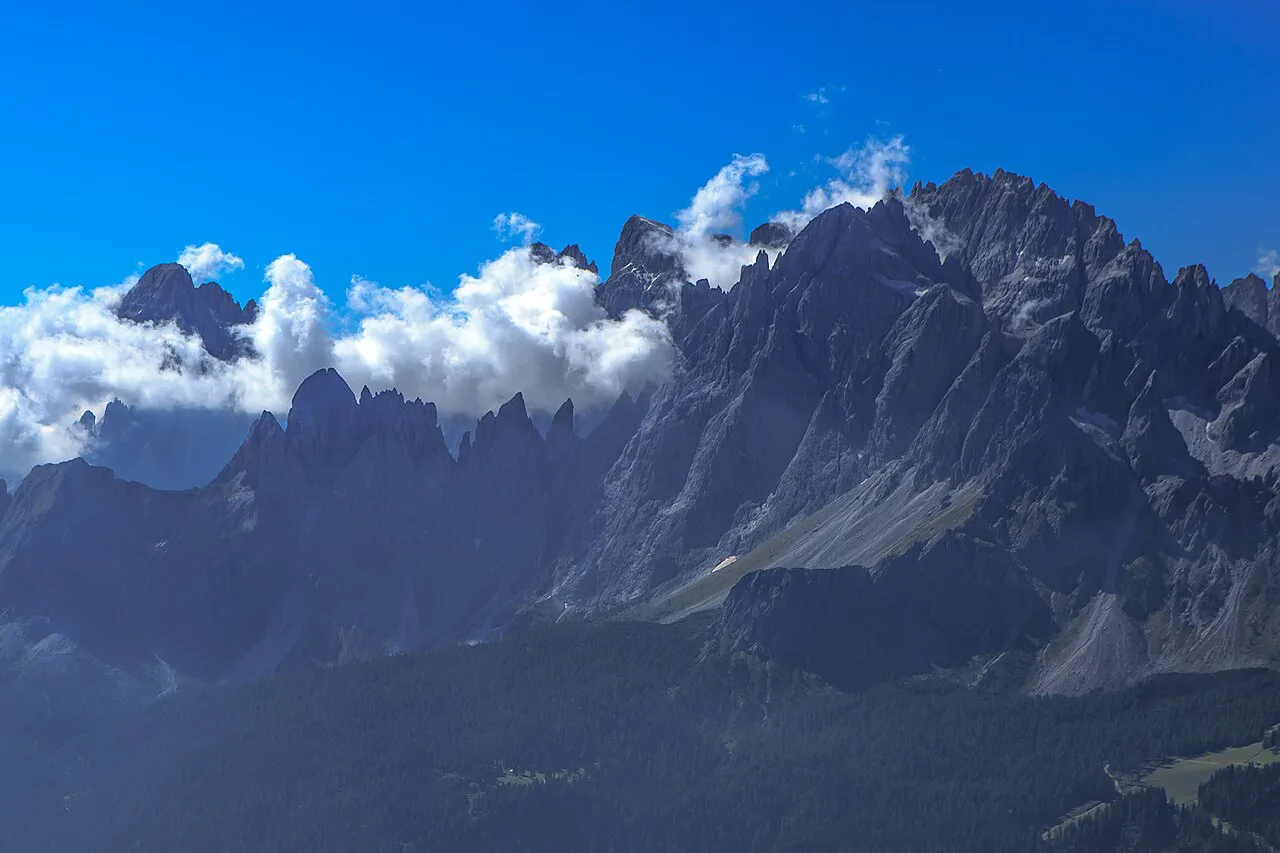
Because both walks start from the same car park, many hikers do the Cadini viewpoint in the morning and the Tre Cime circuit in the afternoon. Doing them in that order spreads the crowds, since most walkers set off for Tre Cime first thing.
The 24-hour parking window is the constraint: arrive in the morning and both hikes fit comfortably, but a late start plus a long Tre Cime afternoon risks the overstay fee.
Where to base yourself
Rifugio Auronzo is the most convenient base because it sits at the trailhead, with rooms and a large car park. Misurina, about 20 minutes down the road, has lakeside hotels and is quieter in the evening.
Cortina d'Ampezzo, roughly 40 minutes' drive away, has the widest choice of hotels and restaurants. Auronzo di Cadore is the administrative base for the lake and a good option for a longer Dolomites stay.
Other walking from Lake Misurina
A flat ring tour circles the lake, 2.69 km with about 20 m of elevation, and is the easy recovery walk after a bigger day. For a staircase of a climb, the path up to Rifugio Col de Varda from the lake is 7.47 km with 370 m of ascent and takes around two and a half hours.
The Bonacossa Trail loop from the lake is the harder outing, 10.7 km with 810 m of ascent, and should only be attempted with proper gear and settled weather. Each of these stays within the Cadini and Misurina basin.
Mountain safety on the Cadini paths
The main hazards are the unprotected edge at the viewpoint, loose rock on the descent toward Fonda Savio and sudden thunderstorms above the treeline. Carry a helmet if you plan the Bonacossa, keep a close eye on the weather, and turn back if the rock is wet.
Plan Your Visit
The Cadini di Misurina hike rewards those who pick the right version: a short early-morning walk to the viewpoint, a Bonacossa loop with protection, or a two-day hut-to-hut with a sunrise at the ledge. Decide on your objective first, then build parking, hut booking and timing around it.
If you want a longer Dolomites itinerary built around huts and high passes, the Alta Via 1 Guide covers the classic routes from Lago di Braies southward.
Frequently Asked Questions
How long does the Cadini di Misurina hike take?
The viewpoint out-and-back from Rifugio Auronzo is about 2 km and takes 35 to 45 minutes each way at an easy pace. Allow two hours for the round trip if you stop to photograph. The two-day hut-to-hut version takes two walking days of roughly 4:30 and 2:15 hours.
Where does the Cadini di Misurina hike start?
The viewpoint trail starts at the Rifugio Auronzo car park above Lake Misurina, the same trailhead used for Tre Cime di Lavaredo. From the car park, walk in the opposite direction to trail 101, roughly toward trail 117, and follow the faint path.
How do I get to Rifugio Auronzo without a car?
Bus 444 connects Misurina with Aurora and the rifugio during the day. Hikers can also walk or cycle up from the lake. The bus timing limits early starts, so plan an overnight at a hut if you want the viewpoint at sunrise.
Is the Cadini di Misurina hike difficult?
The viewpoint route is short and mostly moderate, but the final ledge is narrow with steep drops on both sides. If you are not confident on exposed ground, stop where the path widens. The Bonacossa route adds exposed ground with fixed cable and a beginner via ferrata grading.
Can I hike Cadini di Misurina and Tre Cime di Lavaredo in one day?
Yes, both routes start from the Rifugio Auronzo car park. Many hikers do the Cadini viewpoint first and the Tre Cime circuit in the afternoon. Keep an eye on the 24-hour parking window if you combine them.
What gear do I need for the Sentiero Bonacossa?
A helmet is advised for the Bonacossa, and a full via ferrata kit is sensible if you are not confident on exposed ground. Bring sturdy shoes and check the route grading before setting out.
Sources
Trail notes for your next trip
Optional updates when we add or revise hiking guides.
You might also like

Continue reading
More guides you'll find useful