Gemmi Pass Hike from Kandersteg: Route, Distance and Lifts
Walk the Gemmi Pass hike from Kandersteg over a historic alpine pass toward Leukerbad, with route stages, the Daubensee and the gondola descent option.
On this page
The Gemmi Pass hike crosses a historic high route between the Bernese Oberland and the Valais, starting from Kandersteg and finishing at the pass above Leukerbad. It suits hikers who want a full day on open alpine ground with a lake, a broad saddle and a long view down the Rhone valley, and who are comfortable committing to a one-way traverse or reversing the route on foot.
The walk is not a technical climb, but it is a pass crossing: you gain height steadily from the village, walk through high pasture, and then either descend a long, steep path to Leukerbad or ride the Gemmi gondola down. The decision between those two endings shapes the day more than anything else on the route.
What the Gemmi Pass hike offers and who it suits
This is a classic pass walk rather than a summit day. The reward is the crossing itself: the approach through pasture above Kandersteg, the open bowl around the pass, and the sudden change of scenery as the ground falls away toward the Valais. Hikers who enjoy big views and steady gradients get more from it than those hunting exposure or scrambling.
It suits fit walkers with a full day available and reasonable mountain experience, because the pass sits high enough to hold old snow and to catch fast weather changes. If you want a shorter introduction to the area before committing to a pass crossing, the Oeschinensee Hike from Kandersteg gives you a lake-and-lift day on the same side of the valley with less commitment.
Where the hike starts and ends: Kandersteg trailhead and access on foot
The route begins in Kandersteg, a village in the Bernese Oberland with a railway station and a compact center, so you can start walking from your accommodation rather than driving to a remote trailhead. Kandersteg sits at roughly 1,170 m (about 3,840 ft), which sets the height you have to gain before the pass.
On the Leukerbad side the route finishes at the pass station of the Gemmi gondola, where the lift connects the high ground with the village below. That lift is what makes a one-way traverse practical: without it, the day ends with a long knee-jarring descent into Leukerbad.
The Leukerbad end: Gemmi gondola and its operating season
The Gemmi gondola runs from Leukerbad up to the pass, so the descent can be shortened to a lift ride at the end of the traverse. Timings, fares and the exact season vary through the year and are set by the lift operator, so look up the current operating calendar on the official Gemmi and Leukerbad pages before you fix your date.
If the gondola is not running, the pass is still reachable on foot from the Leukerbad side, but plan the day as a pure walking route with a longer descent. Groups with mixed fitness should decide in advance whether the lift is part of the plan, because that choice determines how late you can start from Kandersteg.
Distance, ascent and descent
Published figures for the crossing vary with the exact start and finish points, and there is no single official trail statistic to quote. As a working reference, one detailed route report gives Gemmi Pass as 8.6 km (about 5.3 mi) with over 400 m (roughly 1,300 ft) of climb and descent, walked in about 2 hours 15 minutes and taking nearer 3 hours 30 minutes with stops; treat these as one party's numbers rather than a fixed standard.
For planning, add the height you gain from the village and the time you lose on stops, photography and the descent. A fit party moving steadily will be faster than those figures suggest; a group with children or heavy packs should build in considerably more time and start early.
Route description: from Kandersteg to the pass crest
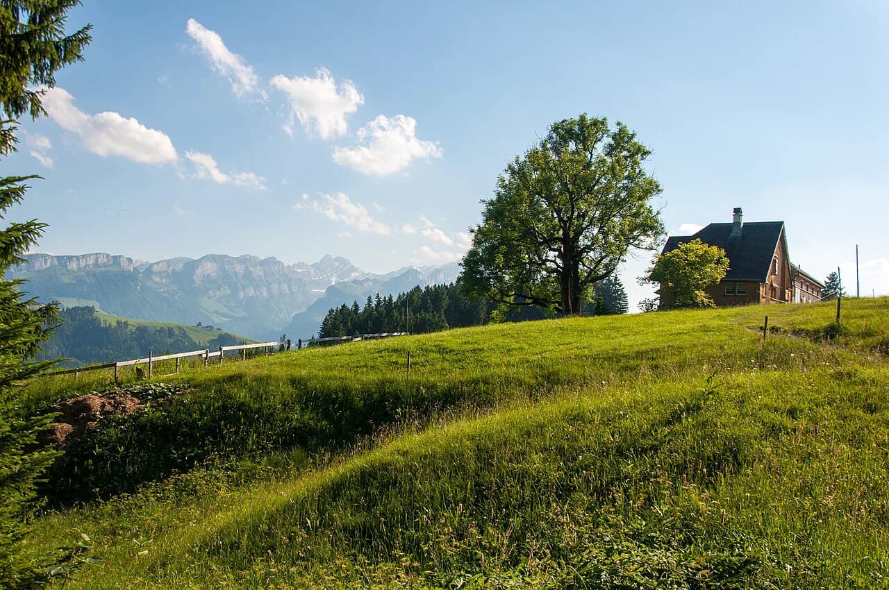
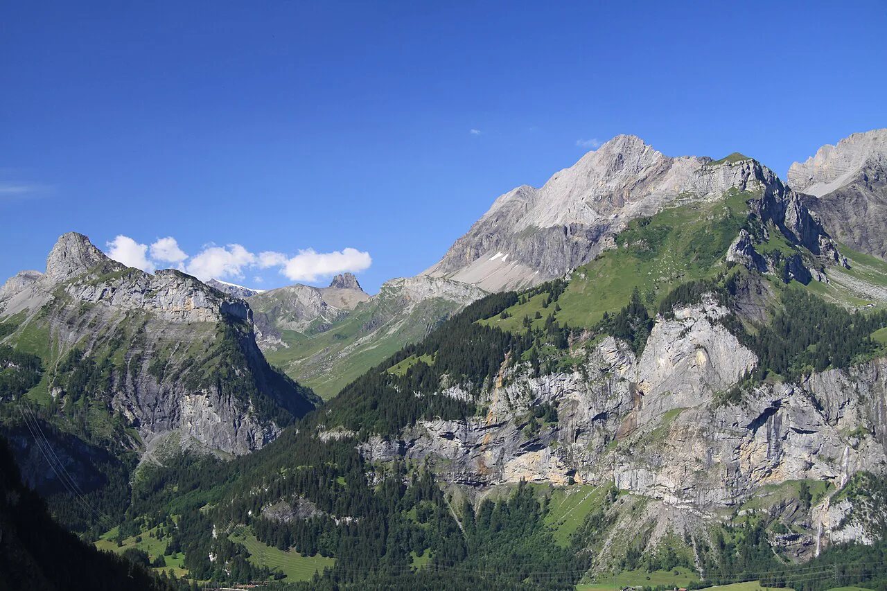
From the village the path climbs through pasture and scattered woodland on the eastern side of the valley, gaining height steadily before the ground opens out into high alpine meadow. The gradient is persistent rather than brutal, and the views back over Kandersteg and the surrounding peaks widen with every switchback.
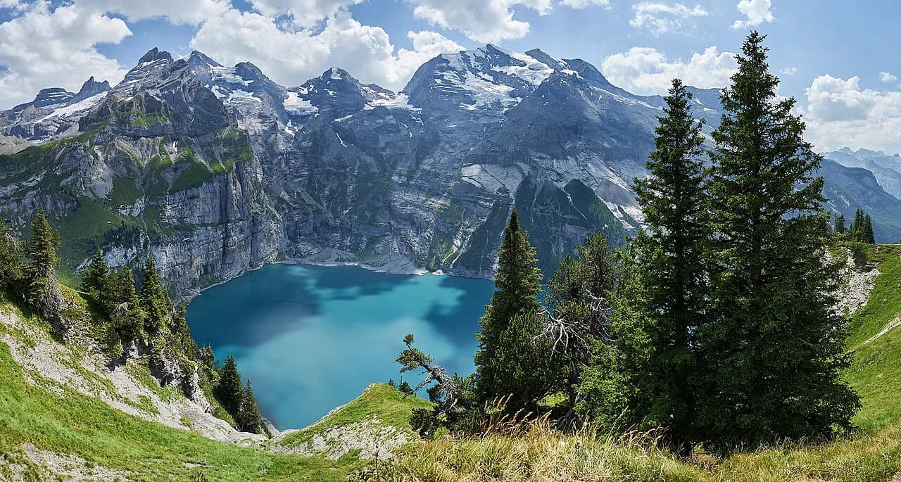
Higher up, the route reaches open ground around the pass, where the Daubensee lies as the main landmark on the approach. The lake is shallow and sits in a wide bowl below the crest, so you see the pass saddle ahead of you for a long stretch, which makes navigation simple in clear weather.
The crest itself is a broad saddle rather than a narrow notch, and it marks the change from the Bernese side to the Valais side. From here the path descends toward the Gemmi gondola station and, if you are walking down, onward in long zigzags above Leukerbad.
Time to allow and how to pace the descent to Leukerbad
Give the crossing a full day. The climb from Kandersteg is the sustained part, the pass and Daubensee are where most people slow down, and the descent to the Leukerbad side is steep and long enough to punish tired legs. Starting early leaves margin for weather and for the lift.
The descent to Leukerbad is the decisive choice of the day. Riding the gondola turns the finish into minutes and saves your knees; walking it adds a significant block of steep downhill and suits only those with the legs and time for it. Afternoon thunderstorms are common in the Alps in summer, so aim to be off the exposed pass ground and below the crest before the day builds.
When to go: best months and snow on the pass
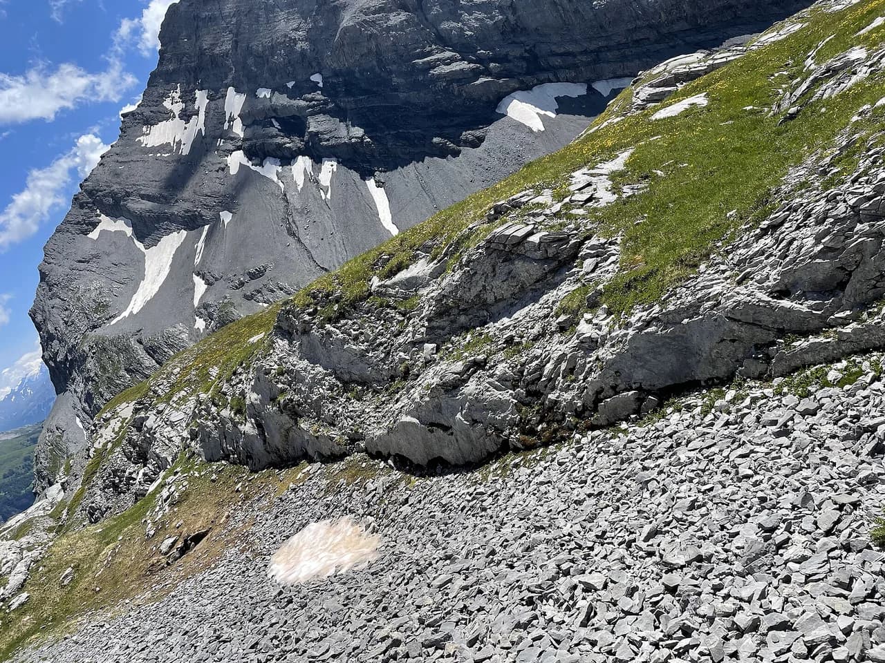
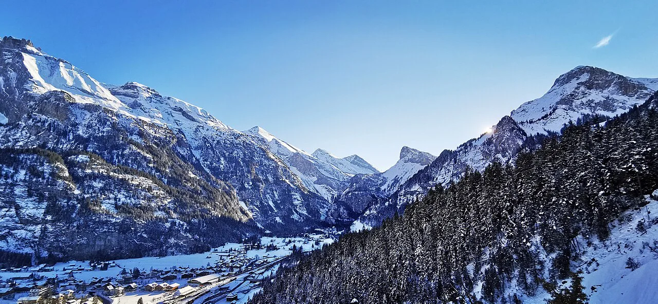
The pass is best walked in the snow-free summer months, roughly late June into October, when the high ground has cleared and the paths are dry. Old snow can linger on the upper slopes and around the Daubensee well into early summer, and early autumn snowfall can close the season quickly.
Check conditions on the pass itself rather than only in the village, because Kandersteg in the valley can be warm and green while the crest is still wintry. Webcams and the local tourist office are the quickest way to see what the pass looks like before you commit.
Weather, exposure and mountain-safety essentials
The pass is open and exposed, so wind, rain and cold arrive faster than in the valley, and the descent to Leukerbad crosses steep ground where a slip has consequences. Carry waterproof layers, enough water and a map or offline navigation, and turn back at the crest if the weather is closing in rather than pushing on to the far side.
Going one way or out-and-back from Kandersteg
A one-way traverse gives you the full crossing and the change of scenery into the Valais, but it requires the return journey by bus and train through the Rhone valley back to Kandersteg. That is the more satisfying day for fit hikers, but it depends on public transport running when you finish, so check connections for your date.
An out-and-back from Kandersteg avoids the logistics entirely: you climb to the pass, take in the Daubensee and the crest, then retrace your steps. You see the same ground twice, but the descent is gentler on tired legs than the Leukerbad side, and you can turn around wherever the weather or your energy suggests.
Getting back to Kandersteg from Leukerbad by bus and train
From Leukerbad you reach the rail network in the Rhone valley by bus, and from there trains connect back toward Kandersteg through the Bernese Oberland. Services run to a timetable rather than continuously, so work out the last useful connection before you set off and carry the schedule with you.
Book the return leg with the hiking day in mind. Leave enough margin between reaching the gondola station and the bus departure that a slow descent or a weather delay does not strand you in Leukerbad.
Huts, food and water along the route
Food and drink are concentrated at the ends of the route, in Kandersteg and around Leukerbad, with limited options at the pass itself. Carry your own water and provisions rather than counting on finding a refill on the high ground, and refill in the village before you start climbing.
If you want a hut night or a second day on the Kandersteg side, the SAC huts above the village give you accommodation at altitude, though they are not on the Gemmi route. The Oeschinensee area has the closest hut network and lakeside dining, described in the Oeschinensee Hike from Kandersteg, which is worth reading if you plan to base yourself in the village for several days.
Plan Your Gemmi Pass Day
Build the day around two decisions: whether you ride the Gemmi gondola down and whether you walk back or arrange the return through the Rhone valley. With those settled, start early from Kandersteg, pace the climb steadily, and treat the pass crest as your weather checkpoint.
Use the Kandersteg base for the approach, check the lift calendar and the pass conditions before you go, and keep a weather eye on the open ground above the Daubensee. For other routes on the same side of the valley, including lake and via ferrata options, the wider Kandersteg hiking guide fills in the rest of the area. If you are weighing this crossing against gentler valley and terrace walks nearby, hiking in Lauterbrunnen offers a useful point of comparison.
Frequently Asked Questions
How long is the Gemmi Pass hike from Kandersteg?
Published figures vary with the exact start and finish points. One detailed route report gives about 8.6 km (5.3 mi) with over 400 m of climb and descent, taking roughly 2 hours 15 minutes of walking and nearer 3.5 hours with stops. Treat these as a reference and add time for the village approach and the descent to Leukerbad.
Can you take a cable car on the Gemmi Pass hike?
Yes, at the Leukerbad end. The Gemmi gondola connects the pass with Leukerbad, so you can walk the crossing from Kandersteg and ride down rather than descending on foot. The operating season and daily hours are set by the lift operator, so confirm them for your date before relying on the lift.
Is the Gemmi Pass hike difficult?
It is a sustained pass walk rather than a technical climb. The climb from Kandersteg is steady, the pass and Daubensee are open ground, and the long descent toward Leukerbad is steep. Fitness, early starts and weather judgment matter more than technique, and the exposed pass requires proper layers.
What is the best time of year to hike the Gemmi Pass?
The snow-free summer and early autumn months are best, roughly late June through October. Old snow can linger near the pass early in the season and autumn snowfall can end it quickly. Check conditions on the pass itself, not only in the valley, before setting out.
Do you need to hike back to Kandersteg after reaching Leukerbad?
No, if you traverse. From Leukerbad, buses connect to the Rhone valley rail network, and trains run back toward Kandersteg. You can also walk down to Leukerbad instead of taking the gondola, or simply reverse the route and return on foot to Kandersteg.
Sources
Trail notes for your next trip
Optional updates when we add or revise hiking guides.
You might also like
Continue reading
More guides you'll find useful