Hiking in Kandersteg, Switzerland: Lakes, Lifts & Hut Trails
Plan hiking in Kandersteg, Switzerland: Oeschinensee, Allmenalp, Sunnbüel and Gasterntal trails, cable cars and hut routes, with distances and ascent.
On this page
Kandersteg sits at 1,170 m (3,839 ft) in the Bernese Oberland, with trailheads on the village edge and cable cars lifting hikers to the high ground above. That combination suits anyone who wants a lake circuit one day and a hut climb the next without moving hotels.
The hiking splits into four zones: Oeschinen and its lake, Allmenalp above the village, Sunnbüel and the approach toward the Gemmi, and the Gasterntal valley to the south. Each has a different character, and choosing by zone first is faster than choosing by trail name. If you are weighing this base against a bigger lift-served resort, our Grindelwald hiking guide sets out the same kind of zone-by-zone choice.
Why Kandersteg works as a hiking base
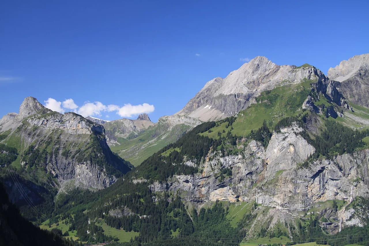
Kandersteg is a working alpine village squeezed into the Kander valley, and the mountains rise steeply from the roofs in every direction except down-valley. The village itself sits at 1,170 m, which puts the valley paths above the altitude where summer heat becomes a problem.
The practical advantage is density. Cable cars reach Oeschinensee and Allmenalp from the village side, Sunnbüel is a short hop away, and the Gasterntal opens directly south, so a week's base in one guesthouse covers a wide range of days. Hikers who dislike driving can walk or ride to nearly every trailhead.
The trade-off is that the valley floor offers little flat walking, so even a short day tends to include a climb. Plan rest days around the lake basin or the valley road rather than expecting relaxed riverside strolls.
Easy and half-day hikes
For an easy warm-up, the viewpoint loop from the village runs 6.41 km with just 40 m (131 ft) of ascent and takes about 1 hour 40 minutes, gaining enough height for the Bernese Alps skyline without demanding fitness. It is the day to choose on arrival or before a train.
The Blausee nature park lies down-valley in wooded ground and pairs well with a rest day; the Kandersteg International Scout Centre lists it among its unguided hikes, alongside the Gasterntal and Oeschinensee eco routes. The centre's hike leaflets are a useful, plain-language index of local objectives.
A longer option is the Kander Gorge loop, 15.2 km with 380 m (1,247 ft) of ascent over roughly 4 hours 23 minutes. It rates as moderate, so save it for a day when you want distance rather than altitude.
Oeschinensee: cable car, lake and circuit
The Oeschinensee cable car from the village is the quickest way onto the high ground east of Kandersteg, and the walk from the top station down to the lake is short enough to do in walking shoes. Treat the cable car as your route up and let your legs handle the return, or ride down if the weather turns.
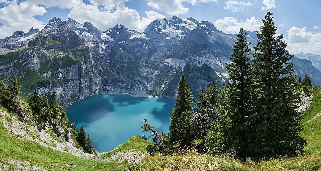
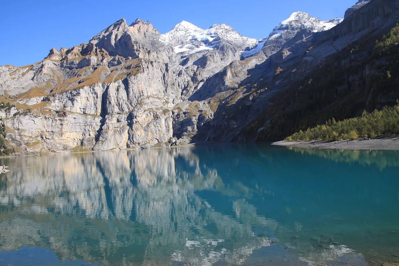
At the lake, the circuit stays close to the water and keeps the Blüemlisalp massif in view the whole way round. The basin is enclosed, so the drama comes from the walls above rather than from the path underfoot. Full detail is in the Oeschinensee hike guide.
For a bigger day, the panorama trail climbs above the shoreline for a higher line on Lake Oeschinen and the surrounding peaks. It is a better bet for fit hikers than for families with small children, and it rewards an early start before cloud builds. Route notes are on the Oeschinensee panorama trail page.
Allmenalp: the steep meadow
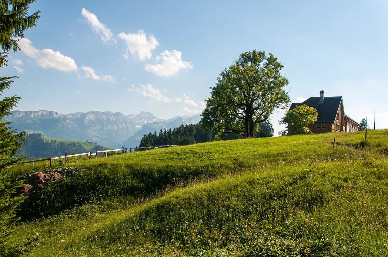
Allmenalp, reached by its own cable car from the village, is the shorter and steeper of Kandersteg's two lift-served hillsides. The meadow above the top station gives a direct view down the Kander valley and across to the Oeschinen side, and the climb between the two levels is relentless rather than technical.
Take the lift one way if your knees dislike descents or if you want the climb without the descent. Hikers training for longer routes often walk up and ride down, which keeps the effort controlled and the afternoon free.
Sunnbüel and the way toward the Gemmi
Sunnbüel opens onto high, open terrain southwest of the village, where the walking is broad and the horizon wide. Routes from here link toward the Gemmi and the Gasterntal side, so it works as a launch point for through-days rather than a single out-and-back.
The Gemmi Pass crossing is the classic objective on this side. The Gemmi Pass Hike from Kandersteg covers the line of the route and the height gained, and it is the day to pick when you want a pass rather than a summit.
Gasterntal: the valley south
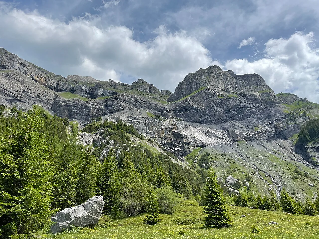
The Gasterntal runs south from Kandersteg into a narrow, glacier-fed valley, and the scout centre lists both a Gasterntal hike and a Gasterntal eco hike among its routes. The valley floor is the gentle option; the sides rise sharply and give the harder variants their character.
Because the valley is enclosed, weather changes arrive fast and afternoon cloud can sit low over the head of the valley. Start early and keep a plan for turning back at the first sign of a build-up.
Hut walks from Kandersteg
The Kandersteg International Scout Centre publishes a long list of hut walks, including the Fründenhütte, Blüemlisalphütte, Doldenhornhütte, Schwarenbach, Lämmerenhütte and Balmhornhütte. These are the objectives Kandersteg-based hikers actually use, and the leaflets give the line of approach for each.
Hut walks here mean sustained climbing on rough ground, and the descent is often the harder half. Carry a headlamp in case the day runs long, and sort out hut places before you commit to a route that depends on an overnight — check current opening dates and prices with the hut directly.
Hikers who want a multi-day circuit from the village can link huts over several days; the Kandersteg forum thread on hut-to-hut options gives a sense of how local walkers sequence them. Treat forum advice as a starting point and confirm the route line on a current map.
Longer and harder routes
The Oeschibach River Trail and Doldenhorn Hut loop is the benchmark hard day from the village: 12.9 km with 790 m (2,592 ft) of ascent and descent, about 5 hours 45 minutes on the move. It rates as hard on the SAC scale, needing sure footing, sturdy boots and alpine experience.
That much ascent in a short distance means steep ground and a descent that punishes tired legs. Go with the fitness and the weather to match, and leave a margin for the river section, which can be the slowest part of the day.
Anyone drawn to vertical ground may also look at the Kandersteg via ferrata above the village, a separate outing with its own equipment needs. It is not a substitute for a hiking day, but it suits a group that wants exposure and has the kit.
Getting to the trailheads
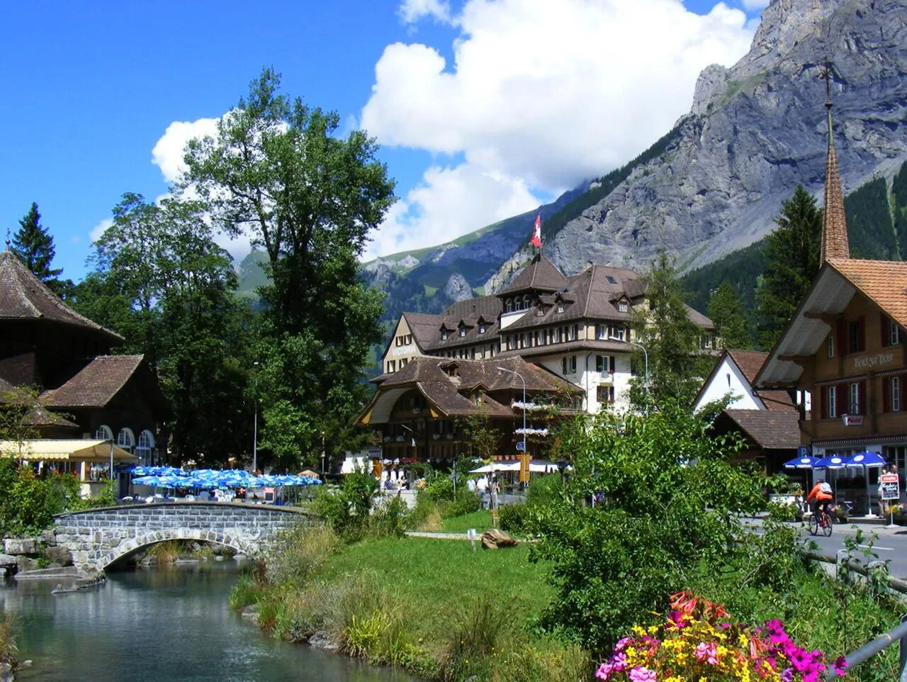
Kandersteg station sits on the Lötschberg line, and the village is compact enough that several trailheads are a short walk from the platform. Cable-car stations for Oeschinensee and Allmenalp are on the village side, so a rail-based trip needs no car at all.
For Sunnbüel and the Gasterntal, check the local bus and lift arrangements for the day you travel, since the valley transport runs on its own pattern. The station and the cable-car operators publish the current arrangements.
When to go
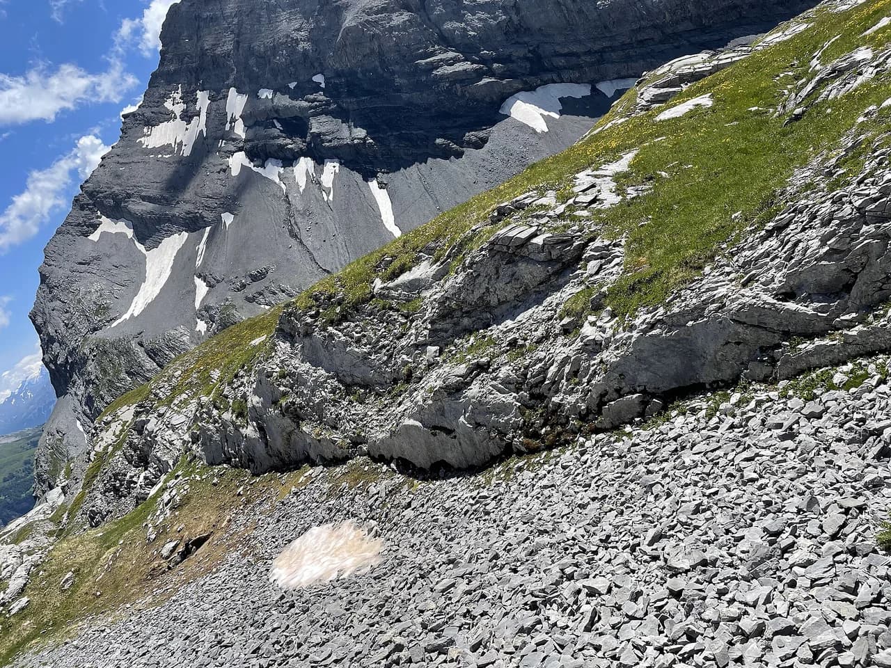
Summer is the walking season, and the high routes around Kandersteg hold snow early and late in the year. Passes and north-facing slopes can stay snowy into the start of the season, so pick valley and lake days first and save hut routes for when the ground has cleared.
Afternoon thunderstorms are the other fixed feature of the Bernese Alps in summer. Start early on exposed ground, plan to be down or in a hut by mid-afternoon, and treat a forecast of build-up as a reason to switch to the lake circuit.
Where to stay
Kandersteg village is the practical base for a lift-and-train trip, with guesthouses within walking distance of the station and both cable cars. Staying here keeps every zone in this guide within a day's reach without a car.
For quieter nights, the Gasterntal and the mountain huts give a different rhythm, and hut nights are what make the longer circuits possible. Sort out hut places before you build an itinerary around them.
Walking the trails with a dog
The Kandersteg International Scout Centre publishes downloadable leaflets covering its unguided hikes, and the list itself is a useful way to see how much ground a dog can cover with you. The routes in that collection include Allmenalp, Alpschelehubel, Balmhornhütte, Blausee, Blümisalphütte, Bunderspitz, Fründenhütte, Gällihorn, Gasterntal, Gemmipass, Gfellalphütte, Höh, Jegertosse, Lämmerenhütte, Lötschenpass as both a one-day and a two-day option, Oeschinensee, Adelboden – Our Chalet, Schwarenbach, Schwarzgrätli, Ueschinenhütte, Untertatelishorn and Üschenegrat. Being able to read the leaflet before you set out matters more than usual when a dog is coming along, because the leaflets are where the hike information lives.
The same source organises other walks separately from the standard unguided hikes, and this matters for anyone choosing a route for a dog. Under eco hikes it lists Gasterntal Eco Hike, Oeschinensee Eco Hike and Gemmipass Eco Hike, while winter hikes are gathered as Chäsmilchbrüg Tour, Kandersteg Winter Trail, Höh Snowshoe Tour, Oeschinensee Snowshoe Tour and Stock Snowshoe Tour. If a hike you want appears in one of those groups rather than in the main unguided list, look it up there.
Kandersteg village itself is the point where the walking begins, and it is catalogued as a settlement highlight with a hiking rating of 4.8 from 278 recommendations. That popularity suggests you will not be alone on the paths around the village, which is the practical detail to keep in mind with a dog on a busy day. Beyond the village, the leaflet collection gives you the full spread of destinations within reach of Kandersteg, from Blausee and Oeschinensee to the hut routes toward Balmhornhütte, Fründenhütte, Lämmerenhütte and Lötschenpass, and the two-day Lötschenpass version.
Plan Your Visit
Build a Kandersteg week around one zone per day: the lake basin for a gentle start, Allmenalp or Sunnbüel for height, the Gasterntal for valley walking and a hut route when your legs and the snow line allow. Check the Kandersteg International Scout Centre leaflets for hut approaches before you commit.
Trains and cable cars make a car unnecessary, which simplifies the planning and keeps the harder days honest. Travel in summer, start early and match the route to the fitness of the slowest member of the group.
Explore more Kandersteg hiking guides
Frequently Asked Questions
What are the best Kandersteg hikes for a first visit?
Start with the short viewpoint loop above the village for an easy leg-stretch, then ride the Oeschinensee cable car and walk down to the lake basin. A third day on the Kander Gorge loop adds distance without much climbing, so you get a lake, a viewpoint and a valley in three outings.
How do you reach Oeschinensee from Kandersteg?
A cable car runs from the village side up to the high ground east of Kandersteg, and a short walk leads from the top station down to the lake. The lift operator publishes the season, first and last ascent times and ticket prices, so confirm those for your dates before you rely on the lift for the return.
Is hiking in Kandersteg suitable for beginners?
Yes, if you choose by zone. The village viewpoint loop, the Blausee nature park and the flat valley paths need no alpine experience, while the hut routes and the Doldenhorn Hut loop demand fitness, sure footing and sturdy boots.
When is the hiking season in Kandersteg?
Summer is the reliable window, with snow lingering on high passes early and late in the year. Build the first days around the lake and valley, and move onto hut routes once the ground has cleared; afternoon storms are common, so start early on exposed ground.
Are there hut-to-hut hikes from Kandersteg?
Yes. The Kandersteg International Scout Centre leaflets list approaches to the Fründenhütte, Blüemlisalphütte, Doldenhornhütte and other huts, and walkers link several of them into multi-day circuits. Arrange places with the hut operator before you plan a route that depends on a night up high.
Sources
Trail notes for your next trip
Optional updates when we add or revise hiking guides.
You might also like
Continue reading
More guides you'll find useful