Rob Roy Way Guide: 127 km Trail from Drymen to Pitlochry
Plan the Rob Roy Way from Drymen to Pitlochry: seven stages, 127 km and 2,325 m of ascent, trailhead transport, and the tougher Glen Quaich variant.
On this page
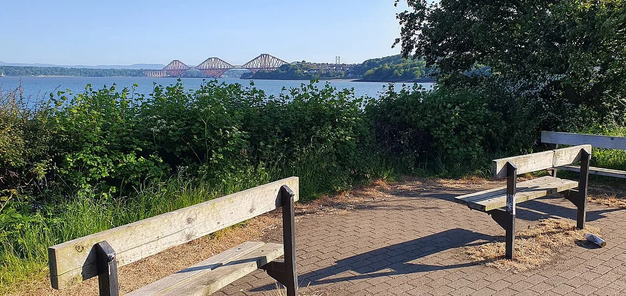
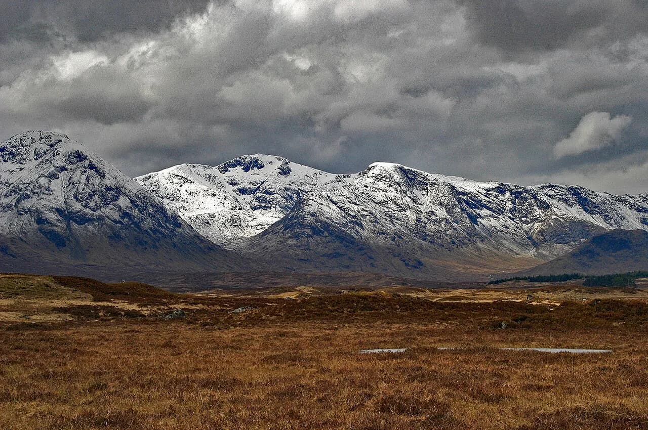
The Rob Roy Way links Drymen, near Loch Lomond, with Pitlochry in the eastern Highlands, threading the Trossachs and Perthshire past Lochs Venachar, Lubnaig, Earn and Tay on a mix of forest tracks, cycleway, disused railway and open moorland. It carries you through the country of Rob Roy MacGregor, past Victorian aqueducts and viaducts, and finishes below a stone circle in Fonab forest above Pitlochry. It suits walkers who want a week of varied, mostly low-level going with real villages and pubs at the end of each day rather than a high-mountain expedition.
This guide treats the route as a seven-day walk, because that is how the official section list divides it and how most self-guided itineraries run. Shorter days come first, the climbing arrives in the middle, and the longest stretch sits at the Loch Tay end. Read the stage notes against your own fitness before you book beds, since Strathyre and Ardtalnaig have very few.
Route overview: start, finish and direction
The route begins at Drymen, close to Loch Lomond, sharing its opening with the West Highland Way before swinging east through Aberfoyle and Callander and north to Killin, Aberfeldy and Pitlochry. It is linear, so you either arrange a return by bus and train or book a baggage service that moves your bag between stops.
Walk it north-east, from Drymen to Pitlochry, as Scotland's Great Trails recommends: that puts the prevailing wind at your back and leaves the gentler gradients and terrain for the south-west sections. It also means your hardest day, the climb past Lochan Breaclaich, comes after your legs have a few days in them. The finish in Pitlochry is served by both bus and train, which makes the return simpler than the start.
Distance, ascent and how many days to allow
The through route measures 127 km (79 miles) with 2,325 m (7,628 ft) of ascent, and walkers generally take six to eight days. Cyclists mostly complete it in three to four days, though long stretches are shared with Cycle Route 7 and therefore on tarmac. The official site puts the walking figure at 79 miles and describes the terrain as forest tracks, cycleway, disused railway trackbed and moorland footpaths.
The daily stage figures below come from a self-guided operator's itinerary and are measured along the trail itself. Add a little extra each day for the walk to and from your accommodation, which in the villages can be a kilometre or two in each direction. If you want a rest day or a shorter Loch Tay day, the roadside sections can be cut by arranging a pick-up and drop-off with your transfer driver.
Getting to Drymen and home from Pitlochry
Drymen has bus services from Glasgow, and Pitlochry is well served by both bus and train, so a one-way walk works without a car at either end. If you drive, park in Drymen for the duration and take the train south from Pitlochry back to Glasgow or Edinburgh, then a bus onward. Check Traveline Scotland for the current timetables before you fix your start date.
For the middle of the route, the C60 bus runs between Callander and Killin via Strathyre and Lochearnhead, which is useful if you split the walk into two trips or need to skip a section. There is no need to reach the trailhead by lift or cable car anywhere on this route; every stage starts and ends on a public road in a village.
Stage 1: Drymen to Aberfoyle
The opening day is a sheltered warm-up: a short stretch of minor road, then forest tracks through Loch Ard Forest and Queen Elizabeth Forest Park into Aberfoyle, with features of the Victorian water supply scheme along the way. It is 18 km (11 miles) with about 230 m (755 ft) of ascent, so it works well as a first day even with a late arrival in Drymen.
The going underfoot is good throughout, which is why operators use this as the leg-stretcher. Keep an eye on the route updates page before you set out, because the route has been changed in recent years and older maps may no longer match the ground.
Stage 2: Aberfoyle to Callander
From Aberfoyle the trail climbs over the Menteith Hills, passes a lochan, then drops through forest and open moorland to the shore of Loch Venachar before a short road section and a last rise through Coihallan Wood into Callander. The day is 16 km (10 miles) with roughly 250 m (820 ft) of ascent, and the descent to the loch is the reward.
Callander is the largest settlement on the route and the easiest place to resupply or take a rest day, with the Falls of Leny just north of the village as a short side trip. Because it sits at the junction of the route and the C60 bus, it also makes a sensible place to break a week into two halves.
Stage 3: Callander to Strathyre
This is the gentlest day of the route: cross the river at Callander, walk north through the Pass of Leny to the shore of Loch Lubnaig, and follow a well-built cycle track the length of the loch to Strathyre. It covers 15 km (9 miles) with only about 155 m (509 ft) of ascent, which makes it a good day to slow down and enjoy the water.
Strathyre is one of the two thin accommodation spots on the route, so book your bed here before anything else in the itinerary. Give yourself the full day rather than combining it with the next stage, which is longer and climbs more.
Stage 4: Strathyre to Killin
The day starts with a climb into the forest above Strathyre for views across the glen, drops to Lochearnhead, then climbs again to join a disused railway into Glen Ogle and follows it north toward Killin. Distance is 22 km (14 miles) with about 340 m (1,115 ft) of ascent, and the Glen Ogle viaduct is the landmark of the middle hours.
Arrive in Killin in time to see the Falls of Dochart at the west end of the village, one of the highlights of the whole route. Killin has the best range of accommodation and shops since Callander, so fill your food bag here for the next two days.
Stage 5: Killin to Ardtalnaig
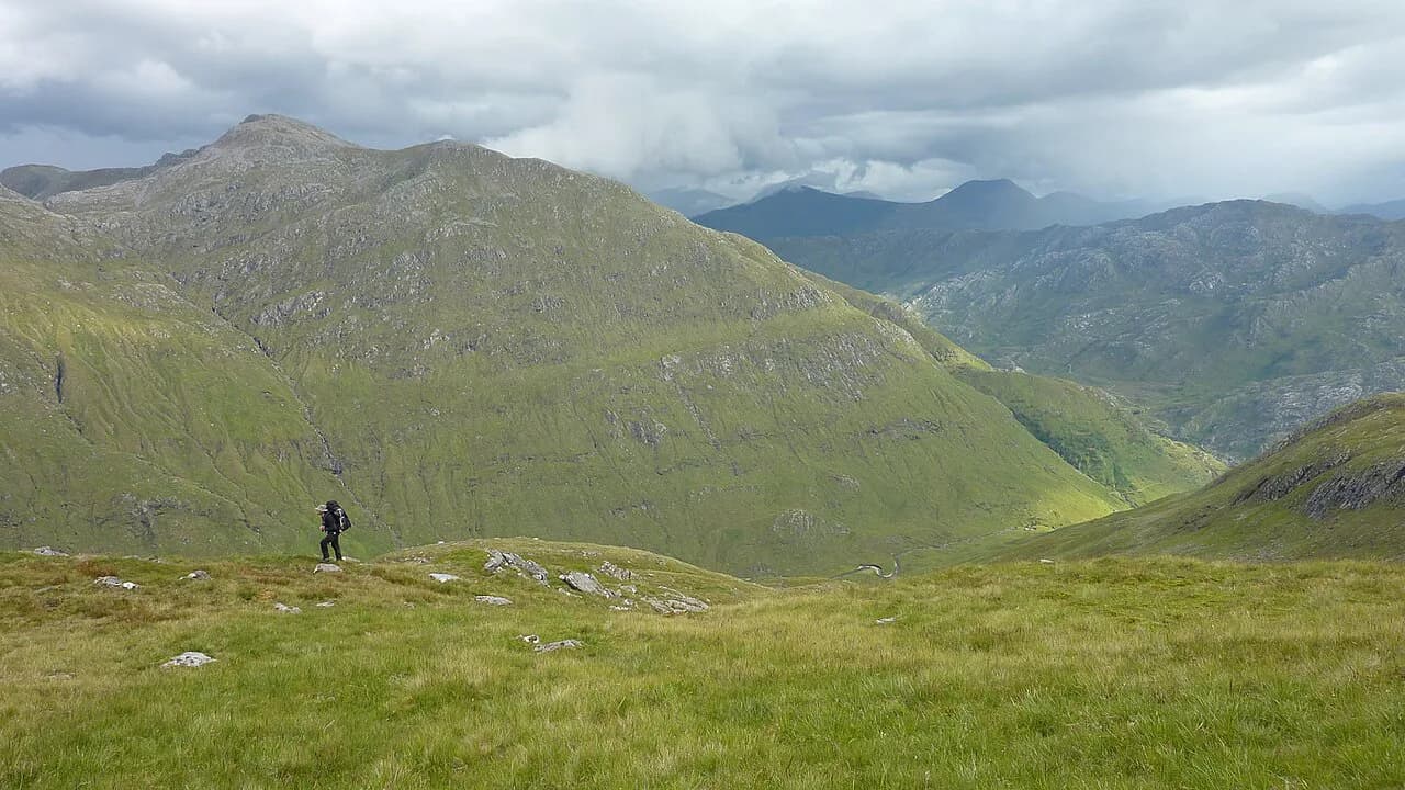
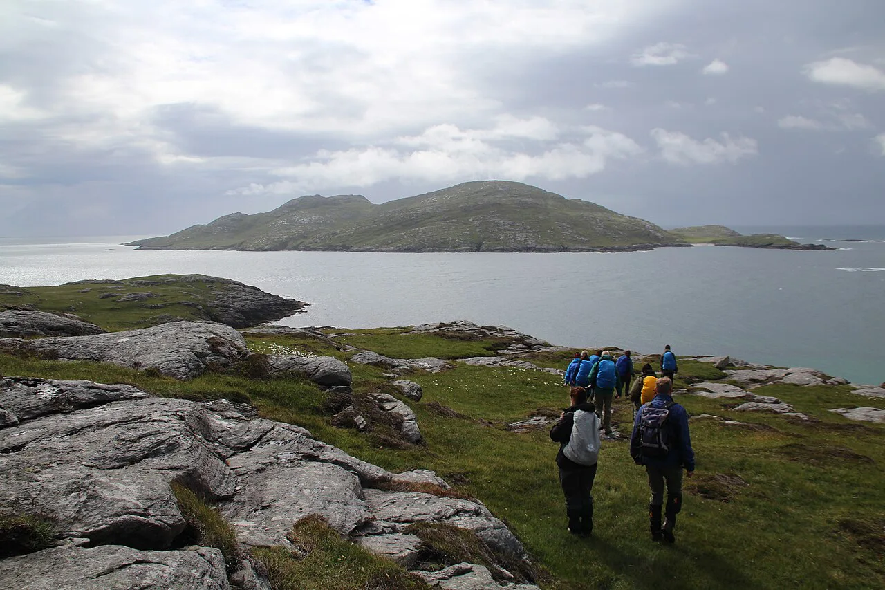
This is the hardest day on the route. A long steady climb out of Killin leads to high ground past Lochan Breaclaich, where the official route notes some exposure, before a long descent to Ardeonaig on Loch Tay and about 6 km of quiet back road to Ardtalnaig. The total is 19 km (12 miles) with 520 m (1,706 ft) of ascent.
Treat the exposed stretch seriously in wind and rain: the path is high, open and unshielded, so carry a full shell rather than relying on the shelter of the forests you have walked through so far. Ardtalnaig itself has very few beds, and many itineraries arrange a taxi back to Killin for a second night and a transfer out the next morning.
Stage 6: Ardtalnaig to Aberfeldy
After roughly 5 miles of minor road along Loch Tay, the route climbs at Acharn past the Falls of Acharn and follows the Queen's Drive and forest tracks along a ridge between two gorges, finishing at the Birks of Aberfeldy. It is 24 km (15 miles) with about 500 m (1,640 ft) of ascent, the longest single day of the seven.
Be honest about the road walking here: Scotland's Great Trails flags a long stretch of road between Ardeonaig and Acharn at 7.5 miles (12 km), which is the part most people notice when they describe the route as a hill trail. If your knees dislike tarmac, that is the section to shorten with a transfer.
Stage 7: Aberfeldy to Pitlochry
The final day begins easily along the River Tay, crosses the bridge above the rapids at Grandtully, then climbs steadily over moorland and into Fonab Forest, where a stone circle sits beside the descent to Pitlochry. Expect 15 km (9 miles) and about 320 m (1,050 ft) of ascent, with a careful crossing of the A9 road before the iron footbridge over the River Tummel brings you into town.
The trail ends on Pitlochry's main street at a small memorial garden, a short walk from the town's guesthouses, restaurants and railway station. Book a bed for the night rather than planning a same-evening departure; the train south to Glasgow or Edinburgh is a comfortable way to finish.
The Glen Quaich wilderness extension
An optional alternative leaves Loch Tay at Ardtalnaig and rejoins the line above Aberfeldy by way of Glen Almond and Glen Quaich, adding 27 km (17 miles) to the overall distance. It is more than double the length of the standard Ardtalnaig to Aberfeldy stage and the official site calls it a wilderness experience with some logistic challenges.
The accommodation gap is the real obstacle: there is nothing on the extension itself, and the nearest option is The Farmhouse at Corrymuckloch, about 1.4 miles south of the route on the A822. The hotel at Amulree has been closed for some years. Only take the variant on if you are happy walking a long, lonely day and have your pick-up arranged in advance.
Where to stay and hut and B&B basics
There are no mountain bothies or booked huts on this route; the nights are in village B&Bs, hotels, guesthouses and self-catering, with camping pods available in some places. That makes it a different proposition from hut-to-hut alpine routes, and it means your itinerary is set by bed availability rather than by a single booking system. Book Strathyre and Ardtalnaig first, then fill in the well-served stops such as Callander, Killin, Aberfeldy and Pitlochry around them.
Wild camping is legal in Scotland when practised responsibly under the Scottish Outdoor Access Code, which gives you a fallback if beds in the thin spots are gone. It does not solve the transport problem on the Glen Quaich variant, and camping near villages still follows the Access Code's guidance on leaving no trace and staying out of enclosed ground.
Baggage transfer and self-guided operators
Several walking companies package the Rob Roy Way as a self-guided trip with accommodation booked, bags moved between stops and an itinerary built around the standard seven stages. Wilderness Scotland's version runs nine days and eight nights, with a pre-arranged taxi on the Killin to Ardtalnaig day and a short transfer back to Ardtalnaig the following morning, which shows how the thin sections are handled in practice. Packages like this suit walkers who want the logistics solved; independent walkers can book the same beds directly and use a standalone baggage transfer company.
If you go it alone, Kingshouse Travel provides baggage transfer, and Scotland's Great Trails lists the operators running supported trips. Book bags and beds together, because a transfer only helps if your overnight stops are spaced to match the daily distances you actually plan to walk.
Terrain, waymarking and navigation
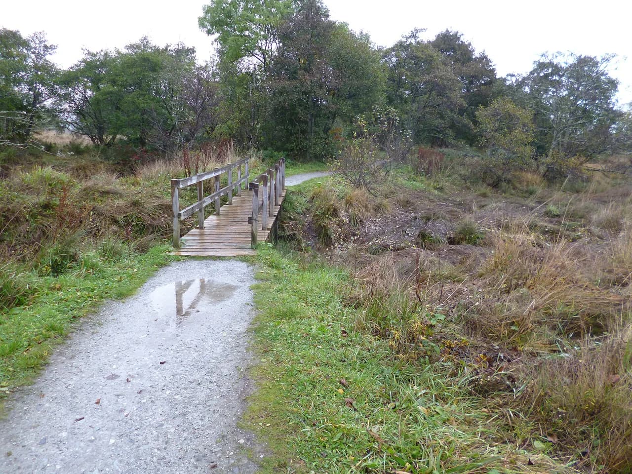
Much of the route is straightforward underfoot, but beyond Killin the terrain becomes more varied and the path on open hillside is not always clearly defined even where it is waymarked. The route is maintained by volunteers, so waymarks can be missing and recent route changes may not appear on older maps. You are responsible for your own navigation: carry a dedicated map or the guidebook, and if you use a GPX file make sure it reflects the current route.
The exposed climb past Lochan Breaclaich and the open moorland above Aberfeldy are where navigational care matters most in poor visibility. In a whiteout on those sections, a bearing and a paper map are more reliable than following a faint trod through heather.
When to go and what the weather does
Scottish weather decides the character of this walk more than any other factor: the low-level stages are pleasant in most conditions, but the high ground past Lochan Breaclaich and the Ardtalnaig ridge can be grim in wind and rain at any time of year. Long summer days let you spread the walking out and still arrive before dark, which matters on the 24 km Ardtalnaig to Aberfeldy day.
Plan around the daylight you need for your longest day, and keep a spare day in the itinerary for a washout that forces you to shorten or skip a section. The road and cycleway sections drain well, but the moorland paths hold water after sustained rain, so waterproof boots are worth the weight.
Rob Roy Way or West Highland Way
The West Highland Way starts in the same corner of Scotland and is the busier, more mountainous option, with a reputation built on Highland glens and a finish at Fort William. The Rob Roy Way is quieter, lower and more varied in surface, with villages every evening and a stronger historical thread through the Trossachs. Choose the Rob Roy Way if you want a first long-distance walk without sustained high passes; choose the West Highland Way if big mountain scenery is the point of the trip.
Both routes can be linked: the Rob Roy Way shares its opening from Drymen with the West Highland Way, and the Great Trossachs Path connects the Trossachs sections to the wider network. Walkers who want to add summit days can base themselves in Killin or Callander and go up a Munro on a rest day rather than carrying the weight on the through route. If you are comparing low-level week-long routes beyond Scotland, our hiking in the Lake District guide covers a similar choice of valley and ridge days.
Rob Roy Way by bike
Nearly all of the route is potentially suitable for cyclists, who mostly complete it in three to four days, and the long cycleway stretches along Loch Lubnaig and through Glen Ogle make for fast, smooth riding. The day past Lochan Breaclaich is the one to think about: the descent has exposure, and the rough, high ground is a different ride from the railway trackbed.
Riders should start from the cycling-specific information rather than the walking stage notes, because surfaces and distances feel different in the saddle. Book accommodation with bike storage early at Strathyre and Ardtalnaig, the two places where beds are scarce.
Plan Your Visit
The Rob Roy Way is the best first long-distance walk in Scotland for many hikers: seven manageable stages, beds and pubs in villages each night, and a real sense of journey from the Trossachs to Highland Perthshire. Fix your direction as Drymen to Pitlochry, book Strathyre and Ardtalnaig first, and build your daily plan around the 24 km Loch Tay day rather than the easy opening stages.
Once the Rob Roy Way is booked, use the Scotland hiking guides on this site to add summit days, coastal walks or a West Highland Way section to the same trip. If you have walked the route and have a stage tip worth sharing, get in touch.
Frequently Asked Questions
Is the Rob Roy Way worth it?
For a first multi-day walk in Scotland it is hard to beat: 127 km from Drymen to Pitlochry with villages every night, a mix of forest, cycleway and open hill, and lochs at regular intervals. It is less dramatic than the West Highland Way, so choose it for variety and easier logistics rather than big mountain days.
How long does it take to walk the Rob Roy Way?
Most walkers allow six to eight days, and the standard split is seven stages: 18, 16, 15, 22, 19, 24 and 15 km. Cyclists usually take three to four days. Add a little distance each day for the walk to and from your accommodation.
Which direction should you walk the Rob Roy Way?
Walk north-east from Drymen to Pitlochry. Scotland's Great Trails recommends that direction because it puts the prevailing wind at your back and keeps the gentler gradients and terrain for the opening sections, with Pitlochry's bus and rail links at the finish.
Can the Rob Roy Way be cycled?
Yes. Nearly all of the route is potentially suitable for bikes, and riders mostly complete it in three to four days. Long stretches follow Cycle Route 7 on tarmac, while the high ground past Lochan Breaclaich is rough and exposed and needs care on a loaded bike.
Is the Rob Roy Way waymarked?
It is waymarked, but beyond Killin on open hillside the path is not always clearly defined. The route is maintained by volunteers and has seen changes in recent years, so carry a dedicated map or guidebook and use a GPX file that reflects the current line.
Where does the Rob Roy Way start and finish?
It starts at Drymen, close to Loch Lomond, and finishes on the main street of Pitlochry in Perthshire. Drymen is served by buses from Glasgow, and Pitlochry has both bus and rail connections, so a one-way walk is straightforward.
How hard is the Rob Roy Way compared with the West Highland Way?
The Rob Roy Way is lower, quieter and more varied underfoot, which makes it a gentler introduction to long-distance walking. The West Highland Way has the bigger mountain scenery and the busier trail. The hardest day on the Rob Roy Way is the climb past Lochan Breaclaich, which has some exposure.
Can you wild camp on the Rob Roy Way?
Wild camping is legal in Scotland when practised responsibly under the Scottish Outdoor Access Code. It is a useful fallback at Strathyre and Ardtalnaig, where beds are limited, but it does not solve the lack of accommodation on the Glen Quaich extension.
Sources
Trail notes for your next trip
Optional updates when we add or revise hiking guides.
You might also like
Continue reading
More guides you'll find useful