Munros: Scotland's 3,000-Foot Mountains and How to Start
A Munro is a Scottish mountain over 3,000 feet. Learn how the list works, which Munros suit beginners, and how to reach them by bus and train.
On this page
Scotland's Munros give you a reason to keep returning: high, exposed summits that range from gentle grassy tops within reach of a city to the biggest mountain in the British Isles. The appeal is as much the project as the individual walk, since every climb adds a name to a personal list that many hikers spend decades working through. Whatever your fitness, there is a Munro that fits a spare day between other plans on a wider scotland hiking trip.
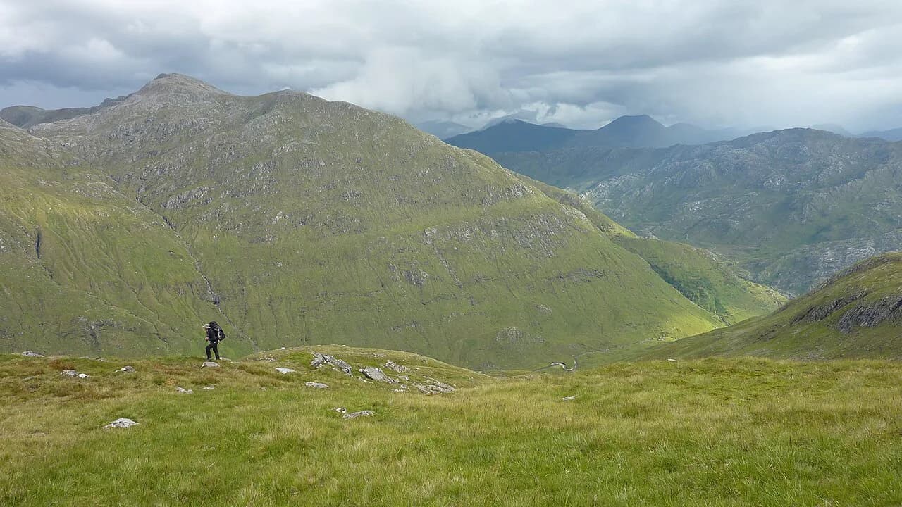
These are not waymarked valley paths. Most Munro days involve several hours of walking, steep ground and weather that shifts quickly, so treat each one as a full mountain outing and plan an alternative in case conditions turn. The peaks described here spread from the Loch Lomond area to the Cairngorms and the Highlands, and several sit close enough to a railway station that you can leave the car at home.
What a Munro is
A Munro is a Scottish mountain whose summit rises above 3,000 feet (914 m) and which appears on the official list kept by the Scottish Mountaineering Club. Sir Hugh Munro surveyed and catalogued the original set of peaks in 1891, and the catalogue has been revised since as survey methods improved. Scotland holds 282 Munros, according to VisitScotland's guide to Munro bagging, and that list is the reference point rather than any height reading on your own map.
The threshold is what separates a Munro from the many lower Scottish hills, so height alone does not make a summit count; it has to be on the club's list. If you are working towards a personal tally, use the club's published list as your record rather than a general hill database, because the two do not always agree.
Munro bagging and how the list works
Munro bagging is the Scottish pastime of climbing as many of the 282 peaks as possible, and people who finish the whole list are known as compleatists or Munroists. More than 6,000 walkers have completed all of them so far.
Most baggers work region by region, linking several summits on one ridge day and saving single outings for peaks that stand alone. Keep a simple log of date, route and conditions; it makes repeat visits and winter attempts easier to judge, and it stops a hill you have already climbed from being counted twice.
Beginner-friendly Munros: Ben Lomond, Schiehallion and Mount Keen
Ben Lomond is the usual first Munro for walkers based in the Central Belt: the path is well defined and the mountain is easy to reach, which matters on a short trip. Ben Lomond also sits above Loch Lomond, so the climb fits neatly into a wider itinerary along the loch.
Schiehallion gives a straightforward route with panoramic mountain views, and Mount Keen is a longer walk rewarded by 360-degree views across the Cairngorms and the Angus Glens. The trade-off is simple: Schiehallion suits a shorter day, while Mount Keen asks for more time on your feet before the view opens up. VisitScotland groups all three among the beginner-friendly Munros.
Being beginner-friendly does not mean short or sheltered. All three reach exposed summit ground where wind and rain arrive fast, so carry waterproofs and warm layers even on a bright morning, and turn back if the cloud drops and your navigation is shaky.
Famous climbs: Ben Nevis, Ben Lawers and Buachaille Etive Beag
Ben Nevis is the highest mountain in the British Isles and the best-known objective in the Highlands. It is a long, serious ascent rather than a stroll, so give it a full day and choose a settled forecast. If you want the mountain as part of a longer route, the west highland way finishes at Fort William, the town below the mountain, which makes a natural base.
Ben Lawers offers well-marked scenic trails through a national nature reserve and wide views over Loch Tay. Buachaille Etive Beag gives two Munros in a single outing and dramatic views of Glen Coe, including a close vantage on its larger neighbour, Buachaille Etive Mòr. Pick Buachaille Etive Beag if you want ridge atmosphere without committing to the biggest day in the area. If you are weighing up other routes nearby, the Glencoe hiking guide covers the surrounding trails in more detail.
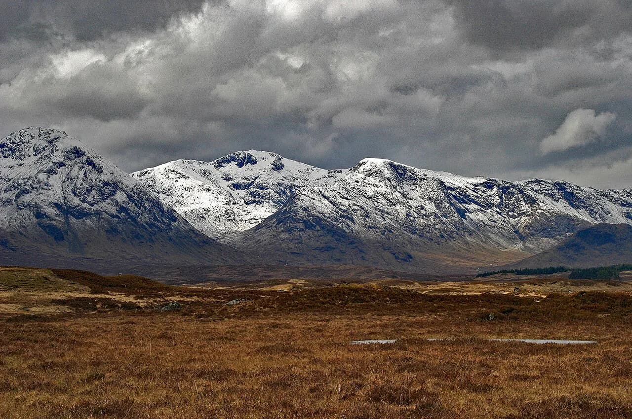
The Glen Coe ridges are exposed in wind and hold snow well into spring on their higher sections, so check conditions on the day and carry an ice axe and crampons if any snow or ice remains underfoot.
Hidden gems: Driesh and Mayar, Beinn Mheadhoin and Meall nan Tarmachan
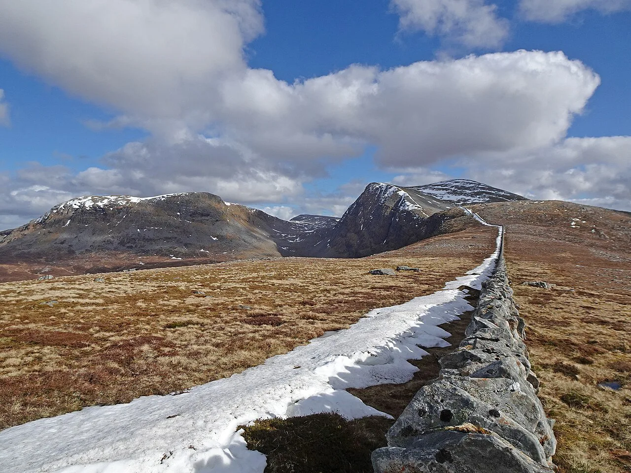
Driesh and Mayar make an accessible day out through Corrie Fee National Nature Reserve, with the glen scenery as much of the reward as the summits. Beinn Mheadhoin has a summit scattered with granite tors that looks almost like another landscape.
Meall nan Tarmachan is quick to summit, but it is best enjoyed by continuing along the airy Tarmachan Ridge, where the ground narrows and the drop on either side becomes real. Go prepared for exposed walking on that ridge section, or settle for the summit and return the same way if the wind is strong.
Munros reachable by public transport
The Arrochar Alps, including Beinn Narnain, Beinn Ime, Ben Vane and Ben Vorlich, sit on the west side of Loch Lomond and lie on CityLink and Ember bus routes between Glasgow and Fort William. That makes them a practical choice if you are travelling without a car and want a full hill day from the city.
The West Highland Line opens up more of the Highlands: Beinn a' Chleibh is reached by alighting at Tyndrum, and Beinn Dòrain and Beinn an Dòthaidh stand next to Bridge of Orchy station, which also has CityLink services and a hotel. Càrn na Caim and A' Bhuidheanach Bheag have good access from Dalwhinnie, a village with both bus and train connections.
Rail and coach access works best when the walk returns to the same station, so plan a there-and-back route or arrange a pickup before you rely on a one-way traverse. Timetables change with the season, and ScotRail and CityLink publish the timetables for their own services, so those are the reliable source for departure times.
Fitness, navigation and kit for a Munro day
Most Munros ask for a good level of fitness, basic navigation skills and experience of walking in changeable mountain conditions, and routes can be long, steep and remote. Confident beginners can manage some of them, especially on shorter routes with well-trodden paths and a clear weather window.
Carry waterproofs, warm layers, sturdy boots, enough food and water, and reliable navigation tools such as a map and compass. A headtorch, first aid kit and emergency shelter are recommended even in summer, because a slow day or a wrong turn can put you on the hill later than planned.
If you walk alone, tell someone your planned route and expected return time, stay on known paths and be ready to turn back when conditions worsen. Phone signal is unreliable on many summits, so don't rely on your phone as your only navigation tool.
Hazards and winter conditions on Scottish summits
Cold, wind and poor visibility are common on Munro summits even in summer, and conditions can change very quickly, so build in spare time and be flexible about your objective. Afternoon weather often builds while you are still high on the hill, which is a reason to start early rather than a reason to skip the forecast.
Winter ascents are a separate decision. Snow, ice and avalanche risk make the same routes much more dangerous, and you need specialist knowledge plus equipment such as crampons and an ice axe; winter skills training or a guided day is strongly advised for anyone new to it.
In an emergency, dial 999 or 112 and ask for police, then mountain rescue. Give your location from a map and compass fix rather than a vague description, and keep the group together and warm while you wait.
When to go
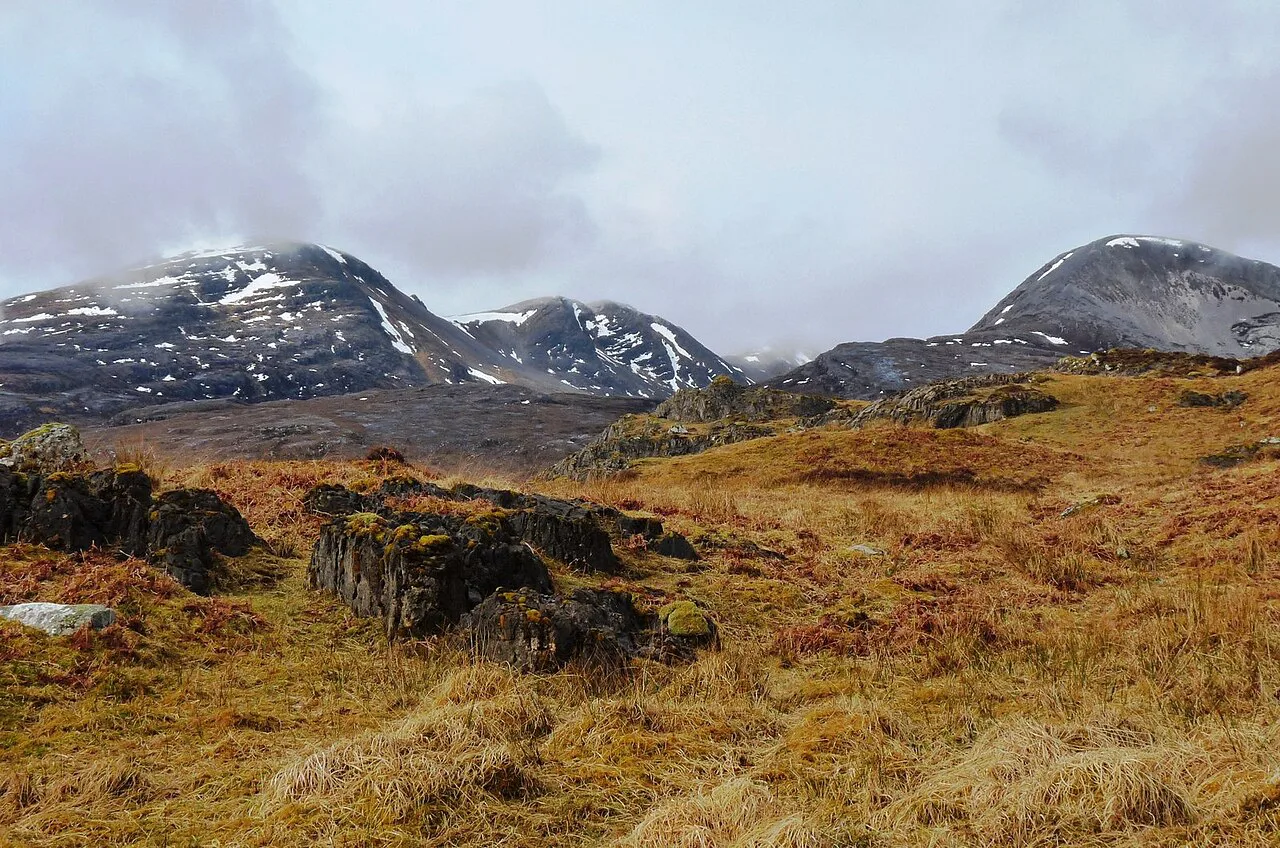
Munros can be climbed year-round, but late spring to early autumn is the most popular window because daylight lasts longer and the odds of a settled day improve. Long summer evenings also let you start later or recover time if the weather delays your plan.
Spring can still leave snow and ice on higher ground, and autumn shortens the daylight quickly, so match your route to the hours you actually have rather than to a summer guidebook. Ben Nevis and the Glen Coe peaks are the wrong place to discover that daylight is running out.
Planning and booking
Build each Munro day around three things: a paper map and compass with a route you can follow in cloud, a weather forecast you check on the morning, and a realistic finish time that leaves a margin before dark. Buy the relevant map and guidebook before you travel, since village shops near the quieter trailheads may not stock them.
For transport, book train and coach tickets directly with ScotRail or CityLink rather than a resale site, and check the return service before setting off, as rural timetables thin out in the evening. For accommodation, base yourself near a cluster of peaks such as Glen Coe, Loch Tay or the Cairngorms, so you spend more of each day on the hill and less on the road.
Start With One Munro
Choose your first Munro by access and fitness rather than by fame: Ben Lomond or Schiehallion for an achievable introduction, the Arrochar Alps or Bridge of Orchy peaks if you are travelling by train. Leave Ben Nevis and the Glen Coe ridges for a day when the forecast, your legs and your daylight all line up.
After that, the list does the planning for you. Record each summit, note how the conditions shaped the day, and pick the next one to match the season, whether that is a long June evening or a still, cold winter morning with the right gear.
Frequently Asked Questions
What is the difference between a mountain and a Munro?
A Munro is a Scottish mountain above 3,000 feet (914 m) that appears on the Scottish Mountaineering Club's official list. Many Scottish mountains exceed that height but are not Munros if they fail the list's criteria, so the catalogue rather than height alone decides.
How many Munros are there in Scotland?
Scotland has 282 Munros, the figure given by VisitScotland. The list has been revised over time as surveys improved, which is why baggers keep the club's official list as their record rather than relying on older guidebooks.
How hard is it to climb a Munro?
Most require good fitness, basic navigation skills and experience in changeable mountain conditions, and routes can be long, steep and remote. Some are within reach of confident beginners on shorter, well-trodden paths in clear weather.
Do I need experience to climb a Munro?
Not for every one, but most ask for hill fitness and the ability to navigate with a map and compass when cloud covers the summit. Start with shorter routes on well-trodden paths in a good weather window and build up from there.
Can Munros be climbed in winter?
Yes, but winter ascents need specialist knowledge and equipment such as crampons and an ice axe, and snow, ice and avalanche risk make routes much more dangerous. Training or a guided day is strongly advised before your first winter Munro.
When is the best time to climb a Munro?
Late spring to early autumn is the most popular window because daylight is long, though cold, wind and poor visibility remain possible at any time of year. Winter is viable with the right skills and gear.
Which Munros can I reach by public transport?
The Arrochar Alps lie on CityLink and Ember bus routes between Glasgow and Fort William, while Beinn a' Chleibh (Tyndrum), Beinn Dòrain and Beinn an Dòthaidh (Bridge of Orchy) and Càrn na Kaim with A' Bhuidheanach Bheag (Dalwhinnie) are served by rail or bus. Check current timetables for departure times.
Sources
Trail notes for your next trip
Optional updates when we add or revise hiking guides.
You might also like
Continue reading
More guides you'll find useful