West Highland Way: Route, Distance and Stage Planning
Plan the West Highland Way from Milngavie to Fort William: 154 km (96 miles) of stages, terrain, overnight stops, season, luggage transfer and travel to the start.
On this page
The West Highland Way is Scotland's best-loved long-distance path, a 154 km (96 miles) walk from Milngavie, just north of Glasgow, to Fort William beneath Ben Nevis. It suits hikers who want a week or so of continuous walking with villages, trains and buses never far away, and who are happy to trade a little wilderness polish for genuinely varied ground.
The route earns its reputation through contrast: a gentle start through country parks, a rough and slow stretch on the Loch Lomond shore, fast glen tracks past Tyndrum and Bridge of Orchy, the open crossing of Rannoch Moor, and a final climb over the Devil's Staircase into Kinlochleven. Plan your days around that terrain rather than around equal distances, and the walk becomes far more enjoyable.
What the West Highland Way is and who it suits
This is a waymarked, linear trail rather than a mountain route, but it is not a stroll. The official route runs 154 km (96 miles) from Milngavie to Fort William, and the walking days are long enough that most hikers need a reasonable base of fitness before they start. If you already walk full days in hills at home, you will cope; if not, build up with consecutive day walks carrying a pack.
Confident beginners can complete the Way, especially with a baggage transfer service, because the path is generally clear and passes through or near settlements every day. The demands are cumulative: repeated eight-hour days on rough ground, changeable Highland weather and one genuinely exposed moorland crossing matter more than any single steep pitch.
If you want summits as well as the trail, the Way passes close to several Munros, the Scottish mountains over 914 m (3,000 ft). Our guide to the Munros: Scotland's 3,000-Foot Mountains and How to Start explains how the list works and which hills suit a first ascent on a rest day.
Milngavie to Fort William: the shape of the route
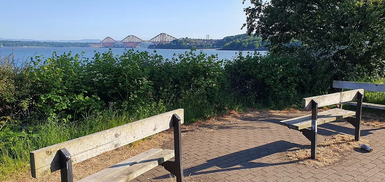
The Way begins in Milngavie, a suburban town with a railway station, and heads north through country parks and farmland to Drymen, then along the eastern shore of Loch Lomond to Balmaha and Inversnaid. From the head of the loch it climbs away to Crianlarich and Tyndrum, crosses to Bridge of Orchy, traverses Rannoch Moor to Kingshouse in Glencoe, and finishes over the Devil's Staircase and down to Kinlochleven and Fort William.
Think of it in three characters: the soft southern approach, the technically awkward but low-level Loch Lomond shore, and the high, open northern half where the weather and the moor set the pace. The northern section looks tougher on paper, but many walkers find the loch shore the slowest going of the whole trip.
Getting to Milngavie and back from Fort William
Milngavie has its own rail station on the Glasgow suburban network, so you can arrive from Glasgow city center and walk straight from the platform to the trail start. Fort William, at the other end, sits on the West Highland Line with direct trains to Glasgow, and it is also served by long-distance coaches; book the return leg before you leave so the final day has a fixed target.
The same rail and coach corridors that serve Fort William also open up the middle of the route. Stations and stops at places such as Bridge of Orchy and Tyndrum let you join or leave the Way if you want a shorter trip or need to skip a section, so a route built around public transport is realistic without a car.
Fort William also works as a base for the Great Glen Way, which runs from the town to Inverness, and the VisitScotland listing for the Great Glen Way describes it as a separate long-distance trail passing the foot of Ben Nevis. Use it as an extension only if you have extra days, not as part of the West Highland Way itself.
How many days: typical stage plans and distances
Most hikers spread the 154 km over seven or eight walking days, which keeps daily distances moderate and leaves time for the rough Loch Lomond shore. A five-day version is possible for fast, fit walkers with light packs, but it turns the loch section and Rannoch Moor into long, pressured days with little margin for weather.
The natural overnight stops are Milngavie or Drymen, Balmaha, Inversnaid or Inverarnan, Crianlarich or Tyndrum, Bridge of Orchy, Kingshouse, Kinlochleven and Fort William. Choosing which of these you use is the real planning decision: the gaps between Inversnaid, Crianlarich and Tyndrum are where days can become unbalanced if you fix accommodation first and distances second.
Route description: Milngavie to Balmaha
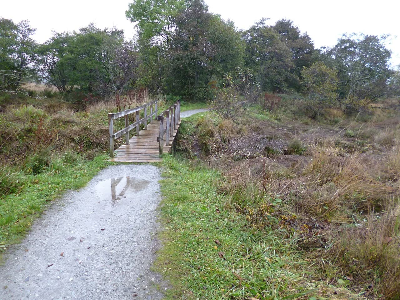
The opening day from Milngavie is the gentlest of the trip, following old railway lines, park paths and country lanes past Drymen before the ground begins to rise toward the loch. It is a good day to find your rhythm, check your boots and pack, and test how your daily distance feels before the shore section begins.
Balmaha, on the eastern shore of Loch Lomond, is a natural first or second overnight stop with a small cluster of accommodation and a shop. From here the Way turns north along the shore, and the character of the walking changes sharply.
Route description: Loch Lomond shore to Crianlarich
The Loch Lomond section is the slowest part of the Way. The path twists over roots and rocks, with short steep pulls and drops close to the water, so a modest distance can take much longer than the same distance on a glen track. Treat this stretch as the place to build in extra time rather than the place to make up miles.
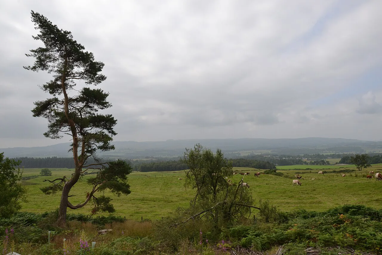
Inversnaid and Inverarnan are the key points along the shore, and the Way leaves the loch near Inverarnan before climbing inland toward Crianlarich. After the shore, the walking becomes smoother and more open, and the sense of leaving the crowded south behind is one of the pleasures of the route.
Route description: Crianlarich to Bridge of Orchy
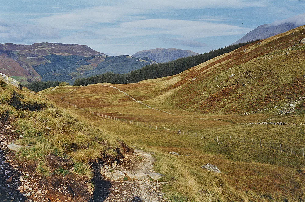
North of Crianlarich the Way follows forest tracks and open ground toward Tyndrum, then continues to Bridge of Orchy beneath steep-sided hills. These are the fastest miles on the route: gradients are gentle, the surface is good, and you can settle into a steady pace and cover ground comfortably.
Tyndrum and Bridge of Orchy both sit on the rail and coach corridor, which makes them useful flex points. If weather or injury forces a change of plan, these are the places where you can most easily reorganize without abandoning the trip.
Route description: Rannoch Moor to Glencoe
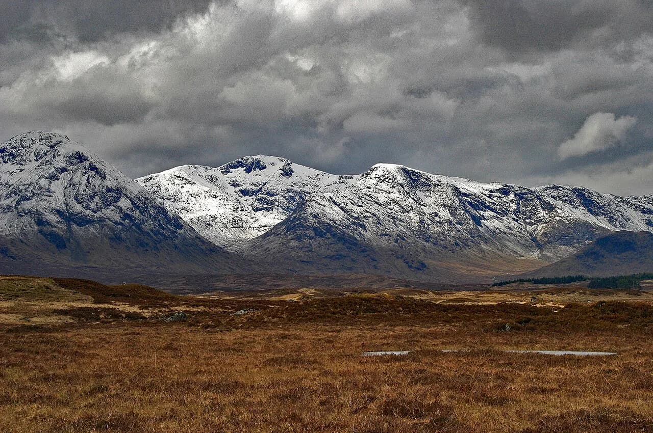
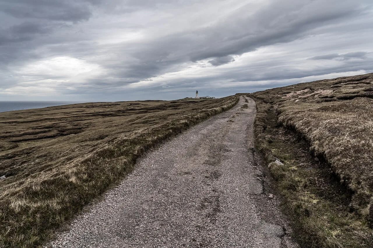
The crossing of Rannoch Moor is the signature day of the West Highland Way and the one that deserves the most respect. The path runs across open, exposed moorland with little shelter and few features, so wind, rain and poor visibility change the day far more than the gradient does. Go in a settled forecast, carry full waterproofs and a map and compass, and be ready to turn back or shorten the day.
From the moor the route descends to Kingshouse in Glencoe, where the mountains close in around you. That arrival, with the moor behind you and the glen ahead, is why many hikers rate this the finest section of the Way. If you want to linger and add a day or two of day walks here, our guide to hiking in Glencoe covers the trails and difficulty.
Route description: Glencoe to Kinlochleven
From Kingshouse the Way climbs over the Devil's Staircase, a steady zigzag ascent onto high ground before a long descent to Kinlochleven. The climb is not technically difficult, but it is exposed to wind and rain, and the descent is hard on the knees after a long day; walking poles earn their place here.
Kinlochleven marks the end of the high section and sits close to the water, with accommodation and services before the final day. It is the last substantial stop before Fort William, so resupply and rest here rather than saving it for the finish.
Route description: Kinlochleven to Fort William
The last day follows an old military road through the glen before joining forest tracks that lead down toward Fort William. It is a long but straightforward finish, with views toward Ben Nevis in the final miles if the cloud allows, and it ends in a town with trains, buses and beds rather than at a remote roadhead.
Many hikers add an extra day in Fort William to climb Ben Nevis, the highest mountain in the British Isles. That is a separate, much harder proposition than the Way, so plan it for fresh legs and give it its own weather window.
Where to sleep: villages, inns and campsites along the route
Accommodation along the Way is village-based rather than hut-based: small hotels, guesthouses, bunkhouses and campsites in places like Drymen, Balmaha, Inversnaid, Crianlarich, Tyndrum, Bridge of Orchy, Kinlochleven and Fort William. Because each village has a limited number of beds, the sequence of overnight stops constrains your whole itinerary more than daily distance does.
The practical approach is to book the middle of the route first, especially the loch shore and Rannoch Moor nights, then fill in the ends. If your preferred stop is full, adjust the neighbouring day rather than adding a huge leg, and accept that some stages will be shorter or longer than the ideal.
Luggage transfer and self-guided walking holidays
Carrying your own pack is the simplest option, but self-guided tour operators run the Way with accommodation bookings, daily luggage transfers and route support included. VisitScotland lists the Great Glen Way as a comparable self-guided trip with daily luggage transfers and a navigation app, which shows the format these operators offer; the same model is what you shop for on the West Highland Way.
A luggage transfer turns the Way into a series of day walks with a small daypack, which suits hikers who want to cover the distance comfortably or who are new to multi-day walking. The trade-off is cost and less flexibility: you commit to fixed stops and dates, so weigh that against the freedom of carrying everything. Ask each operator exactly which stages, transfers and support are included before booking.
When to go: season, midges and weather
Late spring to early autumn gives the longest days and the most reliable conditions for a week of walking. VisitScotland notes that even in summer, cold, wind and poor visibility are common at higher elevations in the Scottish hills, and the Rannoch Moor crossing and the Devil's Staircase feel every bit of that. Pack for wet weather and wind whatever month you choose.
Midges are a real feature of the west Highland summer, especially on still, damp evenings near water and woodland; a head net and repellent make the difference at campsites and in the loch shore section. Spring and autumn bring fewer insects but shorter days, so plan shorter stages or start earlier.
Terrain, exposure and the Loch Lomond shoreline
The two sections that change a plan are the Loch Lomond shore, with its rough, rooty, up-and-down path, and the high ground over Rannoch Moor and the Devil's Staircase, where exposure to wind and rain is the main hazard. On the shore, accept a slower pace; on the moor and the climb, check the mountain weather forecast and be ready to wait a day or take a lower option.
Navigation is straightforward on most of the Way, but the moor and the high sections deserve a map and compass even in summer. If you plan to add a Munro or a Ben Nevis day, treat it as a separate mountain outing with its own kit and forecast.
What it costs: accommodation, baggage and food budget
Costs depend on the standard of accommodation, the number of nights and whether you camp or use a baggage transfer service; there is no single fee to walk the Way, and no permit is needed to follow the route. Build your budget from the nightly rates of the villages you choose, then add food, transport and any transfer service.
Camping, bothies and cheaper bunkhouses lower the cost considerably, while hotels and self-guided packages raise it. Ask operators for an itemized quote, and compare it with the cost of booking beds yourself, so you can see exactly what the convenience is worth to you.
Plan Your West Highland Way Trip
Decide your overnight stops first, then fit distances around them: seven or eight days gives a comfortable rhythm, while five days demands fitness and settled weather. Book the loch shore and Rannoch Moor nights early, arrange your travel to Milngavie and back from Fort William, and treat the shore and the moor as the days that set your pace.
Finally, leave room for the weather. A rest day in Fort William, a flexible final train and a willingness to shorten a stage are worth more than a perfectly optimized itinerary, and they let you enjoy the best of the Way when the Highlands decide to cooperate.
Frequently Asked Questions
Can a beginner walk the West Highland Way?
Yes, if you are fit enough for consecutive full days with a pack and are comfortable on rough ground. The path is generally clear and passes near villages most days, and a baggage transfer service makes the walking lighter. The Loch Lomond shore is slow and uneven, so allow extra time there.
How long does it take to walk the West Highland Way?
Most hikers take seven or eight walking days for the 154 km (96 miles) from Milngavie to Fort William. Faster, fitter walkers can do it in five, but that compresses the rough loch shore and the Rannoch Moor crossing into long, weather-sensitive days.
Where do you sleep on the West Highland Way?
Accommodation is village-based: hotels, guesthouses, bunkhouses and campsites in places such as Drymen, Balmaha, Inversnaid, Crianlarich, Tyndrum, Bridge of Orchy, Kinlochleven and Fort William. Beds are limited in each village, so fix the middle of the route first and adjust the end days around availability.
How do you get to the start of the West Highland Way?
Milngavie has its own railway station on the Glasgow suburban network, so you can arrive by train and walk from the platform to the trailhead. Fort William, at the finish, is on the West Highland Line and served by long-distance coaches, so a car-free trip works well.
What is the hardest section of the West Highland Way?
The Loch Lomond shore is the slowest going, with rough, rooty path and constant short climbs, while Rannoch Moor and the Devil's Staircase are the most exposed to wind, rain and poor visibility. Both need extra time and full weather kit.
Do you need to book accommodation in advance?
Yes, for the middle of the route, where villages have limited beds and walkers concentrate on the same stages. Book the loch shore and Rannoch Moor nights first, then fill in the start and finish, and keep some flexibility to shift a stage if weather turns.
How much does the West Highland Way cost?
There is no fee to walk the route and no permit is required; your costs are accommodation, food, transport and any baggage transfer or self-guided package. Prices vary by village and standard of lodging, so ask operators for an itemized quote and compare it with booking beds yourself.
When is the best time to walk the West Highland Way?
Late spring to early autumn gives the longest days and the best chance of settled weather. Midges are most active on still summer evenings near water, and high ground can be cold, windy and cloudy even in summer, so pack waterproofs and warm layers regardless of month.
Sources
Trail notes for your next trip
Optional updates when we add or revise hiking guides.
You might also like
Continue reading
More guides you'll find useful