Speyside Way: Scotland's Whisky Trail Route Guide
Walk the Speyside Way from Buckie to Aviemore through whisky country: stage distances, terrain, transport, camping rules and the best months to go.
On this page
The Speyside Way is one of Scotland's Great Trails and the gentlest of them: a low-level route from the Moray Firth coast at Buckie to Aviemore on the edge of the Cairngorms National Park, following the River Spey through the heart of whisky country. It suits walkers doing a first long-distance trail, mixed groups wanting short days with distillery stops, and anyone who prefers riverside paths and old railway trackbed to high mountain ground. The walking is mostly flat and well waymarked, but the later stages reach wilder, emptier country.
Where the Speyside Way runs
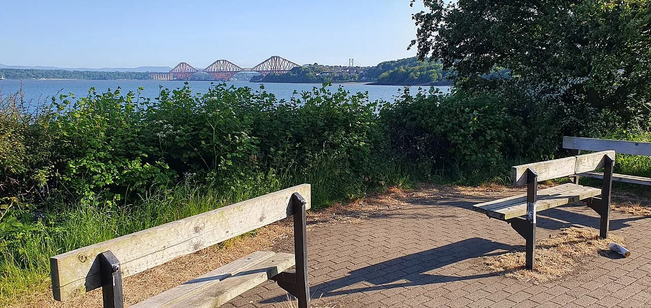
The trail begins in Buckie, a fishing port on the Moray Firth, and heads southwest up the valley of the River Spey to finish at Aviemore, below the Cairngorm mountains. Macs Adventure describes it as a 107 km (67 mi) route between the two towns, while Hiking Trails gives 135 km (84 mi) with 2,400 m (7,874 ft) of total ascent; the longer figure reflects a route including the high-level spur from Cragganmore to Tomintoul, so decide early whether you want that variant.
The Spey is Scotland's second-largest river and the valley is the country's most concentrated whisky-producing region, with around 20 distilleries close to the trail and more than 40 across Speyside as a whole. That means the route is as much a string of villages and side excursions as a wilderness walk, and daily planning is largely about how many of those stops you want to build in.
How long it takes and which direction to walk
Most walkers split the trail into stages of 10 to 23 km (6 to 14 mi) and finish in six to nine days, with the nine-day version below taken from the published itinerary. If you have less time, the lower Spey between Fochabers and Grantown-on-Spey is where the villages, bridges and distilleries cluster; the upper Spey toward Aviemore is quieter and more open.
Direction is a real decision. The traditional start is Buckie, which gives a flat coastal opening and a gradual build toward the mountains, but walking southwest means you may spend more of the walk facing into the prevailing wind; the reverse, from Aviemore to Buckie, can be easier on windy days and finishes at the coast.
Distance, ascent and terrain
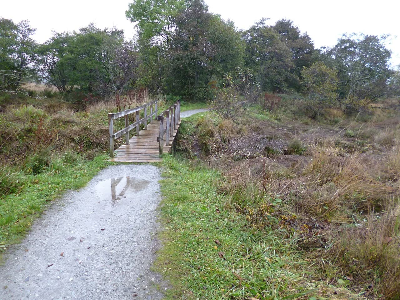
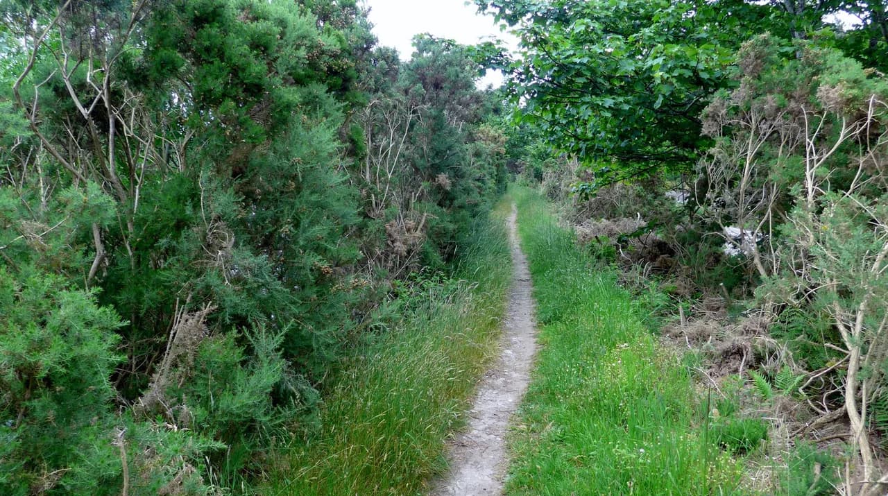
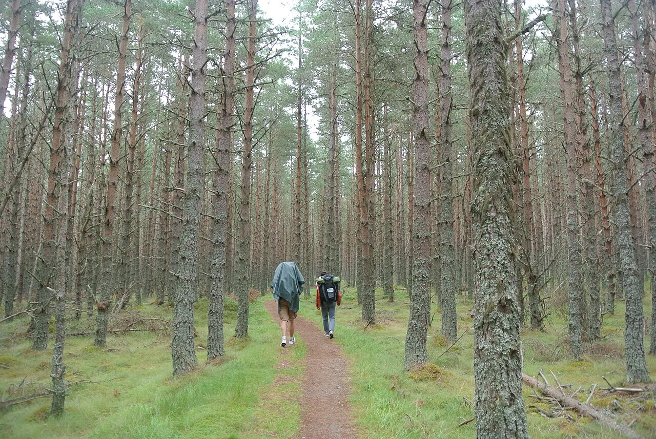
This is a low-level trail. Hiking Trails rates it easy overall with some steep ascents, and much of it runs on former railway line and good paths close to the river, through birchwoods, pastures and open moorland. The gradient is gentle for long stretches, so the challenge is cumulative distance and weather rather than any single climb.
Surfaces are mostly firm and easy to follow, and the waymarking is consistent enough that navigation is straightforward in clear weather. Treat the exposed moorland sections with more care when cloud drops or wind picks up, since a flat route in poor visibility still needs a paper map and compass.
Getting to the start at Buckie and home from Aviemore
Buckie has no railway station, so the practical approach by public transport is a train to Elgin followed by a connecting bus to Buckie. Inverness, Glasgow and Edinburgh all have airports and rail links into the region, which makes Elgin the natural gateway for the coastal start.
Aviemore at the finish is much better served, sitting on the main Highland line with direct trains south to Perth and Glasgow and north to Inverness, so most walkers book the return leg from there. Plan the middle of the route carefully: bus services along the trail are sporadic, with some stretches having no public transport at all, which is the main argument for pre-booked accommodation and, if you want it, a baggage transfer service.
Stage-by-stage: Buckie to Fochabers
The opening stage covers 17.5 km (10.9 mi) from Buckie to Fochabers. It is the flattest day of the walk, leaving the Moray Firth coast and turning inland along the lower Spey through farmland and woodland, and it works well as a warm-up with a pack.
Fochabers to Craigellachie
The second stage runs 20 km (12.4 mi) from Fochabers to Craigellachie. The landmark of the day is Craigellachie Bridge, a graceful iron arch spanning the Spey, and the village beyond it makes a good overnight base with the river on your doorstep.
Craigellachie Bridge is one of the trail's signature crossings, and the stretch through Aberlour just upstream adds a further draw in the form of the Walkers Shortbread bakery.
Craigellachie to Ballindalloch
From Craigellachie the trail covers 19.5 km (12.1 mi) to Ballindalloch, running up the valley past Aberlour and into estate country. Ballindalloch Castle sits near the route, and Balvenie Castle's ruins are another historic stop in this stretch.
Ballindalloch to Grantown-on-Spey
This is the longest standard day, 23.25 km (14.4 mi) from Ballindalloch to Grantown-on-Spey, and the country grows emptier as you climb away from the river. It is the day to start early and carry more food, because shops between the two are limited.
Grantown-on-Spey has a smokehouse, several places to eat and the ancient woodland of Anagach on its edge, so it repays an afternoon rather than a quick pass-through.
Grantown-on-Spey to Boat of Garten and Aviemore
The next two days split as 17.5 km (10.9 mi) to Boat of Garten and a short 9 km (5.6 mi) into Aviemore, so the pair can be combined if you are moving well. This is old railway country and the going is easy underfoot, with the Cairngorms rising ahead as you approach the end.
Hiking Trails carries the itinerary on beyond Aviemore for 10.5 km (6.5 mi) to Kincraig and 21 km (13 mi) to Newtonmore, which suits walkers linking onward rather than finishing in the town.
The Tomintoul spur from Cragganmore
An alternative route leaves the valley at Cragganmore and climbs 25 km (15.5 mi) to Tomintoul. Hiking Trails singles this out as the most beautiful and wildest part of the whole route, and it is the reason the ascent figures vary so much between sources.
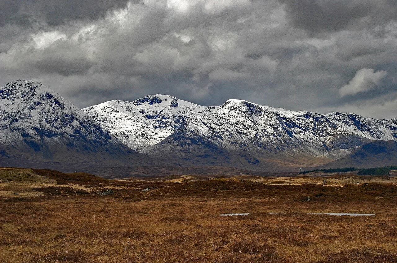
Take the spur as a deliberate choice rather than an add-on: it trades the easy riverside grade for genuine hill ground, so allow a full day, check the weather before committing and carry kit for a change in conditions. If you enjoy that taste of bigger ground, compare it with hiking in Glencoe before choosing your next Scottish trip.
Distilleries and sights along the way
The trail passes close to around 20 distilleries, among them Glenfiddich, Glenlivet, Cardhu and Strathisla, with Chivas Regal produced at Strathisla in one of Scotland's oldest highland distilleries.
Two non-whisky stops shape the schedule just as much: the Speyside Cooperage, where casks are made and repaired, and the Walkers Shortbread bakery in Aberlour. Visiting hours, tour times and whether booking is needed are set by each site, so build distillery days around confirmed openings rather than assuming you can drop in.
Where to stay: villages, B&Bs and campsites
Every main stop has somewhere to sleep, and almost all of them have a campsite as well as B&Bs, hotels and guesthouses. The pattern worth knowing is that villages are small, some have only a shop and some have none, so booking accommodation in advance and planning food around the larger stops saves awkward days.
Buckie, as the starting point, has the widest choice of B&Bs, hotels and a campsite plus shops to stock up. Self-guided operators run this trail with luggage transfers and hand-picked B&Bs, which is an option if you would rather not carry a pack between villages.
Huts, bothies and wild camping
Wild camping is legal in Scotland under the Scottish Outdoor Access Code, in small numbers and for two or three nights in the same place, away from buildings, roads, enclosed crops and livestock. Leave no trace and ask at a nearby house before pitching close to it.
Bothies offer free, basic shelter maintained by volunteers, usually with no booking and no facilities beyond a roof; find and support them through the Mountain Bothies Association. On this low-level route bothies are a bonus rather than a plan, so do not build an itinerary around them without confirming they exist where you need one.
Water, resupply and midges
Although the trail shadows the River Spey, drinking water is not as available as you might expect, so carry a filter or buy water in villages and ask politely for refills in pubs. Treat river and burn water before drinking.
Midges are the real summer nuisance in this part of Scotland, worst on still, damp evenings; a head net, long sleeves and repellent make the difference between a pleasant camp and a miserable one. The trade-off is that winter removes the midges but brings rain, shorter days and snow from late October into March.
When to go: months, daylight and weather
April to September is the main season, with long daylight and the driest conditions, summer temperatures around 18 to 20°C (65 to 68°F) and plenty of time to cover the distance without rushing. Summer rain is still normal here, so a waterproof jacket belongs in the pack even on a forecast of sunshine.
Spring and autumn give quieter villages and firmer going underfoot, with the trade-off of shorter days and a higher chance of a wet, windy spell. The route stays low enough to walk outside high summer, provided you carry a hard shell and plan shorter days.
Day-hike options and linking trails
You do not have to walk the whole thing. The stretches around Craigellachie, Aberlour and Ballindalloch make easy half-day walks between villages, and the old railway sections near Boat of Garten and Aviemore suit families and short days.
At the coast end, the Speyside Way links with the Dava Way and the Moray Coast Trail to form the Moray Way circuit, which is how some walkers turn a linear trail into a loop.
Plan Your Visit
Treat the Speyside Way as a gentle but full week: pick six to nine days, decide whether the Tomintoul spur is for you, and book the small-village nights before you travel. Arrange the Elgin-and-bus approach to Buckie and a train home from Aviemore, and the logistics fall into place.
For more Scottish routes, from the West Highland Way to the Munros and Ben Nevis, browse the rest of the guides before you commit to dates.
Frequently Asked Questions
How long does it take to walk the Speyside Way?
Most walkers take six to nine days, splitting the route into stages of roughly 10 to 23 km (6 to 14 mi). The nine-day split includes a short 9 km (5.6 mi) day into Aviemore, which many people combine with the previous day to finish sooner.
Is the Speyside Way difficult for beginners?
It is one of the easier Scottish long-distance trails, mostly flat and running on former railway lines and good riverside paths, so it suits a first multi-day walk. The exceptions are the longer middle stages and the hilly Cragganmore to Tomintoul spur, which is genuine hill ground.
Which direction should you walk the Speyside Way?
Start at Buckie for the traditional route, with a flat coastal opening and a gradual build toward the Cairngorms at Aviemore. Walking from Aviemore to Buckie can be easier on windy days, since you may spend less of the walk facing into the prevailing wind.
Are there distilleries directly on the Speyside Way?
Yes, the route passes close to around 20 distilleries, including Glenfiddich, Glenlivet, Cardhu and Strathisla, along with the Speyside Cooperage and the Walkers Shortbread bakery in Aberlour. Each site sets its own visiting times, so arrange distillery tours before you finalise daily mileages.
Can you wild camp on the Speyside Way?
Wild camping is legal in Scotland under the Scottish Outdoor Access Code, in small numbers and for two or three nights in the same place. Pitch away from buildings, roads, enclosed crops and livestock, and follow the leave-no-trace principles.
When is the best time of year to walk the Speyside Way?
April to September gives the longest days and generally the driest weather, with summer highs around 18 to 20°C (65 to 68°F). Midges are at their worst on still summer evenings, while winter brings rain, shorter days and possible snow.
Sources
Trail notes for your next trip
Optional updates when we add or revise hiking guides.
You might also like
Continue reading
More guides you'll find useful