Arthur's Seat Hike: Routes, Distance and How Long It Takes
Plan the Arthur's Seat hike in Holyrood Park: routes from Holyrood Palace and Dunsapie Loch, distance, ascent, walking time and summit conditions.
On this page
Arthur's Seat gives you a 251 m (823 ft) extinct volcano summit with 360-degree views over Edinburgh, all within Holyrood Park at the end of the Royal Mile. The climb suits walkers of reasonable fitness with an hour or two to spare, and it delivers a hill day without leaving the city. The trade-off is popularity: the main path carries crowds on fine afternoons, so the choice of route and time of day matters more than the effort.
What the hike delivers
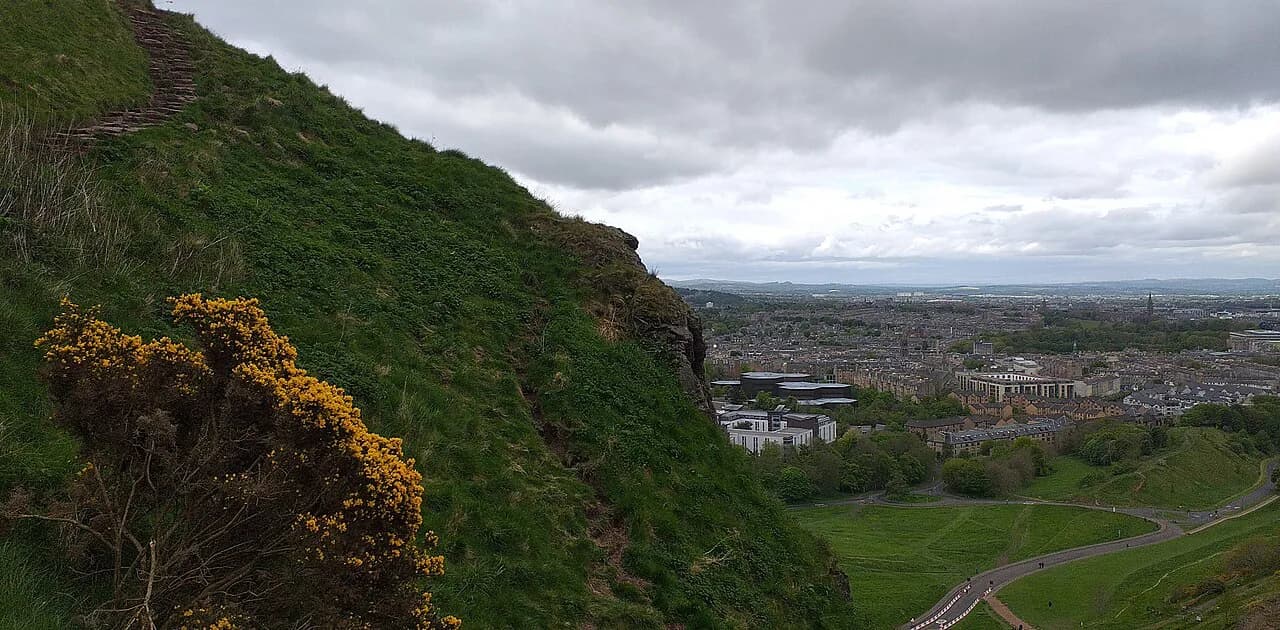
The summit sits at 823 feet (251 m) above sea level, the highest point of a volcano that erupted about 350 million years ago, and the climb gains roughly 800 feet (244 m). From the top you look across the Old Town, the New Town and the Firth of Forth. The hill is deceiving: it looks modest on the skyline, but the steady incline and rocky top section make it a real walk rather than a stroll.
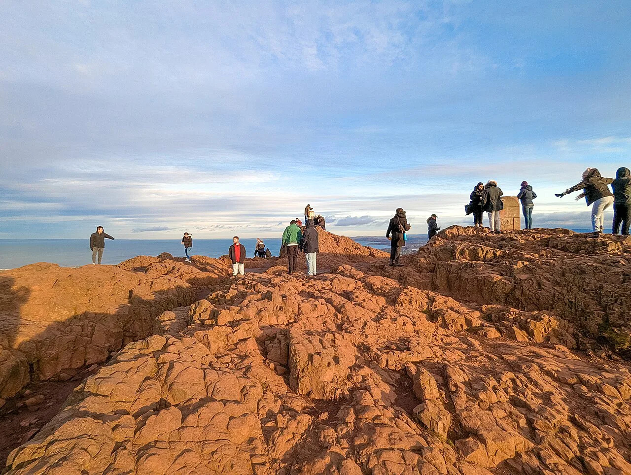
At the summit you find a large compass and the remains of a fort, and the ground is all rock, so watch your footing when it is busy. Salisbury Crags, the sheared cliff below the summit, gives straight-down views of the city and is the quieter, arguably better viewpoint. Hikers weighing Edinburgh against bigger days can save the summit climb for a clear morning and keep the crags for the evening.
Where the hike starts
Most walks begin at the Holyrood Palace end of the Royal Mile, where you face the Salisbury Crags and pick up the trailheads near Queen's Drive. If you drive, park in the car park next to Queen's Drive beside the palace, or take a taxi to the same spot. Toilets are available near Holyrood Palace, the last reliable facilities before the climb.
Drivers and taxi passengers can start higher at Dunsapie Loch, which cuts the climb but also cuts the scenery. For the southeast side, the Railway Path from the Commonwealth Pool leads toward Duddingston, and from Holyrood you can reach the village on foot or over the hill. Walking from the Royal Mile is the simplest option and avoids any parking question.
Main route up (Green Route)
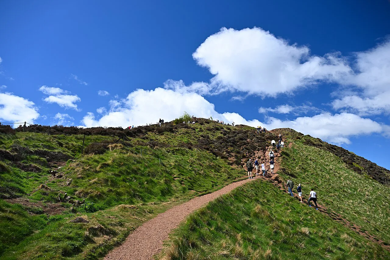
From the palace, take the left-hand trailhead facing the crags, then keep left at the first fork to stay on the climb to Arthur's Seat. The path becomes dirt singletrack and climbs steadily, with no scrambling required, and takes 30 to 60 minutes to reach the peak on this route. Allow for a short descent before the final pull to the highest point.
The alternative main path, the red trail, leaves Queen's Drive for the summit and takes more than half an hour to the top, with a total run of 3.7 kilometres (2.3 miles) in under two hours. It is the busiest line on the hill, so start early or late to avoid the crush. The best plan is a loop: climb the Green Route and return beneath the crags rather than retracing your steps.
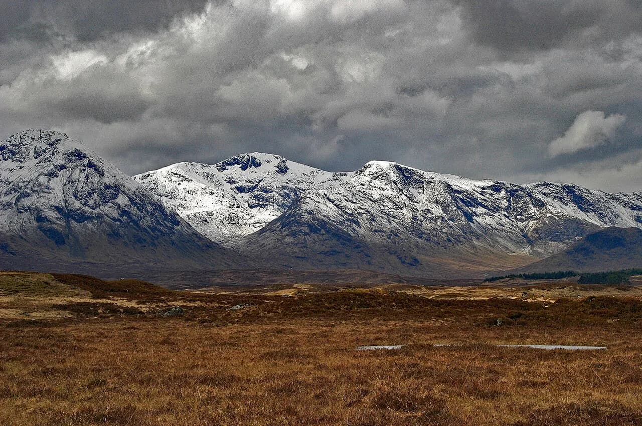
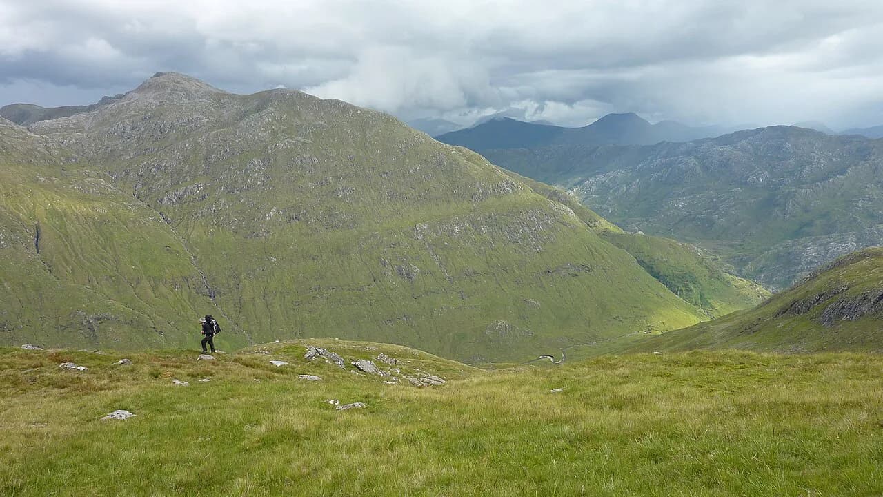
For a wider view of Scotland's hill days, the scotland hiking guide covers long routes and higher summits, from the west highland way to Ben Nevis, for hikers who want more after this city climb. If the Highlands are calling, hiking in Glencoe sets out the trails, difficulty and timing for one of Scotland's classic mountain areas.
The steep descent and the Salisbury Crags return
From the summit, a steep trail of dirt and stone steps drops toward the valley below the crags, and it has a few tricky spots that reward slow, careful steps. At the bottom, follow the wide paved path along the base of the Salisbury Crags back to the start; this flat return is the scenic payoff of the loop. The upper dirt line along the spine of the crags, the Radical Road, has been closed since 2018 because of rockfall risk, and Historic Environment Scotland has worked toward a partial reopening that has not yet happened, so use the paved base path instead.
If you would rather skip the summit, the crags walk alone is the least strenuous option in Holyrood Park. From the Queen's Street side, take the trailhead on the right and follow the path along the crags, or return through the park on the pink route for different views. The opening pull is steep, but the cliff edge arrives in about 20 minutes, and the city views from there are the sharpest in the park.
Dunsapie Loch: the easiest summit
The least demanding way to the top starts at Dunsapie Loch, where a trail leads to the summit without the long approach from the palace. It requires a car or taxi to reach the start, and it is less scenic than the Green Route through the park. Choose it when time is short or legs are tired, and accept that you trade the best of the walk for the easiest climb.
Salisbury Crags as a stand-alone walk
The crags make a fine short outing on their own, and some walkers rate the views from the cliff edge above those from the summit. You walk on dirt and grass with few rocks, and the top of the cliff comes up in about 20 minutes from the Queen's Street side. There are far fewer people than on the summit path, which makes this the better choice on a crowded afternoon.
Continue along the cliff edge and the path drops into the valley between the crags and Arthur's Seat, where you can either take a hidden steep path through the bushes or a more visible path veering left that skirts the hill and climbs stone steps to join the main route. Hikers with time for both should consider climbing the summit first and detouring to the crags on the way back, so the cliffs and city stay in front of you.
Distance, ascent and time at a glance
Route options run about 3.2 to 4.8 kilometres (2 to 3 miles), with roughly 800 feet (244 m) of ascent and a high point of 251 m (823 ft). Most people spend one to two hours on the hike, and a return trip with detours runs two to three hours. Plan two to three hours if you want the crags as well as the summit.
The main path from Holyrood Palace to the top takes just under an hour for a brisk walker, while the more common estimate is 45 minutes to an hour to the summit and two to two and a half hours for the round trip. Trail conditions are dirt paths with rocky sections near the top, and the footing is uneven, so a good pair of walking shoes is worth more than speed.
Summit conditions and when to go
It is very windy at the top even in summer, so bring a jacket, and the rock is slippery when wet. In winter, ice on the official path makes slipping likely, and the wiser line is to walk farther out on the grassy plain before the final stretch, where railings and chains help on the last pull. Save the climb for clear, mostly dry days with light wind; fog, low cloud and icy conditions make the summit a poor bet.
Crowds build on the main path through the middle of the day, so go early or late for a quieter summit. Winter daylight in Edinburgh is short, which argues for a midday start and the shorter Dunsapie Loch line if the afternoon is closing in. Spring and autumn give a good balance of light and space on the path.
Add-ons on the way down
The ruins of St. Anthony's Chapel date from the 1100s and sit near the descent, and the return passes St. Margaret's Loch and Dunsapie Loch, both worth a few minutes. From the southeast slope, Duddingston village holds the Sheep's Heid Inn, which dates to 1360, and Dr. Neil's Garden sits next to the church. Walking out through the village makes a satisfying exit from the hill.
Is the hike worth it, and who it suits
For families, short-stay visitors and anyone with a spare morning, the summit loop is the best value in Edinburgh, and kids who can handle 1 to 3 miles of uneven ground will manage the Green Route with supervision. Short-stay visitors should prioritize the crags if time is tight, since the cliff-edge views come up in 20 minutes. Hikers planning the west highland way or the munros will find the city climb a pleasant warm-up, but not a substitute for a hill day.
The route is open, free and always available, which makes it easy to fit around other plans. Bring water and a snack, allow two to three hours for the visit and do not attempt the climb in fog, low cloud or ice. If you want a longer coastal walk afterward, the fife coastal path follows the Firth of Forth north of the city.
Bringing a dog to Holyrood Park
A dog can join you on the climb, but the terrain deserves a thought before you set off. The upper paths toward the summit turn into dirt and then bare rock, and the sources describe rocky sections close to the top and a summit that is all rocks underfoot. The official path can also carry a lot of ice, especially in the winter months, with a great chance of slipping, and it is wiser to walk further on the grassy plain instead. A grassy line is generally kinder to paws than the stone steps and loose rock near the top, and the chain railings on the final stretch are there for handholding rather than for dogs.
Weather shapes the day as much as the path does. The summit is very, very windy, so an exposed dog may be unhappy even when the city below feels calm. The gentler outings suit four legs better: Dunsapie Loch and St. Margaret's Loch lie around Arthur's Seat, and the Salisbury Crags walk is a shorter climb of about 20 minutes near the top with much fewer tourists than the main summit path.
Practical points from the sources keep the logistics simple. The hill is part of Holyrood Park, which starts at the Palace of Holyroodhouse at the end of the Royal Mile, and the main route begins next to Holyrood Palace, where there is parking and toilets available near the palace. Carry water, since the sources list no facilities up on the hill, and note that the hike is not stroller friendly and is rated easy to moderate. The total main run is 3.7 kilometers, and the climb to the top takes more than half an hour, with the ascent lasting 45 minutes to an hour on the steady incline.
Plan Your Visit
Start at Holyrood Palace, climb the Green Route to the summit, and return along the paved path beneath the Salisbury Crags for the best loop in Holyrood Park. Keep the Dunsapie Loch option in reserve for short days or tired legs, and give the crags their own 20 minutes if the summit is crowded. Check the Holyrood Park and Historic Environment Scotland pages for the Radical Road before relying on a park map that still shows the upper line.
Frequently Asked Questions
How long does the Arthur's Seat hike take?
Most people spend one to two hours on the hike, with 30 to 60 minutes to the summit on the Green Route. A return trip with detours to the Salisbury Crags runs two to three hours.
Is Arthur's Seat an easy climb?
It is an easy to moderate walk with a steady incline and rocky sections near the summit, not a technical scramble. Reasonable fitness is enough, but slippery rock and wind at the top demand care.
What is the easiest route up Arthur's Seat?
The shortest and least strenuous line starts at Dunsapie Loch and reaches the summit without the long approach from the palace. It needs a car or taxi to the start and is less scenic than the Green Route.
Can kids hike Arthur's Seat?
Children who can walk 1 to 3 miles on uneven ground can manage the Green Route with supervision near the summit. Pick dry weather, take the easiest line and turn around early if needed, since the views are good before the top.
Where does the Arthur's Seat hike start?
Most walks begin at the Holyrood Palace end of the Royal Mile, near the Queen's Drive car park. Drivers and taxi passengers can also start at Dunsapie Loch for the shorter climb.
How much elevation gain is the Arthur's Seat hike?
The climb gains about 800 feet (244 m) to a summit of 251 m (823 ft). Route distance varies from about 3.2 to 4.8 kilometres (2 to 3 miles) depending on the path you take.
Sources
Trail notes for your next trip
Optional updates when we add or revise hiking guides.
You might also like
Continue reading
More guides you'll find useful