Staubbach Falls Hike: Lauterbrunnen Valley Route Guide
Walk from Lauterbrunnen to the foot of Staubbach Falls, climb the summer gallery and loop to Trümmelbach, with distance, ascent and timing details.
On this page
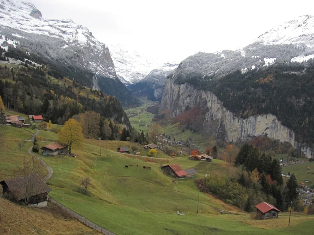
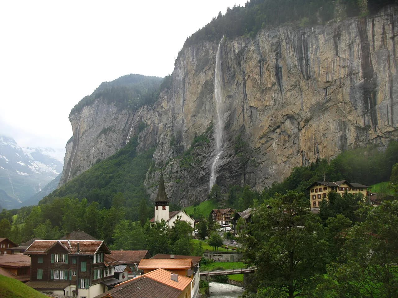
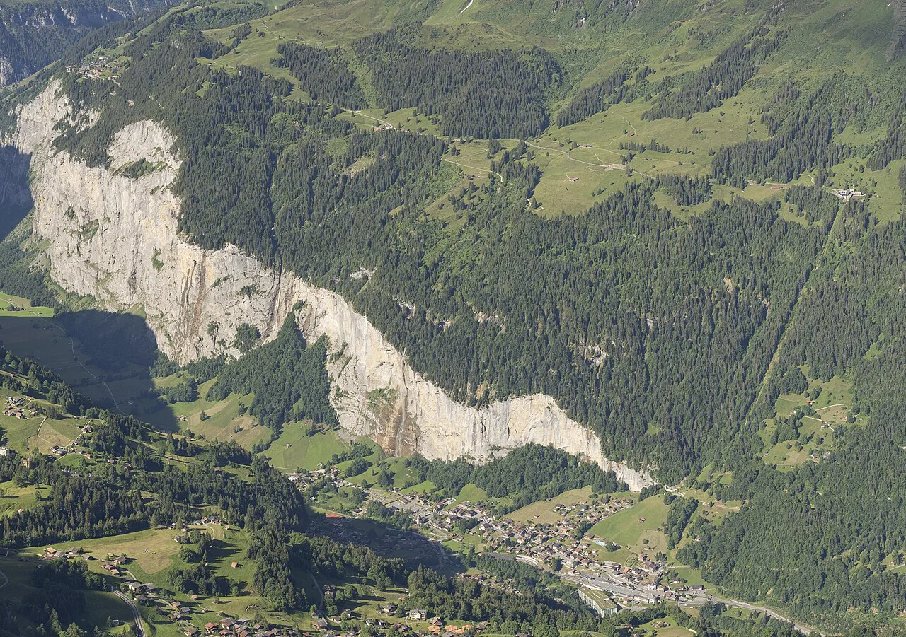
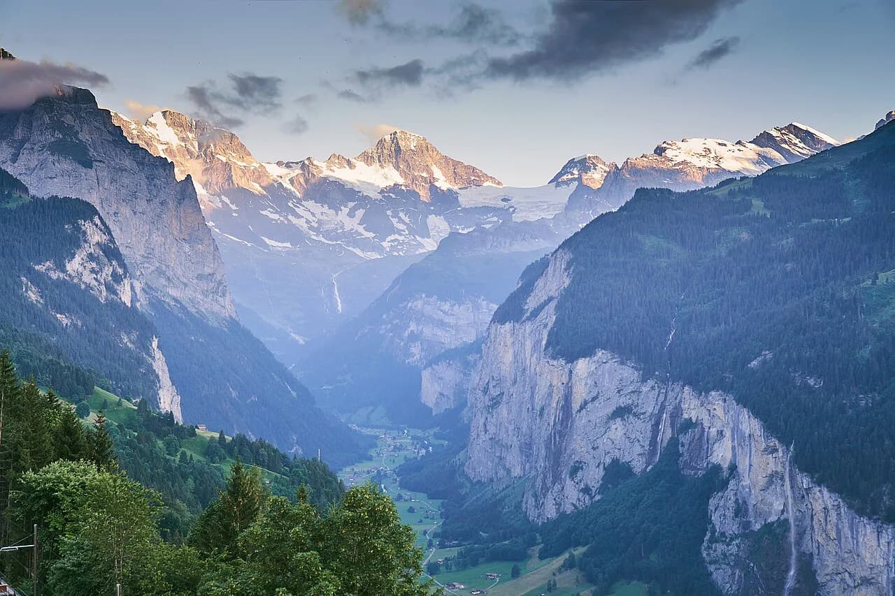
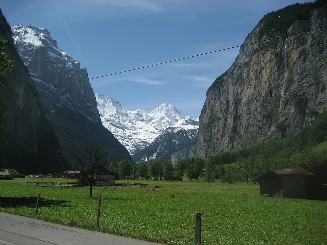
Staubbach Falls plunges roughly 297 metres (974 ft) down the western wall of the Lauterbrunnen valley, close enough to the village that you can reach its foot on a short walk from the train station. That makes it one of the most rewarding low-effort days in the Bernese Oberland, suited to families, casual walkers and anyone recovering from a bigger day on the higher trails.
The classic outing links the falls with Trümmelbach Falls further up the valley and returns along the Lütschine river, so you get two very different water features and a quiet river line instead of retracing the crowds at the main viewpoint. Plan on half a day rather than a full one.
Why the Staubbach Falls hike suits most hikers
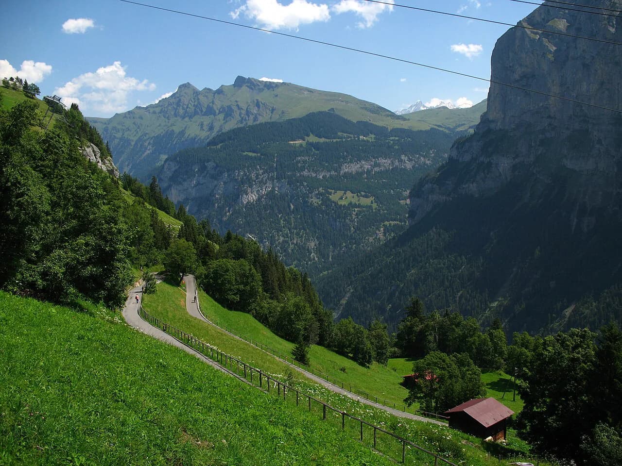
This is a valley-floor route with almost no sustained climbing, so fitness is barely a factor. The walking is on village roads, paved lanes and gravel river paths, and the only real gradient comes if you choose the gallery climb or the short ascent to the Staubbachhubel viewpoint behind the fall.
The trade-off is popularity: the foot of the falls sits minutes from the village and draws steady coach traffic through the middle of the day. Starting early or saving the falls for late afternoon, then walking the river section at midday, gives you a quieter experience on the same route.
If you want a bigger day in the same valley, use this walk as an easy first outing and build toward the higher routes covered in the hiking in lauterbrunnen guide, which range from village-level strolls to longer traverses above the treeline.
Trailhead and getting to Lauterbrunnen
The route starts and finishes at Lauterbrunnen train station, which Komoot's route line uses as both endpoints and notes is reachable by public transport. Trains run up the valley from Interlaken and from Wengen and Kleine Scheidegg above, so you can arrive without a car and step straight onto the walk, and if you are weighing up a base on the lakeside instead, the Interlaken hiking guide covers day hikes and trailheads there.
Drivers find parking in and around the village, but spaces near the station and the falls fill quickly in summer; arriving by train removes that problem entirely. From the station, head south through the village toward the obvious white ribbon of water on the valley's west side.
Route description: Lauterbrunnen station to the foot of Staubbach Falls
Leave the station and follow village lanes south, keeping the falls in view as a constant bearing. The approach is short and mostly flat, and you will pass the church and a cluster of guesthouses before the path narrows toward the rock wall.
At the base, a viewing area sits close enough that spray reaches you in any breeze. The falls are worth visiting in every season, and the character changes with daylight and water volume, so an evening visit looks nothing like a morning one.
A covered wooden bridge on the path by the water gives a wider angle on the fall and a break from the main viewing crowd. Use it as your vantage point for photographs rather than jostling at the closest rail.
The Staubbach Gallery climb
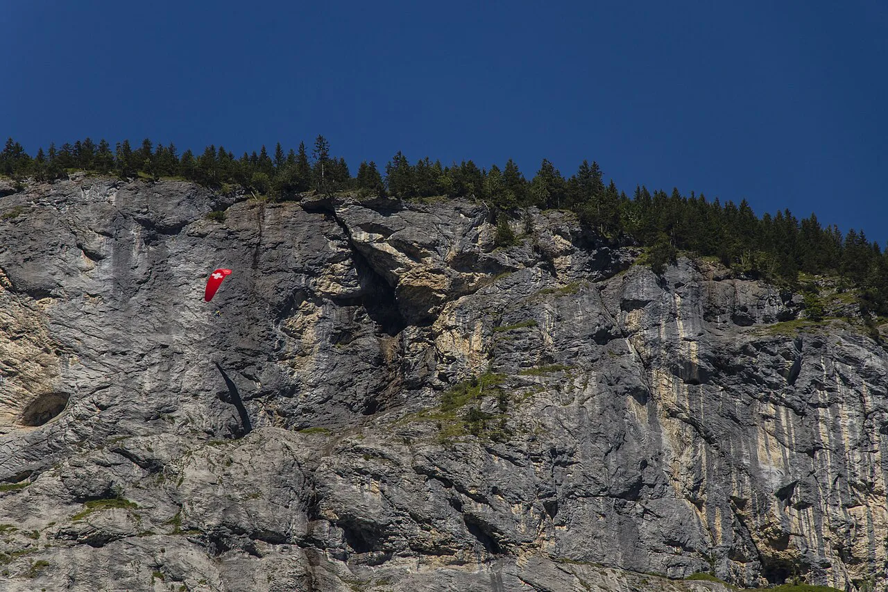
In summer the waterfall can be reached via the Staubbach Gallery, a balcony built into the cliff face. From the foot of the falls, a ten-minute climb leads to the Staubbachhubel, which runs behind the waterfall through a tunnel and up steps.
Treat the gallery as an optional detour rather than part of the base walk. The steps are steep, the tunnel and balcony are wet from spray, and the surfaces get slippery, so grippy shoes matter more here than anywhere else on the route.
Access to the gallery is a summer arrangement, while the foot of the falls remains worth visiting all year. Hikers visiting outside the summer window should plan on the valley-floor viewpoint alone and treat the climb as a bonus if it is running.
On to Trümmelbach Falls and back along the Lütschine
From Staubbach, continue south up the valley on the path toward Trümmelbach Falls, where the glacial meltwater of the Eiger, Mönch and Jungfrau cuts through the rock inside the mountain. Information boards along the way explain the valley's water features, and the falls sit roughly 4 km (2.5 mi) into the loop.
Trümmelbach is a paid interior attraction with its own ticket desk and lift access into the galleries, so budget time and money separately from the walk itself. Check current admission and opening times with Trümmelbach Falls before you set out, since the visit is inside the mountain and not part of the open trail.
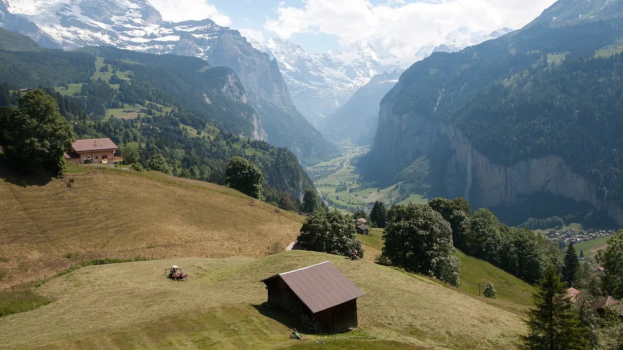
For the return, follow the Lütschine river rather than retracing the road. The river path runs with water on one side and flower meadows on the other, and it delivers you back to the village away from the busiest stretch at the main falls.
If you want to extend the day on the valley floor rather than climb, the Lauterbrunnen valley hike picks up other waterfall and meadow sections that link naturally with this loop.
Distance, ascent and time
The full loop from Lauterbrunnen station back to the station measures 8.22 km (5.1 mi) with about 110 m (361 ft) of ascent, and Komoot's route estimate is roughly 2 hours 14 minutes of walking. Add time at the falls, the gallery and Trümmelbach, and half a day is realistic.
The route's high point sits near 850 m (2,789 ft) and the low point near 790 m (2,592 ft), which tells you the climbing is gentle and spread out rather than concentrated in one climb. Most of the ascent belongs to the optional gallery steps and small undulations along the river.
Komoot rates the loop moderate, with easily accessible paths and no technical difficulty, though sure-footedness helps on the wet gallery steps. If you cut the gallery and Trümmelbach interior visit, the walking alone is an easy half-day.
When to go: season, daylight and waterfall volume
Late spring and early summer carry the most water, when snowmelt above the valley feeds the falls and the spray reaches furthest. The gallery operates in summer, making that window the only one where you can combine the valley walk with the climb behind the water.
Autumn brings lower flow, clearer air and quieter paths, and the foot of the falls stays worthwhile as the larches turn. Winter walking on the valley floor is possible, but expect icy patches on shaded lanes and check that the gallery is not in its seasonal closed period.
Afternoon thunderstorms build quickly over the Bernese Oberland in July and August. Because this route stays low, it is a good bad-weather or half-day option, but stay off the exposed gallery balcony and the open river path when lightning is nearby.
What to wear and what to carry
Sturdy shoes with grip are the one real requirement, because the gallery steps and tunnel floor stay wet. A light rain shell handles the spray at the base and any shower on the river return, and a small daypack covers water, snacks and a layer for the shaded valley floor.
Carry cash or a card for the Trümmelbach Falls ticket desk and for village cafes, and bring a refillable bottle since the walk passes through the village where you can top up. Trekking poles are optional on this route and mostly useful for the gallery steps.
Practical rules: access restrictions and fees
The valley walk itself is open ground with no ticket, while Trümmelbach Falls charges admission at its own entrance. Komoot's route notes flag temporary access restrictions on one segment, so check the on-site signage at the falls and along the river path before committing to the full loop.
Rockfall is a real hazard beneath the cliff walls, and hikers have reported the area under the fall being closed at times. Follow any barriers rather than walking around them, and keep to the marked path where the rock above is loose.
Where to stay in Lauterbrunnen for this walk
Basing yourself in Lauterbrunnen village puts the trailhead on your doorstep and lets you walk to the falls before the first coaches arrive. Guesthouses and hotels cluster along the main street within a few minutes of the station, and the valley also has a campsite for tent and van travellers.
Staying higher in Wengen or Mürren gives you bigger mountain days on the doorstep and a train ride down to this walk. If that appeals, the Mürren hikes guide covers the high-level routes above the valley, including the cliff-edge paths that look straight down on Lauterbrunnen.
Plan Your Visit
The Staubbach Falls walk works best as a relaxed half-day: station to the foot of the falls, the gallery climb if it is summer, on to Trümmelbach and back along the Lütschine. Start early or late to dodge the midday crowds and keep the river path for the return leg.
If you want vertical ground after this flat introduction, the valley's bolted routes are a logical next step, and the Lauterbrunnen via ferrata guide covers the grades, gear and access.
Frequently Asked Questions
How long is the hike to Staubbach Falls from Lauterbrunnen?
The walk from Lauterbrunnen station to the foot of the falls is short, well under an hour each way on flat village lanes. The full loop that continues to Trümmelbach Falls and returns along the Lütschine measures 8.22 km (5.1 mi) with about 110 m (361 ft) of ascent, roughly 2 hours 14 minutes of walking before you add time at the falls.
Can you walk behind Staubbach Falls?
In summer the Staubbach Gallery lets you climb from the foot of the falls to the Staubbachhubel, where a tunnel and steps run behind the water. The balcony is wet and steep, so wear shoes with grip. Outside the summer season, plan on the valley-floor viewpoint at the base.
Is the Staubbach Falls hike suitable for children?
Yes, the valley-floor route is flat and short enough for most children, and the river section adds interest. Supervise children closely on the gallery steps and tunnel, which are wet, and keep them away from the base of the cliff where rockfall is possible.
When is the Staubbach Gallery open?
The gallery is a summer route to the Staubbachhubel behind the waterfall. The foot of the falls can be visited all year. Ask at the Lauterbrunnen tourist office or check the Jungfrau Region pages for the current season before planning the climb.
How do you get to the Staubbach Falls trailhead?
Start at Lauterbrunnen train station, which is served by trains from Interlaken and from Wengen and Kleine Scheidegg. The station is the start and finish of the loop and is accessible by public transport. Drivers can park in the village, though spaces near the falls fill quickly in summer.
Do you need tickets for Trümmelbach Falls?
Trümmelbach Falls is a paid interior attraction with its own ticket desk, separate from the open valley walk. Admission prices and opening times change by season, so check current details on the day.
Sources
Trail notes for your next trip
Optional updates when we add or revise hiking guides.
You might also like
Continue reading
More guides you'll find useful