Stoos Ridge Hike: Klingenstock to Fronalpstock Trail Guide
The Stoos Ridge hike runs from Klingenstock to Fronalpstock above Lake Lucerne, with distance, ascent, T3 difficulty and chairlift access explained.
On this page
The Stoos Ridge hike links two summits above Lake Lucerne on a narrow crest with water on both sides: Lake Lucerne drops away on one flank and the Muota valley on the other. It suits hikers with a head for heights who want a full panorama without a full day of climbing, because chairlifts reach both ends of the ridge.
The standard route runs from Klingenstock to Fronalpstock in roughly two and a half hours of walking, with the option to ride up and down rather than repeating the ridge out and back. Pack for wind and fast weather changes on the crest, and start early in summer if crowds bother you.
What the Stoos Ridge hike offers and who it suits
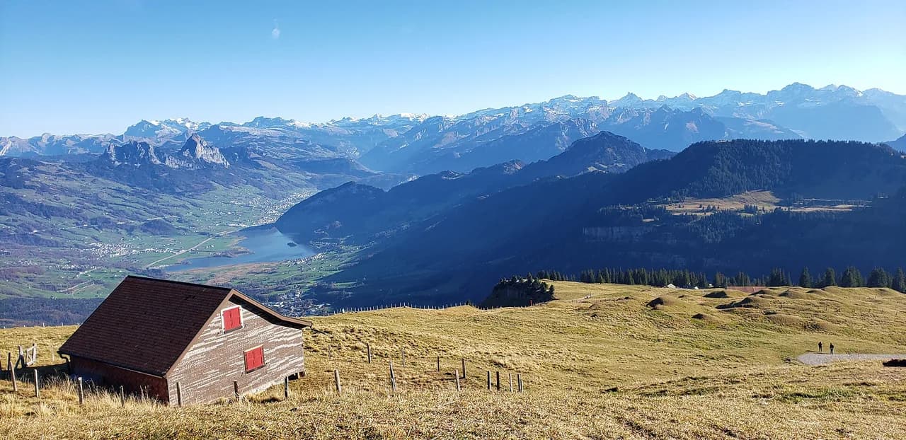
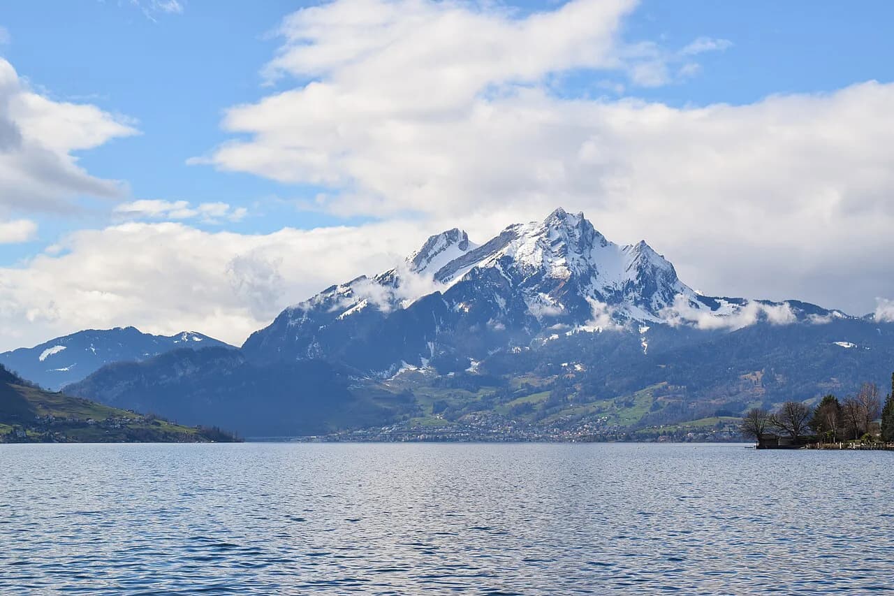
The ridge gives a 360-degree panorama: the Schwyz mountains, the peaks of Uri and the Glarus summits all line up, with Lake Lucerne vertically below on the left and the Muota valley falling away on the right. The crest is a maintained path with steps on the steepest slopes, so the challenge is exposure and head for heights rather than route-finding.
The ridge is about 4 kilometres (2.5 miles) of walking on a well-developed path with more than ten lakes in sight, which makes it a strong half-day objective for fit hikers. It is not a beginner's stroll: Fronalpstock describes the path as easily walkable but requiring a head for heights.
Where the trail starts and ends: Klingenstock and Fronalpstock
The two summits sit close in height: Klingenstock at 1,935 metres (6,348 feet) and Fronalpstock at 1,921 metres (6,302 feet). The walking is therefore modest in total climb, but the ridge between them rolls up and down, so expect short steep steps in both directions.
Klingenstock is the quieter start, with benches, tables and a panoramic board on the summit and no lake view directly below you. Fronalpstock is the more developed end, with a viewing platform, a hotel and restaurant, and the classic outlook over Lake Lucerne.
Getting to Stoos from Lucerne, Schwyz and Morschach
Stoos is car-free and reached by two lifts. The Schwyz-Stoos funicular takes about 7 minutes, and the Morschach-Stoos cable car takes about 17 minutes, so your choice usually comes down to which valley station is easier for you to reach by train and bus.
From Lucerne or Zurich, take a direct train to Schwyz, then Bus 501 to the Schwyz, StoosBahn stop for the funicular; the alternative is a train to Brunnen, Bus 504 to Morschach and the older cable car. As a rough planning figure, the one-way trip to Stoos takes about 1 hour 30 to 1 hour 40 from either city.
Drivers park at the Schwyz or Morschach valley stations and continue on foot by lift. Check the Stoosbahnen operating info before a trip, since the funicular and cable car keep their own timetables.
Chairlifts to Klingenstock and Fronalpstock and the day ticket
From the village, a chairlift climbs to Klingenstock in about 15 minutes and another serves Fronalpstock in about 20 minutes. Walking from the top station of the Schwyz funicular to the Klingenstock chairlift takes around 15 minutes, or about 25 minutes from the Morschach cable car.
For the one-way ridge, Stoosbahnen promotes a day ticket, the Peak Experience Ticket, that covers all the lifts needed for the approach and return. It can be booked online to avoid queues at the valley station, and you can check current prices before you travel, while lift tickets are also sold in Stoos itself.
Chairlift tickets are priced per ride, and prices change by season, so the current tariff is the one posted by Stoosbahnen or at the Stoos ticket office on the day you travel. The Fronalpstock chairlift runs late into the evening on some summer Saturdays, which lets you time the descent after a slow summit stop.
Distance, ascent, descent and walking time
The ridge itself is about 4.4 kilometres (2.7 miles) one way, with roughly 220 metres (720 feet) of ascent and 200 metres (660 feet) of descent between the two summits. Allow around 2 to 2.5 hours of walking, depending on how often you stop at the viewpoints.
Add the lift rides and the transfer walks and the day stretches to roughly half a day from Stoos. If you walk up from the village instead of riding, you add about 1 to 1.25 hours and around 700 metres (2,300 feet) of climbing, which turns the outing into a full day.
Difficulty, exposure and the T3 rating
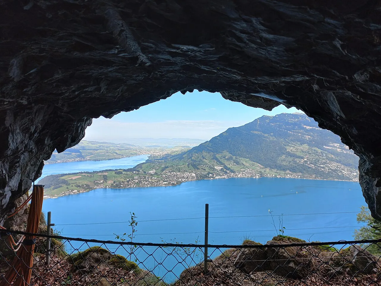
The route is graded T3, a challenging mountain hike: the path is clear and well maintained, with steps on the steepest slopes, and the moderate exposure is protected by chains in places. Nobody needs rope or scrambling skills, but the drop on both sides is real and a head for heights is essential.
The last short pull up to Fronalpstock is the steepest section, though it is brief. Wind and wet rock make the chain-protected passages more serious, so save the ridge for a settled day rather than a front moving through; afternoon thunderstorms are common in summer and the crest offers no shelter.
Route description: Klingenstock summit to Huuser Stock
From the Klingenstock chairlift top station, the summit is a few minutes away, with the whole ridge visible ahead. Leaving the summit, the path runs mostly flat at first before settling into the up-and-down rhythm of the crest, with the first open views down to Lake Lucerne on your left.
About halfway along, a signposted short detour leads to the Huuser Stock viewpoint. It adds 10 to 15 minutes to the walk and is worth the extra climb for the panorama back along the ridge.
Route description: Huuser Stock to Fronalpstock
Past Huuser Stock, the path keeps to the crest with several small panoramic points, where Pilatus, the Rigi and the Niederbauen Kulm come into view across the water. Stop at them rather than pushing through, because the outlook changes with every bend.
The ridge ends with a short climb to the Fronalpstock summit and its viewing platform, with the hotel and restaurant beside it. The descent to the Stoos chairlift station takes a few minutes of walking.
Fronalpstock summit and the descent
Fronalpstock is the better summit for photographs of Lake Lucerne, with the lake and the surrounding peaks filling the view, so it rewards the Klingenstock-to-Fronalpstock direction. Stay for the viewing platform and a meal before riding down, or walk the short path to the chairlift.
After riding the Fronalpstock chairlift down, the walk from its valley station to the village lifts takes about 10 minutes, and about 5 minutes to the Morschach cable car. From there, the funicular takes about 7 minutes to Schwyz and the cable car about 17 minutes to Morschach.
Hiking the ridge without chairlifts
You can walk up from Stoos to Klingenstock in about an hour on a dirt road that becomes a trail on the final, moderately steep climb. The view of the ridge just before the summit justifies the extra effort if you have the legs and the weather.
The longest version climbs from Morschach through forest on a gravel road via Stoos, then continues over the ridge and back, for roughly 22 kilometres (14 miles), 1,400 metres (4,600 feet) of ascent and almost 7 hours. Treat that as a serious full-day outing and carry water, because the refill points are in the village and at the huts.
When to go: snow, season and the best months
The ridge is usually walkable from late spring to autumn, roughly late May or early June through late September or early October, depending on how much snow lingers. Early in the season, the biggest patches tend to sit on the Klingenstock side and on the climb from Stoos.
Snow on the chain-protected passages makes the ridge a different proposition, so ask lift staff about conditions before committing. In summer, start early in the morning for fewer people and cooler climbing, or go late in the afternoon if you can time the last descent.
Huts, restaurants and where to stay on the Stoos
The Fronalpstock hotel and restaurant at the summit serves meals and drinks with the lake view, and it also has rooms if you want to stay up high for sunset. Book ahead for an overnight stay.
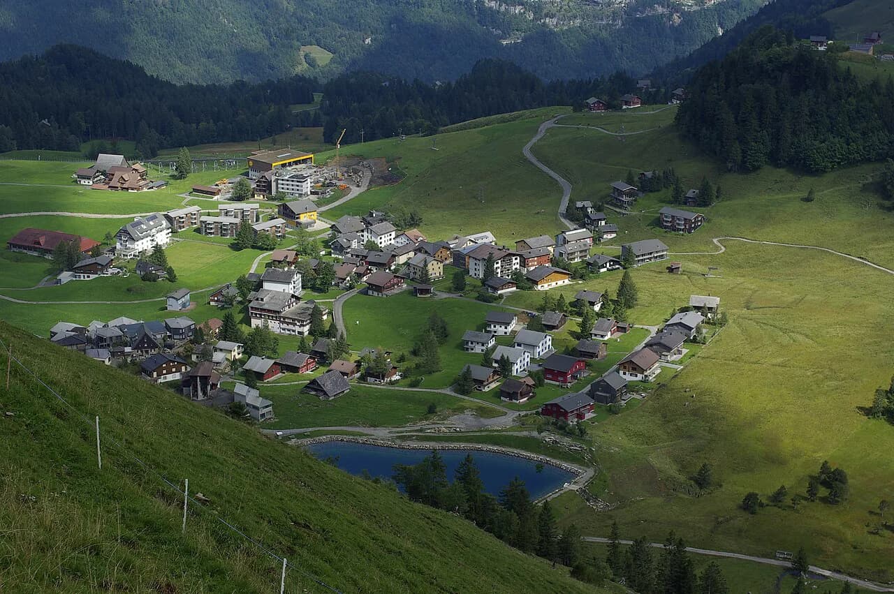
The car-free village of Stoos has hotels, bars and restaurants at the top of both lifts, which makes it the simplest base if you want the ridge as a half-day walk. For a wider choice of bases around the lake, the hiking in lucerne guide covers the other trailheads and villages at the water's edge.
Which direction to walk and how to avoid crowds
Klingenstock to Fronalpstock is the common direction and the one to choose if you want the best summit view at the end and the option of a late lift down. The reverse works if you are staying near the Fronalpstock chairlift, but the strongest panorama then arrives at the start rather than the finish.
The ridge is popular, so an early first lift or a late-afternoon start is the practical way to see it with fewer people. On busy days, ride up to Klingenstock and walk the ridge one way, which avoids repeating the exposed sections.
Plan Your Visit
The Stoos Ridge hike is a short, sharp panorama walk between two chairlift-served summits, best done from Klingenstock to Fronalpstock on a settled day with an early start. Walk the ridge one way and ride down, and treat the full climb from Stoos or Morschach as a separate, longer objective.
The mount pilatus hike is a different and much higher outing across the water, useful if you want a second day on the Lucerne side. If you would rather trade lakeside panoramas for ridge walking above the water, the Appenzell hiking guide covers similar crest routes in eastern Switzerland. Check the Stoosbahnen operating info and timetables for the lifts the day before you go, then match the walking time to the last descent.
Frequently Asked Questions
How long is the Stoos Ridge hike?
The ridge between Klingenstock and Fronalpstock is about 4.4 kilometres (2.7 miles) one way, with roughly 220 metres of ascent and 200 metres of descent, and takes around 2 to 2.5 hours of walking. Lift rides and transfer walks in Stoos add to the total day.
How difficult is the Stoos Ridge hike?
It is graded T3, a challenging mountain hike. The path is maintained and clear, with chains protecting the moderately exposed passages, but the drops on both sides mean a head for heights is required.
Can you hike the Stoos Ridge without the chairlift?
Yes. Walking up from Stoos to Klingenstock takes about an hour and adds around 100 metres of climbing at each end, while a full loop from Morschach is a much longer day of roughly 22 kilometres and 1,400 metres of ascent.
Which direction should you walk the Stoos Ridge?
Walk from Klingenstock to Fronalpstock for the better finish, because Fronalpstock has the strongest Lake Lucerne panorama and the viewing platform. The reverse direction works too but puts the best view at the start.
When is the best time of year for the Stoos Ridge hike?
The season usually runs from late May or early June to late September or early October, depending on snow. Early in the season the biggest patches linger on the Klingenstock side, so ask lift staff about conditions.
How do you get to the Stoos Ridge trailhead from Lucerne?
Take a train to Schwyz, then Bus 501 to the Schwyz, StoosBahn stop for the funicular to Stoos. From the village, chairlifts run to Klingenstock and Fronalpstock, and the one-way trip from Lucerne takes roughly 1 hour 30 to 1 hour 40.
Sources
Trail notes for your next trip
Optional updates when we add or revise hiking guides.
You might also like
Continue reading
More guides you'll find useful