Five Lakes Walk Zermatt: Route, Lift Access and Timing
The Five Lakes walk above Zermatt links Stellisee, Grindjisee, Grünsee, Moosjisee and Leisee in a half-day hike. Here is the route, lift access and season.
On this page
The Five Lakes walk is Zermatt's signature half-day hike: a station-to-station traverse past Stellisee, Grindjisee, Grünsee, Moosjisee and Leisee, with the Matterhorn reflected in several of them on a calm day. It suits hikers who want big views without a big climb, and families with children who can handle a few hours on their feet.
The route runs from Blauherd at 2,571 m (8,435 ft) down to Sunnegga at 2,288 m (7,507 ft), so you descend far more than you climb. Zermatt tourism rates it moderate T2, and the walking is on marked paths and gravel roads rather than exposed terrain. Plan on a morning start to keep the afternoon free, and carry a layer for the wind that funnels through the upper basins.
Where the Five Lakes walk runs and who it suits
The walk lies entirely in the Sunnegga–Blauherd area above Zermatt, on the sunny side of the valley opposite the Matterhorn. You start at the top gondola station at Blauherd, pass the five named lakes in sequence, and finish at Sunnegga, where a funicular drops you back to the village. Nothing on the route requires scrambling or a rope.
It suits hikers who want a half day at altitude with a moderate distance, and families: Zermatt tourism lists the route as suitable for children from six years. Hikers looking for a full day of climbing or a high alpine pass should look elsewhere, because the full route is a descent of roughly 542 m over 11.3 km, not a summit day.
Trailhead access: funicular to Sunnegga and gondola to Blauherd
From Zermatt village, the Sunnegga funicular station sits next to the Vispa river. Ride the funicular up to Sunnegga, then switch to the gondola for the short hop to Blauherd, where the walk begins. The funicular ride takes only about eight minutes, so the lift sequence is quick even with the change.
Check Zermatt Bergbahnen timetables before you set out, because the upper gondola can be closed for maintenance while the lower funicular still runs, which leaves you at Sunnegga with a walk up to Blauherd instead. The lift operator publishes seasonal operating times and ticket prices online; buy the ticket that covers both stages.
Distance, ascent, descent and walking time
Zermatt tourism gives the full route as 11.3 km (7 miles) with 265 m (869 ft) of ascent, 542 m (1,778 ft) of descent and a walking time of 3 h 30 min. The lowest point is 2,130 m and the highest 2,617 m, rated moderate T2. The reverse direction, from Sunnegga up to Blauherd, takes roughly 3 h 50 min because you gain the height instead of losing it.
Some hikers measure the route differently, at about 9.8 km and 165 m of ascent, because they follow the direct Blauherd–Sunnegga line rather than every lakeside detour. Treat the official figures as the planning number and the shorter ones as evidence that a trimmed version is possible. Either way, the profile is descent-heavy: your knees, not your lungs, do most of the work.
Route description: Blauherd to Stellisee
From the Blauherd gondola station, follow the signs marked 5-Seenweg. The path drops gently across open meadow to Stellisee, the first and most photographed lake, with the Matterhorn rising directly behind it. Walk around the far shore for the classic reflection angle when the water is calm.
This opening stretch is the highlight of the day for many hikers, and it is short. If you have limited time or tired legs, this is the section to prioritise, and you can turn around here and ride back down from Blauherd. Zermatt tourism counts the Matterhorn reflection at Stellisee, Grindjisee and Leisee among the route's signature sights.
Stellisee to Grindjisee and Grünsee
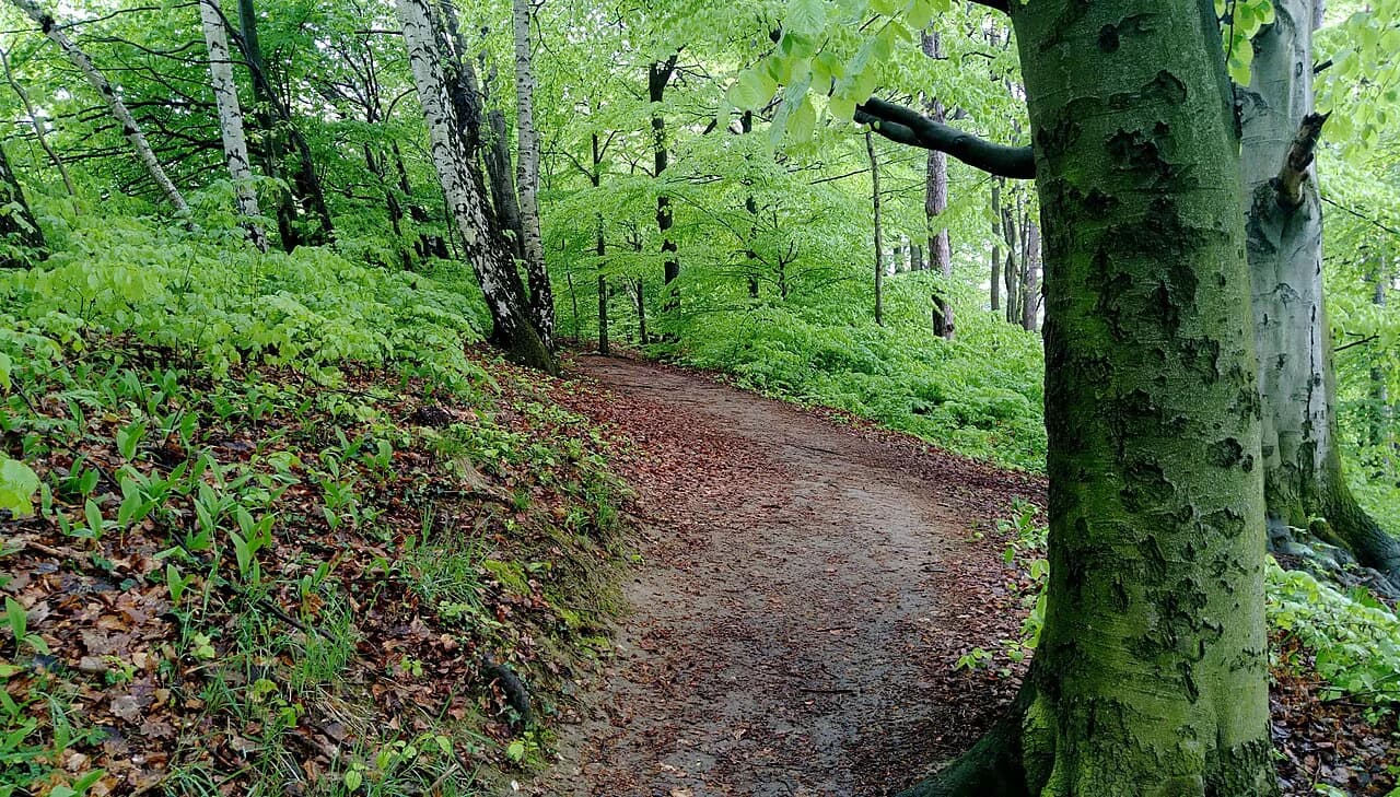
Past Stellisee the trail widens into a gravel road that descends toward Grindjisee, a small lake tucked among trees. Rare flowers grow on its shores, and the setting is greener and more enclosed than Stellisee. Continue along the same road to Grünsee, where the landscape turns barren: larches hold on among rubble and sand, and the lake has a swimming spot.
Set expectations for this middle stretch: it is quieter, partly wooded and less dramatic than the first lake, with only occasional glimpses of the Matterhorn. That makes it a good place to walk steadily and enjoy the geological and botanical interest rather than chase viewpoints. Hikers who want constant spectacle may prefer to spend their time around Stellisee instead.
Grünsee to Moosjisee and Leisee
From Grünsee, the route drops through a series of switchbacks in the trees to Moosjisee, a lake beside a hydro-power station with an aquamarine colour. From there, the climb to Leisee is short but the steepest stretch of the day, so save a little energy for it. At Leisee you find swimming, picnic facilities and a children's playground.
Leisee is the natural stop for a long lunch or a swim, and Zermatt tourism lists swimming at Leisee and Grünsee as a reason to bring swimwear. From the lake, you can walk up to Sunnegga station or take the elevator. The Matterhorn reflects in Leisee on a still day, closing the route with the same view that opened it.
Finishing at Sunnegga: lift down or walk to Zermatt
The walk officially ends at Sunnegga station at 2,288 m, where the funicular returns you to Zermatt village in minutes. If you would rather walk down, the trails toward the valley are steep and hard on the legs after a long descent, so most hikers take the lift. Mountain restaurants near the stations make a convenient finish before the ride down.
Because the route is point-to-point, you do not need to return to Blauherd. Check the last funicular departure from Sunnegga before you start, since the lift schedule changes with the season. If you are planning several days in the region, the broader hiking in switzerland guide covers other bases and lift systems.
When to go: season, snow and afternoon weather
Zermatt tourism lists the route as a year-round trail, but the high paths above Zermatt are at their best from June through September, when snow is generally gone. In early summer, patches can linger on shaded sections and around the upper lakes, and by late September fresh snow is possible. Check current lift status with Zermatt Bergbahnen before you go, since the upper gondola can be partially out of service even when the trail itself is listed as open.
Afternoon thunderstorms are a real feature of summer in the Alps, and the open meadows around Stellisee offer little shelter. Start early, watch the sky, and turn back if clouds build over the Matterhorn. Carry rain protection even on a clear morning and enough water for the exposed middle section.
The shorter version: Blauherd to Stellisee and back
If you want the best views without the full circuit, walk from Blauherd to Stellisee and return the same way: roughly 3 km (2 miles) round trip and about an hour. You still get the Matterhorn reflection and the finest scenery on the route, with time left for something else in the afternoon. This version works well for families with young children or for a day when the upper lifts are only partly open.
The out-and-back also avoids the long gravel descent and the steep climb to Leisee, which are the parts most likely to tire legs. If you have three days or more in Zermatt and want variety, the full route makes sense; on a short trip, the Stellisee return is the sharper choice.
Is the five lakes walk worth it, and who should skip it
The walk is worth it for the Stellisee section and for the convenience of a lift-assisted half day with swimming and picnic spots. It is less compelling for hikers who want sustained exposure, scrambling or high alpine terrain, since the route stays on wide paths and roads. If your goal is a dramatic Matterhorn day, consider a route closer to the mountain instead. Hikers weighing this against Switzerland's other lift-served lake circuits will find a comparable decision point in the Kandersteg hiking guide.
Hikers with limited time should weigh the full circuit against the shorter return and against other Zermatt objectives, such as a higher traverse on the Gornergrat side. That side lies outside this route and deserves its own day. For more demanding mountain days across the country, including via ferrata, see the switzerland via ferrata guide.
What to carry on the route
Good footwear and hiking poles are the core kit, and Zermatt tourism recommends clothing suited to the weather with rain protection always in the pack. Add swimwear if you plan to stop at Leisee or Grünsee, and a picnic if you want to eat at the lakes rather than at a mountain restaurant. The route has no glacier crossing, so no rope or axe is needed.
Carry more water than you think you need on warm days, because the middle stretch between Grünsee and Moosjisee is sheltered and the climb to Leisee is steep. A light layer for the wind at Blauherd and Sunnegga helps before and after the walk. Leave room in your pack for layers you shed on the descent.
Facilities and water on the way
Mountain restaurants sit near the main stations and along parts of the route, and Zermatt tourism marks restaurants on the way as a property of the trail. Leisee has picnic facilities and a children's playground, making it the best family stop. Grünsee and Leisee both offer swimming, so plan a slower afternoon if you want to use them.
There are no huts on this route and no need to book accommodation for it, but the wider region offers multi-day options if you want to extend your stay. For that kind of trip, see Hut to Hut Hiking in Switzerland. For hikers coming from outside the Alps, the Bernese Oberland page covers another classic Swiss base.
Plan Your Visit
Decide first whether you want the full Blauherd–Sunnegga traverse or the shorter Stellisee return, because that choice shapes your lift ticket, start time and how much you carry. Check the Zermatt Bergbahnen timetables and lift status before you buy, since the upper gondola does not always run. Start early in summer to avoid afternoon storms and to leave time for a swim at Leisee.
The Five Lakes walk rewards hikers who treat it as a half day at altitude rather than a summit objective: the Matterhorn views at Stellisee are the highlight, the middle lakes are quieter, and the descent to Sunnegga is easy on the lungs. Build in a buffer for the lift down, and keep the short version in reserve for a cloudy or tired day.
Frequently Asked Questions
How long is the Five Lakes walk in Zermatt?
Zermatt tourism gives the full route as 11.3 km (7 miles) from Blauherd to Sunnegga, with a walking time of 3 h 30 min. Some hikers cover a shorter line of about 9.8 km by skipping lakeside detours. The Blauherd–Stellisee out-and-back is only about 3 km round trip.
Is the Five Lakes hike in Zermatt difficult?
It is rated moderate T2 and is mostly downhill, with 265 m of ascent and 542 m of descent over the full route. The steepest section is the short climb to Leisee near the end. Families with children from six years can manage the route.
Where does the Five Lakes walk start?
It starts at Blauherd at 2,571 m, reached by funicular from Zermatt village to Sunnegga and then by gondola to Blauherd. The walk finishes at Sunnegga at 2,288 m, where the funicular returns you to the village.
Is the Five Lakes walk in Zermatt worth it?
It is worth it for the Stellisee section and for a convenient lift-assisted half day with swimming and picnic spots. Hikers seeking exposure or high alpine terrain should choose a different route. The short Blauherd–Stellisee return captures the best views if time is limited.
Sources
Trail notes for your next trip
Optional updates when we add or revise hiking guides.
You might also like
Continue reading
More guides you'll find useful