Hiking in Switzerland for Beginners: Easy Day Hikes
Beginner hikes in Switzerland with real distances, lift access and train links, from Mürren and Wengen to Oeschinensee and the Aletsch Glacier.
On this page
The easiest way into Swiss hiking is to let a lift do the climbing. A gondola, cable car or mountain railway drops you at 1,600 to 2,300 m (5,250 to 7,550 ft), and you walk a short, well-marked route between villages, lakes or restaurant terraces. The hikes below are grouped by how you reach the start, so you can pick a day that matches your fitness rather than your ambition.
Come with boots with real tread, a warm layer and a waterproof, because an afternoon at 2,000 m (6,560 ft) feels nothing like the valley you slept in. If you want the wider picture of Swiss routes, huts and regions before you choose, the hiking in switzerland guide covers the ground beyond these beginner options.
What Makes a Swiss Hike Beginner-Friendly
Three things separate a comfortable beginner day from a hard one. First, the total ascent: anything under about 300 m (985 ft) of climbing feels easy at altitude, while 500 m (1,640 ft) and up will have you stopping to breathe. Second, how you get to the start: a lift or train that climbs for you removes the hardest part of the day and gives you a bail-out if the weather turns.
Uphill is only half the story. A route that descends 600 m (1,970 ft) to a village puts the load on your knees and quads rather than your lungs, so check the descent figure as carefully as the ascent.
Third, a finish with a village, station or restaurant means you can stop when you have had enough. Swiss mountain transport is dense and timed, so plan the day around the last descent rather than the summit, and buy your lift ticket at the base station before you set off.
Mürren to Gimmelwald: The Gentle Warm-Up
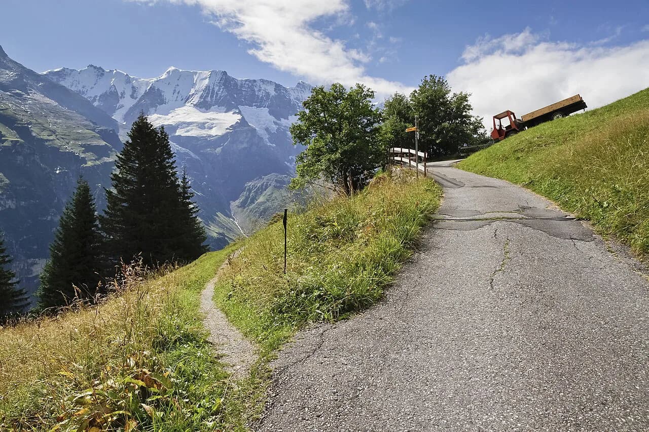
From Lauterbrunnen, a cable car climbs to Grütschalp and a small train continues to Mürren, a car-free village on a shelf above the Lauterbrunnen valley. The walk to Gimmelwald is about 2.7 km (1.7 mi) and almost entirely downhill, so you lose height steadily with the valley walls and waterfalls opening up in front of you.
The surface is a broad track through meadows and past wooden chalets, with cafés and guesthouses at both ends. At Gimmelwald you can take the cable car back up to Mürren and add the short flower-trail loop along the terrace, which keeps the day at walking pace rather than hiking pace.
This is the best first day in Switzerland for anyone unsure of their legs: there is no exposure, no scrambling and a village every few hundred metres. Do not be surprised if the descent leaves your calves sore the next morning, because 500 m (1,640 ft) of downhill is still work.
Männlichen to Kleine Scheidegg: The Classic Panorama
The Wengen–Männlichen cable car and the gondola from Grindelwald both reach Männlichen, so you can start the high traverse without climbing to it. The walk from Männlichen to Kleine Scheidegg is roughly 8 km (5 mi), mostly level or gently descending, with the Eiger, Mönch and Jungfrau lined up across the valley.
Treat the straight climb from Wengen up to Männlichen as an option, not the default. It gains about 1,050 m (3,440 ft) in a little over 5.8 km (3.6 mi), and the report from walkers who did it is that it feels harder than its moderate rating suggests.
Kleine Scheidegg has a railway station, restaurants and the cogwheel train onward to the Jungfraujoch, so the day can end with a train ride back down to Wengen or Grindelwald instead of a walk. Check the last descent from Männlichen with the lift operator on the morning you go, so the cable car is not already shut when you finish.
Kleine Scheidegg Down to Wengen
If the panorama has not used up your legs, continue from Kleine Scheidegg toward Wengen. The path down to the village is wide, easy to follow and open, with the Lauterbrunnen valley ahead and the railway line running alongside for part of the way. You can walk or ride a section of the train if you tire.
Partway down, Bergrestaurant Allmend sits right beside the route and serves raclette and other mountain food with a view back up to the peaks. It makes a sensible lunch stop or a final break before the last stretch into the car-free village.
Wengen itself is car-free and reached by mountain railway from Lauterbrunnen, so a base here puts three of these walks within a lift ride of your bed. The trade-off is the higher cost and busier village, but it saves hours of daily travel.
Oeschinensee: The Lake Loop from Kandersteg
Kandersteg sits on the main rail line between Bern and Valais, with a chairlift or cable car from the village to the lake shore. Once up, the loop around Oeschinensee runs about 7.7 km (4.8 mi) on a marked trail, is rated moderate and is one of the busiest routes in the Bernese Oberland.
The attraction is the color of the water and the wall of rock above it, with the Berghotel Oeschinen offering a terrace for lunch. Go clockwise or counter-clockwise as you prefer, but climb the lake-side bluff for the classic view of the lake and the peaks behind it.
Kandersteg works as a base for one lake day rather than a full week, and it is a sensible add-on if you are already staying in the Lauterbrunnen or Wengen area. Carry cash for small huts and cafés, since not every mountain restaurant takes cards.
The Aletsch Glacier Trail: A Beginner's Glacier Day
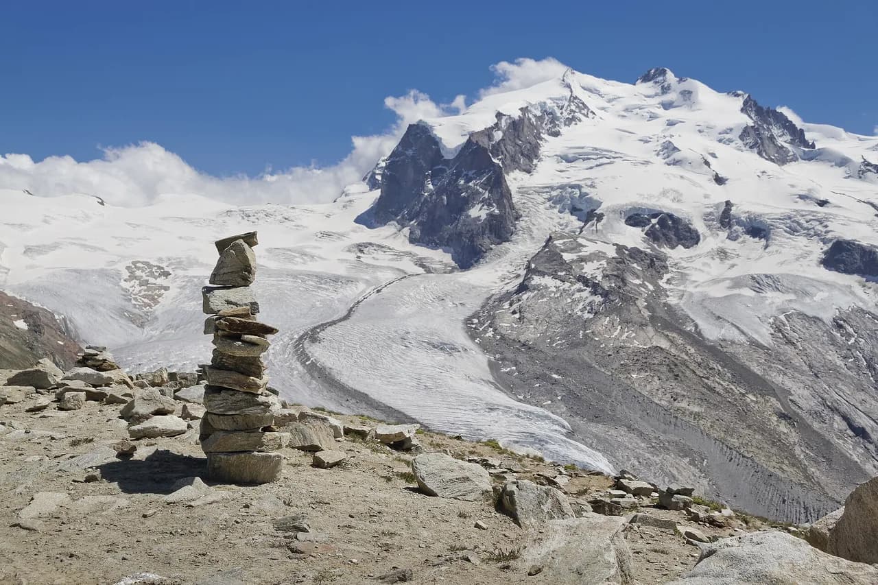
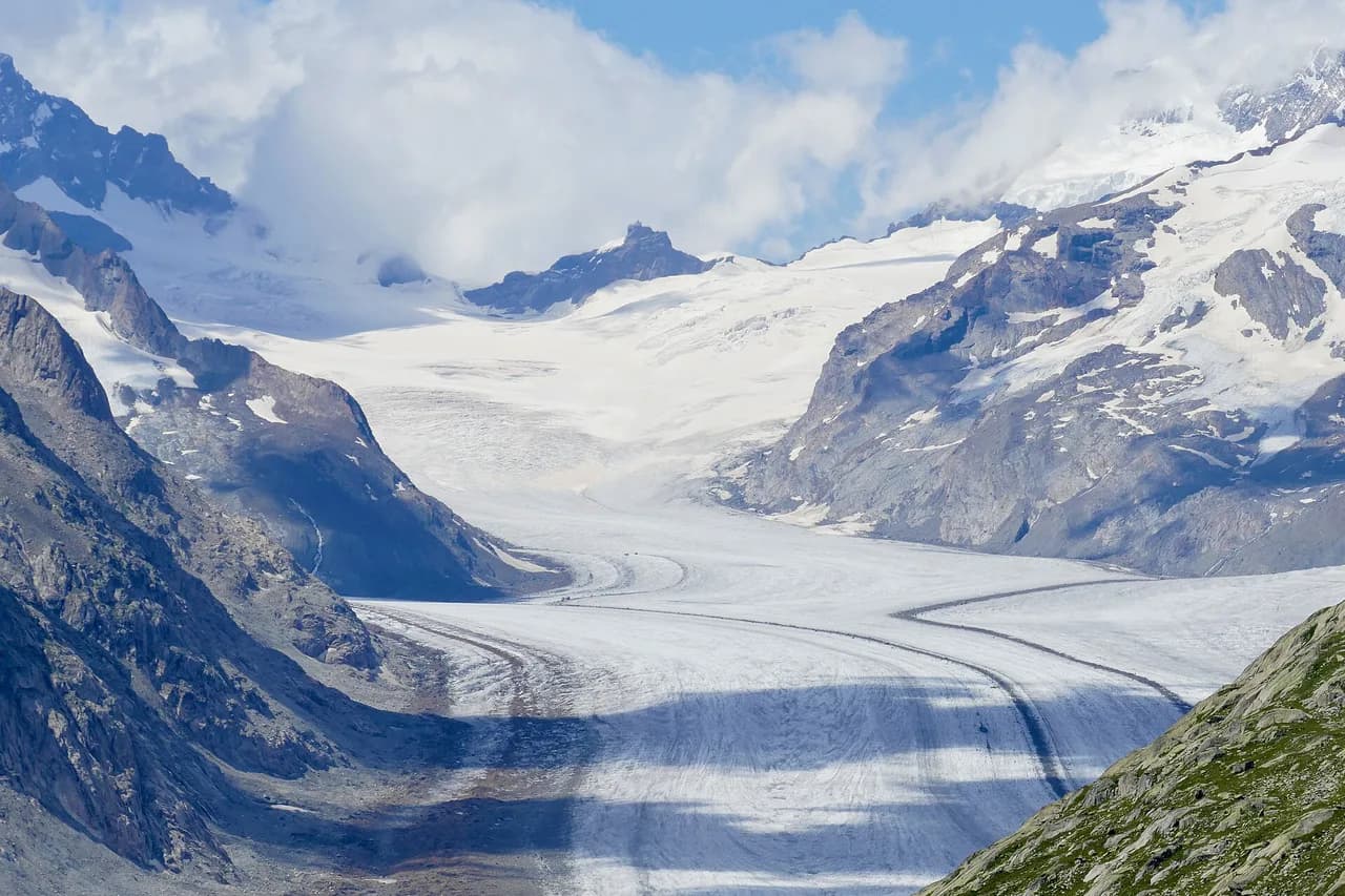
The Aletsch Glacier Trail is the best introduction to the Great Aletsch Glacier and can be done by a reasonably fit beginner. It runs 12 km with 510 m of ascent and 630 m of descent, and the published walking time is 3 h 45 min. It starts at the Moosfluh upper cable car station above Riederalp and finishes at the Fiescheralp upper station.
The season runs from July to October, and the route is rated medium for both technical and physical demands. The technical rating is the one to take seriously: the path is cut into rock and crosses the Grosses Gufer glacier, so the guide asks for surefootedness.
From Moosfluh, stone steps lead up onto the viewpoint, and the trail then drops toward Rote Chumma and on to Märjelensee. The lake lies below the glacier tongue, and from its shore the path continues to the Talligrat.
At Märjelensee, Restaurant Gletscherstube serves apple tart baked in a wood-fired oven, and it is the obvious mid-walk stop. If you are behind time or the legs are going, take the shortcut through the illuminated tunnel under the Talligrat, which skips the viewpoint loop and saves about an hour. The full route otherwise descends from the tunnel on a wide trail to Fiescheralp.
The Aletsch Arena is a serious day on a serious glacier, so use the local information centre to keep an eye on route and weather conditions before starting. Ridges and glacier viewpoints carry their own weather, and a clear morning there does not guarantee a clear afternoon.
Choosing a Base: Wengen, Mürren, Kandersteg or Fiesch
Wengen is the strongest base for a first Swiss trip. It is car-free, served by train from Lauterbrunnen, and close to the Männlichen cable car, Kleine Scheidegg and the Mürren day trip, so you can string together several easy walks without driving.
Mürren is for anyone who wants short walks and views over the valley from the terrace, with the Gimmelwald path and the flower trail on the doorstep. Kandersteg is a one- or two-night stop for the Oeschinensee day, and Fiesch or Riederalp is the base for the Aletsch day. If you would rather base yourself somewhere with more villages and lift-served day walks within reach, the Interlaken hiking guide covers that alternative.
Whichever village you choose, plan around the lift season rather than the calendar month: high lifts open when snow allows. If you would rather hand the logistics to someone else, self-guided hiking tours combine inn-to-inn routes, luggage transfer and route notes, and are a fair choice for a beginner who wants the bookings handled.
Getting Around with Lifts, Trains and Postbuses
Swiss public transport is timed, so a day of hiking by cable car, train and postbus can be planned like a timetable rather than a road trip. Buy your ticket at the station or lift base, and remember that the Swiss franc is the currency, not the euro.
Lift tickets are the big variable cost in a Swiss hiking day, and prices vary by route and season, so check the lift company's board or website on the morning of the walk to get the current fare. A multi-day lift pass only pays off if you are staying more than a couple of days in the same area.
When to Go: Seasons, Snow and Storms
July to September is the sweet spot for high walks, with the Aletsch Glacier Trail published as running July through October and the mountain lifts open for hikers. June can still leave snow on north-facing passes, and by late September the first storms and cold nights arrive on the ridges.
Afternoon thunderstorms are the real summer hazard on any exposed ridge above the treeline. Start early, aim to be off the highest ground by early afternoon, and be willing to turn back if the sky darkens over the peaks.
Staying Safe as a Beginner
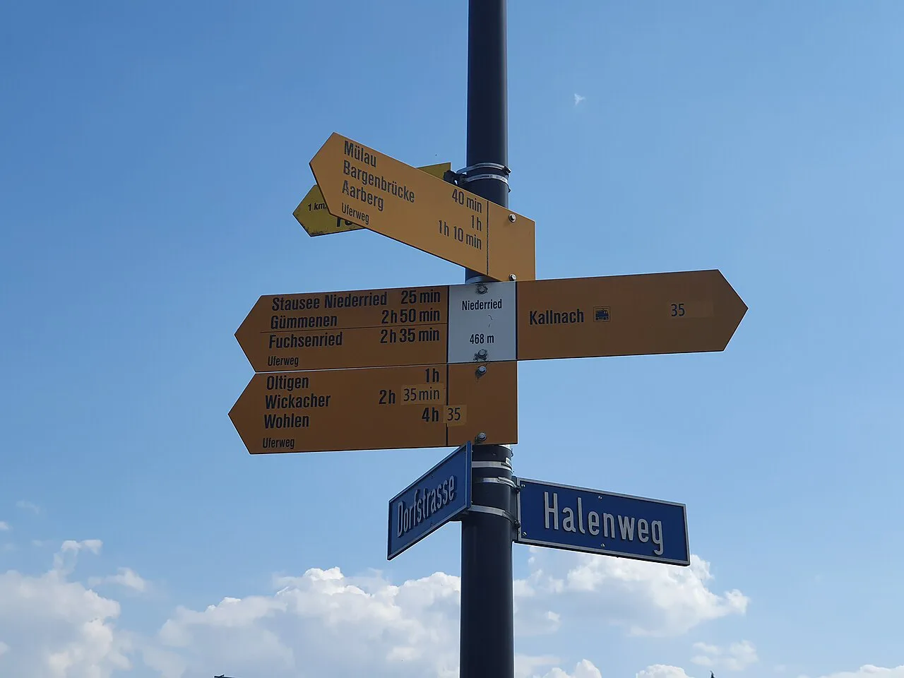
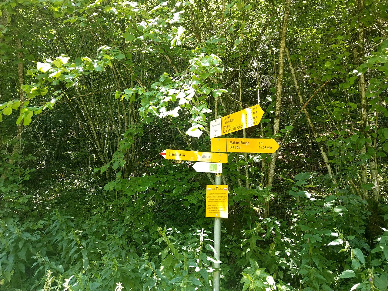
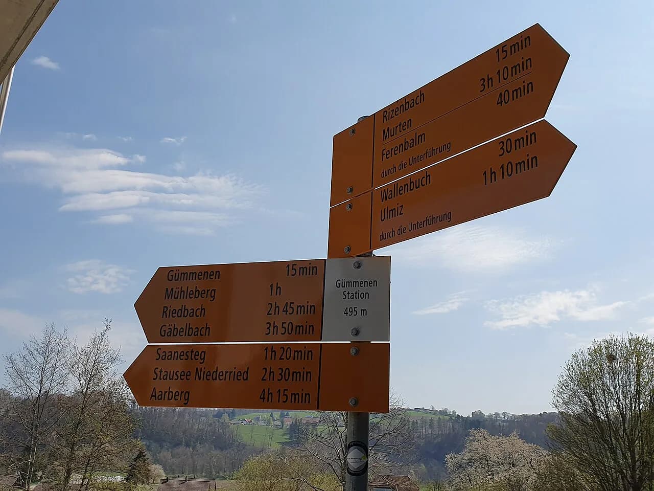
Waymarking on Swiss trails is reliable, and junctions are signed with destinations and walking times. Carry a paper map or an offline phone map anyway, because signposts are easier to follow than they are to interpret when the cloud comes down.
The main risk on these walks is not technical difficulty but footing: wet rock on the Aletsch route, a slippery lake path, a steep descent on tired legs. Walking poles help on the long downhill stretches, and sturdy boots are more important than anything else in your pack.
Exposure is the other factor. The Männlichen traverse and the Aletsch route both cross open ground with little shelter, so windproof layers and a warm hat belong in the daypack even in August.
Where Beginner Hikes Get Busy
Oeschinensee and the Männlichen panorama are the two busiest days on this list, and both fill up on summer weekends and in the school holidays. Starting on the first lift of the morning gets you ahead of the crowds and leaves the afternoon free to relax.
For a quieter day, choose the Aletsch route or the Mürren to Gimmelwald walk on a weekday, when the villages are calm and the paths are open. If you want climbing rather than walking, the graded routes on the Via Ferrata Mürren-Gimmelwald are a step up in difficulty and worth reading about before you commit.
Plan Your Beginner Swiss Hike
Pick one village as your base, one easy walk for your first day and one bigger glacier or lake day once your legs have adjusted. Wengen and Mürren cover the Bernese Oberland classics, while Kandersteg or Fiesch give you the lake and glacier days without too much moving around.
If you want more of these routes strung together, the hut to hut hiking switzerland guide explains how mountain huts are booked and what a night on the mountain adds to a trip.
Frequently Asked Questions
How difficult is the Aletsch Glacier Trail for a beginner?
It is a moderate route, rated medium for both technical and physical demands: 12 km (7.5 mi), 510 m (1,674 ft) of ascent, 630 m (1,970 ft) of descent and about 3 h 45 min of walking. The path is carved into rock and crosses the Grosses Gufer glacier, so you need surefootedness and a head for exposure. It runs from July to October from the Moosfluh upper station to Fiescheralp.
What is the easiest glacier hike in Switzerland?
The Aletsch Glacier Trail is the most straightforward glacier day for a fit beginner, because a cable car climbs to Moosfluh and a second one descends from Fiescheralp, leaving only the walking in between. The season runs July to October. Wear boots with grip and bring a warm layer, because the route crosses open ground beside ice.
Do you need a guide to hike in Switzerland?
No guide is needed for the waymarked walks described here. The Mürren to Gimmelwald path, the Männlichen panorama and the Oeschinensee loop follow signed trails, and the Aletsch route is waymarked too, though its rock-cut sections demand surefootedness. A guide is worth it if you want to try via ferrata terrain or move onto unmarked high routes.
When do the cable cars and gondolas run for hiking season?
The Aletsch lifts serve the hiking season from July to October for the glacier trail, and most mountain lifts in the Bernese Oberland run through the summer into early autumn. Dates vary by lift and by year, so check the board at the base station before you build a day around a particular ascent.
Sources
Trail notes for your next trip
Optional updates when we add or revise hiking guides.
You might also like
Continue reading
More guides you'll find useful