Old Harry Rocks Walk: Studland Circular Route Guide
Walk from Studland to Old Harry Rocks and Ballard Down on a 6.5 km (4 mile) loop, with parking, route steps, terrain and coastal views along the way.
On this page
The Old Harry Rocks walk packs chalk sea stacks, a cliff-top climb and a high downland ridge into a half-day loop from Studland on the Isle of Purbeck. It suits hikers who want a short but varied outing with big coastal views and a pub or beach at the finish, rather than a full day in the hills. If you are weighing up this short coastal loop against longer days elsewhere in the region, hiking in Cornwall offers more sustained coast path sections by comparison.
The route climbs steadily from the village to Handfast Point, where the chalk stacks stand offshore, then turns inland over Ballard Cliff and Ballard Down before dropping back to Studland. Most of the climbing comes in the first half, and the descent toward Glebeland Estate is the steepest section.
Old Harry Rocks and Ballard Down: what the walk delivers
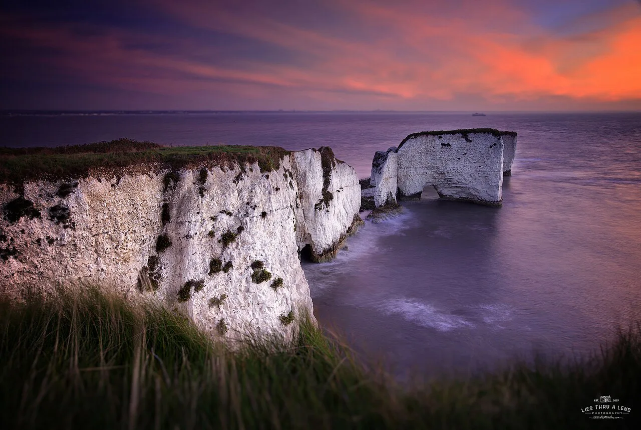
Old Harry Rocks are a line of chalk stacks reaching into the sea from Handfast Point, the eastern end of the Jurassic Coast. They once formed part of a chalk ridge that linked Purbeck with the Isle of Wight, and The Needles on the island are the surviving counterpart on the other side of the water.
The second half of the loop is quieter than the rocks themselves. Most visitors turn around at the viewpoint, so the climb over Ballard Cliff and the crossing of Ballard Down usually leave you with the ridge and its views to Swanage Bay and Poole Harbour largely to yourself.
Where the walk starts: South Beach car park and Studland village
The loop begins and ends at South Beach car park in Studland (BH19 3AU). Parking there is paid, and National Trust members park free; it costs £5 for four hours or £7 all day. Road parking near the village is limited, so arriving early is the practical choice.
From the car park, walk down the road past the Bankes Arms pub. At the bottom of the hill you pass the beach path and a white brick building housing public toilets, and the gravel track for Old Harry Rocks starts beside it.
The National Trust publishes the same circular walk from South Beach, and its page is the place to confirm the car park arrangement and any trail notices before you travel.
Distance, ascent, time and terrain at a glance
The circuit covers 6.5 km (4 miles) with about 201 m (660 ft) of ascent, and the route guide allows 1.5 to 2 hours of walking. That timing assumes steady progress with short pauses; add time for the viewpoints at the stacks and on Ballard Down.
The surface changes constantly: dirt and loose stone paths, grass tracks, and short stretches of country road with no pavement. There are no stiles and only one kissing gate, which can be avoided by returning down Watery Lane instead of through the churchyard.
Treat the grade as easy to moderate. The climb is mostly gentle but sustained, and the descent toward Glebeland Estate is noticeably steeper, which matters on loose gravel after rain.
Route description: car park to Old Harry Rocks
Turn left onto the gravel and stone track beside the toilets and follow it uphill through a tunnel of trees. As the path emerges, views open across Poole Harbour toward Bournemouth on your left. Allow roughly 20 minutes for the mile to the rocks.
About 15 minutes up, a small wooden post warning of the cliff marks a hidden left-hand spur that leads to a first view of the stacks. The main path continues to a grassy headland where Old Harry Rocks stand ahead of you, with the Isle of Wight visible across the water.
The chalk stacks at Handfast Point and the Pinnacle Stack
Spend time walking the headland to see the stacks from different angles, watching for seals and seabirds below the cliffs. The chalk is soft and undercut, so keep well back from the edge above the stacks rather than approaching for a closer view.
Leave the headland on the grass track climbing the far side with the sea on your left, and after about 15 minutes you reach a wooden gate. Turn here for the view of the Pinnacle Stack, then take the path left of the gate rather than passing through it.
Ballard Cliff and the Purbeck Way junction
Climb straight uphill with the fence on your right and the sea on your left, following the Dorset Council footpath waymarker. At Ballard Point the coast path bends right, and Swanage appears across the bay ahead.
This spot is the end of the Purbeck Way, a 27¾-mile long-distance trail from Wareham that finishes at Ballard Down. Follow the stone marker for the Coast Path and keep on the gravel track as it climbs over the back of Ballard Cliff.
The South West Coast Path carries on along this stretch of coast in both directions, so you can link the headland into a longer linear day if you have transport at both ends.
Across Ballard Down: barrows, gates and the Rest and Be Thankful bench
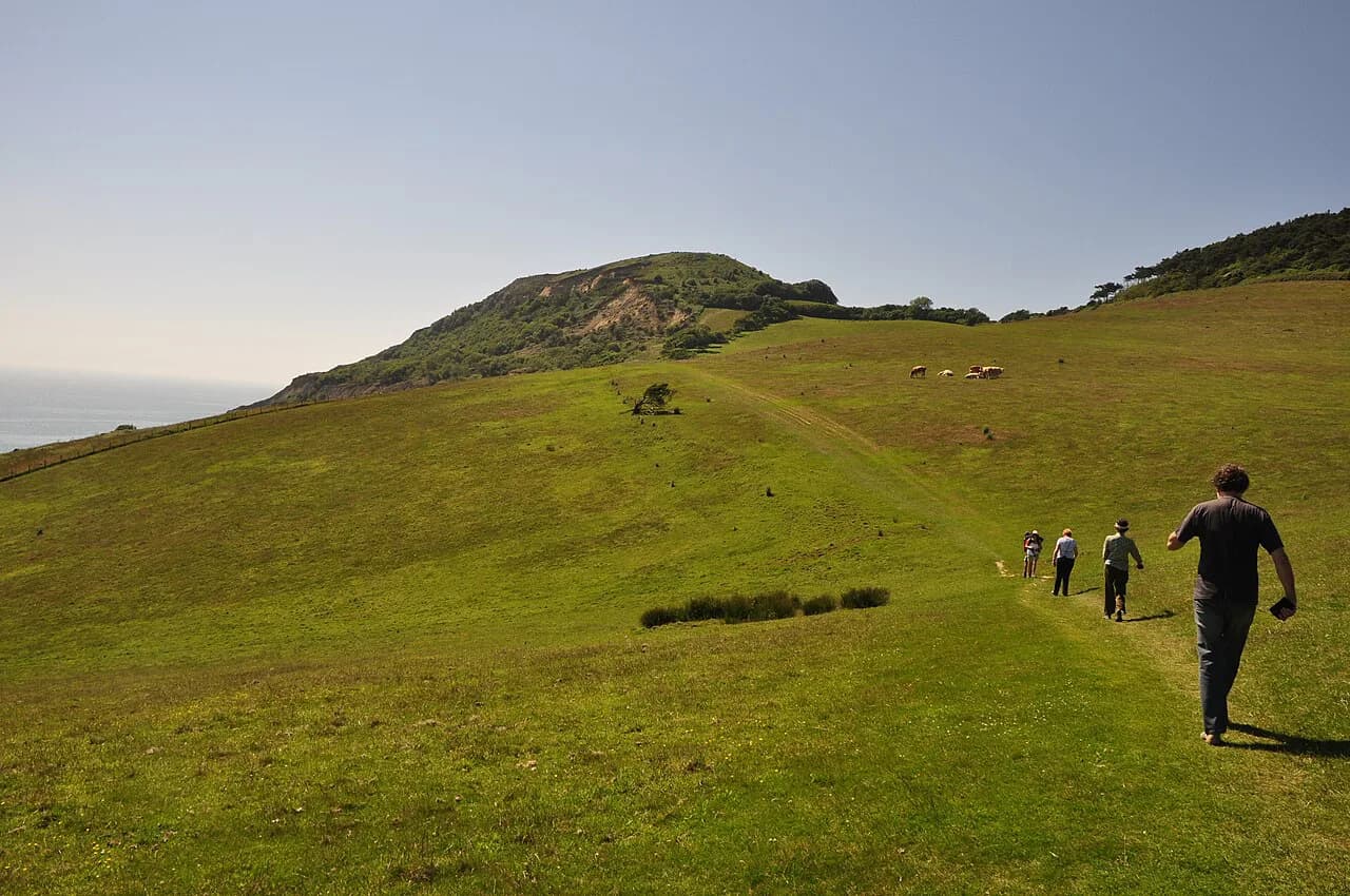
Climb toward a second wooden gate with Swanage Bay behind you, pass the stone monument at the entrance to Ballard Down, and follow the gravel then grass track straight across the open downland. Two Bronze Age burial barrows marked by arranged stones sit just inside the gate.
Ignore the coast path and Purbeck Way where they drift left and climb past a stone Ulwell marker beside a windswept tree. Near the top, a crossroads of grass tracks holds an old stone bench inscribed Rest and Be Thankful, dated 1852.
Facing the bench, turn right and follow the grass track diagonally downhill toward the hamlet of Glebeland Estate. Navigation is the weak point of this loop: the route is not signposted throughout, so the bench, gates and markers are your cues.
Descent to Glebeland Estate and back via Studland Church
The path becomes a road past the Glebeland Estate chalets, once a WWII army camp, and continues downhill with the sea ahead. Keep straight through the junctions until the crossroads beyond Manor Farm Tearooms.
At the crossroads, follow the white-painted four-way sign pointing to the church and walk the short lane to Studland Church. Take the path left of the church, cut right across the churchyard to a metal kissing gate, and follow the dirt track down to the car park.
Best months and the chalk grassland through the season
The walk works in any season, but the chalk grassland above the cliffs is at its best in late spring and summer, when buttercups and kidney vetch flower across the slopes. Autumn brings clearer light for the views across to the Isle of Wight, and winter is quieter though muddier underfoot.
Summer weekends bring the biggest crowds at the rocks themselves, mostly between late morning and mid-afternoon. Starting early or late in the day gives you the viewpoints in calmer conditions and leaves the rest of the loop quiet as usual.

Exposure, cliff edges and uneven ground
The chalk stacks and Ballard Cliff are exposed, crumbling edges, and the undercut sections can give way; stay on the path and keep back from the rim when you photograph the stacks. Wind on the headland is stronger than in the village, so a layer helps even on mild days.
Loose stone on the descents and grass tracks slippery after rain are the main footing hazards, and the road stretches have no pavement, so walk facing traffic where you can. The route is not waymarked at every turn, so carry the map and keep the named landmarks in mind.
Food, drink and a post-walk swim in Studland
The Bankes Arms near the start has a beer garden for warm days and log fires in winter, and Joe's Cafe on the beach serves snacks and local ice cream. For something smarter, The Pig on the Beach sits nearby.
South Beach makes an easy finish, with a sheltered swim on a calm day; the path down to the sand starts just before the public toilets you passed at the beginning.
Extending the day: The Obelisk and the Purbeck Way
Instead of turning downhill at the Rest and Be Thankful crossroads, you can continue on the grass track to The Obelisk, a small stone tower built in 1883, then loop round to the B3351 road and follow it back to Studland. This adds a couple of miles and a stretch of road walking, so it suits you only if you have time and daylight to spare.
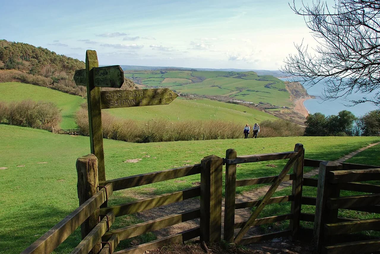
A longer option is to follow the Purbeck Way or the coast path in one direction and arrange a pick-up. Hikers building a Dorset itinerary often pair this short loop with the Golden Cap Walk further west along the same coast, where the climbing is more sustained.
Plan Your Visit
Plan the loop for a morning start from South Beach car park, carry water and a layer for the exposed headland, and allow two hours of walking plus time at the stacks and on Ballard Down. The route gives you a coastal cliff section, a chalk downland ridge and a village finish without committing a whole day.
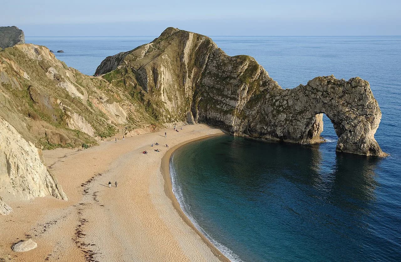
If you want a softer introduction to Purbeck's chalk coast before tackling bigger days, this is the one to walk first; the shorter Durdle Door Walk from Lulworth Cove makes a good second outing on the same stretch of coast.
Frequently Asked Questions
Can you walk on Old Harry Rocks?
No. The chalk stacks stand offshore from Handfast Point and are seen from the headland path. Walk around the grassy clifftop for views from different angles, but keep well back from the undercut edge above the stacks.
How long is the walk from the car park to Old Harry Rocks?
It is about one mile from South Beach car park to the rocks, roughly 20 minutes of uphill walking through the trees. The full circular route back through Ballard Down covers 6.5 km (4 miles) and takes 1.5 to 2 hours.
What is the shortest way to walk to Old Harry Rocks?
The shortest approach is the out-and-back from South Beach car park along the gravel track beside the public toilets, which reaches the headland in about 20 minutes. It skips Ballard Down, but it is the quickest way to see the stacks.
How do I get to Old Harry Rocks?
Drive to South Beach car park in Studland (BH19 3AU) and walk down past the Bankes Arms to the track beside the toilets. The car park is paid, with free parking for National Trust members; the National Trust page for the Studland walk has the current details.
Is the Old Harry Rocks walk signposted?
Only in parts. A few waymarkers and signs appear on the route, but the full loop is not signposted throughout, so follow the named landmarks such as the white toilet block, the wooden gates, the Rest and Be Thankful bench and Studland Church.
Where do you park for the Old Harry Rocks walk?
South Beach car park in Studland is the practical base, with paid parking that is free for National Trust members. Road parking in the village is limited, so an early arrival gives you the best chance of a space in busy periods.
What is the terrain like on the Old Harry Rocks walk?
Expect uneven dirt and loose-stone paths, grass tracks and short stretches of country road with no pavement. The climbing is steady rather than steep, but the descent toward Glebeland Estate is the sharpest gradient on the route.
Sources
Trail notes for your next trip
Optional updates when we add or revise hiking guides.
You might also like

Continue reading
More guides you'll find useful