South West Coast Path Dorset: Plan Jurassic Coast Walks
Plan the Dorset stretch of the South West Coast Path from Lyme Regis to South Haven Point, with Golden Cap, the Isle of Portland loop and seasonal advice.
On this page
The Dorset coast gives you the South West Coast Path at its most varied: red cliffs and slumped undercliffs around Lyme Regis, the high chalk ridge of Golden Cap, the long shingle sweep of Chesil Beach and the limestone edges of the Isle of Portland. It suits through-walkers finishing the National Trail as much as day hikers who want one big climb or a full island circuit. If you are weighing this stretch against the county next door, hiking in Cornwall offers another long run of coastal path days to compare.
Dorset is the final county on the route, and the path stays close to the sea almost the whole way, which means repeated short, sharp climbs rather than long mountain passes. Plan on slower days than the map suggests, because cliff-top ascents and descents come in quick succession and the ground is often rocky.
Why the Dorset section suits through-walkers and day hikers
The official South West Coast Path runs for 630 miles (1,014 km) from Minehead in Somerset to South Haven Point in Dorset. That figure is an approximation: erosion forces frequent diversions and permanent reroutes, and walking to and from accommodation, food stops and viewpoints adds distance. One end-to-end walker measured 742 miles (1,194 km) over 49 walking days, so budget more than the official number suggests.
Within Dorset, the same logic applies at a smaller scale. Most days on this stretch involve several valley descents and climbs, and few are flat, so a 12-mile (19 km) day here can feel harder than a longer day on gentler ground. Through-walkers should keep daily distances conservative for the first few days in the county.
Day hikers have an advantage the through-walker does not: they can pick the dramatic sections and skip the connecting miles. Lyme Regis, Seatown, Abbotsbury, Weymouth and the Isle of Portland all work as bases, and village-to-village walks let you use buses or a second car to shorten the return. The range of Jurassic Coast walks covers options on either side of the county boundary.
Where the Dorset section starts and finishes
The path crosses from Devon into Dorset just before Lyme Regis, coming east from the Devon section at the Axmouth and Seaton end of the undercliffs. Lyme Regis is the first Dorset town on the route and the practical entry point for anyone starting the county on foot or by public transport.
The trail finishes beside a small metal sculpture at South Haven Point, at the end of Knoll Beach and across the harbour from Poole. Knoll Beach sits within Studland, so the finish is easy to reach by ferry from Poole or Sandbanks in season and by bus or car along the Studland road. The Isle of Portland circuit joined the route in 2003, producing the current 630-mile approximation.
Most people walk from Minehead toward South Haven Point, keeping the sea on their right. Walking the other way is fully waymarked in both directions, but with the prevailing southwesterly wind you will spend more time heading into it. For the Dorset stretch, that means Lyme Regis to South Haven Point rather than the reverse.
Getting to the Dorset trailheads by train, bus and car
Lyme Regis has no railway station of its own; the nearest railheads are Axminster to the north and, further east, Dorchester and Weymouth, with bus connections into the town. Weymouth is the transport hub for the middle and eastern parts of the Dorset coast, with rail links onward and buses along the coast to Portland and the villages behind Chesil Beach.
Public transport along this coast is a patchwork of routes run by different operators, and Sunday and winter services thin out considerably. Several stretches have no bus connecting the start and end of a day's walk, so plan a there-and-back route or arrange a pickup where the timetable does not work.
By car, the coastal villages have small car parks that fill early on summer weekends, and parking in Lyme Regis and Weymouth is easiest before mid-morning. For one-way days, leave a car at each end or use the seasonal buses that link the main coastal towns; check the current timetable with the relevant operator before committing to a tight connection.
Stage by stage: Lyme Regis to Seatown beneath Golden Cap
Leaving Lyme Regis eastward, the path climbs above the town and follows the undercliffs and cliff tops toward Charmouth before turning inland and up onto the higher ground behind the coast. The stretch through the undercliffs is unstable ground, and the official route is diverted onto the cliff-top path where landslips have taken out the lower line.
From Charmouth the route heads east across a series of steep combes, the short valleys that give this coast its repetitive up-and-down character. Each combe means a descent to a stream and a climb back out, so the day's total ascent adds up quickly even though the cliff tops stay low.
The stage ends at Seatown, a small hamlet at the foot of Golden Cap with a pub and access to the beach. Seatown is the natural base for climbing Golden Cap, because the summit path starts from the village and gives the shortest approach to the highest point on the south coast. The Golden Cap walk sets out that climb in detail.
The Golden Cap climb: distance, ascent and the trade-off in either direction
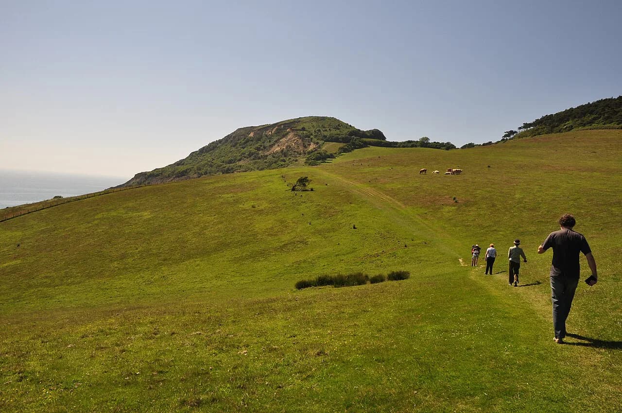
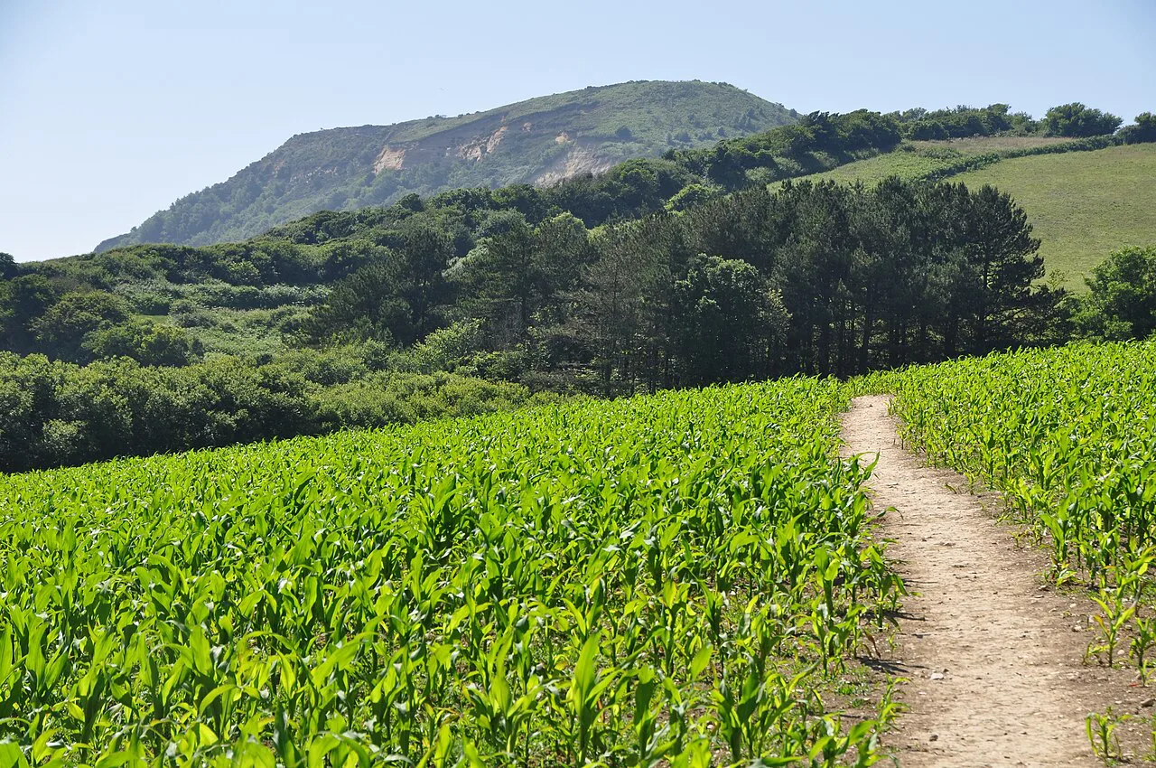
Golden Cap is a chalk ridge above Seatown and the highest point on the south coast of England. The climb from Seatown is short but steep, gaining height quickly through woodland and then open grass before the summit ridge. Allow more time than the distance suggests, because the gradient is relentless and the clay and chalk surface is slippery after rain.
Direction changes the character of the day. Approaching from Seatown gives the shortest, sharpest ascent and the quickest reward; coming along the coast path from Charmouth or Eype spreads the climb over more distance but adds the combe climbs as well. Whichever way you go, the summit opens views along Lyme Bay toward Portland on clear days, which is the reason most people make the climb.
Golden Cap sits on the coast path itself, so through-walkers cross it as part of the Lyme Regis to Seatown stage rather than as a detour. Day hikers based in Seatown can climb and return in a half day, then use the beach and pub for the rest of the afternoon.
Stage by stage: Seatown to Abbotsbury and on to Weymouth
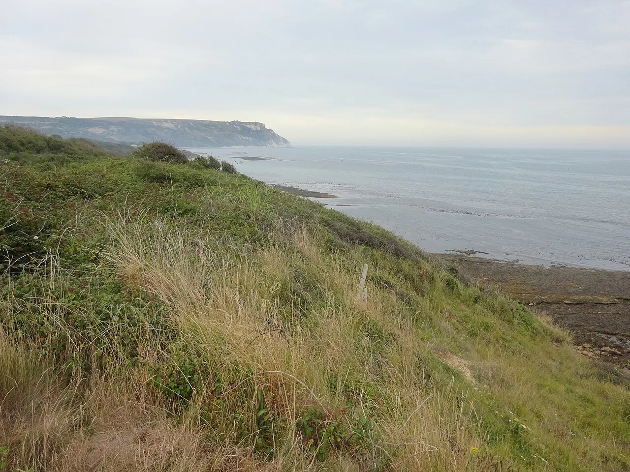
East of Seatown the path continues over Eype Down and past West Bay, where the cliffs of East Cliff and the broad shingle beach mark the transition toward the Chesil Bank. From West Bay the route runs behind the beach toward Abbotsbury and the Fleet, the lagoon behind Chesil Beach that shelters a large swannery and a network of footpaths.
The Fleet and Chesil Beach are the defining features of this middle stretch: a long shingle barrier on one side and calm lagoon water on the other. The path here is flatter than the combe country to the west, though walking on shingle is slow and tiring compared with turf, so keep distances modest if you plan to move along the beach itself.
Continuing east, the route reaches the Wyke Regis and Ferrybridge area before crossing to the Isle of Portland and the edge of Weymouth. Weymouth is the largest town on the Dorset stretch and the best place to restock, eat properly and pick up anything you have run out of before the final days to South Haven Point.
The Isle of Portland circuit and what the island adds to the route
The Isle of Portland is a limestone island joined to the mainland by Chesil Beach, and the coast path loops right around it. The official Portland walk describes a long but rewarding circuit that takes in the island's quarries, coves, lighthouses and clifftops, and it works as a standalone day out as well as a stage on the longer trail.
The circuit is exposed almost throughout. The island's edges are cliff and quarry, the wind rarely drops, and there is limited shelter between the villages, so carry water and a windproof layer even on a fine forecast. The walking is not technically difficult, but the combination of distance and open ground makes it a full day.
Portland adds something the mainland coast does not: a self-contained loop with a clear start and finish at the Ferrybridge causeway, so you can walk it without arranging transport at either end. It also breaks the final stretch to South Haven Point into manageable pieces for through-walkers.
Distance, ascent and walking time across the Dorset stages
The Dorset stretch is short in national-trail terms but demanding in elevation. Across the whole 630-mile route, the cumulative climbing is famously large despite the path never rising above about 1,044 feet (318 m), and that ratio of climb to height holds here too: the coastal combes and Golden Cap add up over a few days even though no single summit is high.
Split the county into four or five days if you are walking through: Lyme Regis to Seatown, Seatown to West Bay or Abbotsbury, the Fleet and Chesil Beach to Weymouth, the Isle of Portland circuit, and the final leg to South Haven Point. Each is a realistic day for a reasonably fit walker carrying a pack, and each can be shortened by using village buses where they run.
Walking time depends heavily on underfoot conditions. Turf and firm track allow a steady pace; shingle, wet clay and the rocky sections slow you considerably. Add time for the Golden Cap climb and for the Portland loop, and plan the shorter days early in a multi-day outing while your legs are still fresh.
Accommodation, food and resupply along the Dorset coast
Lyme Regis, Charmouth, Seatown, West Bay, Abbotsbury, Weymouth and the villages on Portland all offer places to stay and eat, with Weymouth providing the widest choice and the easiest resupply. Book ahead between late spring and early autumn, when the coast is busiest and the campsites and B&Bs near the path fill first.
Baggage transfer services operate on the South West Coast Path as a whole, and using one turns the Dorset stretch into a series of day walks with a light pack. Prices and coverage vary by operator and season, so ask the carrier directly whether they cover Lyme Regis to South Haven Point and how far in advance they need your booking.
Cafes and pubs are concentrated in the villages, and the gaps between them can be long. Carry a day's food and water between Lyme Regis and West Bay and along the Fleet, where the settlements are small and the path passes few shops. Through-walkers should treat Weymouth as the main resupply point before the final stages.
When to go: best months and weather on this exposed coast
The walking season on the Dorset coast runs roughly from April through September, when the vast majority of people use the path. Late spring and early autumn give the best balance of settled weather, longer daylight and fewer crowds than midsummer, while July and August bring the warmest conditions and the busiest villages.
This is an exposed coast, and wind is a constant factor: the prevailing southwesterlies mean you will often walk into weather moving up the Channel. Rain arrives quickly and the clay and chalk paths become slick, so carry a waterproof shell and footwear with grip whatever the forecast says. Summer heat, combined with the repeated climbs and rocky ground, is enough to cause blisters in the first days of a long walk.
Outside the main season, daylight shortens and some coastal buses and cafes cut their hours, which makes the county harder to link together without a car. If you want the path quieter, late April and early October are the practical choices, with the caveat that services may already be on a reduced timetable.
Hazards on the Dorset cliffs and coast path
Cliff erosion is an active process on this coast, and the undercliffs between Lyme Regis and Charmouth are the most obvious place to see it. Follow the marked route rather than informal paths along the cliff edge, and do not stop beneath overhanging cliff faces, where rock falls are possible.
The climbs and descents are short but repeated, which is a different kind of strain from a single mountain day: knees and feet take the cumulative load. Use poles on the steep combe descents, keep descending backwards on the loosest sections if you need to, and shorten a day rather than pushing through on blisters, since the next stage is unlikely to be flatter.
On Portland, the quarry edges and unfenced clifftops demand attention, especially in wind and low cloud. Keep back from the edge, take the marked paths between the quarries and coast, and treat the exposed final miles to the lighthouse as the place to slow down rather than race the light.
The path along Chesil Beach and the Fleet passes shingle and water where conditions change with the tide and weather. On hot days the shingle reflects heat and there is little shade, so start early and carry more water than you think you need for the stretch between Abbotsbury and Weymouth.
Walking just a day or a weekend on the Dorset path
A weekend based in Lyme Regis can combine the undercliffs and Charmouth with the Golden Cap climb from Seatown, using the coastal bus or two cars to link the ends. This gives you the two most distinctive landscapes in west Dorset without committing to the flatter middle section.
A weekend based in Weymouth works better for the eastern half: one day on the Isle of Portland circuit, one day along the Fleet or out to South Haven Point via the Studland ferry. The Portland loop is the strongest single day because it is a complete circuit with no transport to arrange beyond getting to the causeway.
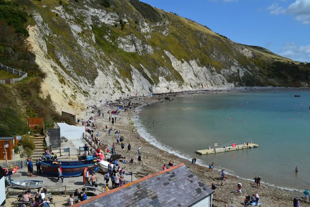
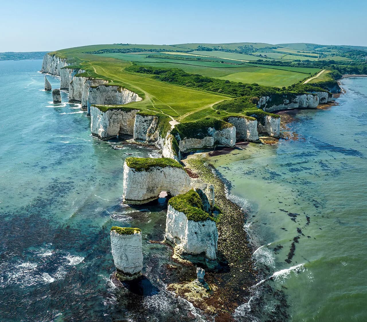
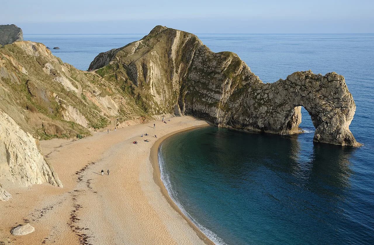
Dorset's other Jurassic Coast walking is easily added if you have a longer trip: the chalk arch at Durdle Door and the clifftop paths around Lulworth Cove sit just west of the county boundary, and are worth a separate day.
Planning Your Dorset Stages
Treat the Dorset stretch as four or five days rather than a quick sprint: Lyme Regis to Seatown, Seatown to West Bay or Abbotsbury, the Fleet to Weymouth, the Portland loop and the final leg to South Haven Point. Build in a rest day at Weymouth and plan the Golden Cap climb for a clear morning, since the summit view is the point of the detour.
Check bus times for the specific villages you plan to use before you book accommodation, because service on this coast is patchy and not every stage has a connecting route. For the wider coastline beyond Dorset, the Jurassic Coast walks guide shows how the National Trail and the inland paths fit together.
Frequently Asked Questions
Where does the South West Coast Path enter and leave Dorset?
The path crosses into Dorset just before Lyme Regis, coming east from the Devon undercliffs, and finishes beside a small metal sculpture at South Haven Point at the end of Knoll Beach, across the harbour from Poole.
How long is the Dorset section of the South West Coast Path?
The National Trail is 630 miles (1,014 km) in total, and Dorset accounts for the final part of it from the Devon border to South Haven Point. The official distance is an approximation because erosion diversions and off-trail walking add miles, so plan on longer days than the map suggests.
How long does it take to climb Golden Cap?
The climb from Seatown is short but steep, gaining height quickly through woodland and grass before the summit ridge, and the surface is slick after rain. Walkers usually treat it as a half-day objective from Seatown, with extra time on the descent.
What is the hardest part of the South West Coast Path?
The Hartland Quay to Bude stretch in Devon and Cornwall is generally regarded as the hardest day, with ten steep valley descents and climbs in about eight miles. Dorset is less extreme but still repeats short, sharp combe climbs throughout.
Can you walk the Isle of Portland circuit as a day hike?
Yes. The Isle of Portland loop is a full day on its own, starting and finishing at the Ferrybridge causeway, and it takes in the island's quarries, coves, lighthouses and clifftops. The circuit is exposed throughout, so carry water and a windproof layer.
When is the best time to walk the Dorset coast path?
Late spring and early autumn give the best balance of settled weather and quieter villages, while July and August are warmest and busiest. Coastal buses and cafes reduce their hours outside the main season, which makes linking stages harder without a car.
Where can you resupply on the Dorset stretch?
Lyme Regis, Charmouth, West Bay, Abbotsbury, Weymouth and the villages on Portland all have food and accommodation, with Weymouth offering the widest choice. The gaps between them can be long, especially around the Fleet, so carry a day's food and water.
Is the South West Coast Path waymarked through Dorset?
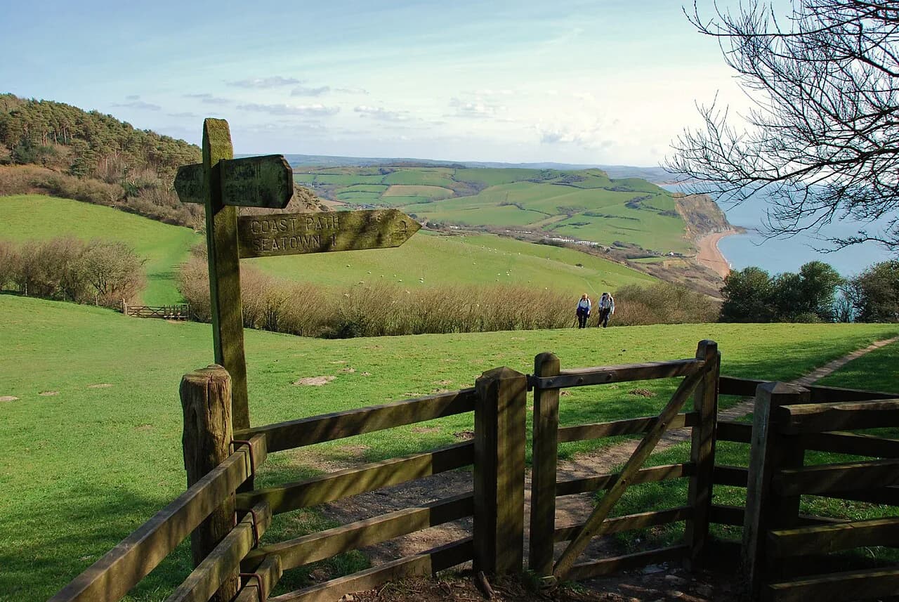
Yes. The path is waymarked in both directions with the National Trail acorn symbol, and signs have been added or replaced as part of the King Charles III England Coast Path project. Carry a map or app anyway, because city sections and recent diversions are the easiest places to lose the line.
Sources
Trail notes for your next trip
Optional updates when we add or revise hiking guides.
You might also like

Continue reading
More guides you'll find useful