Via Alpina: Planning a Hut-to-Hut Trek Across the Alps
The Via Alpina is five long-distance routes linking eight Alpine countries. Plan the Swiss crossing, its passes, stages, huts and short summer season.
On this page
The Via Alpina suits hikers who want a multi-week traverse rather than a single summit day. It is not one path but a network of five routes across the eight countries of the Alpine region, together stretching more than 5,000 km (3,100 miles) with 342 daily stages. That scale means you choose a route and a section, then plan huts, passes and transport around it.
Most English-language trekkers mean the Swiss east-west crossing, formerly called the Alpine Pass Route, which runs from Sargans to Montreux. It is the route this guide covers in detail: roughly 349 km (219 miles) over 18 stages, with about 19,960 m (65,485 ft) of ascent and a high point just over 2,800 m (9,180 ft). If you are still choosing between European long trails, compare it with the best hikes in europe at a similar length, like the GR20 or the Camino, before committing three weeks.
The five trails and how to choose one
The Via Alpina network links Slovenia, Austria, Germany, Liechtenstein, Switzerland, Italy, France and Monaco. The official site presents the routes as a set of stages, each a day's walk between places to sleep, so you can hike a single stage, a week or an entire route. Choose by country and season first: a route through the northern limestone Alps behaves differently from one in the western crystalline Alps.
Five color-coded routes make up the network, and they are not interchangeable. The red route is the long central traverse from the Slovenian Alps toward the Mediterranean; the others run as connecting and thematic alternatives through different chains. Read the stage lists on the official site and pick the route that fits your available weeks and the huts that are open in your window, not the one with the most attractive name.
The Swiss Via Alpina crossing: Sargans to Montreux
The Swiss crossing is a point-to-point trek from Sargans in the east to Montreux on Lake Geneva. Its rhythm is simple: cross a pass each day, descend to a valley village, sleep, repeat. The route passes glaciated peaks including the Wildstrubel and the Eiger, Mönch and Jungfrau, and it stays on trekking terrain throughout, with no glacier walking or rock climbing.
The crossing is usually done over 18 stages, and the full route is well over 300 km. Alpine Exploratory gives about 349 km (219 miles), about 19,960 m (65,485 ft) of ascent, and a high point just over 2,800 m (9,180 ft), with three passes above 2,300 m. Those figures describe the complete Sargans-Montreux line, not a shortened week, so plan your daily distances from the official stage list rather than dividing the total evenly.
Distance, ascent and time on the Swiss route
Most trekkers need two to three weeks for the full crossing, walking most days with a rest day or two. Daily distances are relatively even for a route of this length, but the terrain varies sharply: forest paths and meadow tracks in the valleys, then loose rocky paths and steps above. Treat the total ascent of nearly 20,000 m as the real measure of effort, not the distance alone.
A realistic day on the higher passes is a full day out, often starting early to cross before afternoon weather builds. If you have one week, the central section from Engelberg to Kandersteg contains the highest ground and builds steadily to the hardest day. Walking the full route in three separate weeks is a common way to spread the effort.
The highest passes: Hohturli, Sefinafurgga and the rocky cols
The Hohturli at 2,778 m (9,114 ft) between Griesalp and Kandersteg is the highest pass on the Swiss route. The Sefinafurgga at 2,612 m (8,570 ft) and the Hohturli are the two hardest crossings, with ascents and descents over loose shale and scree. Wooden steps on the Sefinafurgga and on the climb to the Hohturli give solid footing, but the angles are steep and call for a good head for heights.
From the Hohturli a short detour climbs to the Blüemlisalphütte at 2,834 m (9,300 ft), in effect the trek's high point. The descent toward Oeschinensee is hard walking on rocky paths, including a stretch along the crest of a lateral moraine, with substantial drops to the side. In bad weather, judge whether to cross the pass or descend to a train and bus around it; skipping a pass by public transport is a normal choice, not a failure.
Walking the Bernese Oberland section
The Engelberg to Kandersteg week is the most spectacular and the most demanding part of the Swiss route. It includes the Hohturli and the Sefinafurgga, so the difficulty builds right up to the last day. The stage from Grindelwald to Wengen crosses the Kleine Scheidegg beneath the north face of the Eiger, mixing high mountain scenery with the busy tourist traffic around the railway.
Not every pass is rocky: the Grosse Scheidegg at 1,962 m (6,437 ft) is grassy and gentler, and by choosing lower cols you can link three or four consecutive days without technical ground. If you want exposure to the big peaks without committing to the hardest crossings, use the villages as bases and walk selected stages. Treat afternoon thunderstorms as the main summer hazard on these open crossings.
The western stages: Gstaad, l'Etivaz and Rochers de Naye
The western end of the Swiss route is gentler and more undulating, crossing grassier passes through the Gstaad and l'Etivaz area. The route here has shifted in recent years: local Swiss Alpine Club authorities have moved sections toward Gstaad and l'Etivaz rather than the older line via Lauenen and Col des Mosses. Follow the current official stage list rather than an older guidebook, and use villages like Gstaad and Château-d'Oex as overnight stops where the stages allow.
The finale is the ascent of the Rochers de Naye above Montreux, a peak that looks down over the lake and can also be reached by mountain railway. That means you can walk up and ride down, or shorten the day if the weather turns. From Montreux, train connections back to the start at Sargans and onward to Geneva or Zurich airports are straightforward.
Getting to the start and back from the finish
Both ends of the Swiss crossing sit on the national rail network. Sargans is a railway junction in eastern Switzerland, and Montreux is on the Lake Geneva line, so you can arrive by train without a car and return the same way. This makes a one-way crossing practical: leave the car at home, and book a rail ticket from your arrival airport to Sargans for the first night.
In the valleys, Swiss postbuses and trains connect villages and lift bases, so most stages can be shortened or skipped if weather or fatigue intervenes. Check the specific connections for your chosen stage on the national rail timetable once your itinerary is fixed. For a completely different long walk later, the camino de santiago offers a waymarked route with far more accommodation and a much longer season.
Huts, hotels and half-board on the route
The Swiss route is usually walked between village hotels, with mountain huts as an option rather than the default. Swiss huts, whether privately owned or run by the Swiss Alpine Club, follow a common pattern: dormitories, sometimes a few private rooms, food from the counter by day and a set half-board menu in the evening. Building huts into the itinerary gives you more flexibility on the longer stages.
Book village accommodation ahead in July and August, when the summer walking trade fills the resorts that double as winter ski towns. Book hut beds directly with the hut, and check the current season and booking system with that hut, since opening dates vary. The Via Alpina site also carries responsible-bivouacking guidance for the network as a whole.
Waymarking and navigation
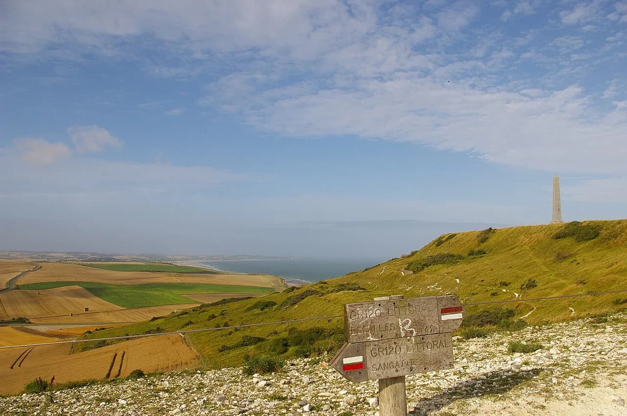
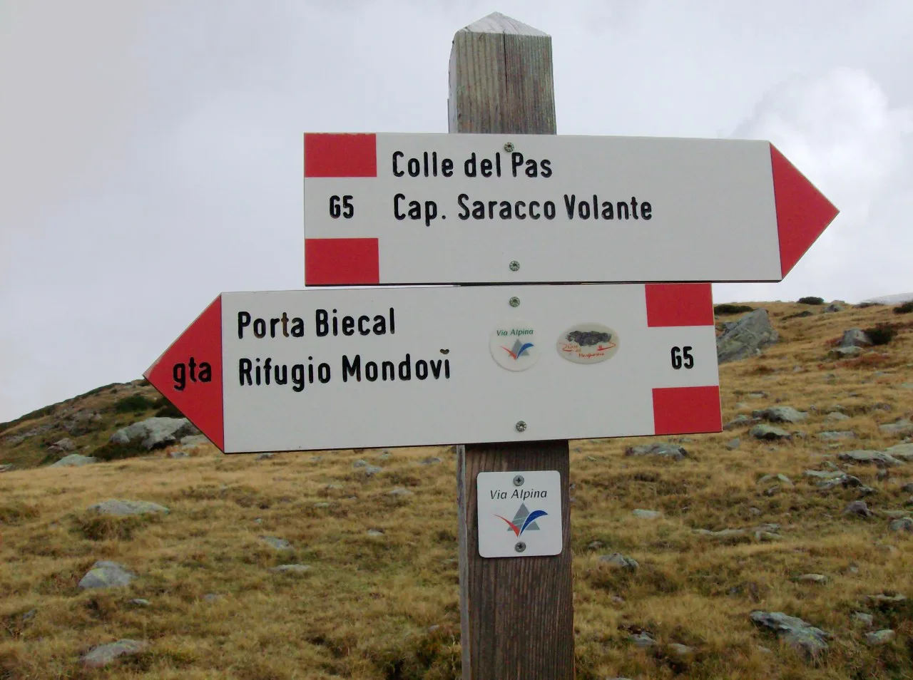
Swiss paths are well waymarked with red-and-white paint flashes and yellow signposts giving estimated times, but there is no official Via Alpina sign on the ground. Instead you follow the day's destination, often the village or pass on the other side, and signage may only name the pass until you reach it. Carry a map and compass and know how to use them, because a waymark shows you are on a path, not which path it is.
When to go: the mid-July to mid-September season
The practical season for the high Swiss crossing runs from mid-July to mid-September. The start is set by late-spring snow lingering on the higher passes into July, and the end by the greater chance of the weather breaking down in late September. Plan your dates inside that window and keep a spare day for a weather hold.
Snow can fall in any summer month, often just a light coating on the highest passes that clears in a day or two, but sometimes deeper and lingering. Under snow, ground features vanish and navigation becomes the main challenge. A good response is to carry the map and compass, ask locally about conditions on the pass ahead, and be ready to take the valley transport around a pass.
Weather, snow and exposure on the cols
The main hazards are loose scree on the big descents, exposed ground with substantial drops, and summer afternoon storms on open passes. Some sections have metal cables as handrails on otherwise normal walking terrain. Start early on pass days, and turn around or reroute when visibility closes in rather than pressing on to keep a schedule.
How the Via Alpina compares with the TMB and Walker's Haute Route
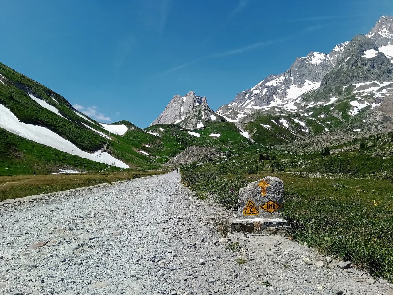
The Tour du Mont Blanc is about 180 km (110 miles) over 11 stages with about 10,700 m (35,000 ft) of ascent, a gentler introduction to multi-day Alpine trekking, and our Mont Blanc hiking guide covers it stage by stage. The Walker's Haute Route from Chamonix to Zermatt is about 200 km (125 miles) over 14 stages with about 12,900 m (42,300 ft) of ascent and several passes near 2,900 m (9,800 ft). The Swiss Via Alpina is longer in days and total ascent than either, though its daily distances are moderate.
In terrain terms, the Hohturli and Sefinafurgga take the Via Alpina beyond the standard TMB in difficulty, approaching the Walker's Haute Route, while the rest of the route is more forgiving than either of those hardest days. If you want the highest pass experience without the full three weeks, walk the Bernese Oberland section. If you prefer a hut-heavy route with a shorter season, a route like the GR20 in Corsica is a different proposition entirely.
Gear and preparation for a multi-week trek
Pack for wet, cold and hot conditions in the same week: waterproof shell, warm mid-layer, gloves and hat for the passes, plus sun protection for the open meadows. Sturdy boots with good grip matter on the scree and wooden steps, and trekking poles help on long descents. Carry water and food for the day where the stage has no hut, and a charged phone with an offline map as a backup to paper.
Build fitness with back-to-back days of 800-1,000 m of ascent before you go, since the trek's challenge is cumulative rather than any single climb. Break in boots on rocky ground, and rehearse map-and-compass navigation in poor visibility. A short training trip on a waymarked trail such as england hiking routes like the Pennine Way gives you the same point-to-point rhythm.
Other regions: bivouacking, inclusive hiking and trail resources
The Via Alpina website publishes responsible-bivouacking guidance, inclusive-hiking information and stage lists for the whole network, which is the place to start when planning any of the five routes. Use these pages to check the rules for the country you will walk in, and to find connecting transport. If the Alps are not your only interest, walks in italy cover the Gran Paradiso and Aosta Valley areas on the southern side of the chain.
Who each option suits
The full Swiss crossing suits strong trekkers with three weeks and experience of rocky, exposed ground. The Bernese Oberland week suits fit hikers who want the highest passes and the Eiger scenery with a shorter commitment. The western stages suit those who prefer gentler cols, villages and a mountain-railway finish. Shorter sections of any route suit hikers sampling the network, and these can be walked self-guided or with a guide.
Plan Your Visit
Start with the official stage list, then decide how many days you can give to the crossing and which passes you want to include. Book village beds and hut places for your fixed dates, and plan a spare day for weather. Check the current route alignment for the western stages and the opening status of your chosen huts with the operators before you travel.
If the full three-week trek is too much, walk the Bernese Oberland section or a set of western stages and treat it as a first taste of the network. The effort is real, but the crossing rewards it with a new valley every day.
Frequently Asked Questions
How long does it take to hike the Via Alpina?
The Swiss Sargans to Montreux crossing is about 349 km (219 miles) over 18 stages and is usually walked in two to three weeks. Section walks such as the central week from Engelberg to Kandersteg take about a week. Plan your own itinerary from the official stage list.
How difficult is the Via Alpina?
The route is a walk, not a climb, with no glacier travel or via ferrata. The Hohturli and Sefinafurgga involve loose scree, steep wooden steps and exposure, and demand good balance and a head for heights. Lower cols are gentler and can be linked for easier days.
What is the highest point of the Via Alpina?
The Hohturli on the Swiss route is the highest pass at 2,778 m (9,114 ft), and a short detour reaches the Blüemlisalphütte at 2,834 m (9,300 ft).
When do the huts and passes open on the Via Alpina?
The practical season for the high Swiss crossing runs from mid-July to mid-September. Hut opening dates vary and need to be confirmed with each hut or its operator before booking.
Do you need to book huts on the Via Alpina?
Book hut beds ahead with the hut or its operator, especially in July and August when the resorts fill up. The Swiss route can also be walked using village hotels as the default.
Can you skip the hardest stages of the Via Alpina?
Yes. Villages on the route are connected by trains and postbuses, so you can descend and travel around a pass in bad weather or to avoid the hardest crossings.
Sources
Trail notes for your next trip
Optional updates when we add or revise hiking guides.
You might also like
Continue reading
More guides you'll find useful