Easy Hikes in the Dolomites: Low-Ascent Walks Worth the Trip
Easy hikes in the Dolomites with big views for modest effort, led by the Alpe di Siusi plateau, with lift access, route layout and timing.
On this page
The Dolomites do not have to be a climbing holiday. The easiest and most scenic walking sits high on the plateaus and meadows, where lifts do the climbing and you spend the day traversing open ground with big limestone peaks in view.
The Alpe di Siusi, known in German as Seiser Alm, is the benchmark: a broad high meadow below Sassolungo where the paths roll up and down rather than switchback up a mountainside. This guide covers how to reach it, how to sequence a half-day circuit, and what changes with the seasons.
What makes a Dolomites hike easy
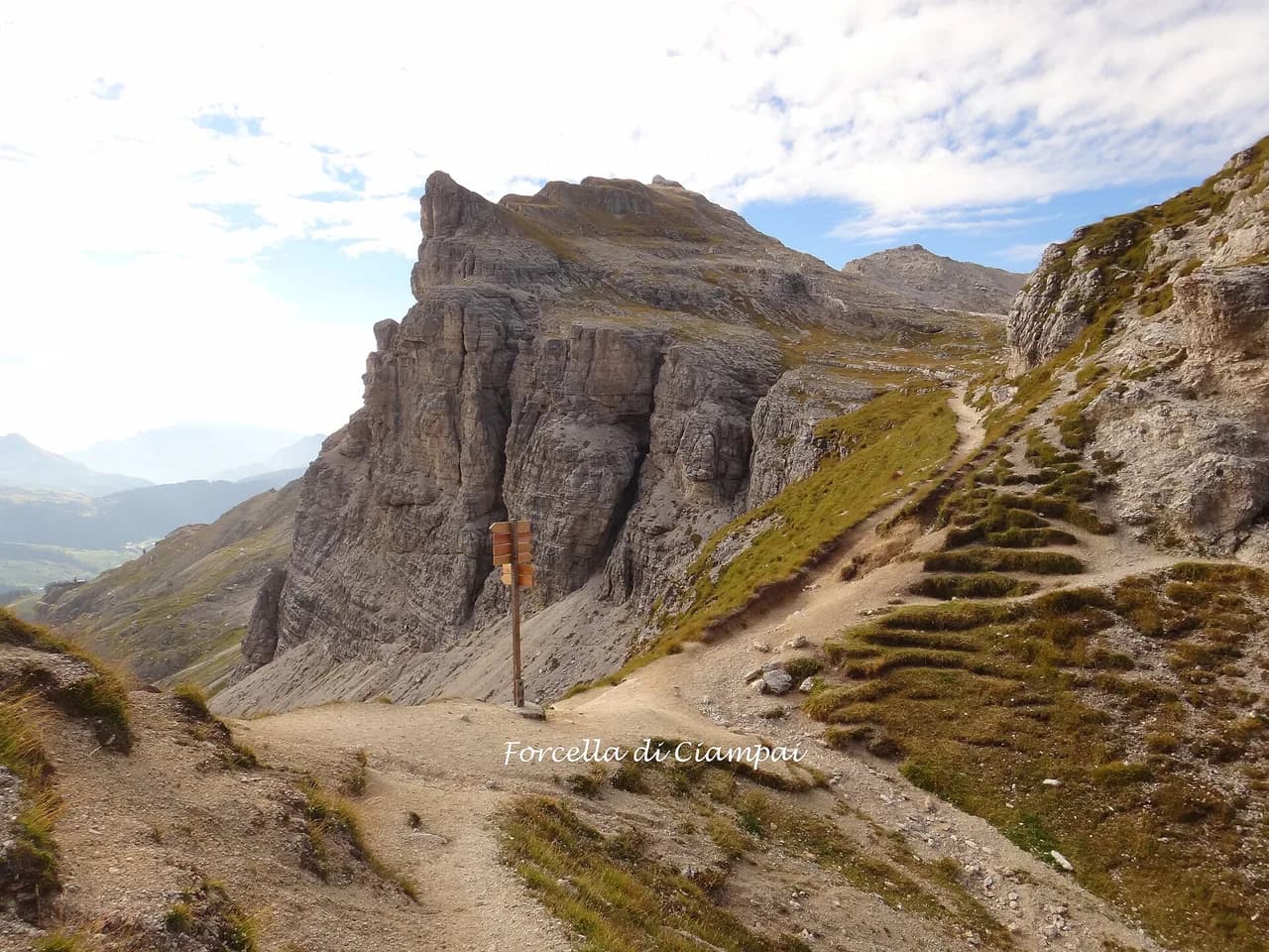
In the Dolomites, difficulty is usually a matter of how much vertical gain a route packs in, not how long it is. A path that stays on a plateau at altitude can run for hours with only gentle undulations, while a short trail dropping off the edge can demand steep, exposed steps. Choose by ascent and terrain underfoot, not by distance alone.
Lift-assisted starts are the second lever. Riding up puts you on the meadow rim within minutes, so a full day of walking begins at the top rather than after a two-hour climb. The trade-off is that you depend on the lift running, and you need to be back at a station before the last download of the day.
If you want the full picture of the range before picking a base, the wider hiking in the Dolomites covers valley-by-valley access, hut networks and harder routes; use it to see where the easy walking fits into a longer trip.
Alpe di Siusi: the plateau that suits easy walking
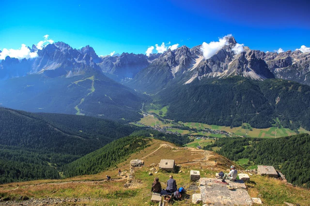
Alpe di Siusi spreads across 56 square kilometres (about 22 square miles), the largest high alpine meadow in the world, and it sits in a shallow bowl ringed by higher ground. Sassolungo, also called Langkofel, rises at its centre as a sharp tooth of rock, so the walking pivots around it and the view changes with every bend.
Because you start high, the climbing that remains is short rises between hay meadows and clumps of firs rather than mountain-side grinds. That makes the plateau a good fit for families, mixed-ability groups and anyone who wants distance without steepness.
The meadow is working farmland, cut for hay by hand in summer, with small farms scattered across it. Walk quietly past the fields, keep to the marked paths, and expect cattle and farm traffic on the tracks.
Getting up to Alpe di Siusi
From Ortisei in Val Gardena, the Alpe di Siusi cable car lifts you over the ridge to the plateau rim, putting you above the meadow in a single ride. The top station sits on the lip of the bowl, with the meadow and Sassolungo opening up immediately. Check the lift operator's own site for the season it runs and the day's last descent.
The alternative approach is by road to Compaccio, on the far side of the plateau, where a limited shuttle bus serves the few roads that cross the meadow. The plateau is closed to general car traffic apart from buses, supply vehicles and local farmers. Shuttles run infrequently, so pick up the schedule at the stops and note the end-of-day cutoff rather than counting on a late ride.
At the end of a circuit you can ride down from the Sonne chairlift to the ridge above Ortisei and connect to the gondola back to the valley. That combination lets you walk a line across the plateau instead of retracing your steps, which is the single best decision you can make on a day here.
A half-day circuit on Alpe di Siusi
Start at the cable car top station outside Ortisei and take trail 9 heading down and across the meadow toward Saltria. The path loses height gradually into more wooded ground near the valley floor, with Sassolungo holding the skyline ahead of you the whole way.
Near Saltria the trails fan out in all directions, and this is where a map earns its keep. Rather than pushing on, swing around the far side of the bowl and climb gently back onto the opposite rim, where Schlern dominates the view at the end of the plateau.
From the far rim, follow the panorama paths along the top of the bowl, then descend trail 6 to the road coming up from Compaccio. Shuttle stops line that road, so anyone in your group who has had enough can wait for a bus while the rest continue.
Finish with a short climb to the Sonne chairlift for the ride up to the ridge and the gondola down to Ortisei. Allow most of a day for the full loop, including stops; a trimmed version staying on the top-ridge paths takes considerably less.
Huts and water on the plateau
Rifugi are spread across the meadow, so you can walk light and eat lunch on the way. The Alpenhotel Panorama sits on a ridge with views in all directions and deck chairs on the lawn for a post-lunch pause; it also takes overnight guests.
Baita Sanon has a wide open deck facing the peaks, a natural stop before the short walk up to the Sonne chairlift. A beer and an espresso here, with Sassolungo across the meadow, is the reason many people rate this plateau so highly.
Carry your own water anyway. Huts cluster along the main paths, but the quieter meadow tracks can run for an hour or more between them, and on a hot July afternoon the shade is thin.
When to go
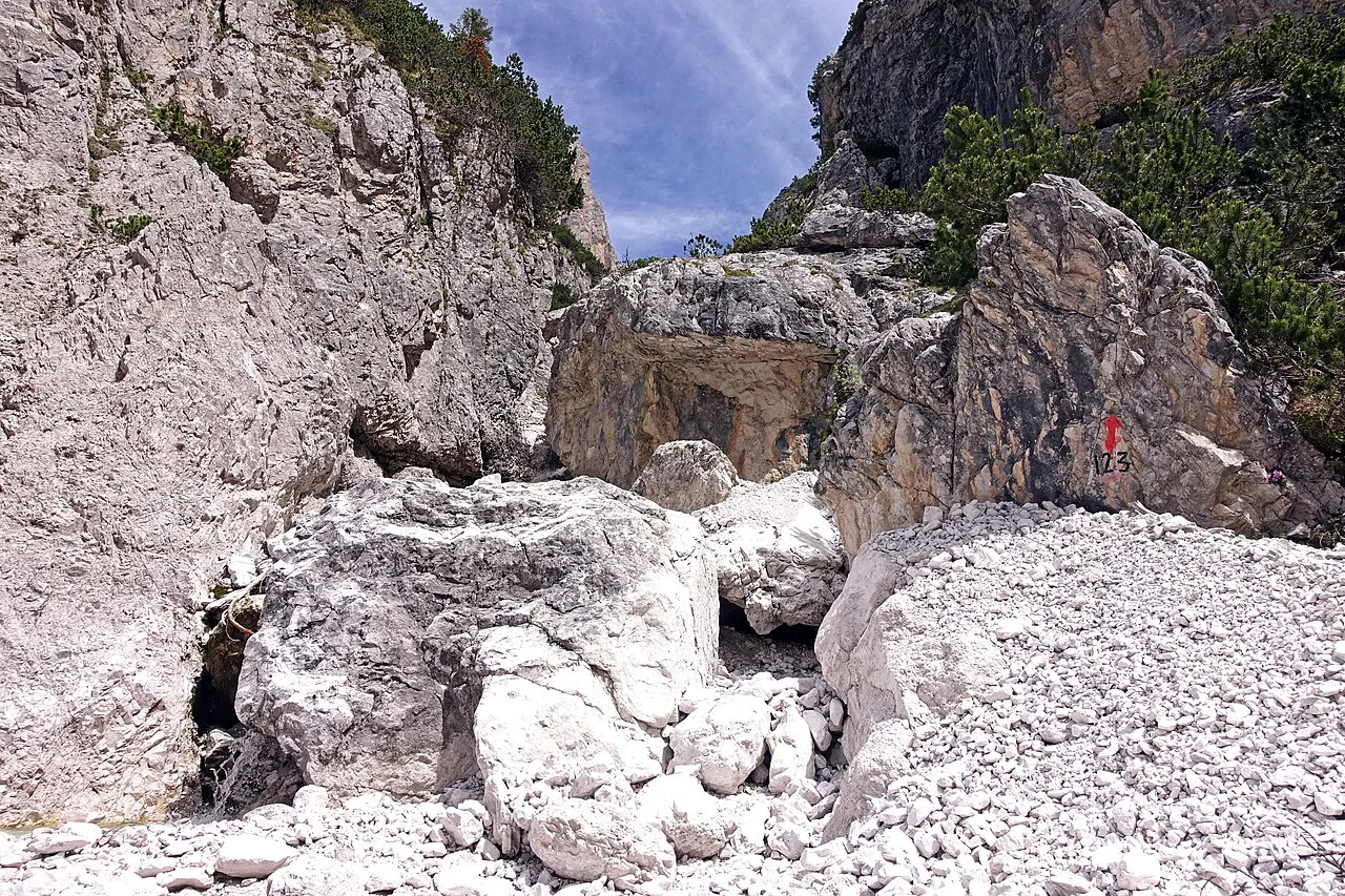
Summer is hay-harvest season on the plateau, with families cutting and stacking fields across the meadow, and the meadows at their greenest. Wildflowers peak earlier in the season, while late summer brings the harvest activity and clearer, crisper air.
Outside summer the plateau changes character completely, and the lifts and shuttle follow their own seasonal calendars. Whether a given path is walkable, and whether the mountain huts are serving, depends on the time of year, so check the lift operator's season dates and the hut opening information before you commit to a date.
Early and late in the season, snow can linger on shaded sections of the plateau and on the passes. Carry traction if you are walking in the shoulder months, and turn back rather than commit to a snow-covered traverse in trail shoes.
Shorter options from the top station
If you only have a couple of hours, stay high. The paths along the rim above Ortisei give you the classic Sassolungo view within minutes of leaving the cable car, and the café by the top station lets non-walkers in your group enjoy the same panorama without a step.
A gentle out-and-back along the ridge, turning around at the first rifugio you reach, is a realistic half-day for young children or anyone nursing a knee. You keep the views and the hut stop while cutting the descent and re-climb on the far side of the bowl.
Groups that split up can use the shuttle road as a safety net: walkers continue on the meadow paths while others ride down to Compaccio and wait. Agree a meeting point and time at the start of the day, since phone signal on the plateau is patchy.
Hazards on easy plateau routes
The plateau edges are the real hazard. Paths running along the rim above the valley can be steep and exposed where they drop off the meadow, so keep children and tired legs away from the outer edge and take the inner line when in doubt.
Afternoon thunderstorms build quickly over the Dolomites in summer. Plan to be off the open meadow and back at a lift station or hut by mid-afternoon, and treat the sound of thunder as a signal to descend rather than to push on to the next viewpoint.
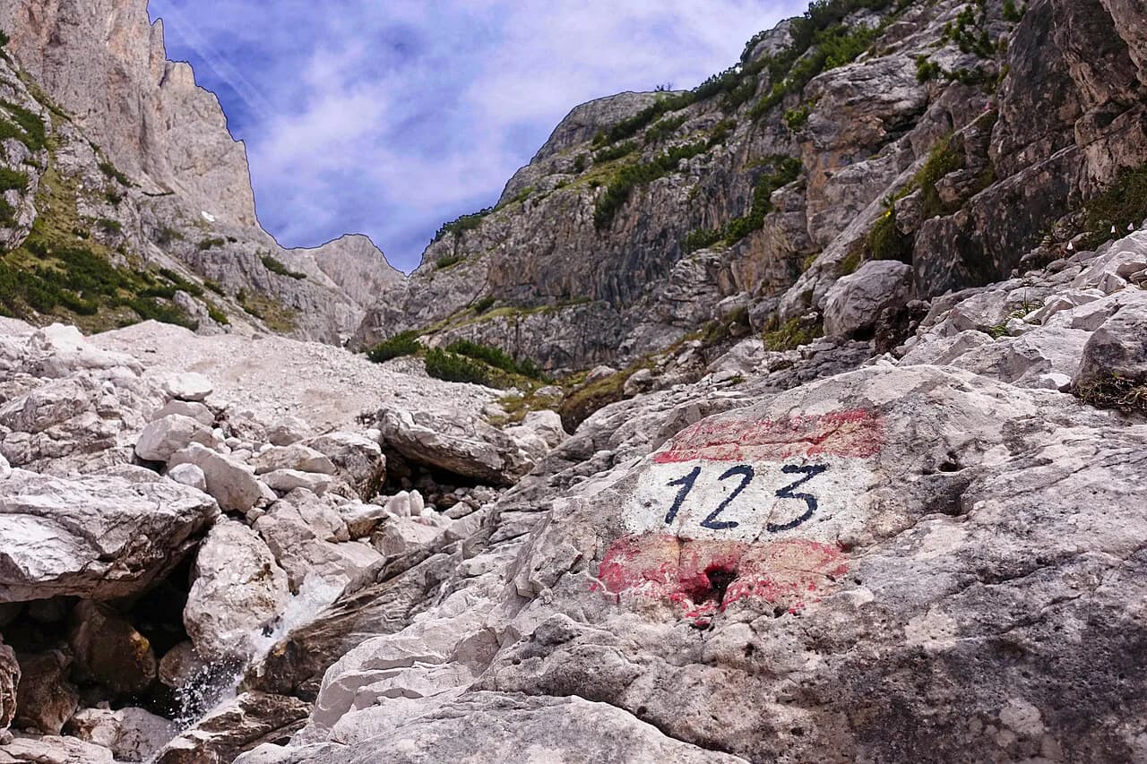
Navigation trips people up more than the terrain. Trail signs can use Italian, German or Ladin names for the same place, and each valley's map is oriented to its own town, so carry one map and match the names before you set off.
Where to base yourself
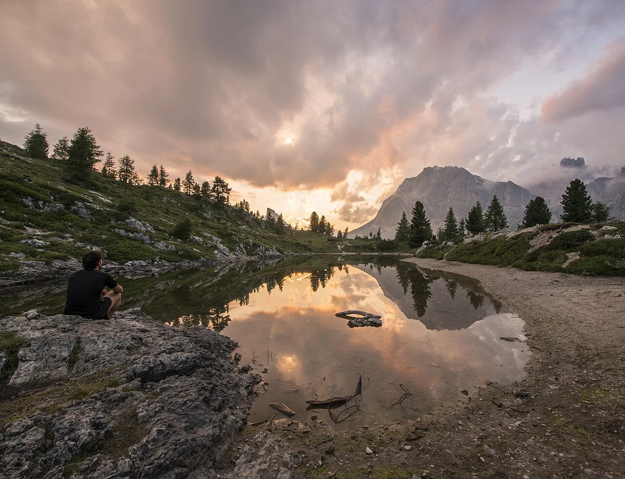
Ortisei is the most convenient base, because the Alpe di Siusi cable car leaves from just outside town and returns you there at the end of the day. Staying in the village also puts you within reach of other lift-served walking in Val Gardena on a second day. If you are weighing this base against a busier northern resort, hiking in Cortina d'Ampezzo covers the same lift-assisted day-hike logic in the eastern Dolomites.
Castelrotto, on the opposite side of the plateau, gives access by road toward Compaccio and a different angle on the meadow. It suits people who want a quieter village and are happy to plan around the shuttle rather than the gondola.
If you want more than easy
The same bases feed into much harder ground. The via ferrata lines on the craggy foothills around Sassolungo are a step up for anyone with a head for exposure and the right kit, and the Dolomites via ferrata guide sets out the grades and access.
Multi-day walkers can move from meadow strolling to the classic Alta Via 1, roughly 140 kilometres (87 miles) of hut-to-hut route from north to south, which begins near Lago di Braies. It is the easiest of the Dolomites' long routes but still a serious mountain traverse.
For overnight logistics, from which huts take bookings to when they open and how to arrange luggage transfer, see Hut to Hut Hiking in the Dolomites. That gives you the booking mechanics that turn a day-hike habit into a week in the range.
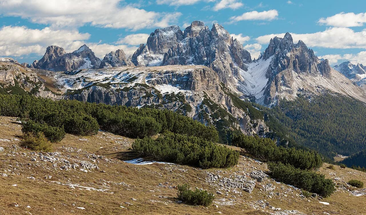
For a low-ascent valley walk with big walls above you, the Adolf Munkel Trail under the Odle/Geisler massif in Puez-Odle Nature Park is the natural next step up from the plateau. It stays in the trees and shadow of the peaks without demanding a summit push.
What to carry
Trail shoes are enough for the meadow paths, but add a warm layer and a waterproof shell: at this altitude the weather turns faster than the forecast suggests. A hat, sunscreen and at least a litre of water per person cover the basics on an exposed summer day.
Take a paper map of the plateau and a charged phone. The signs are reliable where paths cross, but junctions near Saltria and Compaccio have several options that look alike, and a printed map settles the choice faster than a screen in bright sun.
Plan Your Visit
The Alpe di Siusi gives you the Dolomites' signature scenery for the effort of a valley walk: ride up from Ortisei, follow the meadow paths around Sassolungo, eat lunch at a rifugio, and ride down from the Sonne chairlift.
Book your base in Ortisei or Castelrotto, then check the cable car and shuttle seasons for your dates before you fix the itinerary. With lift access confirmed, a half-day circuit and a second, shorter ridge walk make a satisfying easy week in the range.
Frequently Asked Questions
How hard is hiking in the Dolomites?
It depends entirely on the route you choose. Plateau paths such as those on Alpe di Siusi roll gently across high meadow with little climbing, while summit routes and via ferrata lines demand scrambling, exposure and fitness; pick by total ascent and terrain rather than distance.
What are the best easy hikes on Alpe di Siusi?
The classic half-day circuit starts at the Ortisei cable car top station and follows trail 9 toward Saltria before swinging around the far side of the bowl and returning via the panorama paths and trail 6. For something shorter, stay on the rim paths above Ortisei and turn around at the first rifugio.
Do you need a car to reach easy hikes in the Dolomites?
No. On Alpe di Siusi the Ortisei cable car reaches the plateau on foot, and a limited shuttle serves the roads across the meadow for the return. The plateau itself is closed to general car traffic, so lifts and shuttles are the practical way around.
How do you get up to Alpe di Siusi without hiking?
Take the cable car from Ortisei over the ridge to the plateau rim, where the top station has a café and the Sassolungo view opens immediately. From the far side, the Sonne chairlift and connecting gondola bring you back down to the valley.
When is the best time for easy hikes in the Dolomites?
Summer is the most reliable window, with the hay harvest under way on the plateau and the meadow at its greenest. Lifts, shuttles and huts follow seasonal calendars, so confirm the operating dates for your chosen week before booking.
Can you do easy hikes in the Dolomites with a family or mixed-ability group?
Yes, and the plateau layout helps: shuttle stops along the Compaccio road let anyone bail out partway and ride back up while the rest continue. Agree a meeting point and time in advance, since phone signal across the meadow is patchy.
Sources
Trail notes for your next trip
Optional updates when we add or revise hiking guides.
You might also like

Continue reading
More guides you'll find useful