Hiking in Andorra: Best Trails by Valley, Difficulty and Season
Plan hiking in Andorra with named trails by valley and difficulty, real distances and ascent, refuges, lift access at Arcalís, and the June to October season.
On this page
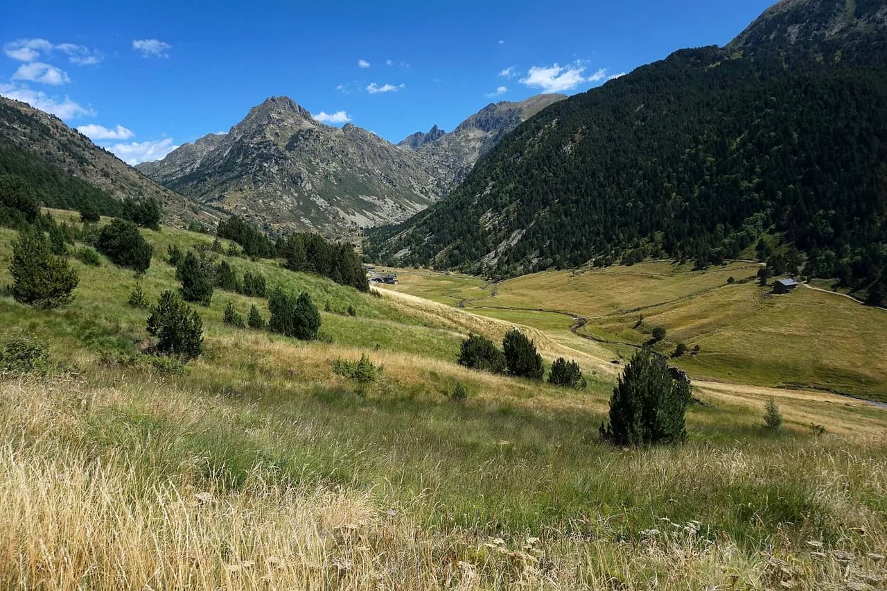
Andorra is a small Pyrenean principality where almost 90% of the land is mountainous, with an average elevation of 1,996 m (6,549 ft), and more than 80 high mountain lakes fill its glacial basins. That density means you can walk a different named route every day of a week without moving hotels, switching between easy cirque circuits and genuinely hard summit days. This guide groups the trails by valley and base town so you can pick a village first and then match the day to your fitness, the season and how much ascent you want underfoot.
The layout is simple: Grau Roig and the Pessons cirque in the east, Ordino and Arcalís in the north, La Massana under Comapedrosa, the Madriu valley above Escaldes-Engordany, and Vall d'Incles and Soldeu toward the Canillo side. Each has its own character, and each rewards a different level of hiker.
How Andorra's hikes break down by difficulty
Easy days here are valley-floor paths and short glacial cirques, mostly under two hours of walking with modest gain and good, well-used trails. Moderate days add a real climb of a few hundred metres to a lake or a mid-mountain shoulder, and they demand sure-footedness on stony ground. Hard days are the summit routes above 2,800 m (9,186 ft), where the ascent runs past 1,000 m (3,281 ft) and the day stretches to seven or eight hours.
Route grading across the country follows the Swiss Alpine Club scale, from SAC 1 walking paths up to SAC 4 to 6 terrain that asks for alpine experience, sturdy boots and a head for exposed ground. Use that as your filter when you plan: a SAC 2 to 3 day is a solid half-day outing for a regular hiker, while SAC 4 and above means you should already know how you handle loose rock and steep drops. Pick the grade you can still walk comfortably on the descent, when tired legs matter most.
Grau Roig and the Pessons cirque
The Pessons Lakes circuit from Grau Roig is the most popular walk in Andorra and a good first day: 7.95 km (4.9 mi) with 420 m (1,378 ft) of ascent and descent, roughly three hours, through the country's largest glacial lake system. The path circles the basin rather than committing to a summit, so you get the lake views without a long climb. Start early in summer, because the cirque is the busiest ground in the country and the car park at Grau Roig fills on fine weekends.
For a harder version of the same basin, the Pico de Pessons loop via the Meligar pond runs 12.4 km (7.7 mi) with 730 m (2,395 ft) of gain, about five hours, and adds a summit above the lakes. The étang de Meligar sits a little above 2,200 m (7,218 ft) among high meadows and scree, quieter than the main Pessons lakes. Take the summit version only if you are comfortable on stony, sometimes faint ground above the tree line, and turn back at the pond if cloud is building.
Ordino and Arcalís: Tristaina and Casamanya
The Tristaina lakes circuit from the Arcalís ski area is the classic easy high day: 5.01 km (3.1 mi) with 250 m (820 ft) of ascent, about two hours, past three glacial lakes in a high cirque crowned by a solar viewpoint. In summer the resort's lifts can shorten the approach, which saves legs and time if you are walking with children or recovering from a bigger day.
Casamanya from the Coll d'Ordino is the mid-mountain summit to choose when you want a view over the whole principality without technical ground. There is no scrambling on the ascent, but the climb packs a significant gain into a short distance, so it rewards steady pacing over speed. On a clear day the summit gives you the entire country spread out below, which makes it the best single viewpoint hike in Andorra for a fit walker with half a day.
Ordino works as the base for this whole northern group: the Coll d'Ordino and El Serrat are minutes away, Arcalís about twenty, and La Massana a five-minute drive. Staying there lets you walk a different route each day without long transfers, and the valley routes below the village stay open when snow closes the high ground. If you want a single base for a week of hiking in Andorra, this is the most flexible one.
La Massana and the Comapedrosa park
The Comapedrosa communal park above La Massana holds Andorra's highest peak and the country's hardest day walks. The valley route to the Portella de Baiau runs 14.5 km (9 mi) out and back with 1,220 m (4,003 ft) of ascent and descent, about seven hours, and stays on mostly accessible paths that still ask for sure footing. The Pico de Comapedrosa circuit is shorter at 13.4 km (8.3 mi) but steeper, with 1,340 m (4,397 ft) of gain, and it is the route to Andorra's highest summit.
Both are exposed high-mountain days: loose rock on the upper slopes, steep ground near the pass and summit, and weather that turns faster than the valley forecast suggests. Leave early, set a turnaround time, and treat afternoon storms as a real deadline rather than a possibility. If you have not walked a 1,300 m ascent day recently, the Portella de Baiau is the gentler introduction to the park's scale.
The Madriu-Perafita-Claror valley
The Estany de l'Illa loop from Escaldes-Engordany is the long day in the Madriu valley: 22.8 km (14.2 mi) with 1,250 m (4,101 ft) of ascent and slightly less descent, about eight hours and a half on mostly accessible paths. It is a hard walk by distance rather than by technical difficulty, so it suits strong walkers who prefer a long valley circuit to a summit scramble. The Refugi de l'Illa, at 2,488 m (8,163 ft), is the key landmark near the lake and offers overnight stays in eight-bed rooms with functional facilities and good food.
Turning the loop into an overnight takes the sting out of the distance and puts you at the lake for early light. Arrange the stay directly with the refuge before you travel, since beds in an eight-person room are limited and the walk out is long if you arrive without one. This valley is also the place to see how the country's transhumance landscapes and stone shelters survived centuries of use.
Vall d'Incles and Soldeu
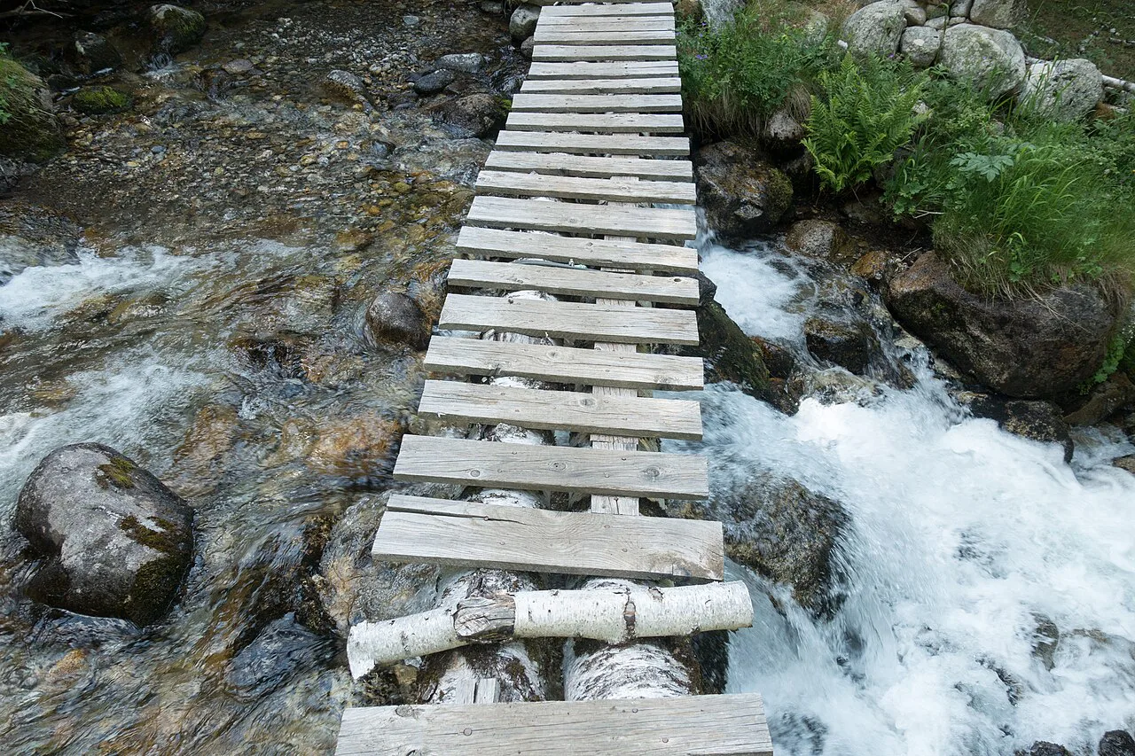
The Obac d'Incles circuit is the easiest proper outing on this side of the country: 5.46 km (3.4 mi) with just 110 m (361 ft) of gain, about an hour and a half, through a distinctive U-shaped valley with waterfalls and panels explaining the valley's past and nature. It is the walk to choose on a short day, with young children, or when cloud is sitting on the summits. The trailhead by the bridge over the river has a clean toilet building and a defibrillator.
The Juclar lake trail climbs from Vall d'Incles to the Juclà refuge in 7.29 km (4.5 mi) round trip with 470 m (1,542 ft) of gain, about three and a half hours, with a steep section alongside the Juclar waterfall. It sits at the moderate end of the scale and is the natural step up from the valley floor. The Tossal d'Incles from Soldeu is bigger again at 11.6 km (7.2 mi) with 780 m (2,559 ft) of gain, roughly four and a half hours, looping via the Estany del Siscaro and the Camí del pas dels Garalls.
Engolasters and the Camino de les Perdines
The Camino de les Perdines round trip to the Lago de Engolasters is 6.37 km (4 mi) with only 100 m (328 ft) of ascent, about an hour and three quarters, and it stays on easily accessible paths. It makes a good half day near Escaldes-Engordany when you want a lake without a long approach, and the short climb keeps it manageable for most fitness levels. Combine it with a slow morning in town rather than treating it as the main objective of the day.
For viewpoints, the Mirador Roc del Quer and the Pont Tibeta suspension bridge are the two engineered stops that many walkers add to a hiking day in Andorra. They are sightseeing rather than trail objectives, so slot them into a rest afternoon or a travel day instead of replacing a full route.
Themed and family trails
The Macarulla trails turn a walk into a story, with panels, games and challenges along the way; there are four of them, and the best known, El bosc dels Menairons, is in the village of Pal in La Massana. They are designed so the point is completing the activities rather than covering distance, which suits children who need a reason to keep moving.
The Tamarros search sends families after seven hidden figures, one in each of Andorra's seven parishes, using an official book to mark each find. Do it over several days and it becomes a thread through a whole holiday rather than a single outing. Bosc Viu mixes sculptures with trees on a short easy walk, and Moments: Som Muntanya in the Rialb valley in Ordino is a sensory route where you stop to look, touch, smell and listen.
Moments: Som Muntanya is the only one of these routes that charges and requires booking, arranged through the Ordino tourist office or the Sorteny valley park information hut, which opens in summer. Ask about the current fee and available slots when you book. The Rialb valley runs parallel to the Sorteny valley park, so either makes a quiet half day with children.
Refuges on the routes
Andorra has around thirty mountain refuges reachable only on foot, open year-round, of which six are staffed during the season, including those at Sorteny and Comapedrosa. That mix matters for planning: a staffed refuge gives you a meal and a bed, while an unstaffed one is a shelter rather than a service. The staffed huts also keep a refuge passport that gets stamped at each visit, which gives a week of day walks a collecting thread.
On the routes described here, the Juclà refuge sits near the Estanys de Juclar above Vall d'Incles, the Refugi de l'Illa serves the Madriu circuit, and the Comapedrosa refuge is the key stop for the highest peak. Book any overnight directly with the hut or its managing club well before a summer weekend, and confirm whether meals are included.
Getting to trailheads, lifts and buses
Most of Andorra's key trailheads sit just off the main road corridors, and each base town puts a different group of routes within a short drive. From Ordino, the Coll d'Ordino, El Serrat and Arcalís are all close; from La Massana you are under Comapedrosa; Soldeu and Canillo serve the Incles valley; Escaldes-Engordany is the start for Madriu. Choose your base by the hikes you most want rather than by hotel choice, because the transfers between valleys are short but repeated.
Buses connect the towns and villages, so you can reach the towns from which trailheads are accessible without a car, though the more remote starts are easier with your own transport. The Arcalís lifts are the one piece of mountain transport that genuinely shortens a hike, on the Tristaina circuit, and their summer schedule changes by season. Download your route map before you lose signal in the valleys.
When to go
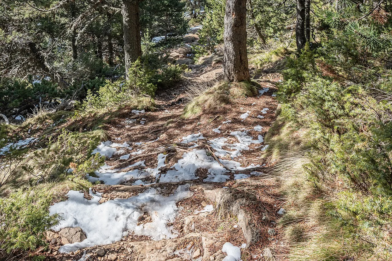
High-mountain hiking in Andorra works from June to October, and snow can linger on high trails into early July, so early-summer plans should stay flexible on the biggest routes. May and November are valley months: the riverside and stone-village paths stay walkable when the cirques and passes are not. That gives you two distinct seasons rather than one generic window, and it changes which base makes sense.
The Tristaina cirque is described as a June to October walk, snow-covered the rest of the year, which is a fair guide to the high ground generally. Book your trip in the shoulder weeks of late June or September if you want the lakes without the busiest paths.
Mountain hazards on Andorran trails
The serious hazards here are altitude, exposure and weather rather than technical climbing. On Comapedrosa and the Portella de Baiau the upper slopes are loose and steep, and afternoon storms build quickly above the tree line; start early and be off the high ground by mid-afternoon. Shaded north faces hold snow later than the sunny side of a valley, so a route that is dry in July can still have a snow patch on the pass.
For valley routes a pair of comfortable shoes with decent soles is enough, but mid- and high-mountain days need proper hiking footwear, layers, water, sun protection and a downloaded map. Carry more water than the distance suggests on the exposed cirque walks, where there is little shade.
Which base suits which hikes
Ordino is the best all-round base: Sorteny, Casamanya and Arcalís are all minutes away, and you can mix a hard summit with a valley recovery day without moving the car. La Massana suits anyone targeting Comapedrosa and the highest peak. Soldeu and Canillo put you at the door of the Incles valley and its short, family-friendly circuits, while Escaldes-Engordany is the natural base for the long Madriu day.
If you only have three days, base in Ordino, walk Tristaina and Casamanya, then drive to Grau Roig for the Pessons circuit on the way out. That sequence builds from easy to moderate and keeps the longest transfer for the final morning. If three days leave you wanting a longer multi-day route, the Mont Blanc hiking guide shows how a week of staged walking compares with this base-and-day-walk approach.
Plan Your Andorra Hiking Trip
Start with your base: Ordino for variety and lift access, La Massana for the biggest peaks, Soldeu and Canillo for short valley walks, Escaldes-Engordany for the Madriu circuit. Then match the day to the season, keeping high cirques and summits for June to October and the valley paths for the shoulder months. With distances from five to twenty-three kilometres across the country, there is a route for every day of a week.
Andorra's short valley circuits and stony summit days make a compact first taste of Pyrenean walking, and they sit comfortably alongside the continent's longer routes. If you want to compare formats before committing your dates, the best hikes in europe range from multi-day traverses such as the camino de santiago to island ridgelines like the GR20, so you can judge how a week in Andorra fits a wider trip. For the neighbouring ranges on the same side of the border, hiking in the Pyrenees is the closest comparison to what you have just read.
Frequently Asked Questions
Is Andorra good for hiking?
Yes. Almost 90% of the country is mountainous, with more than 80 high mountain lakes and a dense network of marked paths, from short valley circuits to summit routes on Andorra's highest peak. A regular hiker can walk a different named route each day of a week from a single base.
What is the best time of year to hike in Andorra?
High-mountain routes are at their best from June to October, though snow can linger on high trails into early July. May and November are better for valley-floor paths, when the cirques and passes are less reliable.
Are there easy hikes in Andorra for families?
The Obac d'Incles circuit is a short, gently graded valley walk, and the Camino de les Perdines to the Lago de Engolasters stays on easy paths. Themed routes such as the Macarulla trails and the Tamarros search are built around activities for children rather than distance.
How hard is the Comapedrosa hike?
It is a hard day. The Pico de Comapedrosa circuit covers 13.4 km with 1,340 m of ascent, and the Portella de Baiau route covers 14.5 km with 1,220 m, both around seven hours on exposed, stony ground. Go only with good fitness and alpine experience.
Do you need a car to reach Andorra's trailheads?
Buses link the towns and villages from which trailheads are accessible, so you can manage without a car. Remote starts are easier with your own transport, and the Arcalís lifts shorten the Tristaina approach in summer.
Are there mountain huts in Andorra?
There are around thirty refuges reachable only on foot, open year-round, with six staffed during the season, including Sorteny and Comapedrosa. On these routes the Juclà refuge, the Refugi de l'Illa and the Comapedrosa refuge are the key stops, and overnights should be booked ahead with the hut.
Sources
Trail notes for your next trip
Optional updates when we add or revise hiking guides.
You might also like
Continue reading
More guides you'll find useful