Table Mountain from Crickhowell Walk: Route, Ascent and Time
A short, steep circular walk from Crickhowell to the Crug Hywel hillfort on Table Mountain, with distance, ascent, walking time and route landmarks.
On this page
Table Mountain above Crickhowell is a compact, steep hill with a big reward: the flat-topped summit carries the Iron Age hillfort of Crug Hywel, and the climb to it packs a full mountain day's views into roughly half a day. It suits hikers with steady legs and a spare morning or afternoon rather than anyone looking for a long ridge traverse.
The town itself grew at an ancient crossing point over the River Usk, and its English name is bound up with the fort on top, so the walk reads as a short history lesson as well as a climb. Expect a sharp ascent, stiles and narrow gates, and a summit that opens onto the broad Usk Valley with Mynydd Llangatwg opposite and the Black Mountains to the north.
Table Mountain and Crug Hywel hillfort: what the walk delivers
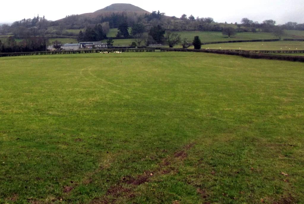
The draw is the combination of a modest, well-defined hill and a genuine archaeological site on its crown. Crug Hywel, Hywel's fort in English, sits on the flat summit, and its ditches and ruined stone defences survive well enough to read as ramparts as you approach. The national park describes the route as a short but steep walk up the mountain to admire the views from the hillfort.
That makes it a satisfying choice if you want elevation and a viewpoint without committing to a full day out, and a good first hill if you are building confidence on steeper ground. If you would rather trade the hillfort for open moorland, hiking in Dartmoor offers short steep climbs of a similar half-day scale. The trade-off is that almost all the height gain comes in a short distance, so the climb feels more demanding than its length suggests.
Trailhead and starting point in Crickhowell
The walk starts in Crickhowell itself, which keeps logistics simple: you can leave the car or arrive by bus and be on the hill within minutes. The national park gives OS grid reference SO218183 and postcode NP8 1AD for the starting point, so you can set the satnav or paper map before leaving town.
From the town center, the route follows a tree-lined path up beside Cumbeth Brook before emerging onto open hillside. Parking in Crickhowell, bus timetables and any charges are matters to settle with the town's own signage and the local transport operator before you travel, since the walking route information does not include them.
Distance, ascent and time
Published figures for this circuit differ because they measure slightly different lines and rounding conventions, so treat them as a range rather than a single truth. The national park gives a circular route of 7.2 km (4.47 mi), about 3 hours, with a 380 m (1,247 ft) ascent.
Walking Britain lists 5.0 miles (8.1 km) with 1,200 ft (364 m) of ascent and a time of 3 hours 30 minutes, and gives the summit height as 451 m above sea level. AllTrails records 4.6 mi with 1,250 ft of elevation gain and 2.5 to 3 hours.
For planning, budget three hours of moving time and add a margin for the summit and for the steep, uneven ground on the way up and down. The ascent figure of roughly 360 to 380 m (1,180 to 1,247 ft) over such a short distance is the number that matters most: it tells you this is a sustained pull, not a gentle stroll.
Route description: Cumbeth Brook, the open hillside and the ramparts
From Crickhowell the path climbs through trees beside Cumbeth Brook, which gives shade and a clear line to follow on the lower section. Once you leave the trees you are on open hillside, where the route bends along the mountain wall toward the back of the hillfort.
The national park rates the route grade 4, defined as routes with narrow sections, steep gradients or muddy and stony surfaces, narrow gates or stiles, and no seats. In practice that means you should expect to use your hands on gates, watch your footing on loose stone, and plan to rest standing up.
Navigation is straightforward in clear weather because the hill is open and the fort is visible, but the ground underfoot is the real test. Wear boots with grip and give yourself time on the steep sections rather than trying to keep a fast pace.
The summit: ditches, ruined defences and the Usk Valley view
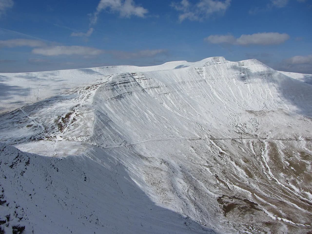
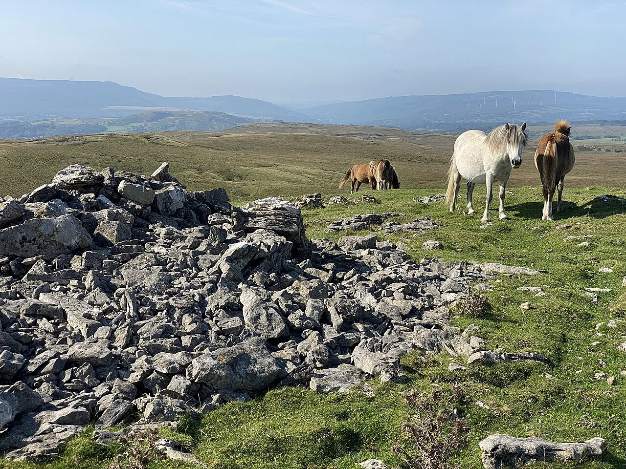
On top, the hillfort's ditches and ruined stone defences are the main features to look for as you walk the flat crown. The view is the payoff: the broad-bottomed Usk Valley stretches below, Mynydd Llangatwg rises on the far side, and the Black Mountains loom to the north.
From the summit you can also look back at Crickhowell and see why the fort was placed here, with the crossing point of the River Usk directly below. Allow time on top rather than treating the summit as a touch-and-turn point.
Descent back to Crickhowell
The return is the same short, sharp gradient in reverse, and on muddy or stony ground the descent often takes as long as the climb. Keep your steps short on the steep sections and use the stiles and gates as natural pauses.
Because the walk is circular, you finish back in town, which makes it easy to combine with a look around Crickhowell afterward. Plan the descent so you are not hurrying in fading light, particularly in winter.
When to go: seasons, ground conditions and weather
The hill is at its best in dry, clear weather when the paths are firm and the views open up. Mud and loose stone are named characteristics of the route, so after wet spells expect slower going on both the climb and the descent.
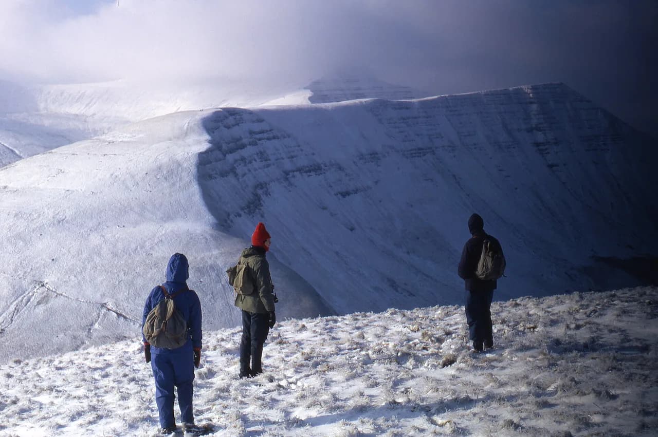
In winter and early spring, ice and snow can linger on the upper slopes and the steep ground becomes more serious. In summer, start early to avoid the heat of the day on the open hillside and to leave a buffer before afternoon storms build. There is no seating on the route, so plan your breaks accordingly.
What to wear and carry for a steep, stony route
Boots with real grip are the priority on this route, given the stony and muddy surfaces and the steep gradient. Carry a waterproof shell even on a bright forecast, since the summit is exposed and the weather can turn while you are on the open hillside.
Bring water and snacks, because the route has no seats and no facilities along its length. A paper map or offline map loaded with the grid reference SO218183 is worth having as a backup to a phone.
Extending or shortening the day around Crickhowell
This is already a half-day outing, and if you want a longer day in the Brecon Beacons National Park, other hills nearby offer more sustained walking. If you are building a trip around the park, the wider collection of walks in Brecon Beacons is a good place to match your fitness to the right route.
For a bigger mountain day, the Pen y Fan walk is the classic objective in the national park, but it is a different scale of outing and a separate trip from Crickhowell. Closer to the same half-day format are the Four Falls Walk, Brecon Beacons, and the Sugar Loaf Walk, Brecon Beacons, both of which pair well with a Table Mountain morning.
Where to stay and eat in Crickhowell
Staying in Crickhowell puts the trailhead on your doorstep and lets you pick a weather window on the day rather than committing to a drive. The town sits at an ancient crossing point over the River Usk and has long served travelers, which makes it a practical base for this walk.
Book accommodation and meals directly with the town's providers, and check opening times with each place, since the route information does not cover them. For a wider choice of bases across the park, see the Brecon Beacons National Park guide.
Plan Your Visit
Table Mountain from Crickhowell is the right choice when you want a sharp, short climb with a hillfort and a wide valley view rather than a long day on the hill. Budget around three hours, expect stiles and steep stony ground, and treat the 380 m (1,247 ft) of ascent as the real measure of the day.
Check the national park page for the route before you go, and confirm parking and transport locally. If you want a longer outing in the same park, look at the Llyn y Fan Fach walk or the Llyn y Fan Fawr circuit for a contrast in scenery.
Frequently Asked Questions
Is there a circular walk from Crickhowell to Table Mountain?
Yes. The national park describes a circular route from Crickhowell to the hillfort on Table Mountain, 7.2 km (4.47 mi) long and taking about three hours, with 380 m (1,247 ft) of ascent. Other published versions of the route vary slightly in length and ascent, so allow a margin on your first visit.
How long is the walk up to Table Mountain from Crickhowell?
Published times range from about 2.5 to 3.5 hours, with the national park giving roughly three hours for the 7.2 km circular route. The climb itself is short, but the steep gradient and stony ground mean the ascent takes longer than the distance suggests.
How hard is the climb to Table Mountain?
The national park rates the route grade 4, meaning narrow sections, steep gradients, muddy and stony surfaces, narrow gates or stiles, and no seats along the way. It is a short climb rather than a long one, but the ascent is sustained, so steady legs and grippy boots matter more than fitness for distance.
Where does the Crickhowell to Table Mountain walk start?
The walk starts in Crickhowell, with the national park giving OS grid reference SO218183 and postcode NP8 1AD for the starting point. From town the path climbs beside Cumbeth Brook before opening onto the hillside.
What can you see from the top of Table Mountain above Crickhowell?
The summit carries the ditches and ruined stone defences of the Crug Hywel hillfort, and the view takes in the broad Usk Valley, Mynydd Llangatwg on the far side and the Black Mountains to the north. You can also look back down on Crickhowell and its crossing point over the River Usk.
Sources
Trail notes for your next trip
Optional updates when we add or revise hiking guides.
You might also like
Continue reading
More guides you'll find useful