
Grasmere Walks: Which Lake District Routes to Choose
Plan Grasmere walks in the Lake District: Helm Crag, Easedale Tarn, Loughrigg Fell and lakeshore routes with distances, ascent, terrain and parking.
On this page
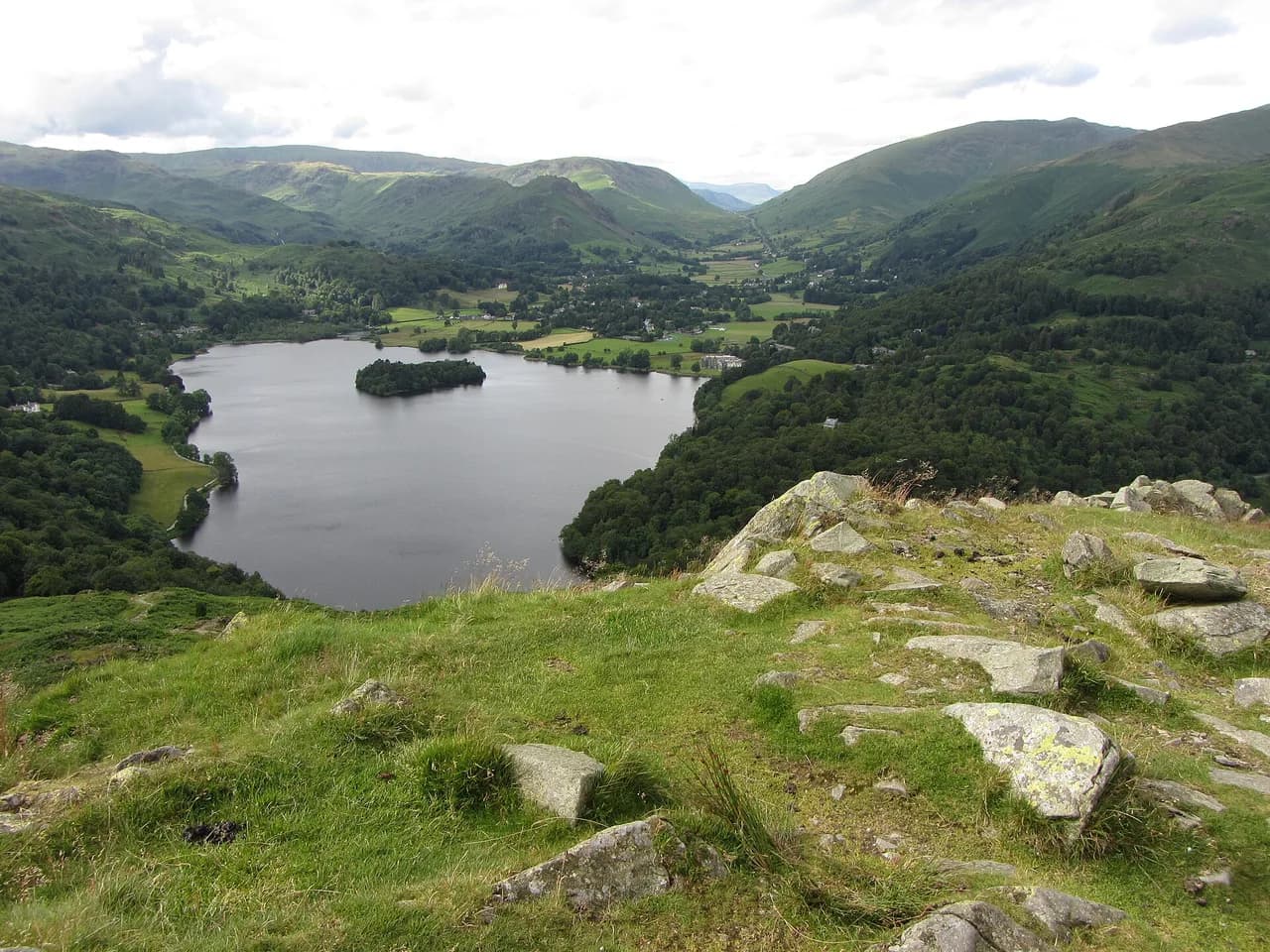
Grasmere sits in the central Lake District, with low lakeshore paths, a gentle tarn basin and a rocky summit all starting from the same village. That range makes it a practical base whether you have half a day with children or a full day on high fells.
The routes below are ordered by effort, from the lakeshore circuit to Helm Crag, Easedale Tarn and Loughrigg Fell, then onward to the bigger days above Ambleside and Langdale. Distances and ascent are given where a source states them, and the terrain is described so you can match a walk to your fitness and the weather.
Grasmere as a walking base
Grasmere lies in the central spine of the Lake District, close to Rydal and Ambleside, with fells rising on both sides of the valley. The village is famous for its Wordsworth connections, including Dove Cottage and St Oswald's Church, but the walking is the main draw: a lake circuit, a tarn walk and a craggy summit all begin within walking distance of the shops. If you are weighing up a different national park for a similar day out, the Peak District hiking guide covers comparable route choices.
The trade-off is crowds. Grasmere can become a bottleneck on busy days, so an early start or a route that leaves the village centre quickly makes a real difference. Rydal Water and the River Brathay lie between Grasmere and Ambleside, giving low-level options when the tops are clouded.
Grasmere lakeshore circuit
The lakeshore walk is the lowest-effort option and suits families or a casual wander. Grasmere Lake is a major part of the village's character, and the shore path gives views across the water with Loughrigg towering above. Keep an eye out for the hollow tree, a well-known landmark and photo stop on the route.
The path is mostly level and easy underfoot, making it a good choice after rain when the fells are slippery. It also works as an evening stroll or a rest-day walk between harder days.
Helm Crag from Grasmere
Helm Crag is the small rocky summit north of Grasmere, and the classic route is a 10 km (6 mile) round with 511 m (1,676 ft) of ascent, taking roughly 2 hours. The path is clear all the way, but underfoot conditions vary between grass, gravel and mud, and bracken can be thick on the climb. Allow more time if you stop for views or walk with children.
There are two practical starting points. You can park in Grasmere village, or use the large layby on the A591 at the foot of the hill, which puts you closer to the climb. The layby is the better choice if you want to avoid village traffic, while village parking lets you combine the walk with a look round Grasmere.
The usual approach follows Green Burn north-west along the bottom of the hill before turning up Helm Crag from the northern side. The path zigzags through bracken to the summit crags. The final section is steep but short, and the ridge is exposed to wind, so a windproof layer is worth carrying even on a calm valley day.
Helm Crag summit landmarks and onward ridge
The summit is a cluster of named crags. The Howitzer and the Lion and Lamb are the best-known rock features, and the southern edge gives a view over the water below. Seat Sandal rises across the valley, and Easdale Tarn sits to the west.
If you want a longer day, a path runs north-west from the summit toward Gibson Knott. That turns a short fell walk into a ridge outing, so check the weather and your remaining daylight before committing. The ridge is exposed in places and the ground is rocky, which slows progress compared with the valley paths.
Easedale Tarn
Easedale Tarn is reached by a steady path from Grasmere through Easedale, and it is one of the most family-friendly walks in the valley. The tarn sits in a basin surrounded by steep fells, so the final view feels bigger than the effort suggests. The path is rough in places but not technical, and the tarn makes a good picnic stop.
The basin is exposed to wind and rain, and the ground can be boggy after wet weather. Carry waterproof boots and a shell, and turn back before the tarn if the cloud is down and you are unsure of the path.
Loughrigg Fell from Grasmere
Loughrigg Fell is a low summit with a big view, and the route from Grasmere starts with about a mile along Red Bank Road before the path climbs through woodland to Loughrigg Terrace. From the terrace, a steep pull takes you to the summit. The terrace itself is a gentle objective if you want the view without the final climb.
From the summit you can head back down the way you came, or take a path on the southern side to Loughrigg Tarn. The southern descent adds variety but is rougher and less direct, so choose it only if you have time and a map. The summit is exposed, and the steep section is slippery when wet.
Linking Loughrigg Tarn, Rydal Water and Grasmere
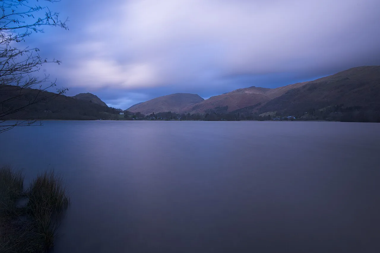
Stronger walkers can link Loughrigg Fell, Loughrigg Tarn, Rydal Water and Grasmere into a longer circuit. A circuit of Loughrigg Fell includes Loughrigg Tarn, Grasmere and Rydal, and it makes a full day with varied terrain. The route combines woodland, open fell and lakeshore, so it rewards an early start and a packed lunch.
The linking paths are not all waymarked at every junction, so carry a map and know your escape routes down to Rydal or Grasmere. The tarn and lakeshore sections are easy, but the fell section adds ascent and exposure.
Harder fells above Ambleside and Langdale
For a bigger day, the Fairfield Horseshoe is a classic 10-mile round from Rydal or Ambleside taking in several high fells. It suits fit walkers with nav skills and a full day, and the ridge is exposed to wind and cloud. The Horseshoe is a step up from the Grasmere valley walks, so treat it as a separate outing.
In Langdale, the Langdale Pikes are reached via Stickle Tarn before a steep climb onto the three famous tops. Lingmoor Fell gives a long rocky ridge and an excellent panorama for less commitment. Wansfell Pike above Windermere is a steep climb with great views across the lake, and the Crinkle Crags and Bowfell ridge includes the Climber's Traverse, which is rough ground for experienced walkers.
These fells sit outside the immediate Grasmere valley but are reachable from the same base. The Langdale valley is the jewel of the central Lake District, and a drink at the Dungeon Ghyll hotel after a walk up to Stickle Tarn or Lingmoor Fell is part of the day.
Many of these tops are Wainwright fells, and the full list is worth knowing if you plan to return. The Wainwrights cover 214 Lakeland summits, and bagging them is a long-term project rather than a single trip. For a broader overview of the region, see the hiking in Lake District guide.
Distance, ascent and time at a glance
Helm Crag: 10 km (6 miles), 511 m (1,676 ft) ascent, about 2 hours. Easedale Tarn: steady path from Grasmere, family-friendly, no stated distance or ascent. Loughrigg Fell: about a mile up Red Bank Road, then woodland to the terrace and a steep summit pull. Grasmere lakeshore: low-level circuit, easy underfoot.
Fairfield Horseshoe: 10 miles from Rydal or Ambleside. Exploring Elter Water: 4 miles from Elterwater village. Use these figures to match the day to your group, and add time for stops and navigation on the rougher routes.
Getting to Grasmere and parking
Grasmere is on the A591 between Ambleside and Keswick, and the village gets busy on peak days. For Helm Crag, the large layby on the A591 at the foot of the hill is the most direct parking, while village parking suits the lakeshore, Easedale Tarn and Loughrigg routes. Parking in Langdale can be expensive and limited, so arrive early if you plan a Langdale day.
Public transport is useful for one-way walks, and buses link the villages in the central Lakes. Check current timetables before you rely on a late service back.
When to go
Spring and autumn give the best balance of daylight, quieter paths and firm ground on the lower routes. Summer brings the longest days but also the busiest village and the highest chance of afternoon showers. Winter walks on the valley paths are possible, but the high fells need snow and ice equipment and shorter days mean earlier starts.
Bracken is thick on Helm Crag in summer, and mud is common on the tarn and fell paths after rain. Snow can linger on the tops into spring, so check conditions before committing to the Fairfield Horseshoe or the Langdale Pikes.
Huts, shelter and water
There are no mountain huts on these day routes, but Grasmere village has cafes, pubs and shops for before and after a walk. Carry water and food for the longer days, as the high fells have no reliable refill points. Easedale Tarn and the lakeshore make good picnic stops in dry weather.
Where to base yourself
Grasmere suits the lakeshore, Easedale Tarn, Helm Crag and Loughrigg Fell, all within walking distance of the village. Rydal is small, and accommodation is limited, but it is well placed for Rydal Water and the Fairfield Horseshoe. Ambleside has the widest range of shops and places to eat and is a good base for the Fairfield Horseshoe and Wansfell Pike.
For Langdale, the villages of Elterwater and Chapel Stile are within easy walking of some of the best scenery in the Lake District, and each has at least one excellent pub. They make a quieter alternative to Grasmere if your priority is the Langdale Pikes and Lingmoor Fell.
Mountain hazards
The fell tops around Grasmere are exposed to wind and fast-changing weather, and the Helm Crag summit can be blustery even on a calm valley day. Ground on the higher ridges is steep and loose in places, and the Climber's Traverse on Crinkle Crags is rough ground for experienced walkers. Carry a map, a shell and enough food for the day, and turn back if cloud lowers on the tops.
Plan Your Grasmere Walks
Start with the route that matches your time and fitness: the lakeshore for a gentle hour, Easedale Tarn for a family half-day, Helm Crag for a short rocky summit, or Loughrigg Fell for a bigger view. Keep the Fairfield Horseshoe and the Langdale fells for a full day with an early start and a check on the weather.
Park at the A591 layby for Helm Crag and in the village for the other routes, and expect crowds on peak days. Carry a map, waterproofs and water, and leave the high ridges for settled weather.
Frequently Asked Questions
How difficult is Helm Crag from Grasmere?
Helm Crag is a short fell walk with 511 m (1,676 ft) of ascent over 10 km (6 miles), taking roughly 2 hours. The path is clear but steep in places, with grass, gravel and mud underfoot and thick bracken in summer. It suits most walkers with basic fitness, but the summit is exposed to wind.
How long does the Helm Crag walk take?
Allow about 2 hours for the round trip at a steady pace, plus time for stops at the summit. The route is 10 km (6 miles) with 511 m (1,676 ft) of ascent, and bracken or mud can slow progress.
Is Easedale Tarn a hard walk?
No, Easedale Tarn is reached by a steady path from Grasmere and is one of the more family-friendly walks in the valley. The ground is rough in places and can be boggy after rain, and the tarn basin is exposed to wind and weather.
Where do you park for Helm Crag?
You can park in Grasmere village or use the large layby on the A591 at the foot of the hill. The layby puts you closer to the climb, while village parking lets you combine the walk with a look round Grasmere.
Can you walk around Grasmere lake?
Yes, the lakeshore path makes a low-level circuit under Loughrigg and is easy underfoot. It suits families and casual walkers, and the hollow tree is a well-known landmark on the route.
Which Grasmere walk has the best views?
Helm Crag gives a rocky summit view down to Grasmere reservoir and across to Seat Sandal and Easdale Tarn. Loughrigg Fell offers a wider panorama for a little more effort, and the Fairfield Horseshoe gives the biggest views for strong walkers.
Sources
Trail notes for your next trip
Optional updates when we add or revise hiking guides.
You might also like



Continue reading
More guides you'll find useful





